South Branch of the Middle Fork of the Feather River (Upper)
| Stretch: | Bridge to Seven Falls |
| Difficulty: | Class V |
| Distance: | 3.9 miles |
| Flows: | ~150-500? cfs (No Gauge) |
| Gradient: | 154 fpm for 3.1 miles then 840 fpm for 0.7 miles |
| Put-in: | Random Bridge in the middle of nowhere... |
| Take-out: | Seven Falls, random trail in the middle of nowhere |
| Shuttle: | 4 miles (dirt road, but not bad but still a small clearance needed) |
| Season: | Spring from snowmelt. |
| Written: | © 2011 |
| Featured in Video Forty-Six and John Moore's rapid-by-rapid video | |
South Branch of the Middle Fork of the Feather River, most commonly referred to just as "The South Branch." This river is in the classic echelon of rivers in California, along with South Silver and Big Kimshew, these rivers are known for their steep gradient, clean drops, and unique stature as one-day runs. This run used to be considered a two day run back when people would regularly paddle the Lower run in conjunction with the Upper which would necessitate a 1 hour portage through poison oak infested mountain sides to avoid the bottom several drops of the Seven Falls. A few years ago, word got out that the hike out below the "50" footer was actually not that bad and the popularity grew exponentially. This was also the time that blogs were extremely popular which probably contributed as well.
In addition to being a 2-day in the past, the acceptable flow range has drastically changed over the years. Early on, the run was run low resulting in a manky paddle in and time between the big drops. In years since, folks have been pushing the level of what is considered runnable on the South Branch but after being in there at modern low flows, I think I would be too scared to go in at modern "healthy" flows. It seems like everything would be fun, but the rapids and falls would begin to push hard straight into the next drop, meaning a swim would be disastrous. But if that is your cup of tea, more power to you.
The first bit of the run is mostly class II-III with a few IV thrown in. Things then step up a notch and become more class IV-V but generally rapids in nature, some of which aren't the cleanest things around. These first sections will likely take you 1/2 of the time you spend on the river though it is well over ¾ of the length of the river. Below, the river begins to fall off the face of the earth. Although everyone is familiar with the most commonly video'd and photographed rapids on the run, what you don't see is the plethora of other slides and falls that would require scouts if no one is present who knows the lines. With experienced groups, the entire run can take less than 2 hours. With scouts, the run can easily push 4 or 5 hours. We put on at 2 pm in June (2011), took lots of photos and video, scouted only the big drops, and still took 5 hours followed by hiking out, loading up, we arrived back at put-in at 9 pm (and getting back to Sac at 1:30 am... work the next day was not optimally productive... unless you count this write-up).
Summary, this run is everything it is hyped up to be. I am very glad I got on the run, for my first time down and for the fact that it is pushing my ability, I was pleased with our low flow. The drops do come with some hits, a few bloody noses were had, everyone had sore backs, a few people swam, and I vomited on the hike out. But other than those moments, you will be having the time of your life. So, add this run to your list or set it as a goal and train to get your boof down! (Ratings are for low flow, at high flow I am sure it is all much harder. On that note, folks have gone in earlier in the year when it is raging high and report it stout and say you have to walk off before the High Pressure 20 as it is too consequential.)
Thanks to Darin McQuoid for sharing photos.
Mi 0:
- There is a nice warm up of class of mellower rapids with a few class IV thrown in. One is a nice ledge best run center.
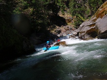
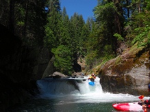
Manky Boof (IV+ to V-). Just before the end of the first mile, the river will bend right and you will see a sizeable rapid below. We ran down the left moving center. The second tier was a small ledge best run right to left to boof off the rock. At higher flows folks air out the boof off the dry center rock.
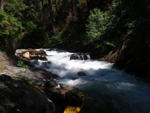
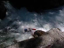
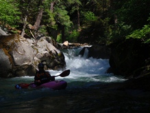
- The first gorge comes, it is class IV in nature (at low flows) to start. The river then turns left and the gorge takes on a class V feel due to the rapids linking together.
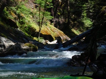
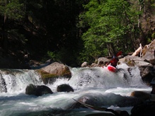
Wall Flower (IV+). The start of a stout section of rapids which I have been told is nearly the hardest of the river at higher flows starts off with a blind junky rapid. We boofed into an eddy on the right wall, then ferried out away from some junk.
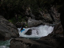
There are two or three rapids in this section which are pretty sizeable, and all feed right into the next. Soon, we went left around a log (spread out as there are rocks guarding the route) and then portaged another obvious log on the left.
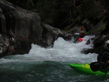
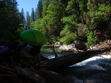
Pinch Right #1 (V-). A small lead in brings you to a small pinch that slams you against the walls... unless you sneak it like us on the far left ledge..

Pinch Right #2 (IV+). Head right, boof the entry, and drop down the right channel into the good size hole below. Below is the first rapid of the goods.
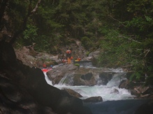
- Junky Ledge (IV+). A small lead in to a junky ledge best run down the center moving a little left. It is an easy scout from the left.
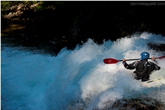
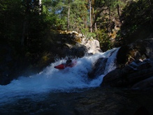
Must Run (V). A large rapid that I believe is a must run. At lower and medium flows you enter right, boof the first hole. Then drive right to boof the middle hole. Then drive center to right and boof the ledge below. Be aware there is a wall on the right that causes problems and a shelf on the left to piton. Oh and there is a log across the river just below causing danger to any swimmer. There is a long scout on the left for those wanting to look.
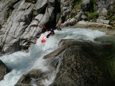
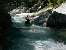
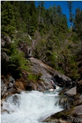
Perfect 20 (IV+). At low flows we were able to log duck on the left, but at normal flows you have to scrap down the center. Hug the center rock and drop 20 feet to the pool below.
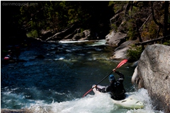
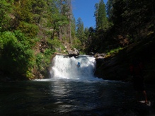
Slide to Falls (IV). As easy as it gets. Slide down to the falls, try not to over boof... Easy scout on the left.
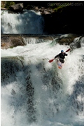
Two Smaller Ledges (IV+ to V). Two smaller ledges are just downstream. The first can be run center, the second is run far left.
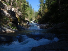
Wood (IV). A small rapid with wood very in play drove us for a very quick portage. Put in, ferry across the river and scout the next drop on the right.
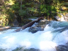
Double Drop (V-). Two drops with two kickers that for some reason are harder to hit than it would seem. Or some of us just suck. Perhaps that is it. First boof right of center, then boof center.
Junk (V). A short junky rapid is just below, folks take lunch here and usually portage the rapid which is a 10 foot walk.
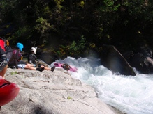
Post Lunch (IV+). A long rapid begins immediately. In the first tier of it make sure you are far left as there is a piton rock in the middle.
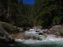
Ex-Portage (V). The drop use to be portaged, but the A-gamers have found you can boof the far right channel, and immediately eddy out in a small eddy. Then ferry out, drop the 4 foot ledge going back hard left, thread the needle between the two rocks and the eddy out on the left wall and watch the look of fear on your friends faces. Just below, head back right and boof onto the slide below. So so good.
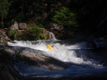
Another Slide (V-). Another slide best run driving hard right, then straighten out for the hole below. This hole laid me on my back. At low water, a few folks went more center and it worked.
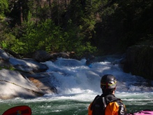
Balcony Drop (IV+). A ledge best run far left to drop onto the small balcony below. Don't go with all the water as it will slam you into the step of rock below.
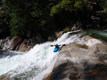
Boof to Slide (V). Boof far left, then finish either center or far left. Just below, the river really falls off the face of the earth. The center had a good hole, even with low water.
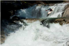
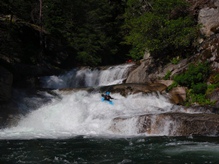
High Pressure 20 (V). Boof left of center off of the flake. Then eddy out. It is hard to portage, easy to scout though on the left. The water, even at low flow pushed directly into 99 Problems just downstream 30 feet.
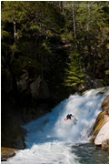
99 Problems (V+). Either drive left into the seam or drive right and boof onto the slab. Most will portage it. Several faces and ankles have been damaged on this drop. The portage is best done by lowering boats with a rope. There is then a trail that leads around the left down to a ledge below.
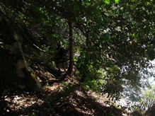
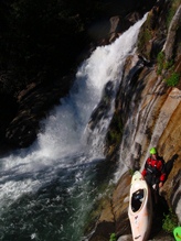
China Slide (V). Also a high pressure drop, this drop slides 15-20 feet into a fold sending boaters to China. Come back up and get to the right. At low flows it wasn't bad. At higher flows you want to point your nose left so you pop up in the eddy. Then ferry across. At really high flows the ferry is impossible so folks hike out above High Pressure 20. Whatever you do, do not go over the next horizon as it is a mandatory portage.
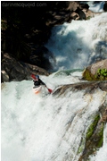
Portage (U). 100+ feet with a big, huge, ugly ledge part way down. Portage on the right, follow the ravine steeply down to the base. Seal launch in at the base and ferry off the wall below.
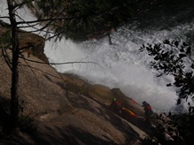
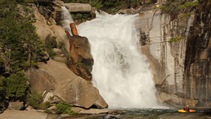
Small Slide (IV). A small slide can be run anywhere. Running right leads you to the nicest eddy to scout the 50 footer.
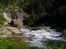
50 Footer (IV+). So it is as easy as a 50 footer can be. No move, just go slow and don't boof out. There is a tree in the middle with a small hole behind it that we lined up on. Below, the river hits a tree so be aware. It is portageable, but not super easily.
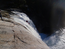
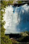
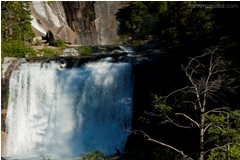
- Final 100 Feet (III). Just below the tree, ferry immediately to the right and go all the way to the shore. Do not venture down the left channel as this leads to the next unrunnable falls. On the right shore there is a micro channel. Follow this down to the ravine on the right. This is the start of the trailhead.
The Hike (V). The hike isn't the easiest to follow but there is a trail for the most part. Head up the right side of the ravine, then cross over left. Follow this a short ways, soon climb a to the top of a rocky bench. Stay on the left side of the ravine and climb steeply up the hill. The last quarter isn't as bad as the first three quarters. It climbs ~800 feet in what has to be less than a mile. It is steep. After you load your gear and begin to drive off, feel free to puke all over the side of your friends car. They will love it. Trust me.
Put-in: From Oroville, Take 162 East, be aware that in the middle of town (1.6 miles from Highway 70) you need to turn right to stay on 162. In 6.6 miles turn right on Forbestown Rd which is a major paved road. In 6.2 miles, turn left on the major paved road, Lumpkin. In 11.8 miles take the right at the large fork. It is more of a turn right on the road (Mill Rd) which is not marked, though there is a sign for Cascade right before it. It is also marked by a "Track A" sign. If you end up on a dirt road, you missed this turn. Then go 7 miles until you see a large dirt road at a fork, stay left here. Continue another 6 miles (I do not believe there were any turns, stay on the paved roads and follow signs towards Milsap Bar). You will cross Fall River, some other small Creek, and then the South Branch.
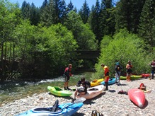
Take-out: Continue on the road another 1.3 miles. Turn left on the sharp right turn and follow the sign towards Milsap Bar. This is a dirt road. Follow this road another 2.7 miles to a large turnout on the left with the trail leading down to the river.
HTML Comment Box is loading comments...
