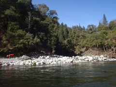
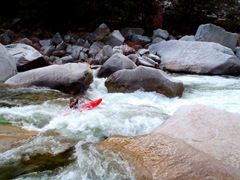
Middle Fork of the Feather River (Bald Rock)
| Stretch: | Milsap Bar to Oroville Dam |
| Difficulty: | Class V to V+ |
| Distance: | 8.5 to 22.0 miles |
| Flows: | 500-1,500 cfs (Most view 1,100 as getting very spicey). Current Dreamflows gauge |
| Gradient: | 101 fpm (150 fpm for the hard section of 2.5 miles starting at mile 2.5, max of 195 fpm from Atom Bomb through Four Deaths). |
| Put-in: | Milsap Bar Bridge |
| Take-out: | Either hike up Bean Creek 4.5 miles into the lake paddle or at Oroville Dam 15 miles across the lake |
| Shuttle: | 15.5 miles (55 minutes) or 30.8 miles (65 minutes). Some dirt road |
| Season: | Winter and Spring from rain and snow melt |
| Written: | © 2013, 2016 |
| Featured in Videos A Wet State #70 | |
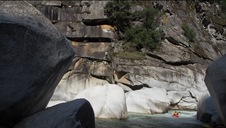
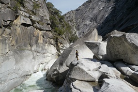
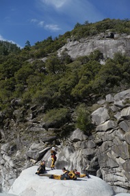
Arguably California's most famous and classic one day river run (as opposed to creeking run). This river despite its relatively low elevation contains ample enough granite to make the High Sierra blush. In the 3 mile long crux of the canyon, granite bowls drop down to the river, granite walls drive high into the sky, and granite domes protrude from hind those walls as if a beacon of all that is contained below.
This run has maintained a special place in the river hierarchy of California, along with Purdon's and Golden Gate, as rivers with top notch whitewater but severe consequence, all rightfully so. This run specifically is formed by large round granite boulders stacked steeply in the river forming many channels... and in many cases only one passable channel. Sieves are abound as are powerful hydraulics. However, if you have someone who knows the lines with you, the scouting required is reduced and the river feels like it has fewer teeth spaced further between. Unlike Golden Gate, I also feel that Bald Rock pushes you less into bad places while running the correct lines. Once in the correct channels, the river is surprisingly clean, though many times one rapid leads directly to another, so swimming in highly discouraged. So in total, I would say due to fewer of the class V+ rapids, and due to pools between rapids, Bald Rock though similar in technicality, is probably the easier of the two.
For a run that has one mile of ~200 fpm gradient but averages 110 fpm, this river seems to never stop. I still think the math may be wrong. Each drop is steep, congested, and blind. The only thing that I can see that would reduce the gradient is the pools between most rapids. And at times, flats that last a few hundred yards.
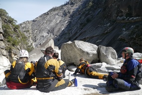
With an experienced lead for the run, we were able to complete it in 4 hours, with members portaging between 2 (two half portages included) and 6 times. I of course was on the large end of that scale, having walked a few of the munch holes near the top... not wanting to have my confidence beaten before getting to the committing rapids. With that said, it felt like nearly every significant rapid was walkable, though most require some effort up and around house sized boulders. Also, next time, I will run at least two of those portages (easy to say now while sitting in my house).
So in conclusion... if you are up to the challenge, this run is classic California. If you try the run and are not up to it, well.... don't. Also, we had 845 cfs, the first decent had some 1,500 cfs which most would consider too high these days... 1,100 to 1,200 is considered the spicey end of things these days.
Thanks to Diane Gaydos for her contribution of photos.
Mi 0: Mi 1.4:
- First Test (V). The first hard rapid is a ledge run on the far right followed by several large cushions to be run down the right.
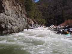
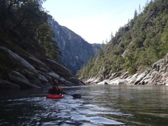
- Lt. Dangle (IV+). One move into a cushion with a severe pinch and hydraulics. Some of us walked easily on the right.
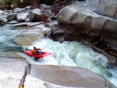
First Slides (V). The first rapid with slides is run down the right before moving quickly to the left. The first tier drops some 10 feet into a soft hole. The second slide run far left also packs a punch. Downstream is another slide rapid that we ran down the far left.
- Big Bend (V). The river has a shear wall on the left and makes a big sweeping bend to the right and then back to the left before dropping over a significant rapid. This rapid is run middle at the top, far right in the middle, and then far left at the bottom. Steep and powerful holes are throughout.
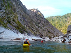
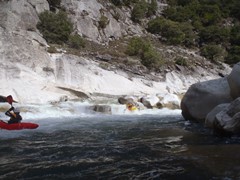
- Slides (III to IV). One read and run rapid leads you to a carved out granite bowl with several small slides. All of the slides are run down the far right. Just amazing scenery to be enjoyed right here.
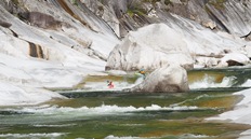
- Pre-Atom Bomb (IV+ to V). Some choose (me included) to start walking on the right rather than run a rapid with a hole that likes to surf people just before Atom Bomb. If you choose to run it, boof middle and exit right. Otherwise, portage right, seal launch back in and immediately take back out on the other side of the enormous rock.
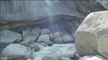
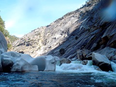
Atom Bomb (U). Portage the top on the right. Put back in in the small eddy. Ferry across the river in front of a sieve (as of 2012 the sieve is mostly plugged with wood making the ferry much, much easier). Finish the portage on the left, seal launching in below. Update 2023: Some friends went in this year and said the ferry was seriously scary. Like with 800 cfs and not wanting higher. Another set of friends went in at 1,000 and said it was sketchy... like choosing to side surf the hole to make the ferry and at least one having to finish the ferry backwards. The videos I have seen support that something changed and the ferry is harder than back when I wrote this.
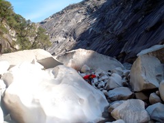
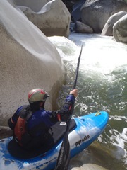
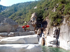
Possible Portage (V+). On the other side of the pool below Atom bomb, is a rapid that has a nasty sieve in it that many folks of swam through (on GoPro video of a friend of mine shows 5 people one after the other going into the sieve and all popping out on the other side). Others will walk from the top on the right, or run the top on the left and walking the bottom on the left. Update 2023: A few years ago this changed again and people gen running a left of center line rather than the portage or flirting with the sieve. I am sure it will change again. Be careful.
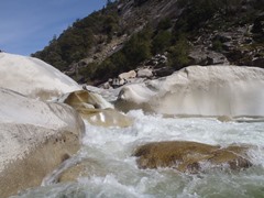 Link to AW Photo 1,
Link to AW Photo 2
Hairy Ferry (IV+). The paddle out of the portage is a small ramp on the far left that drops some 8 feet into a small eddy on the left. From there, ferry across the river into a small pinch, that flipped most of us. Stay far right in the exit. Update 2018 In 2016 it was a walk as a landslide closed down the left slide and ferry move. Now in 2018, more changes and the right is runnable. Thanks for the user input!
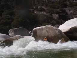
- Pre-Curtain (V-). A long rapid that starts with a steep ledge into a big hole. It looks like you will want to boof the left side of the left channel, but really the nice boof is right of center. From there, read and run it down the middle/left.
- Curtain Falls (V). Run down left of center, just to the left of the pot hole (basically as far right as you can without getting on the weird exploding water).
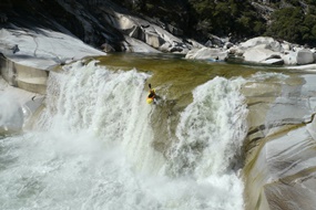
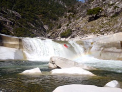
Super Slide (IV). Run far left for a class III line or far right for a line that flirts more with the large hole in the middle.
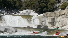
Three Doors (V+). On the other side of the pool below Curtain / Super Slide is one of the two biggest rapids of the run. Some portage the whole thing on the left (me included), others portage the top on the right and run through the bottom hole. Some run the whole thing down the middle through monster holes the whole way.
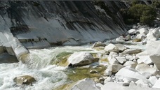
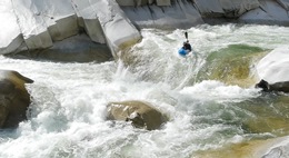 Link to AW Photo 1,
Link to AW Photo 2
- Pre-Four Deaths (IV+). A straight forward rapid run down the far left leads to a hole best run right of center. Carry speed, the hole is large and the outflow feeds directly into Four Deaths. Catch the small eddy on the left to scout.
Four Deaths (V+). Scout on the left. Some run down the right through some boulders before getting to the slide into the large hole. Others seal launch onto the slide. In 2012 there is now a rock in the landing of the seal launch that motivated some of us to portage the whole thing on the right. That is a pain in the butt...
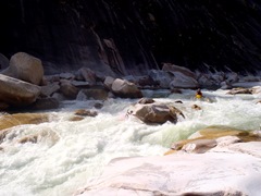
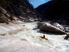
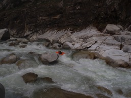
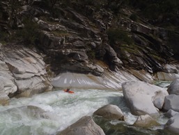
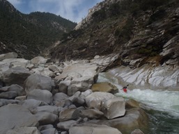
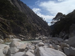
- Crotch of the Dome (V). A medium size rapid or two leads to a boulder choke. There is a small channel on the far left that leads to an eight foot drop. Best run far left, but sometimes melted on the right. It flushes out into a large pool though so just roll up below,
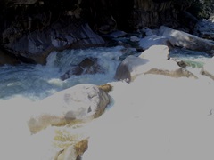 Link to AW Photo
South East Boof (IV+ to V-). A boof left of center lands you next to several large rocks that are all blind from above. Below is... something that I do not recall after my first time down... mmmm... probably a boof over a hole. Good bet at least...
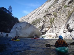
- One Last Tough Rapid (V). A few medium sized rapids leads to a ugly looking rapid that boats way better than it looks. There is a line down right of center that keeps your head dry while going over a massive hole before pinching through and exploding tight spot. Moderate walk on the right. Below is the sickest auto boof on the far right.
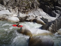
The paddle out has many class IV and IV+ rapids in it. We actually had one cluster of a rapid that ended up with a broach, a pin, a surf, an upside down run, and a swim in our group of six. Quickly the rapids step down to III to IV and you see Feather Falls far above on the left and the high water mark of the lake.
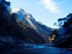
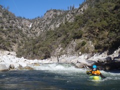
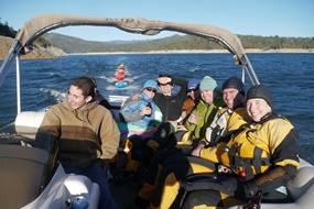
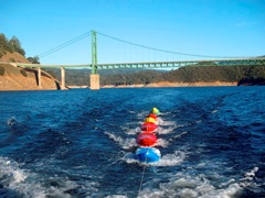
Take out: We took out at the boat ramp (with a boat shuttle of course), if you want to take out at Bean Creek consult your map. Otherwise take Highway 162 off of highway 70 in Oroville, after 1.7 miles, turn right to stay on highway 162. Ctoninue for 3.7 miles more before turning left on Canyon Drive. Stay straight when you see the dam at mile 1.6 and cross the dam to the state fee area on the far side. Of course, the shuttle driver drove our cars to take-out from put-in so we didn't even need to worry about that.
Put in: From Highway 70, take Highway 162 in Oroville into the mountains, continuing for 24.1 miles. Turn right at the small road for Bald Rock. After 0.5 miles turn left onto Milsap Bar Rd... dropping down for 9 miles on dirt road to the bridge over the river.
HTML Comment Box is loading comments...

