Middle Fork of the American River (End of the World)
| Stretch: | Interbay Dam to Oxbow Reservoir |
| Difficulty: | Class V- to V |
| Distance: | 9.8 miles |
| Flows: | ~300-800 cfs. No Gauge Currently |
| Gradient: | 130 fpm average (Miles 1 and 2 are 155 fpm, mile 8.5 is 238 fpm) |
| Put-in: | Interbay Dam |
| Take-out: | Oxbow Reservoir |
| Shuttle: | 15 miles (45 minutes one-way) |
| Season: | Rarely due to damns...Spring from Snowmelt (with that said, the moss in the river leads me to believe it runs often) |
| Written: | © 2011 |
I don't know what possessed the folks to name a Powerhouse "End of the World," but dang it makes for a good name to a run. So much better than the alternative "Interbay to Oxbow" as it would likely be known. This run is interesting, unlike the Middle Fork of the American that is commercially rafter just downstream of the Oxbow take-out, the river up here is small, the canyon very tight, and the rapids very congested. It felt like the North Fork of the Tuolumne with less willows.
There was debate amongst our group as to how difficult it was. Some of us thought that it was class V, partially due to the rapids and mostly due to consequence and solitude (there is no hiking out of this one) while others were saying folks who were comfortable on class IV+ could enjoy it. I was with the first group. The rapids are tough and most have significant hazards in play. Either the rapid was a boulder pile of nasty sharp rock that could pin you (or worse) or just beat you up if upside down or the rapid was clean but fed directly/immediately into the next rapid which again fell into one of the two categories. To add it to, although there was a several mile mellower section of class III-IV followed by a mile of class II, the run had a significant number of rapids in it. If you are stressed in this run, you are going to be exhausted. Dang, I was tired and I was having fun! The run took a group of five of us five hours. There were three other groups on the water with us. One of the groups of two, both pro boaters, finished in a blinding two and a half hours. Another group ahead of us also finished in an impressive three and a half hours. I think most groups would be on the five hours or more. The group behind us took approximately five and a half hours. On a side note, it was interesting how international the day was... 4 Slovenians, 1 Kiwi, 1 German, and 1 Latvian. That and three out of state-ers left only a limited number of "local" boaters being present.
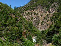
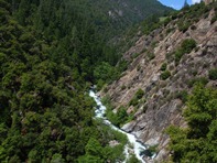
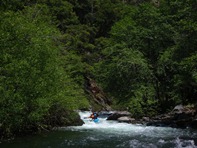
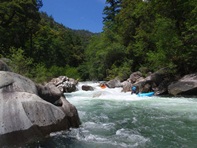
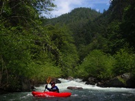
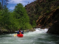
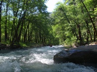
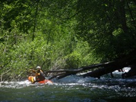
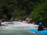
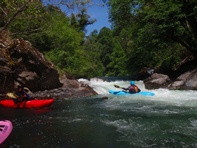
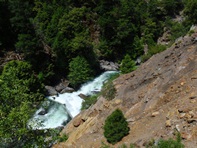
So, let's start with the positive. The scenery is superb. The tall forest canyon rises around you with scenic creeks splashing down the cliff faces. The water is crystal clear with a sparkle of turquoise that please your senses as it falls down the rapids. The rapids for the most park of unique character though the routine of rocks placed in bad places does get old. Though several of the rapids are as good as it gets, nice clear lines with fluffy holes and fun boofs. The downside of the run is the last quarter-mile of the rapids. After some fun class IV+ to V- you get to a sizeable class V that we all ran, this leads immediately into a scout with dangerous sieve/undercut in play. This immediately leads to a cascade which I am not sure has ever been run. A tall drop with a large undercut/sieve and hole I think this drop goes but needs a probe unit to prove so, and several capable probe units have walked it. This then leaves to a ledge that is not always run, which then leads to a class IV+/V- lead in to a normally walked drop that packs a powerful hole, very large uncut, and a cave behind the falls. The problem with the lead in is that you have to catch a very large eddy with a very small entrance at the lip of the falls. Although the eddy is 20 feet wide, the entrance is only 5 feet wide. It is wise to station someone at the entrance to catch people. I know of a few people who have made the eddy only because someone was there to pull them in. So, although there are no portages up to the final gorge, there are at least two, possibly 4 in the last quarter mile. To boot, the portages are in vine and poison oak infested areas that make for a major pain both real-time and down the line (itching as I type this).
So, is this run doing? Yes. Will I hurry back? Probably not. Will I ever go back? Most Likely. Also, for the record, we had ~450 cfs at put-in and 575 cfs at the take-out.
Thanks to Darin McQuoid and Jonas Grunewald for sharing photos.
Mi 0:
- Possible Portage (IV+ to V). On the very first left bend is a challenging rapid that is walked at low flows. At our medium flows there was just enough water to get through the pinch, though I pinned briefly. Just downstream is a fun boogie rapid leading to a good size drop easily boofed on the far right.
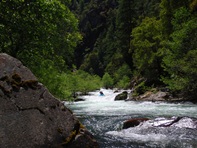
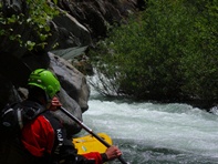
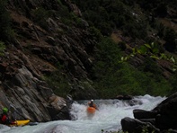
Boogie (III to IV+). Just downsteam the river enters a long fun section of boogie. From there, the boggie gets a little easier leading up to the next sizable drop.
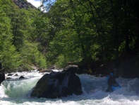
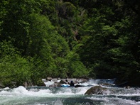
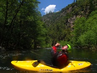
- Reach in and Find the Surprise (V). A big three part drop, one of the hardest rapids on the run (that you will likely run). The top part is scoutable on the left and consists of a double drop. Boof the center and then the right. The middle move is the hard part that half of our group walked. Boof center into the large hole and get left, but avoid the tree. If you go center over the next ledge there is a horrible sharp piton rock. From there, 100 yards of class IV-IV+ boogie leads to another ledge best boofed center.
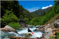
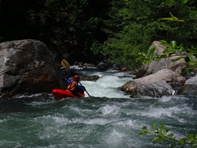
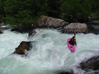
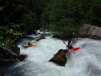
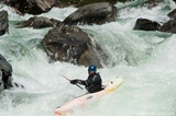
Boogie (III to IV+). More boogie, one rapid in particular has a sieve very much in play on the left. All but one of us went to the right but one person was pushed almost into the sieve.
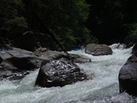
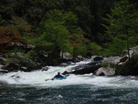
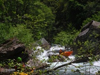
- Pre-Big Mosquito Creek (IV+ to V-). Easily scoutable from the right. A ledge drop that can be run in several locations leads to a hole dodge that leads to a powerful ledge. The hole was smallest on the far right.
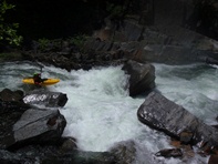
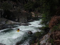
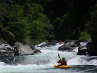
Post-Big Mosquito Creek (IV+). Just below, the river bends sharply left. Two drops with two holes await. Run far right and straighten out for the second drop.
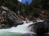
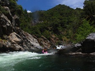
- These miles go from class III with occasional IV to class II with occasional III. Then you notice the walls rising around you again and you know you are nearing the final gorge. You will come to progressively harder rapids, a double ledge, some tree dodging, and S-turn with a shear wall on the right, and then you are there.
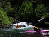
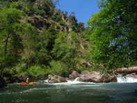
- Just a Hole (IV+). Boof the large hole and then get through the run-out. The hole is big. But the drop is steep so it isn't too bad to clear past.
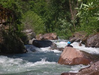
Raise Your Knee (IV+ to V-). Drive far right, slide down the right wall, stay balance as you slam the reactionary on the left wall, then avoid the rock immediately downstream and boof the bottom hole.
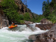
Mega Boof (IV). Boofs don't come this good very often. Calm water accelerates you to a sweet launch off the left side of the center channel.
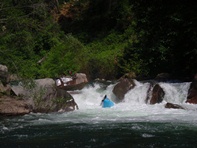
East Boogie (IV+). This is the last of the fun section in my mind before it gets big. We slid down the left channel and punched a few holes.
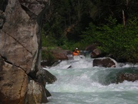
"Kinda" (V). Jonas and Darin entered far right in the pinch (boof the wall, or you totally pinch off as I found out) and then ran down a ramp dodging a few holes and eddied out. As I dropped in I saw them pointing left so I went further left and saw I was not going to have a chance in hell to catch their eddy. I call out, "does the rest go?" To which Darin responded, "kinda." Downstream lay two large holes. Best run far left. Eddy out immediately and scout on the left.
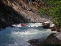
Ramp (V). A large ramp in the right channel pushes you to a bad undercut and sieve combo. I portaged with Dan while the rest fired her up. All braced through the bottom and cleared the danger. 50 feet downriver is a portage, swimming here would be bad, so set safety.
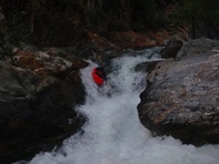
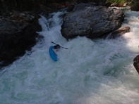
A Bigger Ramp (V+). A large steep ramp with an undercut/sieve combo on the right and a large hole at the base. I am not sure this has been run.
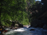
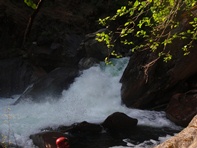
In Between Ledge (IV+ to V). A large ledge is just downstream. Two channels are present, at medium to high water the right channel looked a little too frowny, and the right had a rock in the landing. It can be fun to the left of the rock near the undercut or in the right channel. Below is some boogie leading to the entry of another common portage.
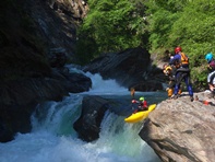
Portage Lead-in (IV+ to V-). If it weren't for the ledge downstream this rapid wouldn't be as bad. Scout for sure. Set safety in the eddy below. Some ran left and bashed rocks, nearly flipped and nearly missed the eddy on the left. One ran left and based rocks but caught the eddy easier. I think I would run right. But I would prefer to portage with some effort and some poison oak on the left.
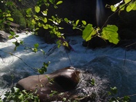
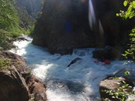
Possible Portage (V+). It goes, and it goes not even that hard. But if you mess it up, it is bad. A very undercut wall on the right and a cave behind the falls this rapid would be very dangerous to swim. Therefore, it is almost always walked. You can launch in from the rock forming the falls on the left.
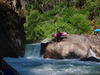
Ledge (IV+). A 6 or 7 foot ledge scrapped over right of center leads into some active boogie for 100 yards before the river mellows up for the remaining 0.4 miles to take-out.
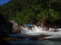
Take-out: From Auburn, take Foresthill Rd 16.7 miles. Turn right on Mosquito Ridge Road. In 11 miles turn right towards Oxbow Powerhouse. Stay left and follow down to the parking area before the bridge over the river.
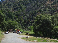
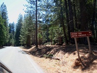
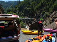
Put-in: Head back to Mosquito Ridge Rd and continue another 9.4 miles. At the sign, turn right toward the Interbay Dam. Follow this road down into the canyon for 4.4 miles to put-in. We put-in down a trail in the upper turnout. It was steep near the end and we lowered out boats. It was only a 100 yard walk.
HTML Comment Box is loading comments...
