Riu de Lladore (Boavi)
| Stretch: | Powerhouse to Tavascan |
| Difficulty: | Class V |
| Distance: | 2.65 or 5.25 km |
| Flows: | No gauge. 250-400 cfs? |
| Gradient: | 322 fpm then 165 for the lower |
| Put-in: | Powerhouse |
| Take-out: | Access just above the town of Tavascan |
| Shuttle: | 5.2 km all on ok dirt road, 15 minutes one way |
| Season: | Spring from heavy rain or heavy snowmelt (needs dam to spill) |
| Written: | © 2018 |
| Featured in A Wet State #138 | |
Pyrenees 2018 - Day 6:
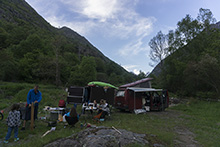
Arriving the night before we found a few surprising things. 1) the lower Palomeras was running which hardly ever happens as it is below a dam and 2) the Boavi had water. We decided to scout the Boavi a bit that night. I found the final slide and found it with plenty of water. So we poached some camping in the town at take-out and went to sleep.
Waking up we found the water lower. Tentatively we thought we would get perhaps two sections this day. I think we under sold the Boavi, the number of rapids on it, and how long they would take to scout. But we decided to start with it, as we were told that it was the best section of river in Sort.
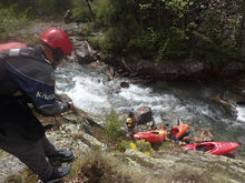
Once on the water, we figured out that we had low water. Honestly, I was ok with this since none of us knew it. It meant that the eddies were plentiful. But a few junky rapids were junkier for sure. At put-in, while climbing down to the river, a rock broke loose and fell. Diane managed to jump out of the way, but her paddle ended up breaking the rocks fall. No more paddle for Diane, time to use a breakdown for the rest of the trip.
A few portages littered this run due to junk, due to crack drops, and for us there was also one due to magnitude. But in between, there were several classic and awesome drops. Many will require scouting. I think we were on the water for maybe 2.5 hrs or so. There is also an optional take-out half way which cuts off the final gorge. Diane and I took out there. Harry and Reiner continued on. They said it was a bigger river, and contained a few more portages which required seal launches. But said it was overall fun.
This run was good. Not necessarily the cleanest geology, but there were fun small rapids, fun medium rapids, and a few standout large rapids. I can imagine once you know it, as the water level goes up, it gets better and better once the rock is more padded.
And a note on the name. Boavi is the name of the plateau that the river's source is on. The river on googlemaps is called Lladore. It is sometimes referred either way. But for kayakers, it is referred to as the Boavi.
That night, we decided rather than sticking around this region, to move onto the next region. So we headed off driving up and over a beautiful pass to camp at the Ribagorçana waterfall that night, in hopes of running it in the morning.
Previous: Pyrenees 2018 - Day 5 Afternoon: Noguera Pallaresa (Congost de Collegats)
Next: Pyrenees 2018 - Day 7 Morning: Noguera Ribagorcana
Km 0.1:
- Small Slide (III+). Just below put in is a small slide that we ran center moving right.
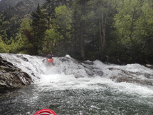
S-Turn (IV). Just below that is a multi-tiered rapid. We ran down the middle of the first two holes and then the narrow rapid makes a right hand turn which we took right, and then left hand which we moved left for.
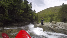
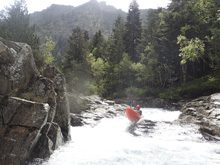
Slot Boof (IV-). A small boof was hard to hit well at our low water and we melted off into the crack. It went fine though. More water would help.
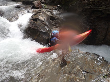
- Junk Portage (U). We got out to scout on the right and found a portage around a junky unrunnable drop.
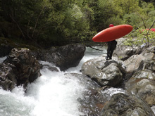
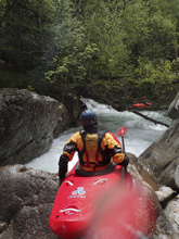
- Crack Portage (V). Runnable but a narrow crack into a good size hydraulic with an undercut on the right. It wasn't for us. So we boogied down the far right into an eddy at the lip. We then did a big seal launch.
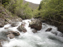
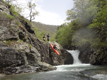
Slab Boof (V). Immediately downstream was another scout. Scout left. Only Diane and I wanted to run this one as the middle teir was maybe 8-10 feet tall and landed on a slab. But it was like stuff we do in the South East all the time so we decided to go and let the bow drop to take the impact. The first tier is a slopping hole that we drove down the middle for. The second tier was boofing the right side onto the slab, and the exit was a small ledge that could be run anywhere. The very next rapid is actually maybe just the exit of this, and should be run in the far right small channel as the left side has a hidden large rock just over the horizon.
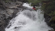
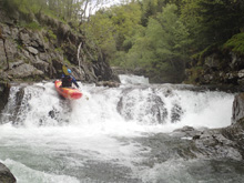
- First Slide (V- to V). Scout either side. Safety is best from river right. The beginning is a slide that is mellow enough, it then lands and moves you right to the right wall. This then sends you with left momentum over the exit ledge which is not preferred. Ideally you have a little right momentum. Careful for the wall below as it is a small undercut.
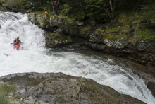
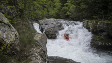
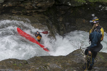
Small Falls (IV). A small ledge is best run right of center. It is worth looking at as there are some weird features on the lead in, though not hard. The falls itself is maybe 10 feet tall.
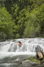
- Second Slide (V). Only Diane wanted to run this drop. It was a slide that lands in a hip check and crack. She then eddied out to say the line was good to Reiner who was still thinking about it. She didn't realize she was flushing out of the eddy and by the time she did and went to turn downriver, instead she broached against the walls and pinned just above the small exit ledge. Luckily she was stable, Harry got a rope on her immediately and Reiner and I downclimbed to unwedge her.
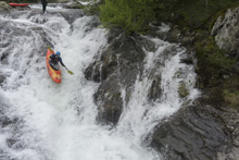
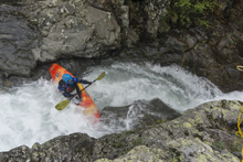
- Boogie (III to IV). In the next couple hundred yards, you get some mellower stuff. There is a nice set of small ledges that leads to a small but good to go crack drop just before a small bridge.
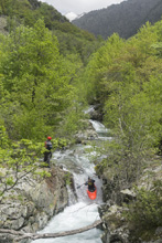
Boogie (U). Just downstream of the bridge is a crappy little rapid as the river splits around an island. The left side had an elbow bashing crack and the left side had wood. No good lines so we walked easily on the right and seal launched back in.
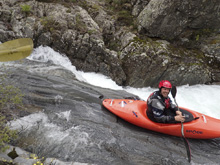
- Multi Tiered Falls (V). You get to this rapid and it is obvious it is a big one, the scout is on the left. The first tier is a ledge that can be run far right. This though doesn't set you up super nice for the middle tier which is best run down the middle. The exit is a 15 foot falls which is cleanest down the far right, though the far left goes, just be careful for the large undercut on the left below.
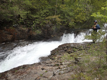
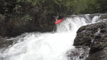
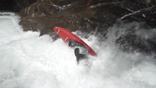
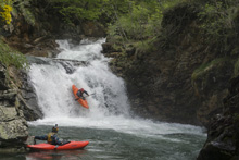
- Limbo (V+). The biggest rapid on the run, and I have seen pics of people running it. The entrance is a crack drop with powerful hole followed by a fanning of the river. You would want to get far left to exit safely. The middle channel would likely result in bruises at a minimum. We all walked on the left, and put back in at the lip of the next drop.
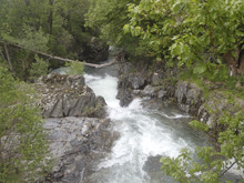
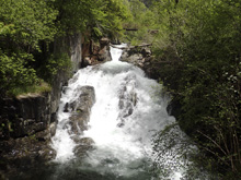
Melt Falls (IV+). This is a pool to pool non-vertical drop. We all plugged. I plugged and then flipped and got sideways in it. Luckily I rolled up and paddled away. Just run it down the middle.
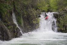
Boogie (III). Downstream is a small boogie rapid that you want to eddy out right at the bottom of rather than entering the first of the bedrock drops below.
- Final Slide (V). The final big slide is three part. The entrance is a small slot that you run left to right. There is then an eddy on the right. The next two blend together, but the entrance we ran right of center, on the left side of the main channel, riding the rock to boof into the hole below. This then lands in a moment of calm as you approach the exit slide which you want to run right of center moving back center to straighten up and boof the hole at the exit.
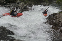
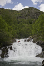
- Optional Take-out: All the classic drops are above, so this is commonly used as take-out. Diane and I took out here. Harry and Reiner continued on.
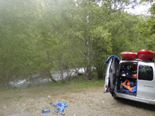
Boogie (II to III). The next bit is along the road and mellow.
- Final Gorge (IV to IV+). They said they portaged two more, one right near the end. They also said the river felt bigger and cleaner down here. A couple bigger hydraulics were maneuvered. From the last rapid (which they portaged at 5.05 km) to take out is just 0.2 km.
Take-out: The lower take-out is in the town of Tavascan, just upriver of town (staying on the low road, not the one that climbs up to the left, that goes to the Palomeras. It is 34 km North of Sort, note that in Llavorsi, take a right off of C-13 and onto L-504 to continue up the correct valley.
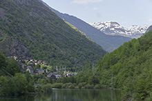
The upper take-out is 2.5 km up the road that climbs the river. It turns to dirt immediately so the driving is a little slow. Look for a dirt road which drops down to a bridge over the river. This is the same direction as put-in.
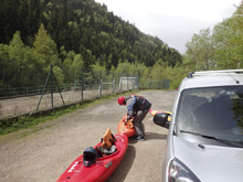
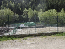
Put-in: From the lower take-out, heads towards the upper take-out and just continue on the main road up the river right side for a total of 5.2 km to the powerhouse. We put in below the cascade at the base of the powerhouse.
HTML Comment Box is loading comments...
