Little Tennessee River (Above Fontana)
| Stretch: | Needmore Rd to US-74 |
| Difficulty: | Class I to II (III) |
| Distance: | 8.35 miles (including up to 1.9 miles of lake pending lake level) |
| Flows: | 1,000 to ?,000 cfs. See the USGS gauge gauge. |
| Gradient: | 17 fpm average |
| Put-in: | Access on Needmore Rd near Rattlesnake Creek |
| Take-out: | US-74 Bridge |
| Shuttle: | 7.6 miles (15 minutes one way) |
| Season: | Fall, Winter, and Spring from rain |
| Written: | © 2019 |
Waking up in Sylva after John's wedding, we had a slow morning at our Airbnb as we nursed our slight hangovers. The plan was originally to boat this section of the river with Cassie, however, due to recent stitches, she was out of action for water sports. But, since neither Jim, Diane nor I had done this run, the plan stuck and we went anyways.
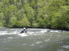
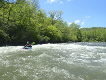
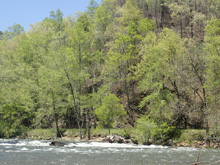
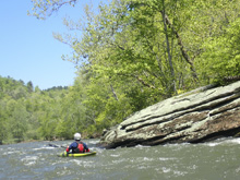
The runs is pretty mellow, with a few ledgy drops that might give first timers some issues just due to the stair step nature of the rock, and shallowness if you get out of the deeper channels. Two rapids stood out in the top section. Below where Needmore Rd pulls away from the river, there are two more rapids before you hit the lake. When the lake is lower, during the winter, there is one more final rapid which also just happens to be the biggest on the run. Sadly for us, the rapid was under water, and we had a long lake paddle.
Of all the class IIish runs we have done this week, Clear Creek Barnett to Jett to Lily, Emory Canyon, Oconaluftee, Tuck Gorge, and this, I would say this one was the most forgettable. While the river was pretty... it just didn't offer enough whitewater to make us feel like we had a good paddle. Though, if you are a beginner, not wanting much whitewater, perhaps that would be perfect.
Finally, a note about take-out. If the lake is high... seriously, there is no reason to continue past the Sawmill Creek access. There is one more small rapid, and then a long lake paddle. And actually, if the lake is full, the next rapid is underwater too. So do yourself a shuttle, sure it makes the shuttle a few minutes longer, but use the Sawmill Creek access point. If the lake is low, and you are up to a class III rapid, then continue to the highway bridge.
For reference, we had 1,900 cfs which I think is likely an ideal flow for novice paddlers. Lower would get boney quickly as the river is very wide and spread out, and the ledgey nature of some of the rapids could develop some spice at medium flows. Though I also bet at high flows rapids wash out.
Mi 0.0:
- Rattlesnake Creek Access. There are A LOT of access points. This one seems to make sense. I didn't see lables anywhere but it is where the map says Rattlesnake Creek enters.
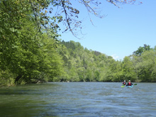
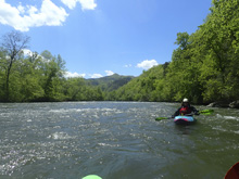
- Footbridge Island (II-). After a few small riffles, we got to an island where the river split. There was a nice surf wave at the top of the left channel. A footbridge was at the end of the channel. This is also a potential access point.
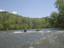
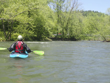
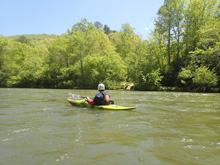
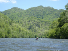
- First Shoals (II). Finally, things pick up! This is the first of the bigger rapids on the run. It is steeper than all previous drops as the river steps down several shoals. Follow the deep channels, we went more or less, left of center. We also surfed some of the ledges and had a good time. It is shallow though, so I could see this being a challenging rapid for a novice.
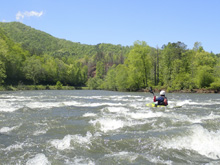
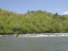
- Right or Left (II to II+). The biggest rapid besides The Narrows. The river splits into deeper channels on the far left and right, with shallow shoals in the center. Left went but ended super rocky, I wouldn't recommend it for a novice. Far right was great, there was a small hole if you drifted left in the channel over there, so stay right for the easy experience.
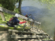
- Painter Branch Access. If you are bike shuttling, I would use this take-out as Needmore Rd pulls away downstream.
- Long Shoals (II- to II). A long two part rapid. The top part can be run right or left in deeper channels. The river then bends right and there are deep channels right and center. A nice surf wave appears in the center at the bottom, with eddy access, at some flows.
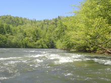
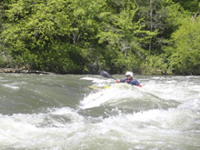
- Sawmill Creek Shoals (II to II+). Just before a footbridge is a nice rapid. We followed deep water left of center. From below, it looked like far right might have more spice to it... but it was too late for us to go explore over there.
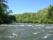
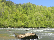
- Sawmill Creek Access. If the lake is high, do yourself a favor and take-out here. At most you have one rapid left and then a lake paddle.
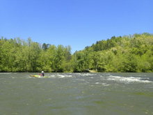
- Highwater Shoals (II). Our last rapid was just under the lake high water mark, meaning the rapid could be flooded if the lake is at full capacity. For us, it was a fine rapid with several lines, mainly down the right, which put you through a nice small wave hole.
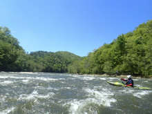
Lake Shoals (?). It was underwater for us, but the google earth views show some nice small shoals which fill the space from the Highwater Shoals to The Narrows. They appears to be class II.
- The Narrows (III). The biggest rapid on the run, we didn't get to run it as it was completely under water. Apparently it is a right moving center line through a wave and a small hole. Apparently it is also fantastic surfing.
Lake (0). So, at some point, the lake will start and you will paddle the flats.
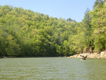
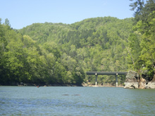
Sawmill Creek Take-out: From the main Bryson City exit, take US-74 west for 4.9 miles. Turn left onto NC-28S and follow this for 1.0 miles before turning right onto Lower Sawmill Creek Rd. Follow this 0.8 miles down to the river.

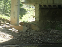
Lake Take-out: From the main Bryson City exit, take US-74 west for 6.1 miles. Just after you cross the lake, park on the left. There is a "path" up the upstream, river left, side of the lake.
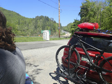
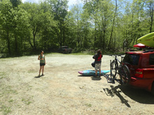
Put-in: From the lake crossing, continue 2.0 miles further on US-74 west (away from Bryson City). Turn left on Needmore Rd and follow this for 5.6 miles to the access near Rattlesnake Creek. You will pass other access points while driving up.
HTML Comment Box is loading comments...
