
Little River (Suicide and Upper 2)
| Stretch: | Highway 35 to Eberhart Point |
| Difficulty: | Suicide: Class IV to V Upper Two: Class IV (IV+) |
| Distance: | 6.0 miles |
| Flows: | 500-3,500+ cfs Current AWA gauge |
| Gradient: | 69 fpm average (Mile 0-1.5 (Suicide crux) is 126 fpm and Mile 3.1 to 5.4 (Upper Two crux) is 47 fpm |
| Put-in: | Kelsey Trail |
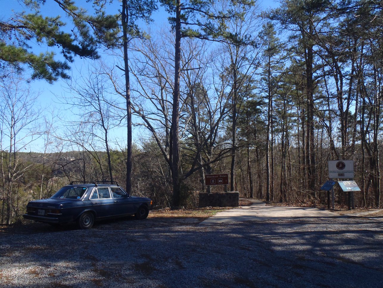
| Take-out: | Eberhart Point on Little River Canyon Parkway |
| Shuttle: | 7.0 miles (15 minutes one way) |
| Season: | Winter and Spring off of Rain |
| Written: | © 2012 & 2017 |
| Featured in Video A Wet State #57 and A Wet State #127 | |
The final day of my business trip, with Cain Creek / North Chick and Rock Creek behind me, we looked for a run that might be on my way to Huntsville as well as one having water now four days after the last rain fall. The Little River worked out perfectly for both of these. The Little tends to hold water from the start of the season until the end of the rain.
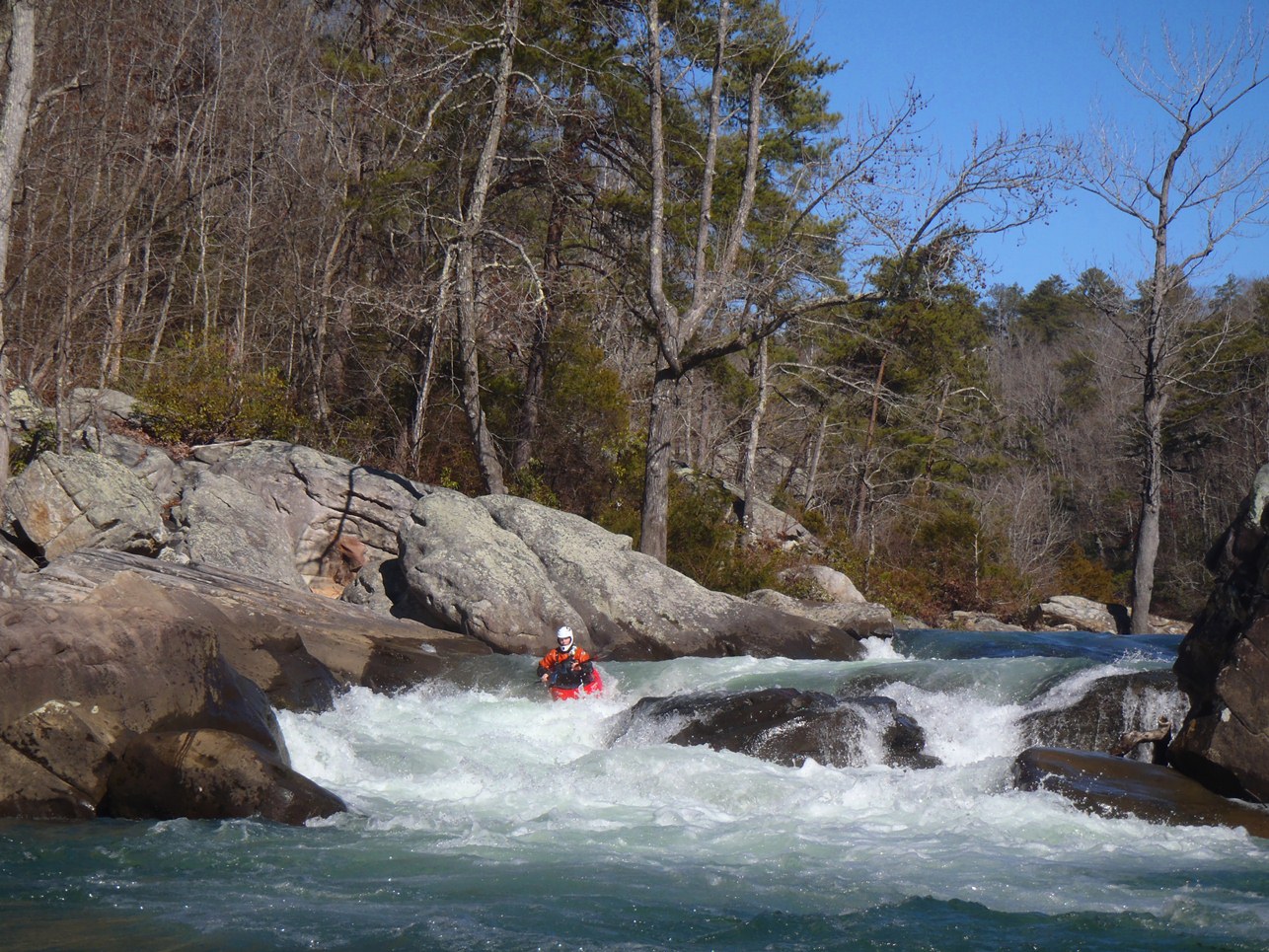
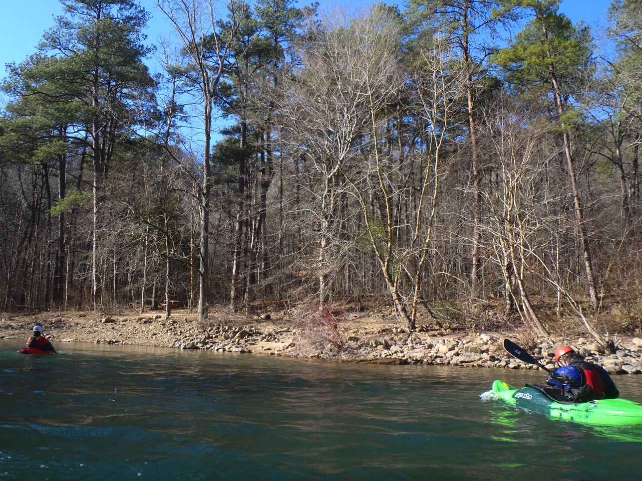
A few distinct runs exist on the river, the upper most was coined as "The Suicide Run" by the first boaters who ran the river. These days it is known to be less dangerous (or at least no more dangerous than many other sieve filled rivers) but alas the name stuck. This section is fairly short and leads to a few miles of mellow water where the "Upper 2" run begins. Contained in the Upper 2 are difficult and dangerous rapids but make for a great addition to extend the Suicide run.
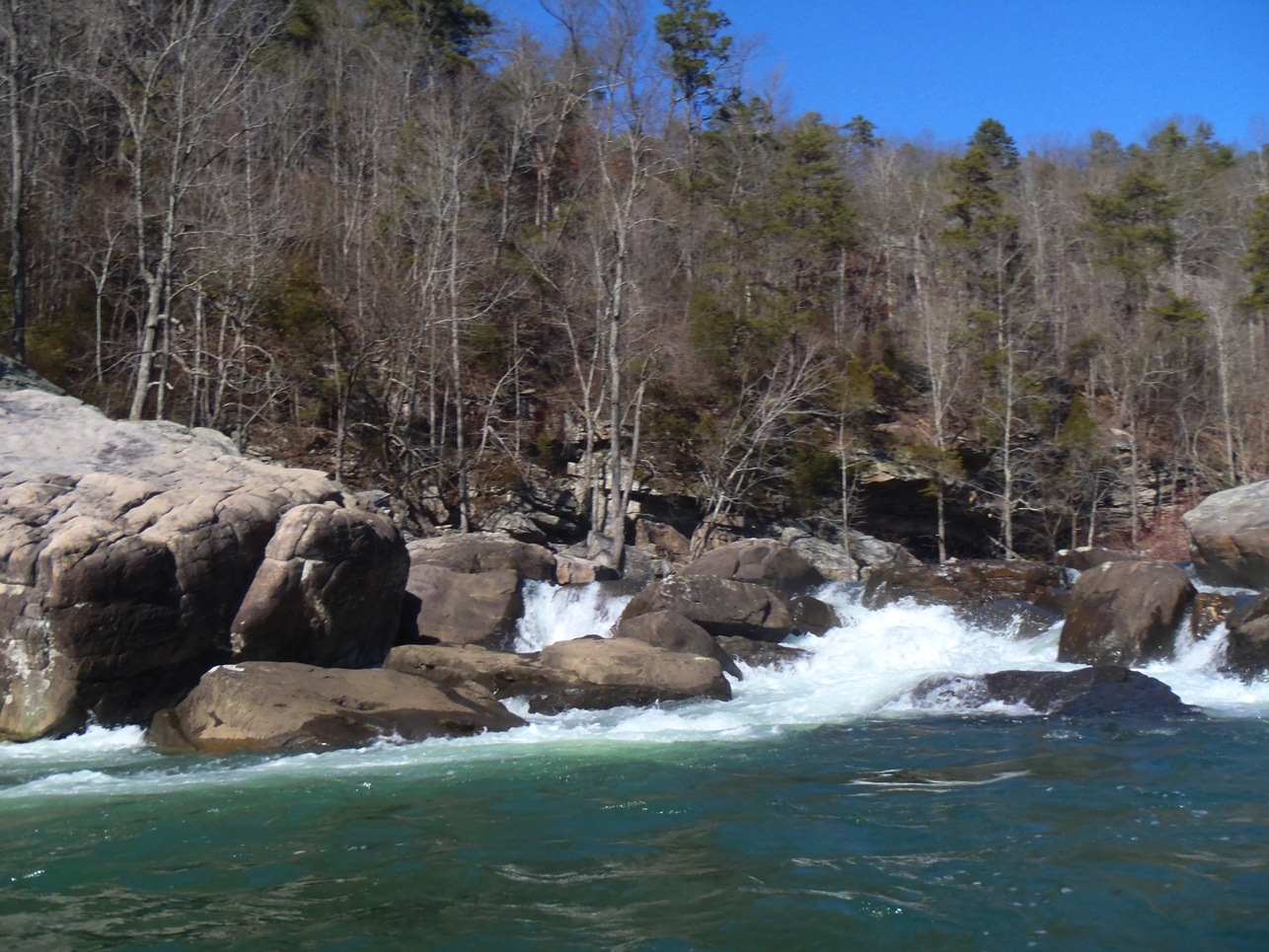
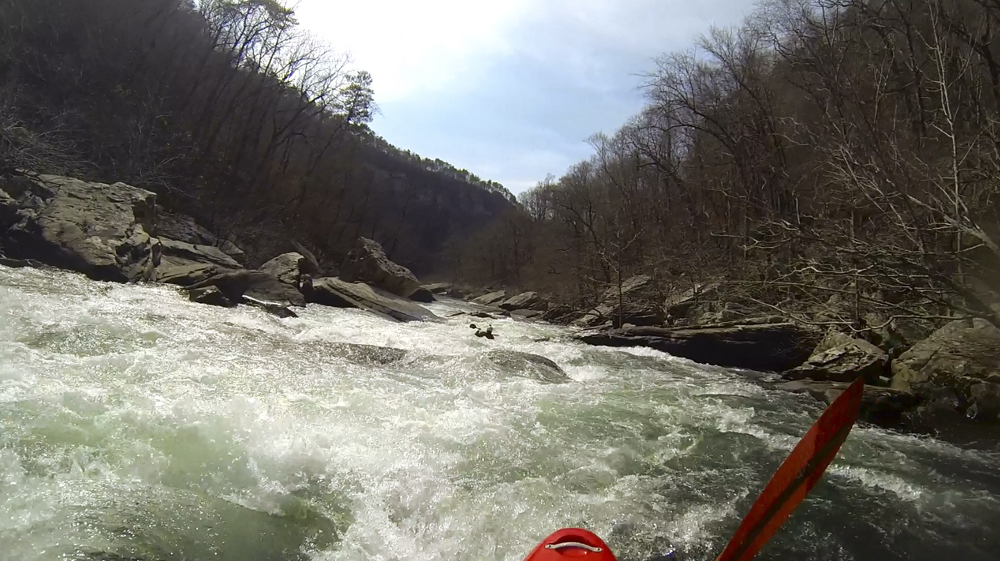
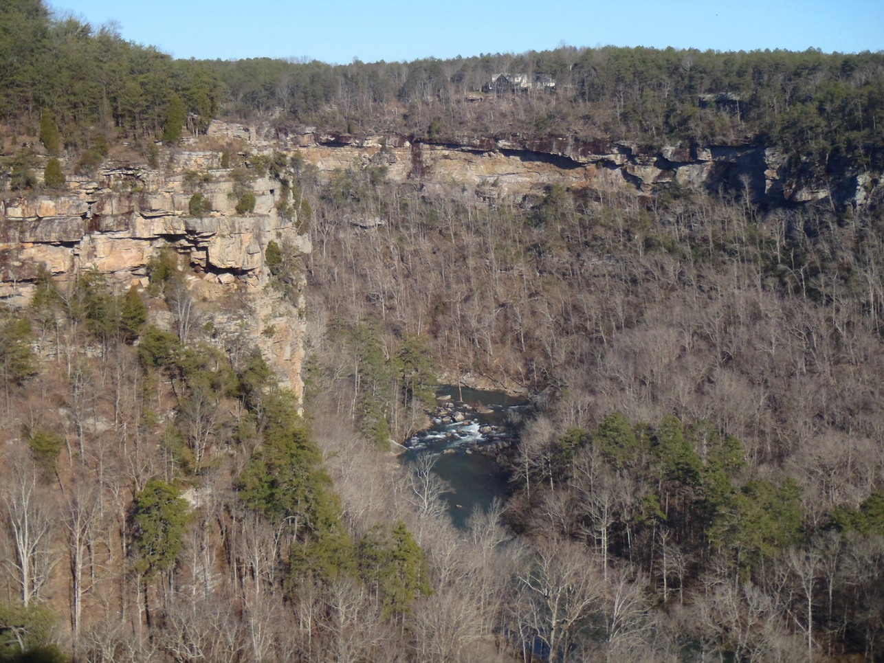
Other than the put-in falls, the highlight of the run in my mind is the scenery. Tall cliffed out canyon walls keep you locked in to the run for nearly its entirety. I can only imagine how special this place looks in the fall when the colors are changing on the trees.
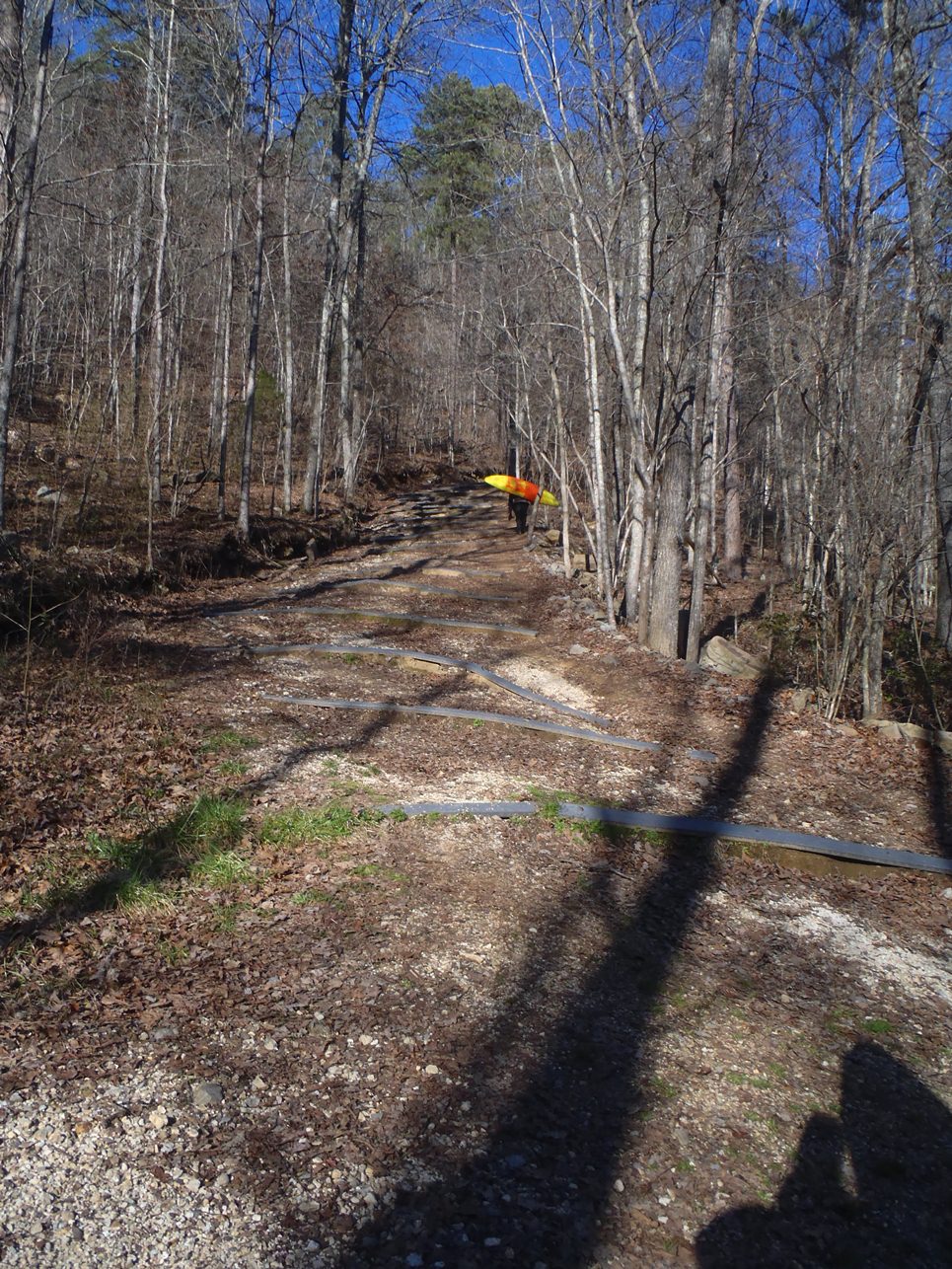
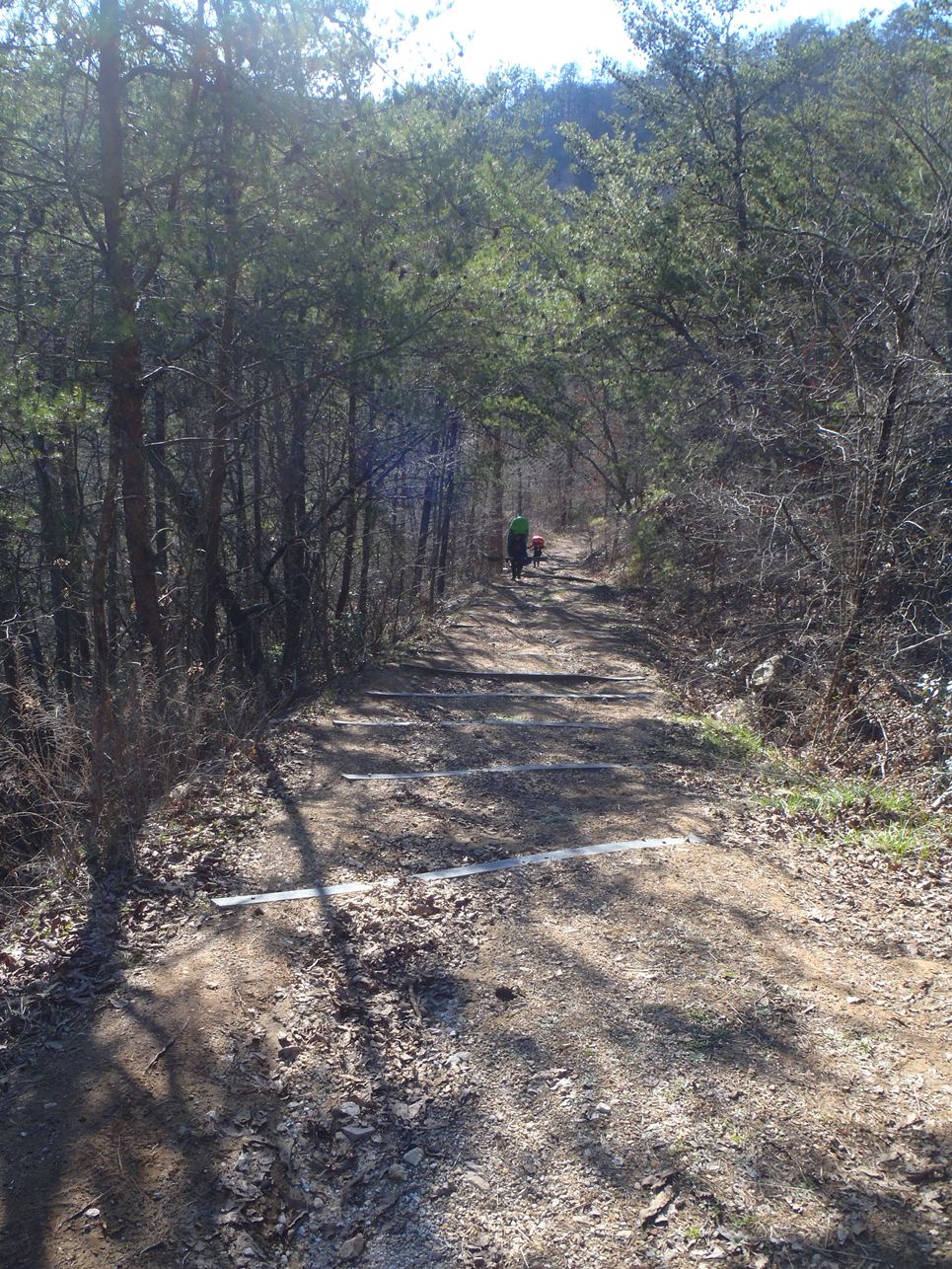
The only downside to this run that I can think of, is the hike out. The hike climbs steeply up probably no more than a third of a mile, but the trail steep and unrelenting. For a California comparison, I would say it is similar in length and difficulty as the burnt Ranch hike, but the BRG has lulls where you can catch your breath. The Little River Canyon (LRC) has no such lulls. But is it worth doing? Yes, very much so!
Thanks to Daniel Rucker for his contribution of photos...
Update 2017: Now that I live in the SE, I had the chance to do this run again. I got additional beta and also just write much more detail into the mile-by-mile so I took the opportunity to add a lot more to the content below. Also, I now know lots of people skip the Suicide section and put in at the Upper Two, so I am linking the two separately on the database pages, but for convenience, I am keeping the write-up as one.
Mi 0.0:
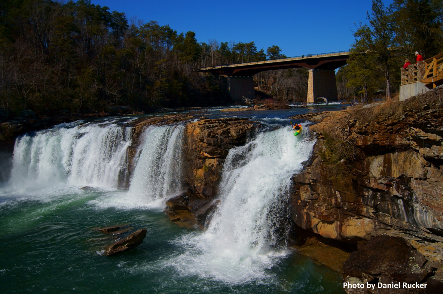
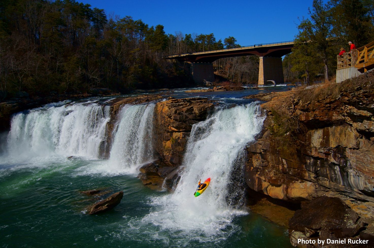
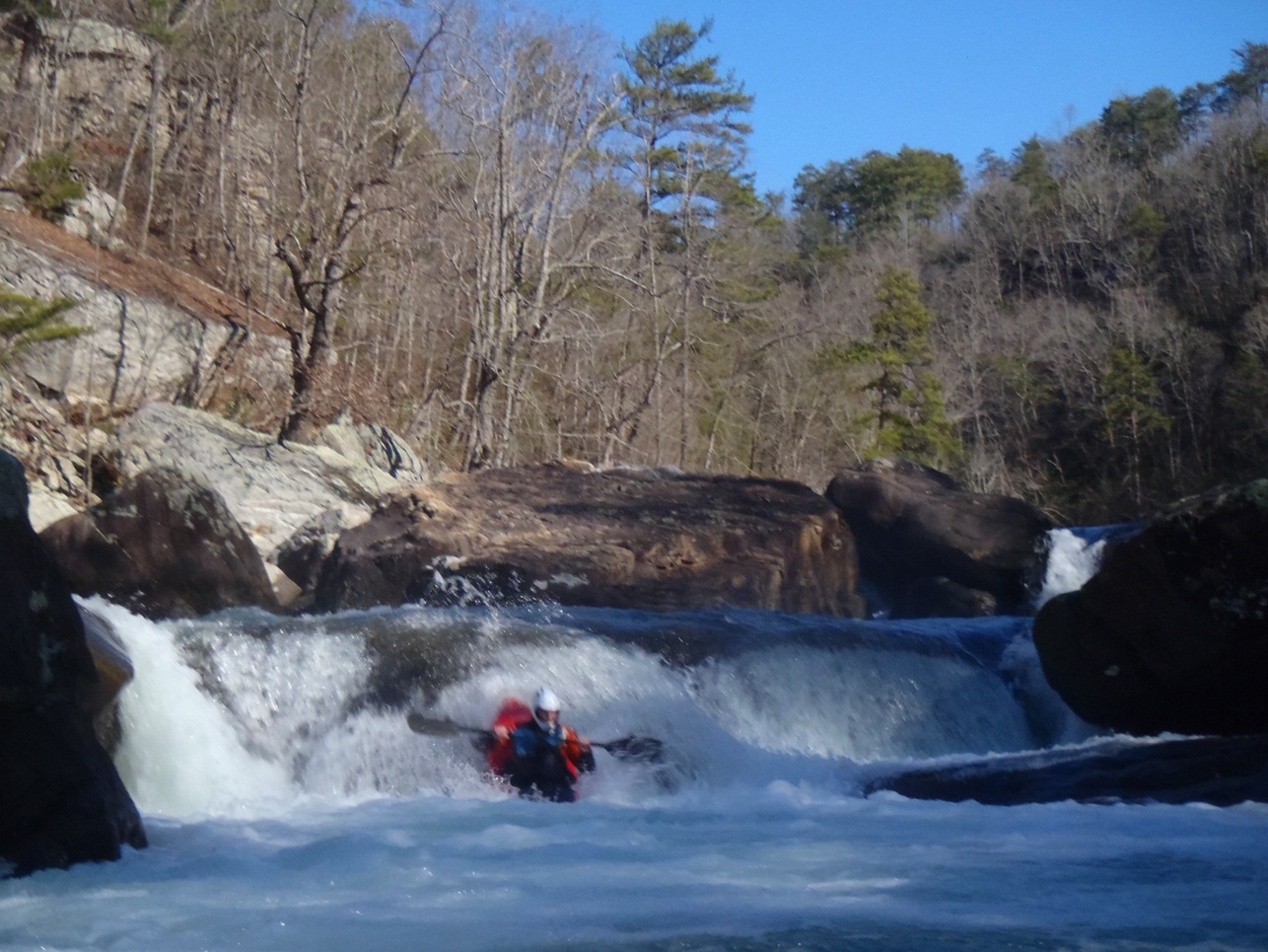
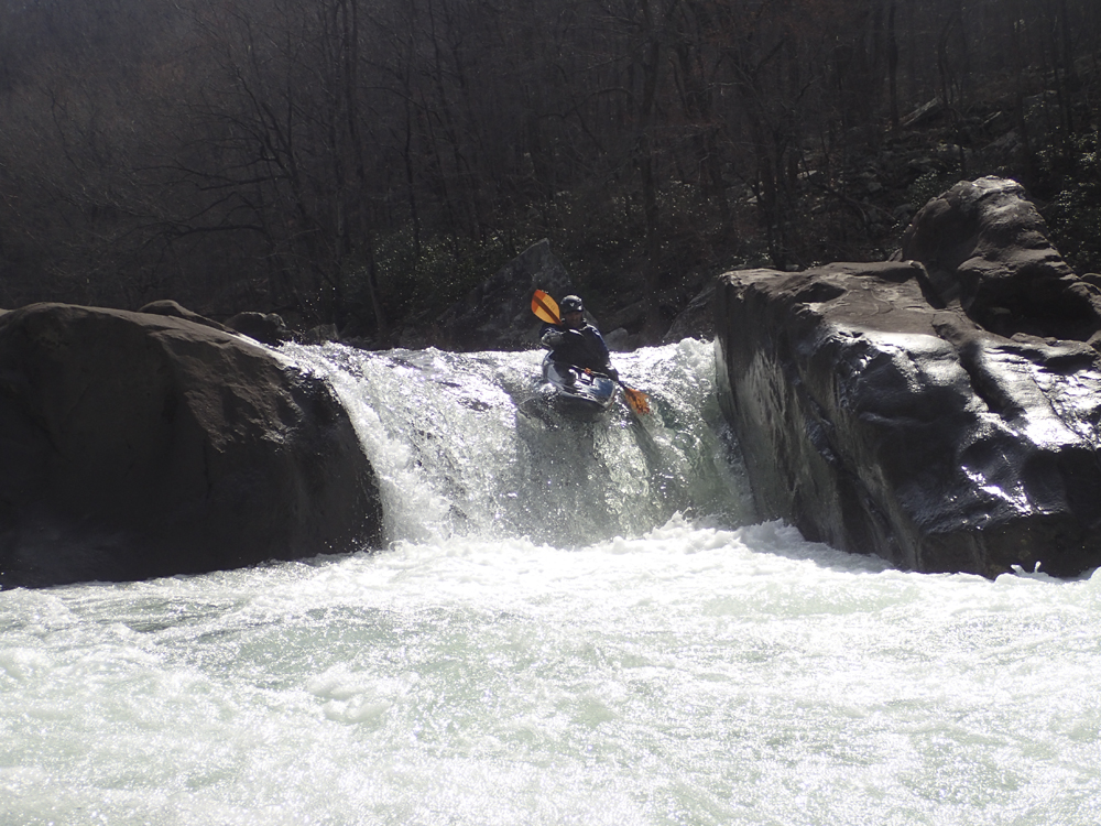
- Falls (V). The put-in falls are normally run down the far left. However a shallow shelf after the first tier that contains pin spots and pin potential keeps many from running it and has caused several severe injuries. When water is up, some folks run the center line. I also have heard the right line being run but lands on an obvious shelf so I would think you need more water for that to be an option.
- Alternate Put-in on river right if you are not going to run the falls.
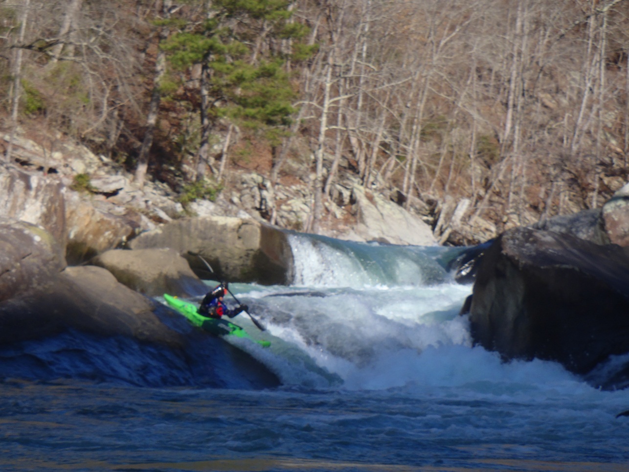
- Blue Hole (III-). After a quarter mile of warm up, a river wide ledge best run on the right marks the start of the goods. Apparently there is a another rapid just after this that I don't remember... apparently it is a boulder garden.
- Mammoth rock (III+ to IV). The first rapid you come to below Blue Hole. This rapid is super junky on the main line which is down the left cutting right in front of a sieves out house sized rock. In 2017 there was wood there so we went down a side channel on the right which was fun and clear.
Terminal Eddy (IV- to IV+). A fun rapid best run down the right. Just be careful at the bottom as it pushed to the left where there is a sieve. At lower flows apparently it closes out more and pushes into the undercut.
- Avalanche (IV to IV+). We snuck this boulder mess down the far left. As flows get really low the line is down the middle. It is a crappy rapid at all flows.
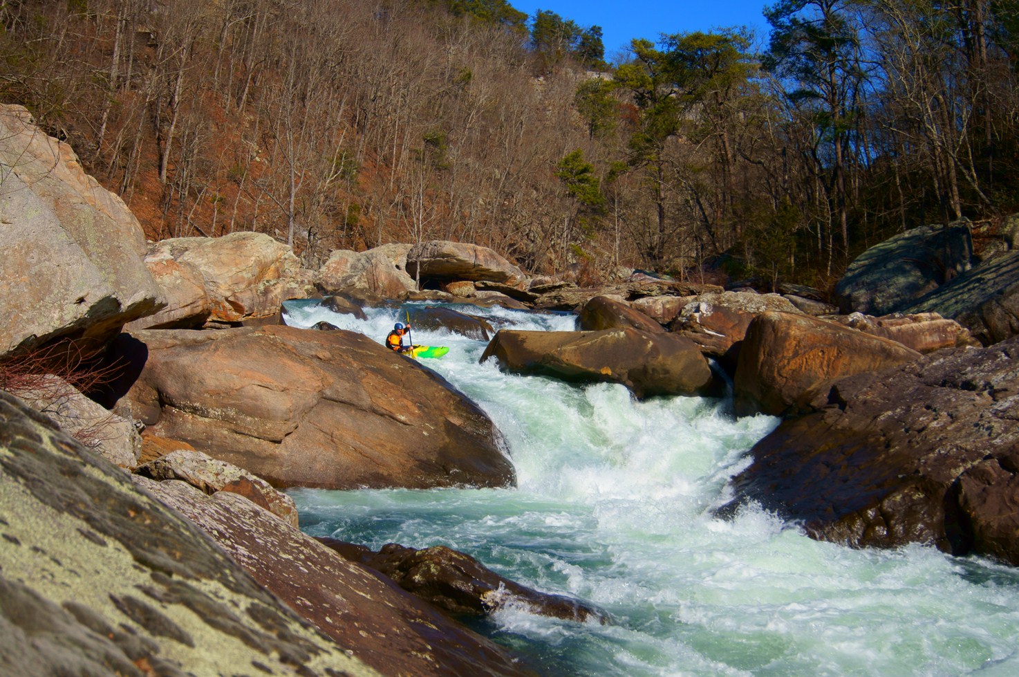
- Cable Falls (IV+ to V). At our low flows this rapid was not hard. Run down the slot in the middle (it is over a sieve). Then run down the right of center side of the next drop boofing the pinnacle of the flake. You don't want to fade off too early left and do not want to over-achieve right either, both can end up badly.
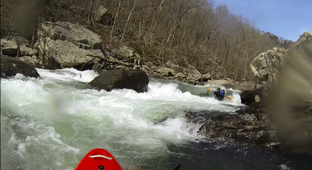
- Pinball (IV+ to V). A short section of boogie leads to a noticibly large rapid. You can get out after the lead in on river right to scout and/or portage. The line is to drive left across the ramp and punch the hole. Just below is a sieve on the right wall, boof the exit ledge and you are free for the next few miles.
Upper Two Section
Mi 3.1/0.0:
- The end of the Suicide Section and the Start of the Upper 2. The trail down is not obvious. I don't know of anyone who just does suicides, but certainly people put-in here all the time.
- Super Sweet Boof . A small channel on the right offers perhaps the worlds most fun water boof that is only 2 feet tall.
- Roadblock (III-IV). An easy boof, just make sure you get right to hit the boof. The hole has a cave behind it and is not shaped friendly. You don't want to over acheive on it either or you might dry out and drop in badly, so find a nice balance of right but not too far right. To boot, Humpty is just downstream.
- Humpty Dumpty (IV+ to V). A small ramp leads to a sweet boof followed quickly by another ledge into a sticky hole. You can either straight shot the two down the gut or you can eddy out between and run the exit down the far right.
- Deep Throat (IV). A fun boulder garden is full on and in my mind actually consists of several rapids. The largest of which is the exit which drops into a good size hole. It is an easy paddle out from here.
Take-out: From Fort Payne, drive 7.3 miles on Highway 35. Turn right on Little River Parkway. After 2.8 miles you will get to a turn out on a sharp right turn. This is the put-in for the Upper Two. Continue for an additional 3.2 miles to the Eberhart Point. Park here, though it is a short hike up the river steeply climbing some 500 feet of elevation.
Put-in: If you want to run the falls, go back out to the freeway and cross the river. The access is on the right just across the river. Otherwise, a few hundred yards before you get back to the freeway there is an access point dropping you down just downstream of the falls. See the take-out description for the Upper Two put-in info.
View Little River Canyon (Suicide Section and Upper 2) in a larger map
HTML Comment Box is loading comments...