Little River (Hike-up Elkmont)
| Stretch: | Above Elkmont Campground |
| Difficulty: | Class III to IV (one IV+) |
| Distance: | 2.9 miles (or less) |
| Flows: | ~3.2' to ~5' on the Little River at Townsend. Check out American Whitewater's current flow gauge for the Little. |
| Gradient: | 151 fpm average |
| Put-in: | The railroad bridge over the Little River (or downstream anywhere) |
| Take-out: | Little River Rd bridge near Elkmont Campground |
| Shuttle: | 2.9 miles hike, 1 hr |
| Season: | Winter and Spring, rain... maybe after a large summer thunderstorm |
| Written: | © 2015 |
Want clean class IV rapids with easy access but without cars whizzing by riverside? Look no further. The Hike-up Elkmont offers boaters a respite from the road-side classics downstream on the Little... the catch being that you have to walk from the bottom to the top. The walk takes approximately 1 hour to get the top... but of course some will take longer and others less. The reward however is pristine Smokie Mountain wilderness.
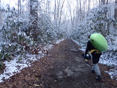
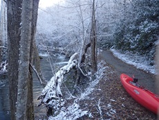
The hike up the river is via a decommissioned road resulting in a nice even grade the whole way. From the river, the road is noticeable, but is not an eye sore. The big benefit to the hike up is that all the major rapids are easily visable from the trail. There are two to certainly take note of prior to dropping in. The first is the Scrambler, a rock congested drop with two lines available and eddies on the right to scout/portage from. The second is not far downstream, Trials and Tribulations, which has one pinny channel that should be avoided via a strong left to right move.
The rest of the run is great read and run rapids, mostly class III with some class IV. It is a step down from the Upper Tremont section, more on par with the Middle Tremont. Pools exist for the most part and the moves are less linked. But I am sure as flows come up, the Hike-up Elkmont becomes a rollercoaster ride of fun with a few holes thrown in to spice things up!
Mi 0.0:
- So far I have only been here once, and due to daylight waning after work we got to Husky Branch and stopped hiking. I will update this once I get all the way to the top 0.65 miles further upriver. It looks like at Mi 0.2 below the bridge there is one good size rapid.
- Husky Branch marks a typical lower put-in that gives you a nice little warm-up before the hard stuff starts.
- Ledges (III). The first two major rapids are two ledges. The first one can be run anywhere but be aware that has been lodged in the exit on the right for long enough to be captured in google earth images. The second one can be run anywhere.
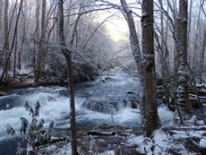
- The Melting Pot (IV-). The first big rapid has a nice eddy on the right above it. A straight away with some boiling curlers coming off the narrowing sides leads to a boof over a hole. It goes straight down the middle.
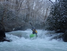
Just a little boogie leads to the biggest rapid of the run
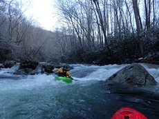
- The Scrambler (IV+). This rapid does not look great. It is obvious from the hike up, so take note of the eddies above it as you will want to scout it your first time. The line is to catch an eddy just above the lip on the left and drive hard right and boof into an eddy. The middle is full of rocks and the landing is very narrow. To make matters worse the lip is not clean. I blew the ferry to boof and straightened it out for a line down the middle at the last second... thankfully this was the line I thought from the hike looked good, later I found out that this is a less common but doable line when the water is high enough. Phew. There is also a sneak in a very small left channel.
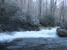
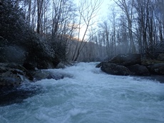
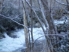
Boogie (III to IV). The next half mile is full of fun class III and IV moves. It is very continuous in this section so take your time, catch eddies, and make sure your paddling partners aren't getting too winded!
- Trials and Tribulations (IV). The last rapid to ensure you are in a proper line comes when the water splits around boulders. You can see this one from the hike up as well. It is the first big move you will see. The key is to get to the right of the large mid-river boulder splitting the river. To the left is significant pin potential. We entered center, driving right over a ledge and carrying the momentum to the right for a clean exit.
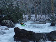
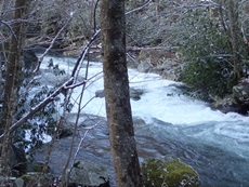
Boogie (III). Below, the boogie mellows out to class III and maybe a class III+ or two.
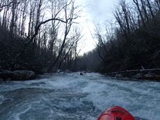
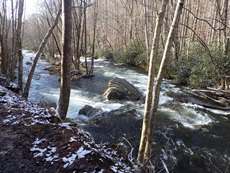
- Little River Bridge Rapid (IV-). The last rapid is exceedingly junky. Some opt to take-out above it. Or you can bang your way down. It is junky though. Typically the line is far right but there was wood in the right line our day so we banged down the middle.
For more details on the run, see the AW write-up
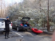
Take-out: From Townsend, take TN-73/US-321 away from Marysville and at the Y, turn left onto Little River Gorge Road. Drive 12.5 miles along the Sinks run and then the regular Elkmont run. Eventually turn right onto Elkmont Rd. follow this for 1.5 miles before turning left on Little River Rd. Follow this until you cross the bridge over the Little River and then look for parking on your left. The trail leaves from the parking area.
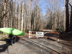
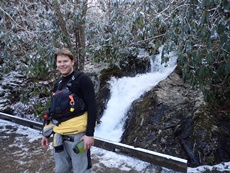
Put-in: Hike-up the river via the decommissioned road... after 2.3 miles you get to Husky Branch where a creek enters the Little via a nice waterfall that drops under a small footbridge on the road. You can also continue up another 0.65 miles to the point where the trail crossed the river.
HTML Comment Box is loading comments...
