Little River (Elbow to the Wye)
| Stretch: | Elbow to the Confluence with the West Prong of the Little River |
| Difficulty: | Class II to II+ (III-) |
| Distance: | 2.9 miles |
| Flows: | 2.4'+ (no upper limit, though vertainly over 4' it will be squirrely and not for the normal crowd). Check out American Whitewater's current flow gauge. |
| Gradient: | 43 fpm average |
| Put-in: | Turnout downstream of Elbow |
| Take-out: | Access at the "Y" at the confluence of the Little and its West Prong |
| Shuttle: | 2.8 miles, 5 minutes one-way |
| Season: | Fall, Winter, and Spring from rain |
| Written: | © 2019 |
I had never done this run, but a shut down Little River Rd forced us to leave a car at the Wye and drive up to Metcalf Bottoms the long way. That day, we went higher up and actually put in at the Elkmont Campground making it is a nice 14 or so mile day. Thjs lower section is by far the easiest on the Little (disregarding downstream sections in the valley). The rapids are class II with just 2 or 3 exceptions. Only one needs to really be noted as there is an undercut in play that you thread between, this is called Mary's Rock, and is easily viewable from the road on the drive up. One other small ledge near the top are the only two rapids that I could see regularly giving paddlers a problem. Other than that, it is just good fun learning with pleasant (albeit roadside) scenery.
I had 3.5' the day I did it, which I felt was a great flow for it. I am sure beginners aim for lower flows to make the river less powerful, but honestly, I could also see it getting scrappy in the class II really quick. Personally, I think hitting rocks is harder on beginners than lining up a wave or an eddy line.
Mi 0.0:
- Boogie (II). Lots of class II boogie on this run, I am only going to call out a few standout rapids.
- Ledge (II+). Not far below put in is a ledge split by a big rock. The left side is more straightforward. Hug the shore. The right side of the ledge is runnable for more advanced paddlers which can take a stroke to power through the small hole below.
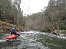
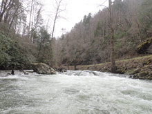
Boogie (II to II+). One rapid stood out in this section, where the rocks in the stream became bigger and the water moved faster between them.
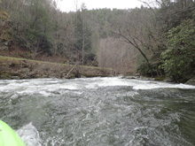
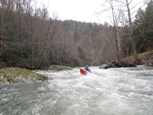
- Mary's Rock (III- to III). The crux of the run is visable clearly from the road. A small rapid runs along the embankment before then threading the needle between a large rock on the left that the water piles into, and one on the right. Move left to right, earlier the better through the slot. The hazard is that the left rock is also undercut, and occasionally collects wood.
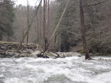
Boogie (II to II+). One rapid stood out in this section, where the rocks in the stream became bigger and the water moved faster between them.
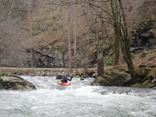
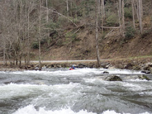
- Bluff Rapid (II+ to III-). The river makes a sharp left turn and there is a nice small rapid. We ran down right of center.
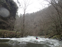
Take-out: From Maryville, follow US-321 East for 17.3 miles, eventually US-321 goes off to the left, but stay straight on the road which becomes TN-73 for another 1.5 miles. At the confluence, the road makes a Y, this is the "Wye." Park before bridge before the Y on the left, just downstream of the confluence.
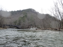
Put-in: At the Y, take a left onto Little River Gorge. Follow this for 2.8 miles to a turn-out on the river side of the road. If you see the Elbow, which is a tight constriction in the river and a solid class IV drop, you went 100 yards too far.
HTML Comment Box is loading comments...
