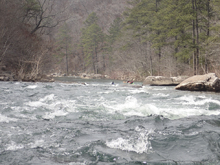
Little River Canyon (Chairlift)
| Stretch: | Eberhart Point to Canyon Mouth Picnic Area |
| Difficulty: | Class II to III+ (IV). |
| Distance: | 5.65 miles |
| Flows: | ~350 to ?0,000 cfs. Current AWA gauge |
| Gradient: | 31 fpm average |
| Put-in: | Eberhart Point Chairlift trail |
| Take-out: | Access in the park at the Canyon Mouth Picnic Area |
| Shuttle: | 7.2 miles, 15 minutes one-way |
| Season: | Winter and Spring from rain. Holds well. Can run whenever after substantial rain. |
| Written: | © 2017 |
| Featured in Video A Wet State #127 | |
Jim had the idea to do the whole LRC rather than the typical class IV/V day which involves hiking out at the start of this run. It ended up being a serendipitous plan as with my knee very swollen and my limp and pain limiting me, I would not have been able to do the hike out regardless. I mean, Jim had to carry my boat down to the river at the start of the day! So, it ended up being a great plan to float this section at the end of our day. And, who doesn't like getting new runs?
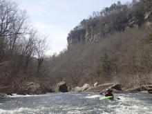
The run starts off with spectacular scenery in the heard of the Little River Canyon. As the river bends left you get the first two class III-ish rapids. And then the river bends south again and you are greeted with the biggest rapid of the run, Bottleneck. We boat scouted it, but I bet the scout is early on the right. Below, the river becomes a mostly flat water paddle with occasional small rapid all the way to take-out. Honestly, for us, after a week of class IV/V, the paddle out dragged on a bit too much for my taste. The scenery also went away as you got closer to the valley exit so we didn't have that to entertain ourselves.
I think this run would be a great class III run for people who have perhaps seen less rivers. Its long window after rain events certainly helps boost its value. But for me, it just didn't have enough class II and III to be a classic on whitewater merit.
Mi 0.0: Mi 0.6:
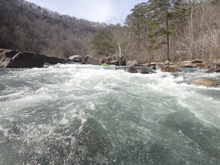
- Number 1 (III). This rapid had a blind and congested entrance. We hit a nice boof in a right channel and then caught an eddy on the left before ferrying out in front of a small undercut. I bet there was also a line far left in the top.
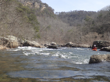
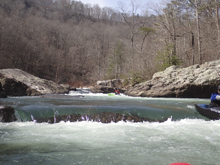
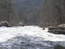
- Bottleneck (III to IV). The main rapid of the run is significantly harder than any other on the run. Run the entrance down the right. You can catch a slackwater eddy on the far left just above the crux though you honestly can't see much from there and that puts you directly above the hazards on the left shore just below. The line is to drive through the curler forming on the right shore and stay straight. There is a decent sized hole left of center at the bottom. If you keep it straight you will be all good.
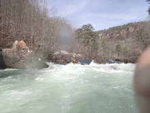
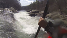
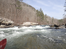
Boogie is more of an exception then the rule in this section... most of it is just small riffles
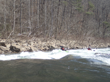
- Johnnies Creek enters on the left.
Take-out: From Fort Payne, the quickest way to take-out is to head to the South East side of the river. To do this, take AL-35 S. After 8 or so miles, you will cross the river. Continue down into the valley for a total of 10.4 miles from town, and turn right onto AL-273 S. Continue on AL-273 for 7.2 miles before turning right, just after you cross the river, on Cherokee County 275. Follow this for 1.2 miles. Park outside the park at the entrance sign, or pay the $3 to park inside the park.
Put-in: From take-out, continue heading up river on Cherokee County 275, in 0.6 miles, turn right to stay on it. Follow this for 2.0 miles before turning right to stay on it again. Cross Johnnies Creek and turn left onto County Road 43. After 2.3 miles you will continue straight onto County Rd 127 and continue for another 0.8 miles before turning right onto AL-176. Follow this for 1.5 miles to the turn-out and trail access on your right.
HTML Comment Box is loading comments...

