Linville River (Gorge Pre-Helene)
| Stretch: | Pine Gap Trail to Conley Cove Trail |
| Difficulty: | Class V |
| Distance: | 6.75 miles (Pine Gap to Conley Cove Trail Access) |
| Flows: | 1.9-3.0 ft. Check out American Whitewater's current flow gauge |
| Gradient: | Babel Gorge (Mi 2.9-3.9) 155 fpm
Bob Ross Gorge (Mi 3.9-5.3) 259 fpm Cathedral Gorge (Mi 5.9-6.5) 271 fpm Overall, 159 fpm average |
| Put-in: | Pine Gap Trail |
| Take-out: | Conley Cove Trail |
| Shuttle: | 14.2 miles. 30 minutes one way. Mostly on good dirt. |
| Season: | Fall to Spring from rain, runs often and occasionally in Spring |
| Written: | © 2018 |
| Featured in Video A Wet State #144 and John Moore's 4 part video guides Pine Gap to Babel Tower, Babel Tower to Jailhouse, Jailhouse to Conley Cove, and Conley Cove to Lake James | |
This run is one of those runs in the South East that needs no introduction. I have no memory of the first time I heard of this run, but am certain it was sometime well before we moved here. It was just always in my conscious as one of the best runs in the South East, and a classic for the country. And when we moved here, I made a list of the ultra classic runs in the South East that I REALLY wanted to run before moving back west. Those runs were Bear Creek (GA), Raven Fork (NC), West Prong (TN), Toxaway (NC) and Linville Gorge... also in North Carolina. With only Toxaway and Linville left on the list now after 4 years, I couldn't believe that I hadn't gotten on Linville specifically yet since it runs so dang often and even has a gauge. But, I guess in my defence, the first year we were here NC had a drought as every storm hit TN and not NC, and then I had a series of injuries resulting in surgeries which prevented me from signing up for a scouting/portaging and potentially a hiking mission. Though as it turns out, we only scouted a few, and the portaging really wasn't that bad, not compared to what I expected anyways with the size of the boulders down there.
Anyways, as the last of the Hurricane Florence (2018) rain dropped through the rivers, the weekend approached and Jim, Steve and I made the plan to head out to get this classic section before it dropped out. We had about 2.0 on the gauge and dropping, which 6 hours after we took off was reading about 1.9 or so to reflect the flow that we actually had. This flow was low for sure, but by no means too low. The rapids were still full, boofs still in, though undercuts were taller and sieves were more visible. Because of the low flow though, we did hike out at Conley's Cove as the paddle out needs a smidge more water. That hike sucked by the way. 1 mile and 1,100 ft straight up the hill. The trail is a nice grade but it is still 1,100 ft. It took Jim maybe 45 minutes, it took me closer to 1.5 hrs. I am sure most people will be between those two times.
The river itself is as classic as everyone says. In the SE, most rivers only maintain gradient for a few miles. Somehow, this run keeps it for longer... much longer. After a short paddle in below the falls, you pass through Babel Tower and enter the first gorge. This first gorge has some excellent boofs but tends to be smaller boulders. It isn't until the second gorge that it feels like the world gets tipped on its side, and the boulders become huge, along with the sieves and undercuts. Throughout this section, it is crucial to know the lines. There are some very unobvious lines, many channels end in severe consequences, and wood is ever shifting. Having someone who knows the lines will save countless hours for sure. The final gorge is much shorter, but also home to impressive drops and the most committing of them as well as the walls rise straight out of the river at times. This is Cathedral Gorge which in the heart of it, contains Cathedral Falls which is the tallest drop on the run, though certainly not the hardest. Below that a few more rapids await before the canyon wall peels back. This is your signal to hit the shore and begin the hike out. The other option, is to double the length of the day and continue downstream. Down there, the river is less channelized and the rapids get a little more dangerous, although less difficult and steep. Don't relax though as fatalities have occurred in the paddle out and all who I have talked to say the river is more dangerous down there. Finally, at the very end of that section is a few miles of mellow paddle out down to the lake.
Anyways, I don't know what else to say. The rapids were fantastic, super unique moves and features, some bedrock, a lot of multi move boulder gardens, some nice boofs, and some splendid scenery. I bet in the winter the scenery is even nicer as the trees thin out and you can see more of the walls. I have heard that the scenery in the lower paddle out is even better as the mountains rise more gloriously high above you.
The last thing I will say about this run. A day after I got back, I had some people reach out to me to ask how I liked the run and stating that they have wanted to do the run and couldn't find people to take them down it. They inquired as to my boating resume, with the key question being if I Triple Crown the Green. I honestly am not sure what the purpose of this question is. Running three rapids on a very short section of river, that you have likely done 100 times, is very different than running dozens of rapids, at first glance (or more likely, on verbal beta) throughout a long and committing day. If someone was to tell me that they are ready for Linville because they Triple Crown regularly, I would be dubious of their skillset, and would prefer to hear a list of 10 class V rivers they have done. Regardless though, this is a special place, one to share with friends, share in the awe of the place. My tip for those who want to boat it, put the time in developing friendships with the folks who go, so that they are eager to share the place with you. Because the other less fun side of it is, there are very real dangers here, if stuff goes sour everyone in the team may be called upon to risk their lives to help in a rescue. Trust, friendship and love is needed to sign up to that potential outcome. OK, I will get off my high horse now. And simply say, of the runs on the "list" I came to the SE with, this run is in fact the most classic and unique to the region. And I hope that any of you reading this will get to experience it one day if it is a goal of yours to do so. And hey, even if you don't kayak it, there is an extensive trail system through the canyon so you can see it that way too!
Note: I think I got the names right, this river literally has every move of consequence or note named. Also, I have only done this at low flow so far. I imagine individual rapids get harder at higher flow, but also that the river pushes between the rapids significantly increasing the challenge. Regardless, even at low flow, I thought the run deserved class V respect as there are just so many consequential moves, and fully imagine at higher flow it is every bit of class V.
2024 Note: This write-up is from pre-Helene. The reports are of drastic changes. I will try to get updates as they become available.
Mi 0.0:
- Pine Gap Trail Access is the most common put-in option. It is a 0.5 mile long trail that descends about 300 ft to the river.
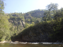
- 5 Foot Ledge (III). The paddle in is mostly boogie, but there are a couple of standout rapids. This first one is a 5 foot ledge that we ran left of center.
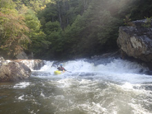
- California Dreaming (IV-). On a left bend, entering far right you get a steep two step slide that is actually pretty straight forward.
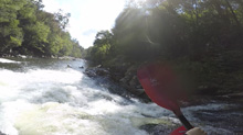
- Two Tiered Slide (III+ to IV-). A nice two tiered slide, we entered from the right and ran down the left of center on the bottom tier.
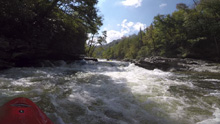
- 4 Foot Ledge (III). After a fun section of small rapids and a few small bedrock slides, you get to a small gorge section with bedrock shores. Right of center has a nice kicker to boof off of.
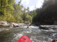
- Babel Tower Trail Access drops down here. This is a common put in option, or a nice exit option if someone has last minute second thoughts. The trail is 1.3 miles long and isn't all an established trail. Look at the AW description for the specifics.
Babel Tower (IV+ to V). Two lines to choose from, the first is a left to right line to boof the obvious shelf on the right. The other is to stay left and boof the shear drop over there. Both work. It is surprisingly friendly.
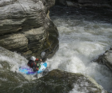
- Slide #1 (IV+). A little bit of manky boogie leads to a bit of a gotcha rapid. You start left and then drive far right at the top of the slide to avoid dropping into the crease. The exit of the rapid is a slide that gets a sticky hole that I know of multiple people swimming out of. So, stay right if you can. This then leads to...
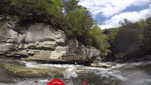
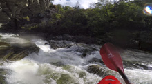
Slide #2 (IV-). The next slide is easier, follow the water down the right. This leads to the lip of the next drop.
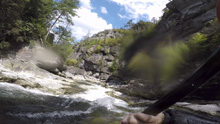
No Where to Run (IV to IV+). A bit of a boulder pile, run down the far left the whole way.
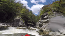
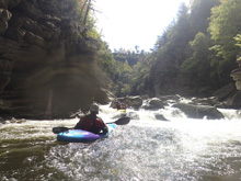
Up Against the Wall (IV- to IV). A short, pretty mellow section leads to a rapid that you run down the far right, boofing the exit in a narrow slot against the right wall.
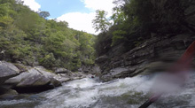
- Shoulder Boof (IV). A super sweet shoulder boof off the right shore.
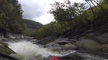
China Boof (IV). The next horizon is this boof which you sometimes go deep on. Pretty much boof center. Downstream are some fun slides, a few manky rapids, and a sneak or two.
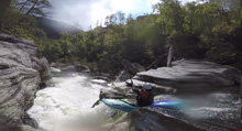
Used to Be A Portage (IV). This is an island drop, you want to be in the far left channel which is a bit of a mank fest, but it is better than the sieved out right channel!
- Wheelie (IV+ to V-). This is a sweet drop. The river s-turns left, then right and then left. On the first turn try to stay high so that you land and can drive far right when the river goes right and boof the exit far right. The left is a bit of a pocket that gets people.
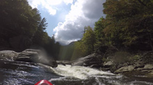
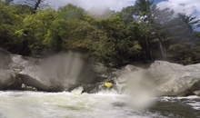
Zoom Flume (IV-). A nice little slide that we ran down the middle.
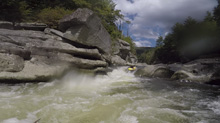
Zig Zag (III+ to IV). A small drop, sorta a easy version of Diagonal Chaos. Just run with the flow.
Skylight (III). A small boof center, we then eddied out in slack water on the right and ferried out in front of some undercuts to exit.
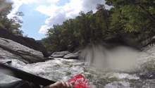
- Drunk Tank Entrance (IV). Two small slides, the first run center and the second run right (the left of the second is a bad undercut), leads to an eddy on the left that you should scout/portage from.
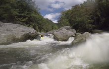
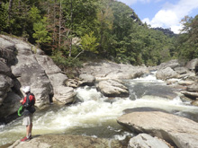
Drunk Tank (V). The first of the proper class V drops. This is a fast cascading drop into a pinch. The hazard is that the left side of the pinch is a hole that feeds under the left rock, and the right side is badly overhanging. Getting to the pinch in control is the challenge. So, Steve and I walked with ease, Jim ran it with an encounter with the right undercut.
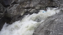
Diagonal Chaos (IV+). An s-turning, boiley rapid with a few rocks to boot. We entered with the flow and half of us exited left and the other half right. There was a pothole in there on the left if you didn't carry speed.
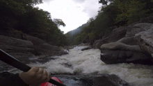
Blind Side (IV to IV+). The next one isn't that hard, but must be hit correctly. A small boof against the left shore marks the entrance before 20 feet then leads to another ledge. On this bottom ledge be far right and with 90 degree right angle to drop into the small exit slot. If you don't hit it that way, you will land on rock, and potentially pin.
- Death Penalty (V). This one does see runs, but is most commonly walked on the right. The line is a center boof with hard right angle. It is a pile of crap, with consequence. The exit of this drop which you run after the portage is a small slot that can be sticky. It had wood in it our day, Jim hollered as he ran through the exit and we scrambled... we then portaged.
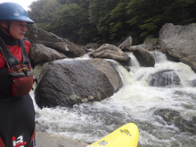
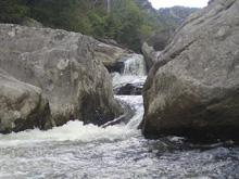
Gangsta Boof AKA Tingleballs (IV). One of the best boofs of the run is immediately downstream. Most will boof the slot on the left. Both sides are undercut/caved, so it isn't really a place to mess around. Plus, immediately downstream is...
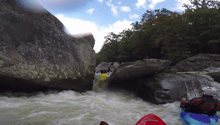
Arch Nemesis (IV). After landing Gangsta Boof, immediately go left of the shallow rock, basically against the rock that forms Gangsta Boof. This then takes you into a narrow slot, with overhanging rocks, forming an Arch above you. Immediately eddy out left or right. Because the next rapid is...
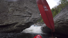
Double Undercut (V). Better with a little more water. This one is a ledge that you want to run with right momentum to stay off the left wall. The left wall has a big undercut that causes a pinch, so it is delicate to floss between the rocks. The right shore moves the current left, and is a little undercut itself, and downstream is another undercut. Scout left. Portage on either side.
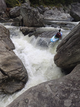
Tony's Rapid (IV-). The next rapid is run far left, a small ledge that once you land, you need to move away from the left shore which is undercut. Named after Knoxville local Tony Robinson who went under a tree here.
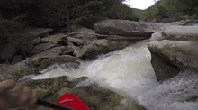
Adam's Of (IV). There was a tree which forced us to walk. Normally you run far left for a boof. We walked on the right.
- Jailhouse (V- to V). We scouted on the right which I am glad about. The entrance was a slopping double drop with an undercut on the right that you wanted to drive left and slope off downstream of. This then led to a small slack water section, which then lead to a river center boof and slopping hole into a 90 degree left turn. On the left turn, the left side is undercut, and the right shore is a sieve that sometimes is very bad, but our day was full of stuff and not as bad. The exit slot is small though and leads to a small eddy. You then exit either over a small rock bridge if the water is up, or under an undercut if the water is down. I have been told this one is pretty rowdy at high flows.
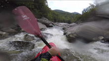
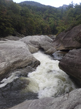
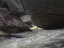
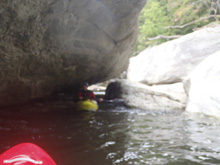
- Cyclops (IV+). A pothole drop is run off the right shoulder with a strong boof. At high flows, look for the boof left of center.
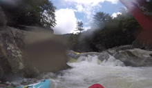
Low No Go (U). If the water is low, it is unrunnable. Walk on the left. I am not sure what the line is if it is up.
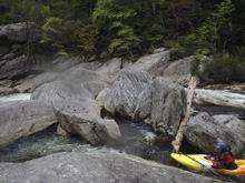
Daniel's Rapid (IV+). We ran down the second from the right channel which was a little manky. Apparently, Daniel Talley flat pinned here in the middle channel.
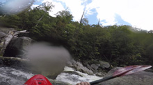
- Class II of Death (II). Seriously, don't laugh at a class II. This rapid is where the river tightens somewhat against the left shore and is a small river wide low angle hole that spans entire river. The danger is that it all feeds into a sieve to the right. So, as long as you hit it straight and with a little speed, it all goes unnoticed.
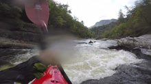
Backdoor Beauty (IV). A smaller rapid that we ran off a slopping ledge left of center.
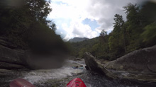
Jankasaurus Wrecks (IV to IV+). This one we entered via a very small channel right of center, basically an off shoot of the center channel, going perpendicular to the flow. We then caught a slackwater eddy and moved back to the center with the main flow.
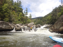
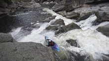
- Cave Falls (V). Such a good rapid. Scout from the right. If the flow is up you can run the entrance which is a slide on the far left. At low flow, you cant get far enough left to avoid the midstream rock and the potential for flushing into the right no-go channels. Once left, there is a small eddy that many use to seal launch into. From here, you drive off the left shoulder of a midstream boof, heading right and land on a slide. Those that get lucky land in a grove moving all the way to the right side of the river. Everyone else rides the slide down the left. Just don't end up far far left somehow. Apparently, there is also an eddy in a cave that you can use, which exits directly out onto the grove.
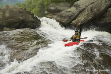
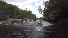
Clapper Falls (IV to IV+). This one is actually really fun. It is the next horizon line. You want to boof the main right channel right with 90 degree right angle. Don't over achieve on the boof as it will launch you out onto rocks in the left. Instead, drop it more middle but with the 90 degree angle to the right and with some right momentum. At higher flows, you can drive hard right and not worry too much about the rock in the landing.
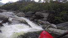
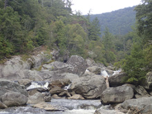
A Good Way to Die (V+). So, this has been run. It is stout. A big boof into a tight mean slotted ledge drop. Almost all will portage on the right and seal launch in to the pool below. Note that the landing has shallow spots, so pick your entrance point.
Welcome to Bob's World (V- to V). At low flow, this one gets more consequential. The rapid has a few parts. The river splits down an island formed by a large rock, we ran the left side. The top was a nice boof using a lefty. Next is a slopping rock center that we went over, if you go left it is ok, but this kills momentum and will force you into being on the right side of the river due to a cross current over there. For the final move, the name of the game is to drive through the curler with left angle as the right side goes into the undercut right wall. Just don't be too far left too early as you won't carry the momentum you need. A friend of mine has gone under that rock and it wasn't pleasant. At higher flows, the bottom curler is more benign.
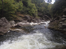
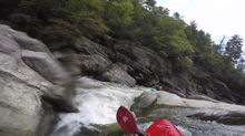
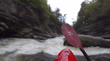
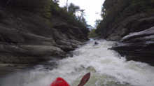
- Dr Shoosh (IV+ to V-). A super sweet bedrock rapid marks the end of the Bob Ross Gorge. We entered far right on the slide, which lands in current moving 90 degrees to the right. Let this push you to the right and boof the far right of the ledge just downstream.
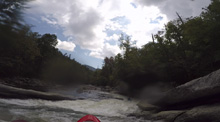
Mellow (III to IV-). WHAT?! A mellow section? Yup, enjoy it while it lasts! There are a few rapids in here. But they are all mellower so they don't especially stick out in my mind.
- Sodom and Gamora (IV+ to V-). This rapid is three part. The first part is run down the right where the river cuts right to left. You want to run it, allowing the curler to move you hard left and into the eddy below. The second part has two goalpost rocks, you want to boof either, we boofed the right shoulder of the left one. This then lands in fast moving water to the exit. The exit is almost entirely blocked by an undercut rock, but there is a small slot to the right that you can squeeze through.
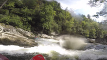
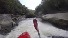
Donkey Kong AKA Spence Ridge Rumble (IV+ to V). A very long rapid that moves you back and forth across the river. There are some undercuts. Especially near the bottom on the right. Just stay with the flow and keep ‘er upright.
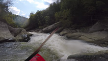
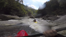
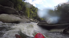
- Spence Ridge Trail. There is an exit option here, trail on the left that leads 1.7 miles and 800 feet up. This is considered the beginning of Cathedral Gorge.
Cave Diver (?). So, I am not sure what the mainline is like on this. We snuck it down the right. The sneak was just class III and started directly at the old bridge site.
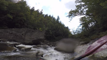
Hallway (IV+). The river pinches against the left wall, run down the wall. It then opens up a smidge before pinching down again. The second pinch is the important part. The exit of the second pinch is split by a rock, be right of the center rock for a nice friendly ramp. This dumps you in a pool. On the far side of the pool is a huge rock blocking most of the river, it is a little blind, but the right side was good to go. Note that you want to cut back to the left as there is a small sieve on the right just below.
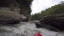
Blind as a Bat (IV- to IV). Another ledge drop, this one we ran basically center. It pushes against a rock on the far left in the landing which at higher flows causes a nasty backwash.
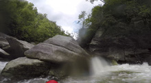
Ribshot (III to IV-). A nice bedrock slide run down the left. Stay away from the left wall though as it overhangs and has given the rapid its name.
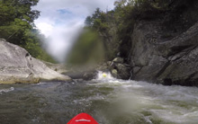
- Twiggies Revenge (V). Things have changed a few times in this rapid, for a while no one ran the main line, but a sieve filled up and now it gets run again regularly. The "main" line is on the right of a huge boulder island. It is a notch and ledge into a pothole. At low flow it is friendly, at high flow it can beat you down. Scout from the right. The "sneak" is on the left, but is still a big rapid on its own. You fade off a slab into a small chute, and run out against the wall and over the rocky exit. At low flows, the sneak doesn't go. The portage is a up and around thing on the right.
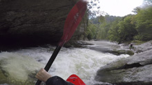
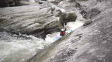
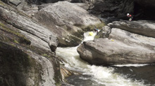
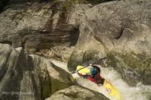
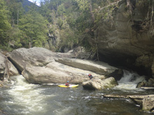
Scary Drop (V). Not as big as the other Vs on the run, but a pile of crap, and plenty of hazards mark this one. Jim ran it left to right catching an eddy on the right. And then ferried between submerged rocks to exit on the left. Steve and I portaged by putting in at the bottom, floating 10 feet on the right around the huge boulder at the bottom of the rapid, hopping out on some sieves, and seal launching back in. At high flow you may have to walk higher up to get around it.
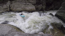
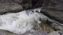
Terrible Hole (IV to IV+). At low flow the boxed in hole wasn't bad, but at higher flow it gets much worse.
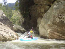
- Cathedral Falls (V). The entrance changed the day before we were there, but the move was still the same, just another sieve to worry about below the entrance. The entrance is down the left channel and is a boof over a hole under an undercut. You can skip the entrance and seal launch in immediately below if you so desire. The middle section is a ledge that you want to be far right on. This then leads to the hole immediately above the falls. Punch it, resist getting too far right too early as the flow moves a little left at the lip. You want to be driving right for the falls for the nice boof around the hole.
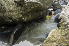
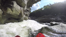
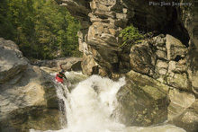
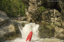
Wall (IV). After one small boogie rapid, you get this sorta nasty rapid where the water all flushes towards the left wall which is undercut. You want to drive hard right up and over submerged rocks and through holes to get right.
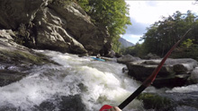
- Keyhole AKA Nikki's Notch (IV+ to V-). The last rapid before Conley is a tight slot. The river ramps down, head down the right to stay with the nice current and drive for the boat width wide slot, erroring to the right where you can boof. This lands is a sieved out caldron. Exit far left. Scout right.
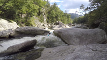
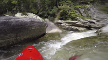
Mellow (II to III). Below, the river mellows out for 0.25 miles to the Conley Cove trail access. This is all I have done.
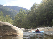
- Conley Cove Trail access is a common take-out for those with only one car, those who want a shorter day, or those there at lower flows which are less favorable for the lower miles. The trail here climbs some 1,100 ft in 1.1 miles. If you continue down to the falls, know that there are a few more hard rapids, but overall, the run is easier, but reportedly even more dangerous down there. So stay on your toes.
Take-out: From the town of Linville Falls, Head south on NC-183. After 0.7 miles, turn right into the Linville Falls area and trail access. If you cross the river, you went too far. This road quickly turns to dirt, follow if for 5.2 miles to the parking area for trail Conley Cove Trail. From the river, look for a backpackers camp along the river about 100 yards into the class II rapids. There is a trail that heads downriver and soon starts to climb. This is your trail. It will climb up a creek for its length. 0.2 miles from the end, you will get to a fork, go right to pop out at your car.
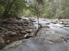
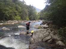
Put-in: Head back towards Linville Falls. After 4.4 miles, you will see Pine Gap Trail parking on the right.
HTML Comment Box is loading comments...
