Liamone (Upper)
| Stretch: | Below the Fium Grosso |
| Difficulty: | Class IV to IV+ |
| Distance: | 8.4 km |
| Flows: | ~350-1000 cfs (at take-out, ours was very low) |
| Gradient: | 121 fpm average |
| Put-in: | Bridge in the town of Guagno les Bains off of the D23 |
| Take-out: | D23 bridge 8.1 km East of Guagno les Bains |
| Shuttle: | 28.1 km, all paved |
| Season: | Spring from snowmelt/rain |
| Written: | © 2013 |
| Featured in Video A Wet State #73 and Kayak Session's Guide | |
And a huge thanks to Prijon for the boats they lent us!


Day 5:
This was an awesome day. The day started with us camping on the terrace behind some random hotel in some random mountain town that we had rolled into well into the prior evening. Waking up to no rain and a nice view looking down the canyon we decided to head first to the nearby hotsprings near the Taravo. The hotsprings are located overlooking the river in a small town near the take-out of a class IV run. Sadly, despite having rejuvenated muscles, the river itself proved too low to run.
With that we decided to head to Ajaccio for lunch and to tourist it up. Ajaccio is one of the two major cities on Corsica and the city I flew into at the start of the trip. More importantly though, the city was also the birth place of Napoleon Bonaparte. So, off we went to visit his birthplace and take a not so quick tour and get a quick bite to eat at a nearby pizzeria. As a side note from a proud half Italian... did you know that Napolean actual came from an Italian family that had settled in Corsica a few centuries earlier when Corsica was owned by the Genoese (an Italian city). Just sharing...
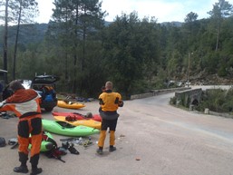
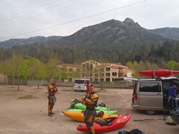
So anyways, with that out of the way, an amazing thing happened. The folks who had written the day off saying that the water was too low everywhere and that nothing was high enough to boat decided to say heck with it and boat something at a low flow. So with that, we all hoped in the car and drove out of town toward the Liamone. Arriving at put-in at 6:00 pm we quickly suited up for the 8 km class IV/V run that was running at a minimum flow. I honestly wondered if we were going to make it out by dark... and the pace at which every person took off and break neck speed down the river signaled that others had the same worry. One rapid after another we dashed down the river, Paul and Darin trading lead and scouting duties for the group nearly throughout. Less than 2 hours later as we pass the mandatory portage and the canyon begins to open up we knew we were set. Arriving at take-out with a half hour of light to spare, and dinner snacks waiting thanks to our shuttle driver volunteer who was nursing a rib injury for the Scala di Santa Regina. That night, we decided to camp at the hut at take-out and enjoyed a few nice bottles of wine, the company of some random folks from Britany that asked to join us while passing by, as well as the cover from a night that proved to be a wet one full of rain to drench our layers that we all left out drying.
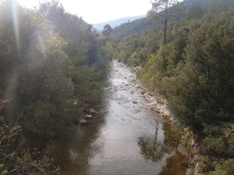
Although the river was a low flow, I still thought it was enjoyable. I liked Petlock's description of it that it reminded him of a smaller in ever sense version of Devil's Canyon on the Middle Feather. But the granite walls, bed rock rapids, and mountain scenery did just as much to impress. Worth the trip if you are on the island, and supposedly especially fun when the water is higher. Also, in that case, the Lizolla is supposed to be a superb bedrock steep creek and is located near the put-in.
Finally, I apologzie for all of the GoPro and other video captures that I am pawning off as photos here... we tended to go fast on the water (putting on after 4 pm every day) and focused on taking video when we did hop out. Thanks to Paul Gamache for his contributions of photos as well as Darin McQuoid for his contribution of video that I took shots from.
Update 2014: There was a fatality due to a sieve in this river. I am not exactly sure where it happened, but the article has a photo of the spot... Article about the accident (German)
Km 0:
- The rivers has a half km of boogie which leads to the first gorge.
- First Creek (IV). A side creek enters on the right (Liamone?) just below a double bedrock drop followed by a slide into a pinch. The latter being run far left.
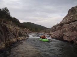
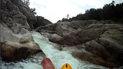
Undercut / Possible Portage (V). At the low water, a steep constriction pinched into an undercut before shotting towards a very badly undercut wall. Some of our group ran it, eddying out upstream of the wall. Others of us portaged on the right.
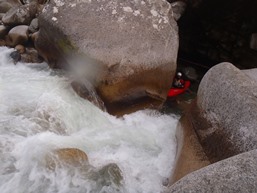
Log (IV). In 2013 there was a bad log in the middle of a rapid, we were able to just barely get by it on the far right.
Falls (IV to IV+). A nice 10 foot falls between walls follows a small ramp and corridor. Scout left.
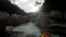
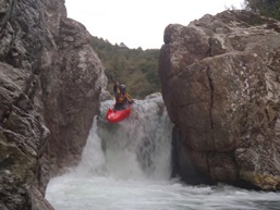
Slides (IV). Two cool sets of slides or ledges, we ran the first far left and the second far right.
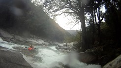
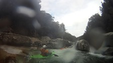
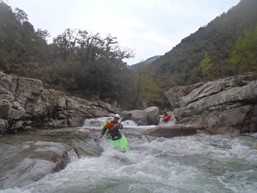
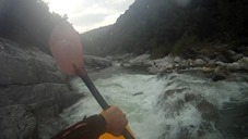
- Pinch Cascade (IV+). Somewhere near km 3.5 was a tight pinch drop run down the right the whole way. This is followed by several more fun boofs including a slide into a nice boof.
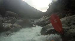
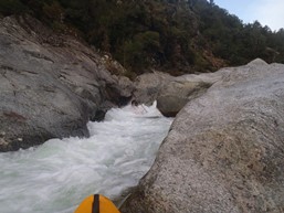
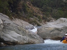
Some fun boogie in here...
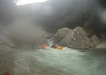
Junky Cascade (IV+). At the low water, there was one rapid against a tall wall on the right that had no clean lines. We eddied out on the wall and threaded our way through blind slots. Junky... but it went.
- Undercut Possible Portage (V). A steep rapid that has several sieves in play and a bad undercut at the bottom was walked by most of our rapid. Walk and Seal Launch in on the left.
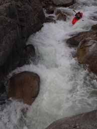
Steep Cascade (IV+). Scout on left or right. A steep cascade with several rocks in the wrong place. The best line was center boofing left (avoid a piton) followed by heading center for the bottom. They benefited by a few of us probing right which was junkier.
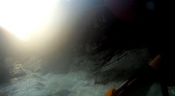
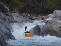
Where did Rok Go? (IV). On the far side of the pool below the Steep Cascade, You can see the pool below between two rocks, but what occurs at the ledge was hard to ascertain. But in our hurry, folks probed away. The best line was down the middle chute and boofing the flake in the middle.
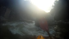
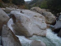
- Portage and Portage (U / V). The first rapid was unrunnable at our flow, the water went underground. Portage right. We seal launched back in, and caught the next eddy to continue portaging on the right around a sieved out rapid with a thin line. The river then immediately mellowed to class III /IV and then class II/III.
Directions: Use the GPS locations to get yourself to put-in and take-out... I wasn't driving most days and do not know enough of the directions to be useful.
Take-out: Take-out was on the D23, just East of Guagno les Bains. It is super easy to find.
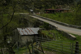
Put-in: Continue on D23 up to Guagno les Bains. As you enter town, drown down on Saint-Antoine and follow it down to the river and the bridge over the creek.
HTML Comment Box is loading comments...
