Lake Fork of the Gunnison River (Canyon)
| Stretch: | Red Bridge Campground to Gateview Campground |
| Difficulty: | Class III to IV |
| Distance: | 5.0 miles |
| Flows: | 500 to ~2,500 cfs. USGS Lake Fork of the Gunnison River at Gateview gauge |
| Gradient: | 48 fpm average |
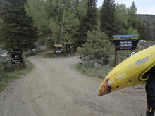
| Put-in: | Day use Parking at Red Bridge Campground on Blue Mesa Rd |
| Take-out: | Gateview “Campground” at the end of County Rd 64 |
| Shuttle: | 4.9 miles, (10 minutes one-way, all dirt) |
| Season: | Spring off snowmelt |
| Written: | © 2021 |
-
Colorado Road Trip 2021: Day 6
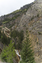
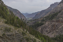
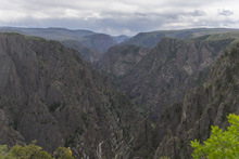
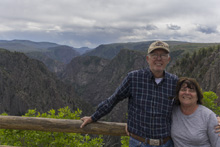
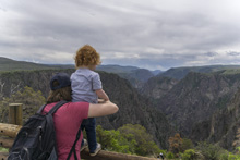
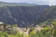
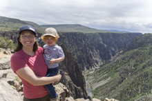
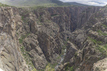
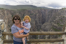
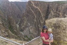
My parents, nor Diane, nor Aster had never been to the Black Canyon of the Gunnison. I kayaked it a few years back but was game to go see it as a tourist (road to put-in was closed this year for repairs so boating it was not an option) so we took an off day to recover after the Upper Animas and see another National Park. For simplicity's sake we just did the South Rim, despite the North Rim having better views and smaller crowds. The views from Silverton to the park were spectacular as we went up and over a pass, along the Red Mountains and down into the town of Ouray. Truely, the drive from Durango to Ouray is among the prettiest drives I have done. The down point of the visit to the park however was the lack of RV parking for my dad's rig, and one of the few spots being taken by a compact car with a license plate from Knox county of all places... not making our hometown proud dude! Otherwise, I will let the pics speak for themselves, or visit the write-up of the river from my previous trip for that perspective.
After the visit we headed through the highway 50 summer road closure as it was Sunday and camped along Blue Mesa Reservoir as we did not want to deal with the 22 hrs a day of road closures and the unclear Monday or Memorial Day open/closed situation.
Colorado Road Trip 2021: Day 7 Morning
The morning started with a plan to drive to the Upper Rio Grande. It had water, someone we boated with on the Animas said it was fun enough and pretty. But waking up earlier than everyone else I had time to kill so I checked flows and locations and found that the Lake Fork of the Gunnison had water, supposedly had whitewater, and was between us and the Rio Grande. We were in full desperation mode of chasing water so this was a great way to add a day of boating while we waited for the warmer weather that would kick off the snowmelt later in the week.
We planned to do two runs on the Lake Fork. The Canyon and the Box. The Canyon is the terminus of the river into Blue Mesa Res and as such was closer to our campground so we drove there first.
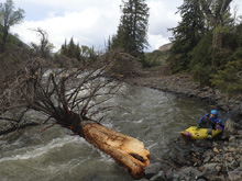
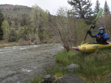
We found class III to IV whitewater in a beautiful canyon that was along the dirt road used for shuttle. There was very little traffic down here so the road was not in your face much at all. Two standout rapids were present, one was a long rapid with a rocky crux that bordered on class IV just because of its length and the log jam on the shore at the crux. The second one was immediately downstream of the take-out and packed a fluffy hole that I can imagine gets rowdy at high flows. Otherwise, the river had a lot of fun class III and really, very nice canyon scenery.
For the record, we had 750 cfs which felt like medium side of low... but not the low side of medium yet. I can imagine it gets run much lower, and much higher.
Mi 0.2:
- Bridge (III). The rapids start at the bridge just down from put-in. We had a quick portage due to wood. The fun boogie continues for a few hundred yards before tapering off for a bit.
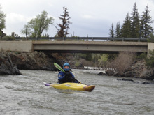
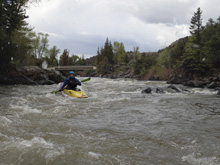
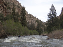
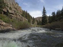
Mellow (I). A mile or so of mellow whitewater... but the scenery gets real nice in here.
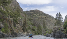
- Ledge (III to III+). A straight forward boof down the middle with lines around the boof on either side. I imagine at high flows this one gets a bit of power.
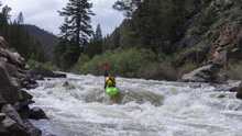
- Sidewinder (III to IV). What a nice rapid. Scout it while setting shuttle as the lead in is long and if there was wood in the crux it would be tough to get out. The lead in s-turns around a few small boofs for 100 yards of class III- before arriving at the crux. We ran down the center, avoid the right which sometimes collects wood, and the left at the top has a hole. At the bottom we boofed a small hole. runout continues around the corner.
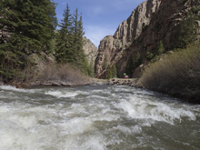
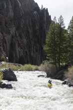
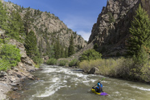
Boogie (III). After the runout of Sidewinder there are several fun boogie rapids. Which make the second half of the run go much much quicker than the first half.
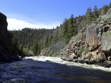
- Gateview (III to III+). At low flow apparently you need to be careful for the right wall. At our flow we just ran left of center and boofed and surprisingly powerful hole. You could go further left or further right to avoid the meat of it. When the lake is full, flat water begins below. Our year there was some more rapids downstream but we still took out as we had more plans for the day.
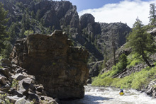
Take-out: From Gunnison, head west on US-50 for 9.5 miles. Turn left onto CO-149 at the top of Blue Mesa Reservoir. Continue on this road for 24.6 miles before turning right onto Blue Mesa Rd. This turns to dirt, follow for 2.2 miles to the day use parking just before the campground.
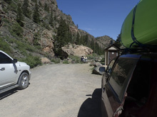
Put-in: Continue on Blue Mesa Rd downriver. At the bridge, go straight to turn onto county Rd 64 and continue for 4.7 miles to the end of the road. There are campsites back here, but it is not a tradition campground, just some sites along the road and river.
HTML Comment Box is loading comments...
