Laurel Fork of Station Camp Creek (Big South Fork Trib)
| Stretch: | Black House Branch Trail to Dunlap Hollow Rd |
| Difficulty: | Class IV to V |
| Distance: | 4.0 (hike out) or 4.8 miles (paddle out) |
| Flows: | No Gauge, Estimate ~200-450 cfs. Look for 2-3" of rain in prior 24 hours |
| Gradient: | 79 fpm average (the gorge is 110 fpm or so) |
| Put-in: | End of Black House Branch Trail |
| Take-out: | Dunlap Hollow Rd or Station Camp Campsite |
| Shuttle: | 19.1 miles (47 minutes, a little dirt) + 0.4 miles hike in -or- 6.5 miles (30 minutes, mostly dirt road) + 0.4 miles hike in and 0.8 miles hike out |
| Season: | Fall to Spring, Rain fed |
| Written: | © 2021 |
This river was my first river back after my longest break in 18 years at least (since I began my records). We stopped boating ahead of having our new son, Tobin, and then a drought hit and there were no options. So, the rain came, Diane gave me the clear to go spend the day boating, and Jim called with his brother in town. I didn't want a mission as I hadn't done much of anything in 2+ months and no boating in 2 months... so when he said BSF tributary I said I was out if he was suggesting Pine. He said nah, Laurel Fork. I knew some friends had done it that don't normally seek out the gnar, and I confirmed that recollection with Kirk's book, that it was class III-IV+. However, a sneaky suspicion in the back of my mind said we would have a lot higher water due to the storms that had come through than the previous descents. And in fact, with 3" of rain falling in the area, even from an unprimed state, the river did turn out to be double the flow Jim had had last time.
There are two options for take out, you can hike up 550 or so feet of elevation in 0.8 miles, or paddle 0.8 miles of mellow to a road access. The shuttle is much longer if you do the road access, however according to google it is only 15 minutes longer in aggregate as the dirt roads into the hiking take-out parking are also long. So, really it comes down to overall miles of driving as I think realistically hiking takes longer than the 15 minutes of driving. The hike took me a solid 35 minutes at least. It was dark, I didn't have a watch, so who knows for sure.
So, it was dark when we hiked out. I sorta glossed over that. Yea, leaving Knoxville at 11:45 near winter solstice for this run is not an ideal plan. Luckily for us Josh and Caleb were ahead of us on the road and drove into the hike out parking and met us near the hike in parking. Oh yea, there is a short (0.4 mile hike in too). This for sure saved us probably 30-45 minutes at the start of our day. If it weren't for them, instead of starting our hike at dusk and finishing in the dark... it would have been starting in the dark and finishing in the darker.
So what did I think of this run? Well, it is apparently the best tributary of the BSF. I haven't done any others, so who knows what weight that holds. But I will say, the run requires effort. The nature of the river bed is not overly friendly, so scouts for most horizon lines are necessary. Throw in a few mandatory portages due to sieved out passages with no clean line (maybe borderline runnable with our high flow), a steep, muddy river bank, and plentiful rhodo on the shores... scouting and portaging takes effort. And if you hike out... the 550' of elevation gain also takes effort. So come prepared. That is where I lacked. 4 months since our Alaska vacation and hiking had seen me stop doing any real exercise as my goals had passed, and 2 months since any kayaking saw me want to scout and portage more. Then I was so tired that I didn't want to scout only to decide to portage... so I portaged a few with only scouting from the top... and at least one I for sure would have run otherwise. The rapids themselves were actually really fun. The healthy flow didn't seem flooded at all. There was a fair bit of wood to deal with, and the flow for sure made that aspect a little more stressful. But on the bright side there were a lot of recovery calms between the rapids which always helps to lower the stress. Overall, I like the run, I just didn't like how I performed on the run. Looking back, separated from my physical suffering I can focus on the quality rapids, fun multi move sections, and very pleasant scenery to say it is a very nice run, that should be on more people's radar.
For the record, we had about 3" of rain overnight and into the morning. BSF went from 500 cfs to 10,000 cfs. There is no gauge nor a visual prior to the 0.4 mile hike in... we estimated maybe 400-450 cfs in the river. It was also runnable at half the flow. It was moving fast for us right from the get go!
Note: Mileage is approximate, the creek is not visible within google earth do to the foliage.
Mi 0.0:
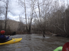
- Paddle in (II to III+). The paddle in last for maybe a mile. But within it, it builds up with a few quality drops whose holes pack a bit of a punch with the higher flow.
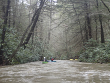
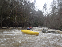
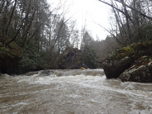
- First Up (IV to IV+). A horizon line with a very small eddy on the right and a mushroom rock in the middle is the first significant rapid that deserves a scout. Our day was made more difficult by the in play logs on the right shore. Our line was to the left of the curler at the top to then ride a rock flake to boof over a decent hole. The hole was more forgiving than it looked like from above. Caleb scouted it on the right and passed beta to us.
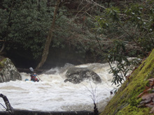
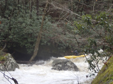
Two Channels (IV to IV+). Not far downstream the river split into two channels around a huge rock. We went left. Josh scouted on the right (island) and gave us the thumbs up. So we headed down the right, moving right to get up on a slab to slide down away from the meat of the hole/pocket on the bottom left. I did not get a look at the right channel.
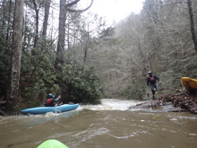
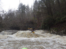
- Figure-Eight (IV+). Next up was a scout on the right. This one would have been more straight forward had wood not been hanging into our line. The river entered and split around a rock, either side went fine. We went left and eddied out left. Then ferried back into the middle to set up for the exit. For our exit we lined up a tongue but had to duck an aggressive log on the far right. Another line would have been enter in the right channel and then drive far left through the eddy in the middle to boof the jagged ledge on the far left. The middle had a decent hole if you botched either move. Scout right.
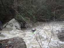
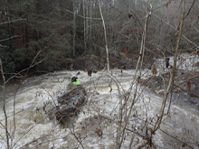
Ledge (III- to IV-). Below Figure-Eight, there was ledge that dropped 5 feet or so, the left side packed a punch, the middle folded into a seam and went fine. I bet at lower flows it is nothing.
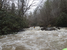
Portage (V to P). A weird folding ramp into a big hole. Made more complicated by a log in the line. I think it is one of the low water mandatory portages. We scouted and walked on the left.
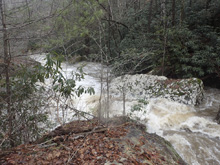
- Boof and Boogie (IV- to IV+). A sweet boof on the left followed by 100 yards of fun boogie that was read and run.
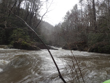
- The Good, The Bad, and The Ugly (V- to V). Named by Karl Whip on the first descent. A slopping ramp with some terrible fangs sticking up. Line it up and thread the needle. Went fine for those who ran it. Downstream was some more boogie. Scout/portage right.
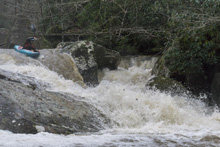
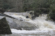
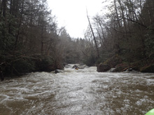
Caldron (IV to IV+). So, in disclosure, I cant remember where this rapid is and I didn't get a picture of it to anchor it. But, there was a big pool eddy on the right that you could scout from. The river dropped left into a caldron and pinch exit. From the boat, it looked terrible. Apparently at low flow the hole was worse... but at our higher flow it was super straight forward right of center and exit through the pinch.
- Folds (IV to IV+). Next up was a scout on the right. We entered down the center driving into an eddy on the left. We then boofed a hole in the left channel to stay left and slide down the exit of the rapid. There were other lines, but the middle did have a hole half way down.
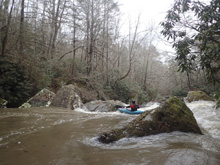
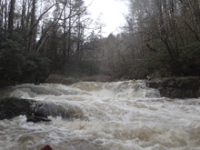
Portage (V to P). So maybe it was runnable at our flow, stout holes with maybe some wood in play. But at low flow it was a disappearing rapid with no line. We walked on the left. Some put in below the crux and ran the exit ledge.
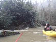
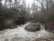
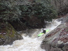
- Sexy Flexy (IV). Named by Robert Keeble on the first descent. Scout right. An easy boof on the right, sliding to a clean exit. You can also try to punch the curler on the left to slide around the hole. Jim tried and sorta made it. If you decided portage because you were too tired, and put in in the crack on the right, careful as you might become terrible pinned, body against a wall, and need your friends to help extract you... only to see them boat by you in the main rapid. Thank you Josh for hearing my screams for help!
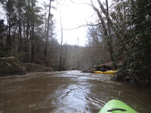
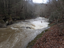
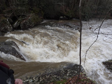
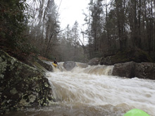
- Jim Will be Home by 7 (V). The last big rapid makes the end of the rapids all together. Scout right. The rapid would be much easier without the wood situation which required a delicate entrance away from the wood, not drying out on a rock, and away from the shore undercut. Once past that, it was as simple as lining up the center and riding down the 10 foot tall non-vertical drop, hoping for one of the kicker rocks to lift your bow over the small hole and allow you to exit the pinch in control. Note, the right wall in the pinch is a bit undercut.
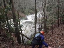
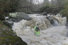
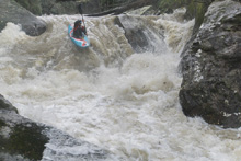
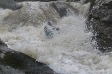
Last Boof (III to IV). We think it was the last hurrah, maybe it was earlier. It was all a blur at this point. But one last sweet 6 foot or so boof on the left.
Paddle Out: Super mellow, nothing of note to the hike out spot. I don't think there is anything in the 0.8 miles of Station Camp below the hike out to where the Big South Fork Confluence is and the access immediately on the right.
Station Camp Campground Take-out: From Onieda, head west on TN-297. In 4.2 miles, stay straight at the turn for Leatherwood, and it turns into Station Camp Road. Continue for 8.0 more miles down to the river and the campground access.
Duncan Hollow Hike-out: From Onieda, head west on TN-297. In 4.2 miles turn left to stay on TN-297 toward Leatherwood. Drop down to and cross the river, climbing up the other side. At the top, after 7.2 miles total since your turn, turn right onto E Brandy Creek Rd. Follow this for 1.7 miles before arriving at Brandy Creek Campground. Turn right into the campground and then turn left onto Duncan Hollow Rd which is a dirt road. Follow this for 4.2 miles to the gate at the end of the road. (for put-in from here, just back out to the main road and then pick up the directions below halfway through them). The trail begins at river level at a an obvious footbridge. Though there are several trails that are all converging at that point. Stay river right, and head up the old road at a slight upstream angle from the bridge, not the trail at a downstream angle. There are no junctions on the trail, just climbs steadily, steeply at a few moments, up to the gate where your car is parked. It is 0.8 miles and 550 ft of elevation or so.
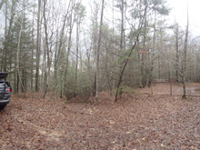
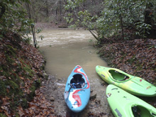
Put-in: From Station Camp Campground, head back out on Station Camp Road the way you came, and in 8.0 miles turn right onto TN-297 toward Leatherwood. Drop down to and cross the river, climbing up the other side. At the top, after 7.2 miles total since your turn, turn right onto E Brandy Creek Rd. Follow this for 1.7 miles before arriving at Brandy Creek Campground. Continue past the campground for 1.3 miles. It quickly turns to dirt. In 1.3 miles, look for the sharp right onto Duncon Hollow By-pass. Turn right. This quickly hits a fork in 0.1 miles. If you don't have CRV clearance (minimum) and 4 wheel drive, leave your car here. Or, take the left and continue 0.7 miles further to the parking area at the trailhead. Follow the trail to the left toward Laurel Fork, 0.4 miles downhill to the river.
HTML Comment Box is loading comments...
