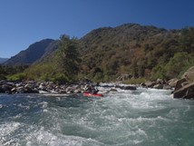
Kings River (Garlic Falls)
| Stretch: | Yucca Point to Garnet Dike Campground |
| Difficulty: | Class V- to V |
| Distance: | 9.7 miles |
| Flows: | 600-3,000 cfs (Class V at 1,200, V+ at 3,000). Current Dreamflows Roger's Crossing gauge |
| Gradient: | 101 fpm (154 fpm from Mile 2.75 to 5.2) |
| Put-in: | Yucca Point Trail, confluence of Middle and South Forks |
| Take-out: | End of the road, Garnet Dike campground |
| Shuttle: | 89 miles (~3 hours one-way). There is a short cut of a rough dirt road that cuts off 40 miles and saves ~30 minutes. But it was closed early in 2014 due to a landslide. |
| Season: | Spring and Summer, at the beginning and end of the snowmelt. Usually too high in between. |
| Written: | © 2014 |
| Featured in A Wet State #93 and Gareth Tate's video | |
Garlic Falls, AKA Kings Canyon is a classic run... so why is it not done more often? That is a question I have struggled with every time I have failed to organize a group to go to the river. I think the lack of attention these days, for a run that was once a classic California staple can be summed up in 3 simple explanations. 1) It is really really far from the boating centers in California. From Sacramento it is 5 hours to take out, and boats a 2.5 hour shuttle. That is enough to keep most folks from motivating for the trip. 2) The river is actually done all the time... by folks coming out of the Middle Kings. This means that people a) are on the Middle Kings while this is running a lower flow and b) the same folks are not motivated to drive all the way out and deal with the shuttle for the paddle out of the best river they have ever boated.
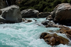
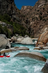
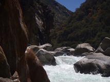
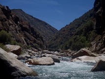
Whatever the reasons, this river is still a classic and should be boated more often. The rapids remind me of Tobin in terms of bouldery moves but the size and power of Cherry Creek. But the scenery stands well beyond either. That is one of the most impressive parts of this river, despite being at a low altitude and well into the foothills, you are greeted by granite canyon walls locking you into downriver progress, and even at points, the hills give rise to granite domes reaching up to the sky above. In my mind, this river really is everything Cherry Creek wishes it could be... which is saying something since Cherry Creek is of course a classic California run.
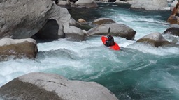
Below put in is one or two class IV warm up rapids before getting to the first large rapid that is notorious for causing folks to swim on their paddle out of the Middle Kings. Several large holes need to be negotiated. Scout and set safety on the right. Below, you have roughly 2 miles of mellow rapids in foothill scenery before you enter a boulder garden that is noticeably bigger. The next 2.5 miles are unrelenting class IV+ and V rapids. Bring your nerves and a good pair of shoes to scout with, as you will need both! The river can be done with zero portages, though all rapids can be portaged and Cassidy Falls and That's Dumb are commonly portaged. At the right flow though, even I managed to take zero portages. At higher flows, more portages present themselves, most noticibly in the Garlic Falls section proper at mile 4.4. The section of river between Rough Creek Falls and Garlic Creek Falls is a locked in (but portagable if you eddy high enough) canyon with two crux rapids, the first being a long rapid with the last move being amongst many boulders. The lower rapid is a two tiered drop with some funky hydraulics and a large rock that looks like it is best to avoid. Below, the canyon begins to ease immediately to class IV+ and quickly to class IV. As the walls peel away you are welcome with one or two tall boulder shoals that end up feeling class IV+ due to the steepness, mank if off line, and power of the hydraulics within. So stay on your toes at the start of the paddle out!
I thought that the flow we had was a perfect first time flow, with the diurnal of 700/735 cfs at Rogers Crossing. The river could have gone lower, but I think at 500 cfs at least one or two additional portages would appear. And I have been told that at 1,200 cfs the river is a solid step harder than 49 to Bridgeport on the South Yuba at the same flow. At this flow, I would saw the difficulty was similar to Cherry Creek at 1,200 cfs. I want to say it felt more consequential, but I think that it is probably just that it was my first time and with not knowing the lines etc it just felt that way... I bet if I went back in again I would feel it was more similar to Cherry Creek.
And thanks to the Janney Brothers, Jim and Tom, for their contribution of photos and video from the weekend...
Mi.0: Mi 0.5:
- Butthole Surfer (IV+ to V). This rapid is notorious of causing issues. People swim out of the top holes and the bottom holes. Stories of two people surfing and swimming simultaneously are not uncommon... and that is for people paddling out of the Middle Kings. The lesson is... pay attention. The rapid appears to not be big from above so people go down the gut. Just keep far left throughout. Worth a scout and safety though. Below is more mellow water...
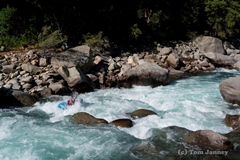

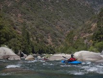
- Big Long Rapid (IV+ to V). I don't know what the name is on this one... but it is the first rapid of the "hard section." The rapid is a big boulder garden. We started left, then worked right. Lots of eddies to catch throughout.
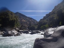
Grizzly (V). Perhaps this is just a continuation of the rapid above... it was class IV boogie between the two and only a hundred yards or so. Anyways, this rapid should be scouted from the left for safety, or right for just general view. A few ledges lead to a cascade and a fan rock. We went just to the left of the fan rock moving back right to punch several holes.
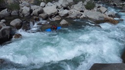
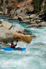
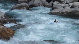
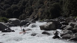
- The Wall (IV+). A short rapid that certainly packs a punch. You can scout from the lip on the right or extended on the left. We boofed in far right and then drove back left to punch the left side of the hole below. It packed a punch!
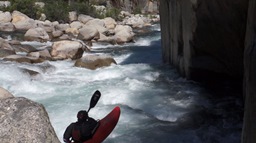
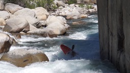
Warp 2 (IV+ to V). Just downstream a hundred yards is Warp 2. At our low flow it was really easy, eddy out left and drive back right down the ramp. At higher flows the hole at the bottom gets much harder... and Cassidy Falls just downstream looms that much more intensely! Scout or portage right.
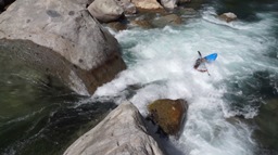
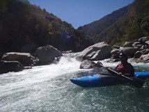
Cassidy Falls (V). This is the biggest rapid on the run, and the most commonly portage. A long section of lead in leads to the main drop... scout above the lead in, essentially immediately below Warp 2 as there is nowhere to exit your boat at the lip. We ran down the lead in on the right and eddied out at the lip in slack water. From there Jim peeled out into the middle and sailed a boof off the main line. Careful for the rock in the landing on the left if you over boof, and the rocks on the right if you under boof. Also, a mean hole appears at higher flow. Tom and I ferried all the way across and ran down the far left to sneak around the main line. That line was still tall and tough though!
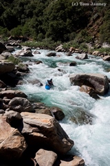
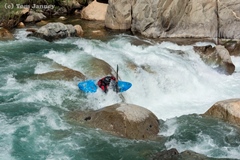
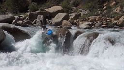
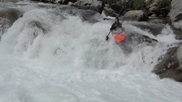
Below, you finally get some mellow boogie for a quarter mile leading up to That's Dump.
- That's Dumb (V). So, it is a class IV+ if you run it well... but damn the hole is big and mean and looks horrible. Scout right and set safety. We entered left and boofed the rock on the left over the hole. This rapid is also commonly walked because it is very easy to walk on the right.
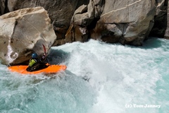
Below I don't really remember anything that stands out, just boogie down to Rough Creek.
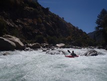
- Rough Creek Falls (V). Behind Cassady Falls I think this rapid is the second most challenging, but the challenge is because it is long with several moves to make prior to the exit which you want to be in control during. The entrance is directly below the falls and was a nice boof in the middle of the right channel. We then eddied out. Then we ferried out to boat scout the next move which was a ramp into two holes that we wanted to drive hard right through to eddy out on the right below. We scouted from this eddy... and at this point you have to run the exit. Scout from the top if you think you might want to portage (on the left). The exit was a ramp into a boulder fence. At the low flow you did not want to be end up in the right channel (one boulder splits the river). Instead you wanted to be as left as possible, then land and drive back right to avoid an undercut and sieve below (the sieve is only in play if you somehow hero boof pointing left and then don't paddle away)... it really isn't in your face. If you ended up right of the split at the boulder fence, the line looked like it went but would be boney/painful at these low flows.
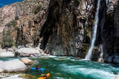
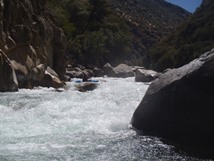
A hundred yards or so of class IV boogie lead to the exit rapid.
- Garlic Creek Falls (V-). Eddy out in the big eddy on the right to scout. Portaging would be a poison oak fest... scouting was hard enough trying to avoid the PO. Luckily the rapid wasn't overly difficult. We boofed the large slab in the middle. Tom and I then exited far left on a slide. Jim decided to work hard to exit far right through some fluffy water.
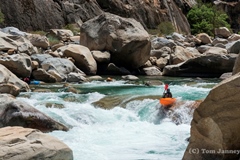
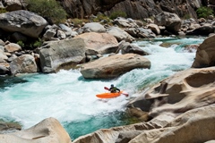
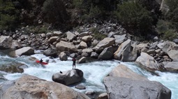
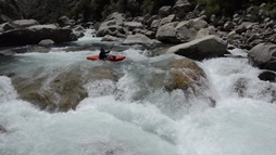
Below, class IV to IV+ boogie leads to the final boof.
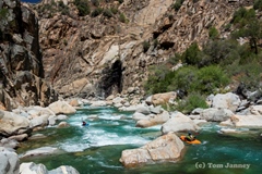
- Final Boof (IV). Super clean boof on the far right, boof the left side of the ledge. So good.
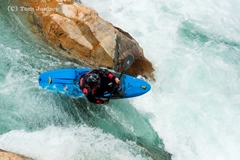
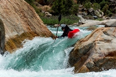
Below rapids continue but get easier, stay on your toes though as there are still some holes to punch.
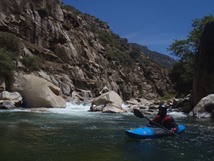
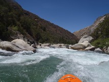
- Hand of God (IV+). Just a very tall bolder shoal. We entered left and boofed the entrance and then straightened out to drive left for a large hole at the bottom. Below was some run out that I don't recall specifics of. We eddied out above the run out on the right and peered down. Below the river turns class II to III.
Take-out: From Fresno, take Highway 180 East towards King Canyon. Take it through town eventually heading north one block on either Del Rey Ave or North Academy Ave (after 13.5 miles) and turn right on East Belmont. After 6 miles this changes names to Trimmer Springs rd. Follow Trimmer springs around the lake until it begins going up the Kings River itself. Cross the river (2nd crossing, this one on a small metal bridge) and go right on the small dirt road to Garnet Dike Campground (there is a sign) eight slow miles up the road.
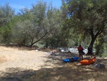
Put-in: Yucca Point Trail... which is on Highway 180, 69.5 miles east of Fresno. The trail is just at the confluence, right before you start to drive up the South Fork. There is limited parking on the left. It is a 2 mile hike into the river.
HTML Comment Box is loading comments...

