Kidder Creek (Lower)
| Stretch: | Near Greenview - Lower |
| Difficulty: | Class IV to IV+ |
| Distance: | 2.5 miles |
| Flows: | Scott River Near 1,400 cfs (~50 to 150 cfs). Current Dreamflows Scott River gauge and the Kidder Creek Good/No-Good gauge |
| Gradient: | 157 fpm average |
| Put-in: | About 2 miles above the gate on Kidder Creek Rd. |
| Take-out: | About a mile below the gate on Kidder Creek Rd on a spur road |
| Shuttle: | 2.7 miles. Normal years, the gate is closed and you have to hike two miles. |
| Season: | Spring from snowmelt |
| Written: | © 2012 |
| Featured in Video A Wet State #60 | |
A little known run in Scott Valley near the town of Greenview, this run wouldn't have been known to me if it were not for Darin's write-up. On several occasions, Darin has stated that this run is one of his favorite class IV to IV+ creeks, a statement that coming from Darin holds some weight. So, of course the run has been in the back of my mind for several years. The problem however is that the Scott River is a 6 hour drive from home. One of the furthest rivers from my house in Sacramento, only the Smith is further and still in California (OK, the Salmon is right there with the Scott too).
This year though, with a grueling few months behind me at work, and almost 60 hours of work under the belt by Wednesday night... I opted for the long weekend and took Thursday and Friday off to road trip up north. The goal was to get personal first descents on the North Trinity and Kidder Creek along with some repeats. North Trinity was Friday, Kidder Creek was Saturday, with the East Fork Trinity and Scott River as the bookends. Not a bad few days of boating!
To sum up Kidder Creek I will compare it to Canyon Creek (Tributary of the Trinity). If you like Canyon Creek's two hard mini-gorges and wish there were more than just two of them... Kidder is what you are looking for. In its short distance, Kidder drops through many multi-move, multi-tiered rapids some with slides and some with ledges. There are blind corners, bedrock, and boulders to accompany the crystal clear water. The rapids certainly are great. The downside? The hike. We got lucky, thanks to the extremely low snow pack (2012) the gate was opened earlier in the season than normal so we got to drive the 2 miles to the top of the run. Earlier in the season, you must park at the gate and hike to the top, which isn't all too bad except for one section near the end when the road climbs steeply away from the river for a few hundred yards.
Our day, we also had low flow but still thought the run was well worth it. Perhaps not if we had to hike... but without hiking the boats it was worth it. I imagine with more water the run is a hoot and a holler. At the low flows, the bedrock was fun and forgiving but the in between tended to be shallow. We also however, thought it was a good first time flow due to the occasional lack of eddies on blind corners and the presence of wood in the river. The day we were there, the estimate based on the correlation Darin provided Dreamflows went from "good" to "low" as the spring melt dropped out.
So, in conclusion... as I stated, this run is worth doing, even at the low flow. I imagine that with a medium flow the run is a must do if in the area. In general though, due to the shortness of the run and the solitude of the location... it is hard to make this a destination run. But, if passing through to or from the Klamath, Salmon, or Trinity... stop and enjoy the creek, you will have fun!
Also, for more info, check out Darin McQuoid's write-up. Also, big thanks to Daniel Rucker for the use of his photos...
Mi 0:
- Four Holes (IV to V). At the low flows, the holes were all forgiving, at high flows they look like they may start to pack a punch. Plus, the first hole has a cave next to it, so set safety. Oh, and there is no warm up as this is at the bottom of the put-in eddy.
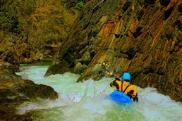
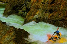
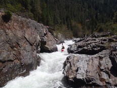
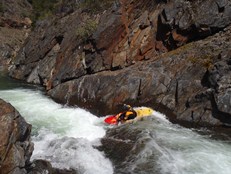
Pinch (IV to IV+). Just below the put-in rapid, is the pinch. This should be scouted prior to putting on. An s-turn leads to a pinch with a small pourover against an undercut. Scouting at river level on the left doesn't work. Not sure about the right. Safety is hard to set. But perhaps the right is doable for that...
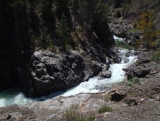
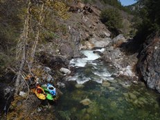
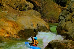
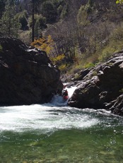
Double Boof (IV). It looks bad from the top, tree in play on the left. Just drive hard right to boof and exit.
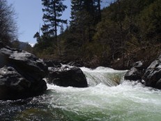
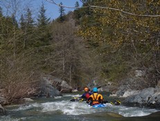
Ends in a Slide (IV to IV+). A fun multi-tiered rapid ends on a blind corner with an eddy on the left at the blind part. A slide that lands in a sticky hole with a small undercut on the right.
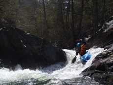
Bed Rock Continues with a few fun boofs, slides, and ledges.
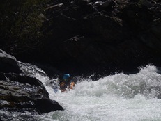
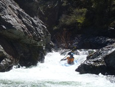
Long But oh so Good (IV to IV+). The first really long rapid since the put-in. We ran down the left boofing the sticky ledge part way down into the eddy on the right. The exit went just fine down the left as well.
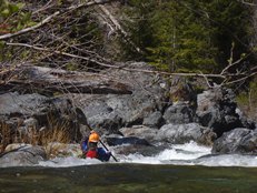
One or two more multi-tiered rapids remain, then you will get to a straight forward ledge which is followed by a 90 degree left turn and class II lead in to a blind corner. Catch the eddy on the left after the lead in and scout.
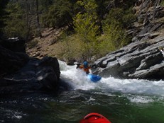
Undercut (IV+). An easy class II lead in leads to a blind corner. Scout from the eddy on the left after the class II lead in. On the right bend, the river drops over a ledge that is backup by a rock, the outflow flows to the left and lightly into the undercut. Don't worry though, the undercut doesn't appear to be hazardous. Plus safety is easy to set on the left while scouting.
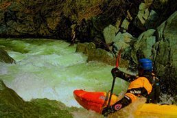
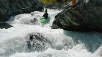
Boulder Garden? (IV). A shallow boulder garden leads to a split, Rucker went left and went deep and pointed Diane and I to the right which from above looked too small but from below is the obvious answer.
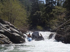
- The paddle out begins and there is really only one bedrock rapid left. Ona 90 degree right turn the river slides into a pinch against the left wall and falls into a good size hole. It went though!
Take-out: From Yreka on highway 5, take Highway 3 West for 22 miles to the town of Greenview. Turn right on Quartz Valley Rd. In a 0.3 miles turn left on Main Street. In a few hundred feet turn right on North Kidder Creek (it may have been marked just as Kidder Creek if I remember correctly). Follow this road until you see the gate (about 5.5 miles). Then backtrack to the nearest spur road dropping down to the river and take it and park. (Next time though, I may take out just past the gate at the road that drops down... it would save some mank if the water is low...)
Put-in: Continue up the dirt road. If the gate is locked, hike. Continue past the creek you cross. You will come to a spot that is flat that looks like a great place to access the river, continue another few hundred yards to the top of the first set of rapids... It is about 2 miles from the gate in total.
HTML Comment Box is loading comments...
