Kennebec River (Gorge)
| Stretch: | Harris Station Dam to Carry Take Out Rd |
| Difficulty: | Class III to III+ |
| Distance: | 3.45 miles |
| Flows: | 350 cfs (AW says)... I would say ~700 to 13,000+ cfs. Current Brookfield forecast and flow |
| Gradient: | 35 fpm average through Magic |
| Put-in: | Access below Harris Station Dam |
| Take-out: | Access stairs at Carry Take Out Rd |
| Shuttle: | 5 miles, (13 minutes one-way, all dirt road, mostly good though) |
| Season: | Spring to Fall (Dam Release), Summer has for sure releases of 4,800 during the day |
| Written: | © 2021 |
-
North East Road Trip 2021: Day 1
This is always a little tedious to do these write-ups after a long road trip. Starting the first one (this one) out of 22. A first world problem for sure, but it is daunting. And this is the first time I have done a road trip since we had Aster, meaning I have less time to dedicate to it. But I also want to try to get them down before my memory starts to fade... it is not what it used to be! So with that self-pity, humble brag, whatever it was out of the way, let's get started.
This trip was originally supposed to be a Scotland trip to replace last year's canceled (covid closures) trip. Of course we still couldn't do that. So we planned to do North Shore Lake Superior and some maybe Upper Pennisula. But as the trip got closer it became clear that the snow pack there was dismal and melted away early due to warmer temperatures. So, I reached out to friends in the North East. I found they had similar snowpack issues, but at least they had dam releases. So, 4 days before our departure date, we changed the destination to the North East in expectation of only getting a handful of dam releases, some class II lower sections, and doing a lot of hiking. As you will see, the trip worked out much much better than expected!
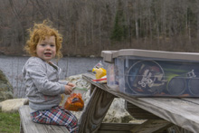
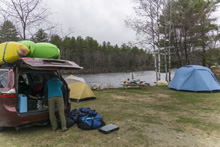
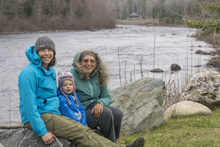
This was the first day of the trip. Diane and her mom are vaccinated so they flew up, while I made the drive from Tennessee to Portland Maine to pick them up. I left at 2:45 PM after Diane got off work, slept a few hours in Virginia, and made it to the airport by 1 pm to pick them up! Not bad! We then stayed the night in Portland. The next morning, the Kennebec forecast showed a 1,400 cfs release started at 3:15 pm so we boogied that way and found a campsite. We set up and then waited around until the afternoon came and we could drive the short ways from West Forks up to the Kennebec. During the summer, the Dead is also right there and has releases... but that hadn't started yet sadly. But that is just a side point.
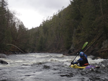
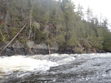
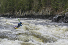
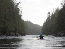
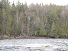
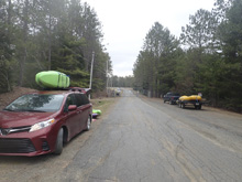
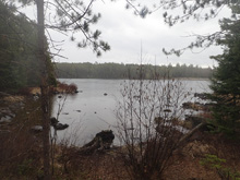
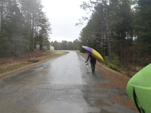
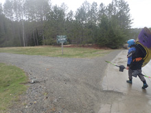
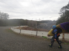
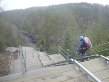
If you are there before the release season begins, you have a short hike in of a half mile or so, not bad, on a road. The release is usually 4,800 cfs. So my experience with 1,400 cfs is obviously different and should be taken into consideration. For us, it felt like a perfectly fine flow, I would have called it medium if I didn't know that 4,800 cfs was the release. I will say, that at 4,800 I imagine the run goes incredibly fast since it is fairly short... which would be a little bit of a downer. But I do imagine that the surf is killer. At 1,400 we had some nice small surf spots that we could have fun in but nothing epic. The rapids still had moves which was nice, I have heard at the higher flows there are a few hole dodges but mainly it is just big wave trains. I can see that, as there really weren't any large midstream boulders other than at Magic, which is two large offset holes at higher flows. The canyon though is super pretty, you can see the waterline for the higher water releases but that actually adds some beauty and perspective to the canyon. The first mile, during busy rapids has at time small shear walls which are quite pretty. Below, the river opens up more into a wide forest valley but don't let that put you at ease as Magic is still downstream at this point. Below Magic, the river gets easier and you quickly get to take out. Take out requires a short walk up some stairs, which are tall enough steps that they are super tiring, sadly so, more so than expected!
After our lap we went back to camp, and the flow increased to 7,000 cfs. We would have loved to have done another lap, but Aster was needing dinner and bed so we skipped it.
Anyways, this was a great first day. The river is a classic for Maine. I want to go back in the summer when the Dead has a release too and session them on nice warm days.
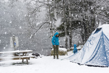
Speaking of warm, that night we were anticipating 0.25" of rain. As we laid down the forecast changed to 2" of snow starting at 8 am. We woke up at 6 am to 4" of snow already on the tent and it pouring more snow. The tent collapsed under the weight... and we streamlined our planned exit to drive north towards the West Penobscot. What a way to start the trip! Eek!


Mi 0.3: Mi 0.8:
- Rock Garden (III- to III). This rapid seemed like just the entrance to Big Mama. It was a long s-turning rapid that was run down the middle. It was run down the left and just consisted of waves and an eddy line coming off the right shore.
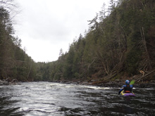
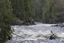
- Big Mama (III to IV). Just below Rock Garden was this fun move that looked a bit blind from above and had a little bit of a ledge hole feel to it. But it was also mellow enough at this flow. We ran right moving center.
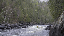
- Alleyway (III). I remember these as being some great waves, one in particular near the end had eddy service and offered a fantastic surf at 1,400 cfs. The river is compressed here so the waves are tall. The rapid is pretty long too, but it was super straight forward.
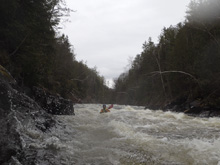
- Cathedral Eddy. Not a rapid, but for the first time since put in the river has a huge eddy in an ampatheater type of pool.
- Z-Turn (II). Honestly nothing of note, just some boogie water with some small surf waves at 1,400 cfs. Maybe at the release flow it is more notable. Below, the gorge really opens up.
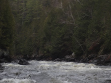
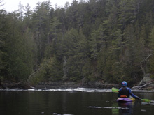
- Magic (III to IV). At 1,400 you could go far right of the Maytag, or down the middle moving right to left between Maytag and Magic. Apparently at the summer release flow you can run Magic (left), but then Maytag is terrible until very high flows of 8000 cfs+. The threading the needle line is always an option though.
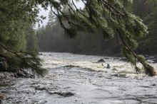
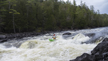
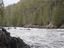
- Last Rapid (II+). One last rapid awaited in sight of take out. It was read and run with some rocks and one mid river hole to avoid as I recall.
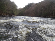
Take-out: In the town of The Forks, take Lake Moxie Rd. Follow it for 5.3 miles before turning left at Moxie Lake onto Indian Pond Rd. In 0.9 miles the road forks, stay left. Then in 1.5 miles you will get to an intersection with a small shack, turn left onto the rougher dirt Carry Take Out Rd and descend 1.5 miles to the parking area.
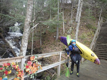
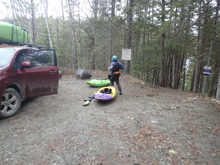
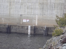
Put-in: Go back out to Indian Pond Rd and turn left to continue on the road. In 2.4 miles stay left at the fork heading towards Indian Pond Campground. Pay the entrance fee if it is in season at the gate. If you are out of season you will park 100 yards later before the power company's gate. Walk through the gate 300 yards and follow the signs to the river access area. You can drive to the access area if it is after memorial day apparently.
HTML Comment Box is loading comments...

