Jones Creek
| Stretch: | Highway 71 to Guntersville Lake |
| Difficulty: | Class V to V+ |
| Distance: | 5.8 miles (plus 2.45 miles on the lake) |
| Flows: | Look for Town Creek to be 300-1,500 cfs or so. Check with locals. |
| Gradient: | 125 fpm average (From Nasty Falls to Ricochet is 254 fpm, note the Hair of the Dog section is much steeper than the rest of the steeper section) |
| Put-in: | Highway 71 bridge |
| Take-out: | Utility near Boy Scout Camp Entrance |
| Shuttle: | 10.7 miles (15 minutes one-way) |
| Season: | Winter/Spring from rain |
| Written: | © 2017 |
| Featured in Video A Wet State #127 | |
With very limited options in our area, Jim Janney came up with the plan to either head North to West Virginia or South to Alabama. As the weekend came, south was the better option so we set out. The plan was to do Jones Creek, which none of us had done, and hopefully South Sauty the same day. Followed by another Sand Mountain run or worst case the LRC the following day.
Sand Mountain is where much of the boating in Alabama is. And certainly where all of the hardest boating in Alabama is. Runs like Jones, Miller, and Flat Rock epitomize the state's hardest whitewater, as well as how manky a creek can be while still being fun. Alabama is known for its steep, consequential, and manky whitewater. Rapids will have you bouncing off rocks, boofing over sieves, in front of sieves, and off wood. Somehow, the runs remain fun with unique moves that seem for the most part to not want you to end up in the hazards.
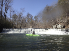
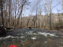
Jones is no exception. Technically, the first After a nearly 2 miles class II paddle in, you get to the large falls which marks the beginning of the proper creek. This drop although clean looking, at closer inspection does have a shelf and toe back behind the falls. So approach with caution. Downstream, a fun section of slides comes at you before class III to IV boulder gardens appear. As the river approaches a strong left bend, you get to a horizon and the pre-rapid to the Hair of the Dog section, which drops insanely steep for 200 yards through Bowdown. It was in this section, while setting safety I took a step and heard a pop in my knee. No rotation, no catch, just a step. Turns out I tore my cartilage and maybe the MCL in my knee. The rest of the weekend would require help to and from the river, help to scout, and if needed help to portage. Not what I had hoped. Anyway, after that, there is a brief section of easier class IV+ whitewater after the creek changes names from Bryant to Jones, and then you approach the final push of class V with Lumberjack, Freight Train, Casey Jones, and Ricochet. Below, a few more fun class IV+ rapids await before it quickly turns to III/IV and then II/III. The paddle out can be shallow and abusive depending on your flow which ensures you are nice and worn down when you hit the lake, and begin your 2.5 mile paddle to the nearest non-private access point.
I really enjoyed this river. I thought it was less continuous and less difficult than other super steep runs like the West Prong. I have done the Upper West Prong at low water and thought it maintained a much more difficult nature than Jones did. Jones has some big section, but it just isn't sustained in the same way. Though I bet at higher flows it would get legit quick for sure. For reference, we had 520 on the Town Creek Gauge. At the falls, there was a little water dropping over the pothole.
The mileage of the main rapids should be fairly accurate; the later items are more of an approximation.
Mi 0.1: Mi 1.85:
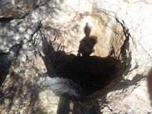
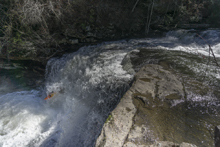
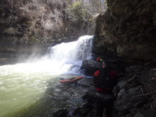
- Nasty Falls (V). After a bit of flat water you get to an obvious horizon line. Hope out on the left to scout. There is a pothole that drills down 30 ft to the water below to the left of the falls, if there is no water going into it you have ELF flow. The falls has a shelf to either side of the landing, and the water to the right recirculates back behind the falls. It is a serious drop. If you walk, it is a good idea to send one person down to the bottom and lower boats to them. The walk is on the left and consists of a few small ledges that you have to lower yourself 4 ft down onto as you continue traversing. Falling would be bad!
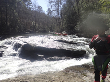
Split Slide (IV). Just below the big falls is this small slide. The river slides down into an undercut. There is a line on the left of it but most will drive to the right and into the eddy.
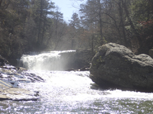
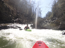
Broken Ledge (III). Not far downstream you get to another ledge. There are lines in the middle and left though they all land on a secondary shelf. The far right line is a bit pushier but is also cleaner down a two step drop.
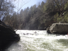
Drops (III). A few boulder garden style rapids are read and runnable
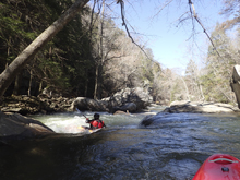
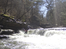
- Long Slide (IV). A long slide is best run generally right of center. This then s-turns to the right and drops over a sticky hole. Hit it straight. It is easy to scout on the left.
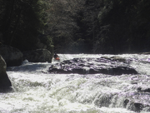
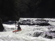
Boogie (III to IV). There is a lot of boogie in here. We were able to piece it all together down the maze between rocks.
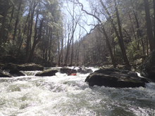
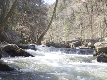
- Cauldron (IV). The first harder rapid (other than the falls of course) comes as the river starts to bend left. This drop has a ramp which pushes right before going over a small but sticky ledge. The hazard is that the far right has a nasty pocket cut out of the rock that has pin potential. Scout left. This is the start of the harder stuff in my mind.
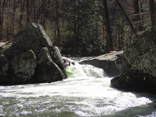
S-turn (III). There was one more small rapid that I recall before you get to the crux section. We rand own the right.
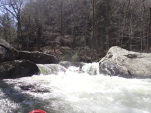
- Hair of the Dog (V to V+). The crux section consists of three rapids one after the other, all are big! Scout the whole sequence from the left and set safety as needed.
Hatchet (V). Drop over the left entrance which slides to a small eddy. Then ferry out across the pinch to get back to the right channel. Be aware there is a sieve just downstream in the center. Exit the rapid driving hard left over the right channel. The landing on the right is super rocky.
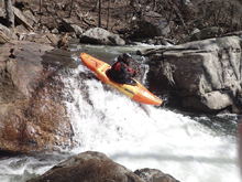
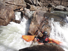
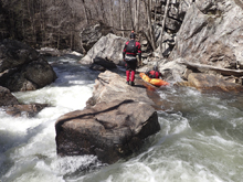
Eye of the Needle (IV+ to V-). At higher flows the entrance gets stickier. At low flows the ledge hole above the main drop is not problematic. The main drop is run left with a boof. There is a rock in the landing if you were to fade boof the left hugely. The right has a cave in the landing.
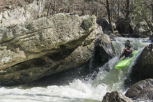
Bow Down (V). Immediately downstream is the hardest of the commonly run rapids. This one is entered in the main left channel and you drive right and ride the curler forming off a large rock slab and boof back into the center. The runout is rocky and sievy so keep it upright on this one! There is an easy enough walk on the left if you choose.
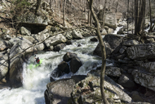
- Circle Back (IV+). Just downstream is a junky rapid that can be inspected on the left. The left channel is the one. There is an entrance that can be run on either side of a small rock. From there, make sure you hit the small exit to the far left. The exit is a narrow pinch that lands on rocks. Only Jim decided to run this one and he certainly hit a rock or two as he dropped through the exit. Jim went back a week later with some more local people, they ran the far right line that appears to lead to a massive piton but actually works out well. Who would have thought! Apparently the name is from the old line years ago where people would circle back from left to right.
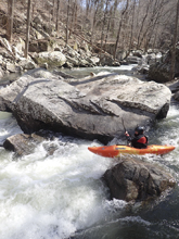
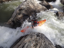
Little Bryant Creek: This little creek enters on the right immediately below, and then the name of this river changes to Jones Creek.
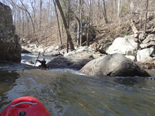
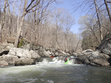
Lumberjack (IV+). Not too far downstream was a ramp that you want to scout earlier rather than later on the right. The ramp s-turns blindly around a corner before dropping over a 4 foot ledge. There is a rock in the landing far left, so we swung around to the far left to drive right across the boof to land in deeper water.
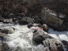
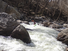
Freight Train (V- to V). Just downstream you will find this nice and blind rapid. It might be good to scout on the right though in hindsight it goes just find. Jim probed down to a small eddy above the exit and gave signals from there. The entrance was a sweet boof right of center which then landed in a walled out channel with small holes to boof. Exit right, the left is totally sievy.
Casey Jones (V+ to P). We portaged on the island and seal launched in. just below the exit was a super narrow exit which we exited far left.
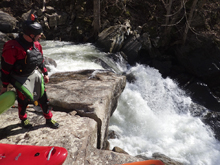
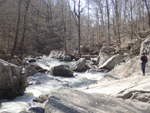
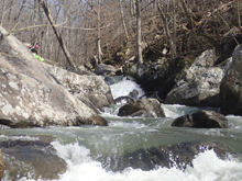
Ricochet (V). Immediately downstream was the last big rapid of the run. This one is run down the left, it is a small, tight and congested channel. Scout before running. You will be bouncing off of rocks.
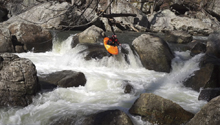
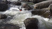
- Cyclops (IV+ to V-). The lead in was just below the previous drop and we just ran down the left and boofed right. That then led to the lip of this drop which we ran center down a rocky ramp before boofing left of center over a hole below. I have read at higher flows this hole is really bad.
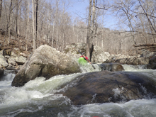
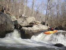
Ledges (IV). Another quick ledge that had a log in it forced us to portage ("Beatdown Falls"). Downstream is one more ledge that we had to take a quick look at, we ran right moving left.
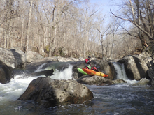
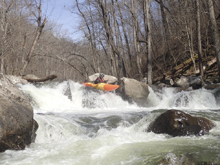
- Paddle out Starts (III to IV). The rapids then ease but there are still some junky class III and IV rapids in here to keep you on your toes. Also note that on the left in here A LOT of water disappears into a cave. Some of it comes back out a few hundred feet downriver. The entrance of the cave is big enough for a boat so be careful.
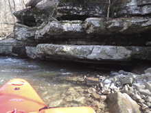
- Lake Paddle: You will come to a very large cut in the forest where power lines head up the hill to your left. The lake paddle starts around the corner.
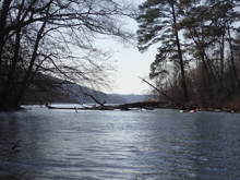
Take-out: From Scottsboro Alabama, cross Guntersville Lake on AL-35. After crossing, immediately turn left onto AL-40 followed by another immediate left onto County Road 24. This is residential. After 1.7 miles there is a utility building, we parked here. I am not 100% certain that this is always acceptable... Otherwise you have to paddle the extra 1.7 miles to the boat ramp on the far (river left) side of the AL-35 bridge. There is a Boy Scout Camp that is further down the County Road but apparently some kayakers trashed it years ago and we are no longer allowed to use it as access. Too bad, it would save about a mile of lake paddling.
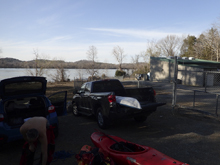
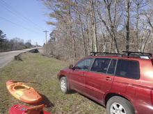
Put-in: Go back out to AL-40 and turn left. Climb up the ridge and follow this road for a total of 6.8 miles before turning left onto AL-71. After 2.2 miles you will cross the river, we parked on the left just past it.
HTML Comment Box is loading comments...

