Rio Jondachi (Upper)
| Stretch: | Rio Urcusique to E45 |
| Difficulty: | Class IV to V |
| Distance: | 6.4 miles (or 8.0 miles) |
| Flows: | No gauge. Visual only... |
| Gradient: | 134 fpm average (234 on Urcusique) |
| Put-in: | Rio Urcusique (or foot trail to confluence) |
| Take-out: | E45 bridge between Baeza and Tena |
| Shuttle: | 6.5-8.0 miles on good road |
| Season: | Year round |
| Written: | © 2014 |
| Featured in A Wet State #83 and in A Wet State's contribution to World Kayak's Video Guide | |
Ecuador 2013 Day 6:
The Upper Jondachi... what is there to say about this run? It is one of the best sections of river I have done. The relentless pace of the river, the blackened walls pinching tight and rising high above you, the lush green forest falling over the top of the canyon walls, and the strangest and most out of place seeming orange-ish granite rocks that occupy and divert the crystal clear waters below. Really just a sight to behold.
Boating the river is no task to be taken lightly. More than any other river I have heard of in Ecuador, this river is known for flashing fast and hard on folks, forcing many a groups to trek through the jungle to the road above. Though the road is never more than a mile away the hike through the thick jungle can take all day... and into the night. And of course, the jungle is not a place you want to be at night. Everyone in our group took our head lamps with us on the water to prepare for the worst. Luckily, despite the constant rain the river never flashed. I have been told that it can flash in a few seconds leaving you stranded on shore. One friend related a flashing tale of having to wait on a rock for a few hours before it thankfully dropped. Another told me of bombing huge rapids down to the nearest "trail" for an egress. Both stories sounded like something I would prefer to avoid.
We put in on the Urcusique. This small creek adds about 1.6 miles and about an hour of river time. The creek starts off with some fun bed rock ledges before turning into boulder gardens. We had low flow... and as such the creek was more effort than it was worth and we all thought that hiking in to the confluence is the better option at those flows. At higher flows though apparently the creek is good fun. Once on the Jondachi, the river begins quickly and without warm-up. The rapids were class IV to IV+ at the flow flow but still surprisingly linked together with most of the recovery pools simply being fast moving water into the next rapid. Additionally, the rapids were surprisingly blind. I was immensely grateful for Clay Warren and Jesse Sammons for leading the charge and showing us the lines. Without someone to lead the run could easily have taken several additional hours. As it was it took us ~3.5 hours of boating to finish the run.
So, a few impressions. As I said... either be super strong and confident sorting your way down the river, or find someone to lead you. Also, although even at low flow the rapids were class IV+... I felt that the day was serious enough that you would not want to be pushing your comfort in this canyon. Things could get out of hand quickly and escaping the jungle was not always possible. But, if you are feeling strong and adventurous, this section of river has to be on your list. Has to.
One final thing, this section is currently being considered for a dam that would dry the river bed of its water and leave the river barren nearly year round. This is literally one of the best rivers I have done in the world and I can say unequivocally that this would be a tragedy. If you want to learn more about the efforts to prevent the dam from going in, visit the Ecuadorian Rivers Institute.
Also, as this area is popular, I am sure all of the rapids on these rivers have real names... but I don't know them.
Mi -1.6:
- Urcusique Goods (IV). Directly below put in is a fun rapid run down the right, followed by a ledge run in the middle, followed by another ledge run center/left. A really good way to start the day before the rapids become steep boulder bars in the creek and a bit tedious at low flow.

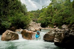
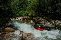
The boogie keeps going with an occasional biggy or steeper drop sprinkled in. you can tell this section would be a lot of fun with a full flow.
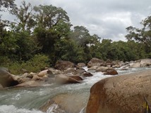
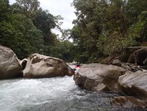
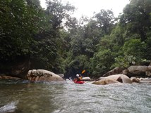
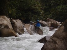
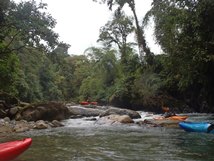
- Jondachi (IV). Once you get to the Jondachi there is one or two rapids that are simple enough boogie prior to getting to the traditional put-in.
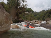
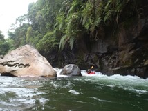
- Under the Bridge (IV+). Just above the footbridge is a fun drop that has seen plenty of photos. The drop starts with a small ledge. Some folks run far left others run one channel to the middle from the left. The exit is less sticky on the right. At low flow the exit also was fine on the left.
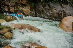
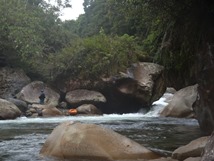
Possible Portage (V). The next drop is one of the two common portages that are made, though it is also run often as well. The challenge is not bashing rocks at the end while dropping through the exit. We all portaged on the left and seal launched into the intimidatingly shallow and congested pool below.
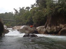
First Double Drop (IV to IV+). The next drop is a fun one to get the day going. Enter in the main channel and exit down the ramp. There is a bit of a rock in the middle so folks tend to go left or right down the center.
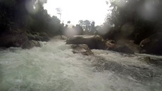
Boof the Exit (IV). Another blind lead in on the right leads to a boof on the right. We all caught the eddy in the middle which resulted in me plugging the exit boof. Luckily the water was low!
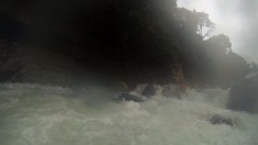
There is then some fun but mellower boogie that lulls you into submission prior to Triple Drop. Several in our group boat scouted too far down the right and had to hike back up once it got choked off.
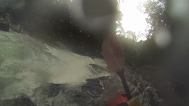
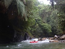
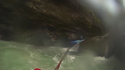
- Triple Drop (IV+). Three steep drops, the first one is run down the left. The second one is run down the right, do not exit the second one on the far left as it is a sticky hole. The third one is run down the middle through two holes. Be careful, on the first hole the river moves you right just below the hole into a large undercut rock. The undercut is more of an overhang a few inches off the water and goes maybe 20 feet back and opens into the eddy behind the rock.
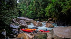
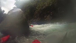
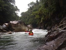
Sticky Fingers (IV+). Apparently this used to be one of the big rapids that caused a lot of swims. Now the rapid was straight forward class III/IV leading to a ledge with an undercut/sieve just to the right. Run anywhere though the left lands on a rock.
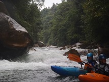
Drive Boof (IV to IV+). A one move rapid but it can bite you if you over achieve or under achieve. You enter far right and drive left to the flake. If you over boof and land left you can get stuck in the pocket eddy. If you fade off to the right you can plug deep or take a rock hit from the wall. If you get it right it is sweet though.
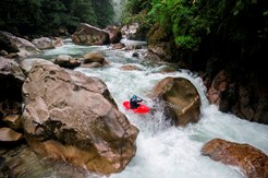
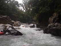
Landslide (IV). A landslide has caused a chunky ugly rapid that we ran far right on through some manky. Some choose to walk as it wasn't a fun rapid... just manky.
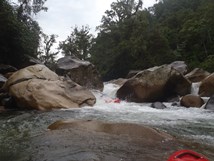
Classic boogie with some great boofs.
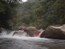
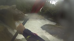
Tres Huevos (IV+ to V). Apparently this rapid changes from year to year, sometimes sieves fill in and it is runnable, other times less so. You can tell you are getting to a bigger rapid, you want to eddy out on the left to scout. There is an entry line on the right that actually makes the rapid easier, but it is impossible to scout from there. The idea is to drive left down the side of the wall and to clear the hole. The challenge is the s-turn just above it which pushes you out to the right.
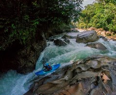
Boogie continues for a little ways...
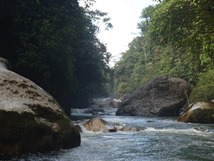
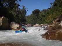
- Typhoid (V). I am sure this rapid gets run plenty, mainly because people boat scout down to the point of no return. The day we arrived a group of our soon to be friends had just that happen, one hoped out on a rock to take a look over the edge and to their surprise the boat slipped underwater into a sieve. The rapid has two parts, the top is a ledge that is a bit of a plugger. The bottom has a big undercut on the right with rocks blocking its exit making it a danger. There is also a sneak in the micro right channel that our group choose to take.
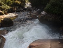
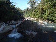
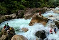
Thanks to Nicolas Labrecque-Sauve for the last pic.
The rest of the paddle out is class III.
Take-out: Halfway between Baeza and Tena, E45 crosses the Jondachi
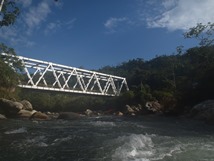
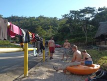
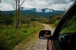
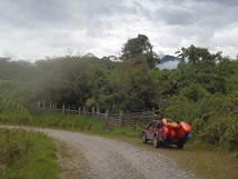
Put-in: Approximately 10 km up the road from take-out you will see a trailhead on your left. This is where the hike to the confluence starts. For the Urcusique put-in, continue up E45 another 2 km to a dirt road on the left with a gate (unlocked). Drive down a few hundred yards to the bridge over the Urcusique.
HTML Comment Box is loading comments...
