Rio Jondachi (Lower)
| Stretch: | Mondayacu to Santo Domingo de Hollin |
| Difficulty: | Class III to IV |
| Distance: | 13.2 miles (5.6 miles on Jondachi) |
| Flows: | No gauge. Visual only... |
| Gradient: | 70.4 fpm average (32 fpm on Hollin) |
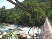
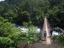
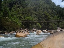
| Put-in: | Footbridge below the town of Mondayacu |
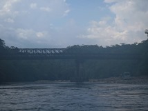
| Take-out: | Car bridge below the town of Santo Domingo de Hollin |
| Shuttle: | 15 miles on good dirt and paved road |
| Season: | Year round |
| Written: | © 2014 |
| Featured in Alison Homer's Video (which also includes the Middle Jondachi) | |
Ecuador 2013 Day 9:
One of the classic class III sections of Ecuador that includes a mud hike in to the river, a small river with shear walls, and a larger river with open power rapids... this river leaves nothing more to desire.
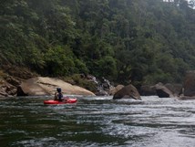
As is the story of our trip, we had low water. About as low as I think you would want to run it. The Jondachi itself was scrappy with constant rocks to avoid. With more water though I imagine the rapids develop into fun class III/IV affair. The scenery though is what this run is about. Even with the low water, I found the run very worthwhile thanks to the canyon rising sharply around you. Half way through the run (more by time though) you reach the confluence with the Rio Hollin. From that point the river takes a wider and bigger feel. A handful of rapids on the Hollin are bigger than anything on the Jondachi, and few holes lurk in there that you want to avoid. All too soon though the river lets up and the take-out bridge comes into site.
The run took Diane and me 2.5 hours to complete which included a 20 minute lunch break. We were also paddling continuously. And arrived at take-out 15 minutes early... which would have been ok if our taxi were not 1 hour late... and if the take-out wasn't known for its horrendous sand flies. Our legs were destroyed for a week after that this run. So... bring some light long pants to avoid a similar fate.
One final thing, you have to hire the local porters to carry your boats into the canyon. You can stop on your way in (just off the road) to pick up some. The price keeps increasing... in 2013 the cost was $5 each for the 30 minute walk. Another option is to put in at the take-out of the Upper Jondachi and combine the lower with the middle for 6 extra miles of class III/IV and one long day.
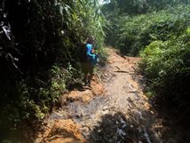
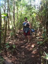
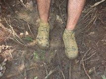
Also, as this area is popular, I am sure all of the rapids on these rivers have real names... but I don't know them.
Mi -1.6:
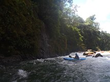
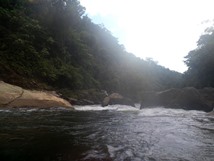
- Left Hand Bend (III). Below put-in the river bends sharp right and then sharp left. On the left hand bend is a nice fluffy rapid that we ran down the middle. The wall here is wonderfully tall and shear. Really sets the tone for the run nicely.
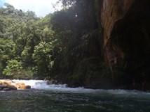
The river is mainly boogie. The scenery continues to be excellent and the waterfalls pound down over the canyon walls the whole way. The video linked above though makes this section look great with more padding!
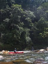
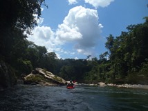
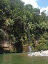
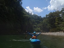
- Once the river turns to the east it seemed to get a few more harder rapids. There were two in here with holes to punch on the right wall. Both went fine.
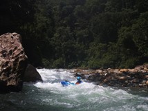
- The confluence with the Rio Hollin marks the half-way point in terms of mileage. But the miles go fast in the second half with the extra volume.
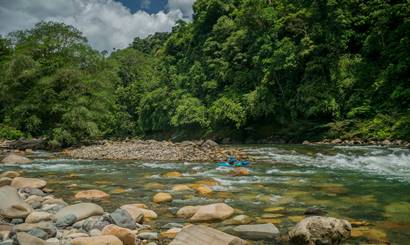
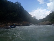
Around the Corner (III+). Around the corner there are two fun splashy rapids that are read and run, just follow the bulk of the water. If the water was high I can imagine these might get beefy (but in a fun way)!
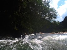
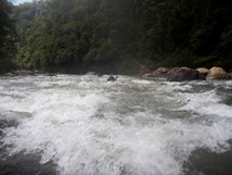
- First Bigger One (III to IV). Somewhere near halfway through the Rio Hollin is a bigger rapid that we ran down the left. It ended in a good size ledge hole.
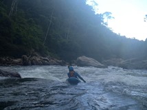
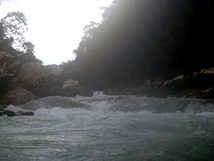
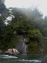
Landslide (III). A rapid with a bunch of ugly rocks and a long waterfall just below on the left should be approached carefully. The left channel went just fine, keep driving left and punch the hole. The right side of the river has a bunch of ugly micro channels.
In the town of Archidona on E45, there was a dirt road that dropped down to Santo Domingo de Hollin (a small village) and the bridge over the Hollin. It was maybe 5 miles on the dirt road. You will have to ask to directions if your taxi driver doesn't know the way.
Put-in: In the town of Mondayacu on E45 there is a dirt road that goes to the canyon rim (there is a sign, and the village is small). Pick up your porters at the top. The hike in is muddy so be prepared to get dirty!
HTML Comment Box is loading comments...
