Johnnies Creek (Lower)
| Stretch: | Canyon Rim Rd to Canyon Mouth Picnic Area |
| Difficulty: | Class IV to IV+ (V). |
| Distance: | 1.15 miles (plus 0.8 miles on the Little) |
| Flows: | -3 to +6 inches at put-in, (+3.5 felt fluffy for first time). Needs 1-2 inches in the previous day. |
| Gradient: | 247 fpm |
| Put-in: | Bridge on Canyon Rim Rd |
| Take-out: | Canyon Mouth Picnic Area on the Little River. |
| Shuttle: | 2.7 miles (~5 minutes). |
| Season: | Fall/Winter/Spring from rain |
| Written: | © 2018 |
| Featured in Video A Wet State #135 | |
After getting off Teddy Bear, I began to think that maybe these runs were overrated. Both were rated class IV. I would say Teddy Bear was III to IV. With that in mind, I began to think that Johnnies (also rated IV in guide sources) may also be a let down. But, arriving at put-in, and seeing a fluffy 10 footer and a spicey undercut rapid immediately downstream, the doubt began to wane.
Apparently at low flows, this is the local classic class IV run that brings all the class IV boaters from Birmingham out. Our day, only Sam England and his friends were to be seen, to tell you a little about the higher flow. I thought the run was more on the IV+ or even V- side at +2". Having Jim probe it helped take some of the spice out. But there were still a lot of spicy holes and large, in play sieves or undercuts.
Below put-in, you get a nice waterfall to warm up on. Below you flirt with an undercut wall and caldron. The river then quickly enters boulder gardens where you will boofing through some large holes if the water is up. Next, you will find your self on a long low angle slide which then tilts to be a steep angle slide. It is big, but it is also super straight forward everywhere. Below, is the biggest and most dangerous rapid. Gorilla Constrictor is a stout drop, I would say more class V+ than V at our flows. It is multi tiered, with big holes, an undercut, and very in play sieves. Additionally, the outflow goes into more sieves. Jim styled it, Diane and I used the trail on the left to portage. Downstream, another slide with a sticky hole on the left ends the bedrock and takes you back to boulder gardens. The exit of the hard stuff is a narrow hallway that leads to a slopping left off angle ledge that you want to run middle and with a good noise lift. The eddy on the right tends to recirculate people back into the hole. Below, the river mellows out with one more congested rapid before you hit the Little River below. A quick few minutes later you get to take-out.
This run can be lapped a lot of times in a day. Once you know the lines, you can make quick work of the river. The downside is the shuttle, though short, has a very steep climb making a bike or run difficult. Jim ran it... but that was more of a walk/hike than a run.
The guidebook says -3 to +6" is the runnable flow. +2" felt like a higher side of medium, maybe a smidge on the low side of high. But felt fluffy. Jim had been there low and thought "meh" and did a second lap at +4 and thought "damn." I can imagine +6 would be a class V experience for sure with lots of meaty holes. Not for the faint of heart. At +2" it was class IV+ and solid at that for sure. With that said, despite the short length, it was damn good. A great creek. I hope I get to run it again!
Mi 0.0:
- Entrance Falls (III+ to IV). Immediately below put-in is this falls. Most will run just right of center and ride the slide down. At high flow some boof far left. It is a straight forward drop, but at higher flows it is hard to stay on the surface and the pool moves directly downstream into Two of Three.
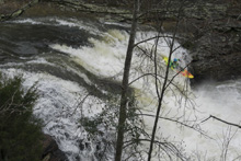
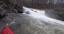
Two of Three (IV). Down the right wall, but note that the whole right wall is badly undercut. At higher flows there is a big of a hole in the middle just above the undercut too. So drop in with left angle.
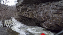
Boogie Right (III). Its just boogie. Follow the water. There are some nice holes in here. The rapid is fairly long.
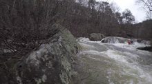
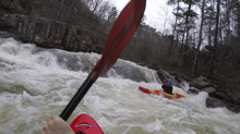
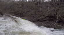
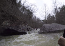
- Cave Left (III+ to IV+). At our flow the rapid had a good size hole that could back ender you immediately in front of the cave on the left. There was a clean line though left of center, next to the cave. Trying to stay right actually was worse. Immediately below was another ledge on the left that we ran on the right. We then ferried infront of an undercut on the right and began to work out way down the river.
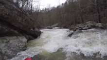
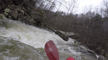
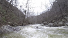
Left Bank (IV- to IV+). After the long rapid of Cave Left. You get to this rapid which is short but tricky. We boofed the curler off the left wall which then lands you in a cauldron which exits through a small hole. This then went immediately into Right Slot/Conveyor/Big Slide.
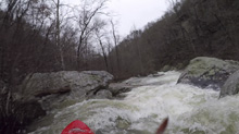
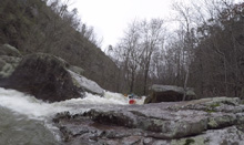
- Right Slot / Conveyor / Big Slide (IV). These are all one rapid at this flow. Enter the right of center channel and nose right a bit. This is a small ledge that is off angle. This then lands you on a mellow low angle slide called Conveyor. Work left a bit on this and go over the horizon for "The Big Slide." Note that below there is an undercut on the left that is easy to avoid. Also apparently if you were far right, the right shore has an undercut as well.
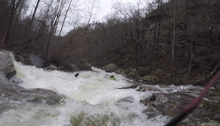
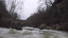
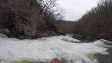
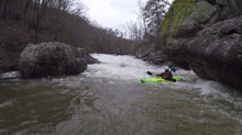
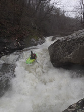
- Gorilla Constrictor (V to V+). From the pool below, scout or portage on the left. The rapid is very big. There is an s-turning entrance into a good size boof which then melts you on a left pothole which exits you on a slide... which lands in a pool which pushes quickly downstream into a bunch of sieves. There is a line right to left and back right for the exit. Scout... The portage isn't terrible.
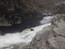
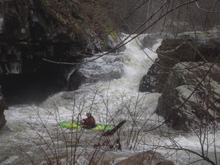
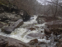
- Little Slide (IV). Directly below the sieve exit of Gorilla Constrictor, you enter a long slide. You can eddy out right after the initial part of the slide. The slide then goes to the left, you want to take the inside corner and then exit far right. At high flow, the hole gets especially bad anywhere other than far right.
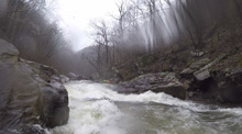
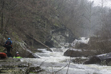
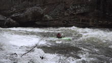
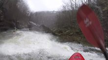
Cliff Right (IV). Immediately below, the river goes right around a house sized rock. We eddied out on the left, note there is a big sieve there. This then allows you to see the rapid. Run along the backside of the house sized rock to the right, boof a small ledge, then straighten out and go down the right wall with a little left angle.
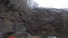
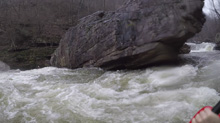
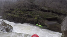
- Meltdown AKA Ditch Bitch (IV- to IV). There is then a narrow rapid with a mushroom rock at the bottom. At low flow apparently, you can run down the right. At our flow that melted you through a slot and fluffy hole. So instead we ran right to left to exit immediately to the left of the mushroom.
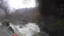
- Earthquake (IV). This rapid doesn't look great from above. Run down the left, lean into the fold against the rock to your right, transition your edge, and boof the exit.
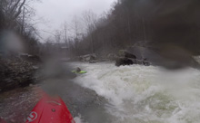
- Boulder Choke (III+ to IV-). A number of ways to get to the bottom, which has a fluffy hole. We entered on the far right and then cut back and across the main current to line the hole up.
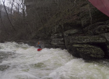
Bastard (IV to IV+). The rapid was rather long, the entrance was class IV boogie which then went down a somewhat narrow slot and over a blind horizon. The horizon was a sloping right to left non-vertical drop maybe 6-8 feet tall. The right side lands in a green water eddy that is feeding back up into the hole strongly. A lot of people trip on the current and go for a ride. So instead, just stay center, let your bow drift left with the slope, and take a lefty to keep your boat straight with the current.
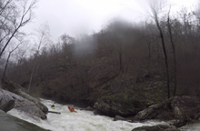
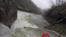
- Last Drop (III). Just when you think it is finished you get to one last willowy rapid. We went right and cut back hard left through a narrow slot. Some go down the left apparently but it looked boney to me.
- The confluence with the Little River. A mellow and quick 0.8 miles will take you down to the take-out at the picnic area.
Take-out: From Fort Payne, the quickest way to take-out is to head to the South East side of the river. To do this, take AL-35 S. After 8 or so miles, you will cross the river. Continue down into the valley for a total of 10.4 miles from town, and turn right onto AL-273 S. Continue on AL-273 for 7.2 miles before turning right, just after you cross the river, on Cherokee County 275. Follow this for 1.2 miles. Park outside the park at the entrance sign, or pay the $3 to park inside the park.
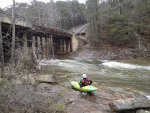
Put-in: From Canyon Mouth take-out, continue heading up river on Cherokee County 275, in 0.6 miles, turn right to stay on it. Follow this for 2.0 miles before turning right to stay on it again. You will then get to the bridge that crosses Johnnies Creek. Park on the near side of it.
HTML Comment Box is loading comments...
