Hurricane Creek
| Stretch: | Campground Rd to TN-85 (East Obey River) |
| Difficulty: | Class V |
| Distance: | 7.2 miles (3.8 miles of which are on the E. Obey) |
| Flows: | 1.75' to 2.5' give or take. Look for East Obey to be 2,000-3,000 and dropping.. Check out American Whitewater's current flow gauge for East Obey. |
| Gradient: | Hurricane: 162 fpm (max from 0.2-1.8 mile is 219 fpm) / East Obey: 50 fpm |
| Put-in: | Bridge on Campground Rd |
| Take-out: | Bridge on TN-85 |
| Shuttle: | 11.9 miles, 20 minutes one way |
| Season: | Winter and Spring from rain |
| Written: | © 2018 |
| Featured in Video A Wet State #148 | |
Hurricane Creek was not on my radar. Jim mentioned it a few months back after a storm when I was looking for new and different runs. But, there isn't a write-up in Kirk's book so I didn't bother prioritizing it, because how good can it be if it didn't make the book? So, Little Hurricane is in Kirk's book. But this creek, is good. It turns out... for a little history, it had only been run three times. Tony Robinson was on all three. There is a nice story in Kirk's book about how Tony found the first descent and the shenanigans that were had. It is worth a read for sure. I think some of the lack of popularity is because it is called a class IV to V run on AW but also a portage fest. I think if you call it a class V run, with knowledge that at the right flow everything is runnable, it would get a proper clientele who would enjoy it. Because, in all honestly, the portaging was a bit of a pain in the ass. Especially around the Big Baboon. Rhodo and roping up and down steep banks etc. Not fun. But if you run it, that isn't a problem!
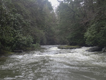
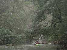
So, the run is a small creek... though not as small as nearby Little Hurricane Creek. It starts meandering but quickly hits the first rapid. This is a small taste of what's to come, tight, blind, and fun. More boogie will lead you to a super blind rapid where the river splits, scout as a sieve awaits in the main left channel. Below here, the river takes off down the hill side at a steep gradient. I calculated the gradient to be 219 in this section through the big ones downstream, but really this is thrown off because there are mellow sections between the before and after confluence sets. I am sure it maxes out above 400 fpm. Scout right at the first big one. We were surprised to learn Jim and Caleb got the first and second descent of this rapid. The rapid has a huge hazard after the entrance, set safety on the right. Not far below, Little Hurricane comes in and you get a brief mellower section before the river falls out again, scout right on Big Baboon. The portage here sorta sucks... Below, one more big rapid awaits where the river splits into several small channels. Scout right again. Below, things ease up but are no less dangerous as the next several boulder gardens have channels that dead end in undercuts and sieves. It is all boat scoutable, but approach with caution. Downstream things ease up down to the confluence with East Obey.
The East Obey continues with a mellow pace with just an occasional small rapid to negotiate, until you get Surf City, which is easy, but so so fun with a long mellow slide with three large surf waves on the slide. Downstream is the hidden falls of East Obey River Falls. At summer flows this is a 20 foot tall falls, but at low summer flow it is only a 2 footer thanks to the exit of the pool being so much higher and a sink being present out of the bottom. Downstream, you get one more rapid that should be scouted, though it is just class IV. And then, you will find yourself at take-out.
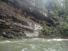
Overall, I thought this run was good fun, though certainly a lot of work for those who don't want to run the two biggest rapids. But, the scenery was quite nice, as the river alternated between limestone and sandstone, creating unique scenery and awesome canyon walls. The rapids I did run were still very fun, but it certainly would have been better if I approached it with a class V mindset this day and wanted a part of the big rapids. So in total, there are maybe six stand out rapids, three of which are V to V+. three are IV to IV+. And the rest of III to IV basically. So, approach it with that in mind.
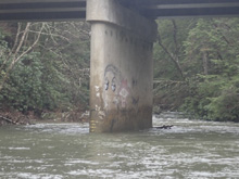
The run took us a good chunk of the day, we left Knoxville at 8 am and got off the river at 3:30 pm. We had 2.1-2.2 on the bridge gauge, which was a great flow for running everything. Higher would make a few things super gnarly. Similarly, I think low might bring out a few more sieves. And for reference, we had 1.3" of rain in the previous 24 hours in a well primed cave system as we had gotten a lot of rain over the previous weeks. The East Obey gauge was 2,500 cfs when we put on and 2,100 cfs when we took off. Note, the cave systems here are legit. So wait until the aquafers are fully primed and full.
Mi 0.0: Mi 0.2:
- First Drop (IV). This first drop was a little blind, so we scouted from the left. There was a midstream island, the right went though there was wood in play over there, but if it were clear it would be easier. The left had a finger to boof off of off this 4 foot drop. Boof center. Then this lands in a small exit and finally a small slide. Run those down the middle.
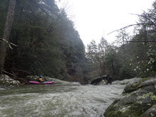
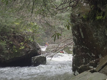
Boogie (III). Some class III boogie will keep you entertained while you wait for the steep section.
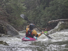
- Double Drop (IV). The steep section sorta starts gradually... but I would say this is the start of it. This double drop was run right of center and then 40 feet of calm before the sticky exit should again be run right of center.
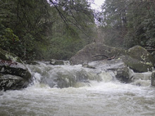
- Corner Drop #1 (III to IV). This isn't a hard rapid, but it goes around a blind corner which then leads directly to the top of the next rapid. Just go with the flow, multiple lines exist. I bet if the water is high some of the steps could get some holes, especially near the bottom.
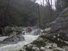
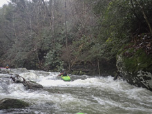
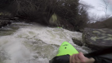
Slots (IV). Most of the water went to the left, Jim boat scouted down to the lip but waved us off due to a sieve and wood filling that channel. We scouted the right and found small channels that you could navigate, so we did. It wasn't an especially great rapid, but check for wood before dropping in.
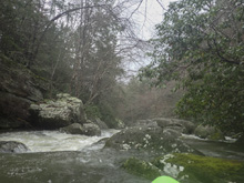
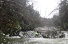
- Crash (V). Apparently this rapid had never been run before our day. We weren't aware of that until after our run when we talked to Tony Robinson about it. They named it Crash on their first descent because they assumed if you tried to run it that is what would happen. Jim ran it first in our group, so he got to name it officially... he decided to keep the name. So, for sure scout this one. The top has three channels, if the water is high maybe you could run the left and slide to boof off while staying high enough to avoid the shelf in the landing. At our flow, Jim and Caleb ran a tricky small chute on the far right which allowed them to boof through the left's curtain and clear the shelf. I don't think this line would go at high flow. OK, so that's the entrance. Now, 30% of the water goes to the right and into a very large and wide sieve formed under a massive rock. There is a small channel in the middle where all the free water exists. Obviously go there and then run down the left. There are some rocks to be navigated and jumped over. Jim caught an eddy on the left halfway down to scout the exit. It was clear. I portaged on the right and ran an exit far left of the pool I slid into.
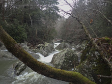
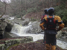
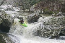
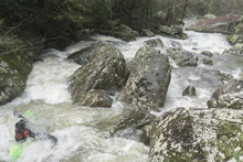
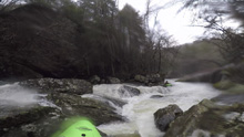
Sweet Boof (IV to IV+). The next boof is sick. The scout on the left takes a bit of time thanks to Rhododendron. Caleb scouted it and gave us the thumbs up. We ran middle heading left across the lip of a sweet boof.
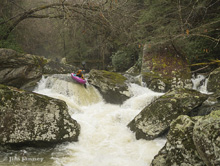
- Confluence Rapid (III to IV). Immediately downstream is a rapid that looks worse than it is. I bet it changes yearly with flood. It is just a bunch of small boulders with high pin potential. Scout on the left to find your line around the pins.
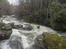
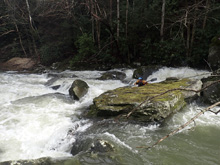
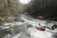
Confluence with Little Hurricane Creek is immediately below. You get a little reprise from the harder whitewater. Briefly anyways.
Boogie (III). A smidge of boogie, one rapid stands out. It is a shoulder boof that should be run far right on the shore. Land and move a bit right as the center of the flow hits a submerged rock.
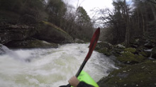
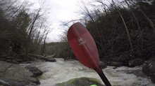
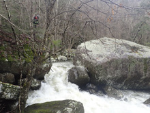
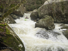
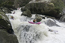
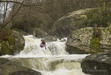
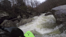
- Big Baboon (V to V+). When you see huge boulders, get out early on the right. The scout/portage requires you to climb up the steep shore to the ledge above 50 feet. I roped my boat up. Climbing was a bit sketchy too FYI. Then head down 50 yards, and downclimb (lower your boat) down into the bowl just past the big top boulder. From there, you can finish walking down a dry channel that was full of wood easily to pop out at the bottom of the entry move. The rest of the scout/portaging can be done at river level on the right. Tony insists that the right is better than the left for the portage, but I can tell you it wasn't fun. Anyways, Tony had the only two descents of this rapid prior to our day, when Jim and Caleb both decided to run it. The entrance is a ramp which is tricky to line up from the staging eddy as it makes a 90 degree turn out of the eddy and has weird curlers. This then lands you above the crux which is a sieved out pillow that needs to be boofed to stay high to boof the ledge. Once below that, there are two more ledges to boof which are much more straight forward. It is big... pictures don't do it justice. And the 2.2' or so that we had was a prime flow for running this rapid.
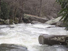
Corner Drop #2 (IV). This drop is immediately below and starts with two channels going down ramps, either goes, then on the corner there was a boof over a small, but surprisingly strong little hole. This is then immediately above the next rapid.
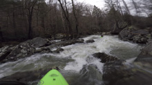
- Wheatward Bound and Down (V). The last of the big rapids, this one has a couple of lines. The whole river drops off a small ledge and then splits into three channels. The left is no go. The middle is a crack that is runnable to medium or high flows, but looked bad at our flow, and the right is a sticky backed up ledge maybe 8 tall in a pinch that at the first descent had multiple swims, one person was pulled out of their life jacket, and another person's boat was folded up on either end. At our flow, right was the best option but safety was set. In the right channel, this only loses half of the gradient. The exit is the 2nd from the furthest left channel between small rocks to drop off the final 7 feet. The furthest left lands on rock. OK from there, you are now reunined with the other two channels... now there is a bedrock ledge, drive far right on it and boof out and over the hole.
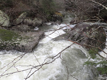
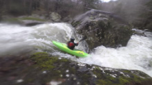
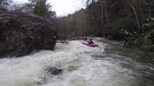
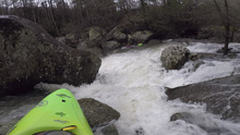
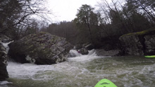
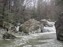
Head High Rocks (IV to IV+). Downstream, the river enters a boulder garden. We ferried across the lip right to left when we saw the right ended in sieves. We then boofed the left over a nice boof. Landing, we then ferried in a tight slot back to the right. Downstream from there, it was read and run.
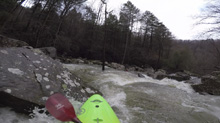
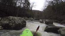
Headroom (IV). A massive flat rock creates an island. We ran to the left of it which was a small double hole. It turns out that the right side of said holes all moves right and that island rock actually is undercut just under headlevel back maybe 8 feet. One in our group got friendly with the undercut. Apparently the first D went to the right of this island and one person was sucked down into a cave, lower that river level, and then paddled out through an open air opening. Crazy. Just go left.
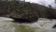
- Boogie (II to III-). This quickly get easier downstream with one more class III boulder garden that we ran left and then far right. Then it gets to be paddle out. Stay on your toes for wood. Also, there are a couple of limestone bands that form narrow channels with heavily undercut shores. It is just class II, but be mindful.
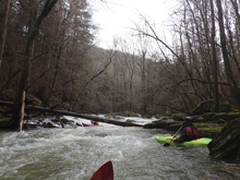
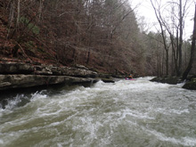
- Confluence with East Fork of the Obey River. The East Obey, known for its gnar and crazy geological features, enters on the left. Water will now be a full river, and probably a little fluffy.
Boogie (II to III-). Most of the boogie is class II if anything. But there were one or two rapids that had a little more kick. One in particular had a pretty powerful ledge hole to boof and it was pretty well river wide.
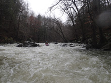
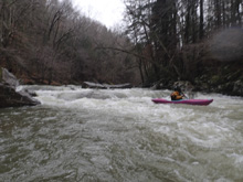
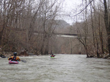
- Walls (II+). Two super pretty (but mellow) rapids form along cliff faces. The first is on the left with an undercut just a foot off the river level, and the second forms on the right. The latter was super cool because the water underneath it was surging up and down and making a super loud thumping noise with each pulse.
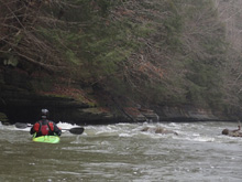
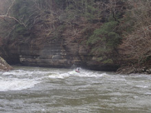
- Surf City (III). Zig zagging in noticeably more deliberate whitewater means you are coming to Surf City. In the entrance, just stay with the flow going left to right and back left. Then, the straight away comes which is a long slide with three amazing waves forming on it... those are Surf City. The top and bottom two are better for surfing.
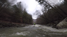
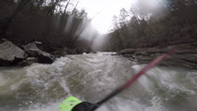
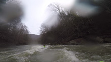
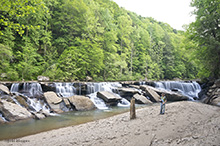
- East Fork Obey River Falls (III-). So really, this one would barely make the right up if it weren't for how dang interesting it is. So, the rapid is just a slide to a 2 foot ledge. Be straight and it is fine. The interesting part is that at low summer levels, this 2 foot drop is in fact a 20 foot drop. There is a sink in the pool that results in the bottom of the pool being 20 feet lower than the river channel's exit of the pool. You would have no idea if you hadn't seen pictures or been there at summer flow!
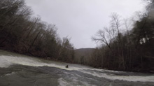
- Pocket (III+). You know you are getting close to the Last Hurrah rapid when you come to these two offset holes, avoid the bottom (left half of the river one) as it is huge. We ran left to right to thread between the two offset holes.
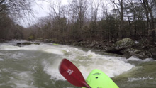
Last Hurrah (IV). Walls get tighter and the river is blocked by large boulders again. The right channel was full of wood, but even if it wasn't, you wouldn't want to run it. The line is the middle (due to the large midstream rock, I guess "middle" is left of center). Run this ledge which slopes right to left. Land and run 50 feet of boogie down to the fluffy hole. It is good to get middle or right for the final hole as the left side has a little rock jut coming off of it.
Take-out: Get yourself to the town of Clarkrange, along US-127. From town, head north on US-127 for 4.3 miles. Turn left onto TN-85 and follow this 5.3 miles down to the bridge over the East Obey. This is take-out. We access the river via a small bushwhack on river right. It turns out there was a road down to the water on the far side on the right.
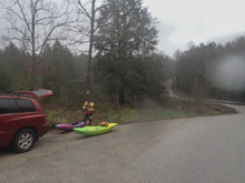
Put-in: Head back up TN-85 back to US-127. Head south on US-127 for 2.5 miles before turning right onto Martha Washington Rd. Follow this for 1.2 miles before turning left onto Todd Rd. After 1.5 miles this T's, turn left again and in 0.3 miles, turn right onto Campground Rd. Follow this 1.1 miles down to the river. Parking is on the far side just 100 feet up the hill. The gauge is on the downstream center pillar. A nice access point is on river right, downstream side.
HTML Comment Box is loading comments...

