Hudson River (Gorge)
| Stretch: | Indian River to town of North River |
| Difficulty: | Class III to IV |
| Distance: | 15.3 miles |
| Flows: | 2.8' to ~8.5' |
| Gradient: | 69 fpm average on Indian, 27 fpm average on Hudson, the crux from mile 6.1 to 9.5 is 39 fpm. |
| Put-in: | Access on Indian River below Lake Abeanakee |
| Take-out: | Access on NY-28 in the town of North River |
| Shuttle: | 12-14.8 miles, (15-20 minutes one-way, some good dirt, the last access has rougher dirt) |
| Season: | Spring off snowmelt, summer and fall off of rain on the Hudson Side. Dam release on the Indian River side Every Tue, Thur, Sat, and Sun between May 1 and September 30 |
| Written: | © 2021 |
-
North East Road Trip 2021: Day 14
The Hudson River Gorge is a classic for the region. And as most class III(ish) classics go, it is a dam release. But our day the dam was not releasing, so instead we had to drive a little bit further down Indian River (where the release comes from) towards the confluence with the Hudson. To our surprise we hit a gate 0.8 miles from the confluence access, so we were forced to put on there. Thankfully there was enough flow to scrap down in about 20 minutes.
Once on the Hudson you start your more or less continuous ride of waves and whitewater. Though early on the rapids are just class II+ with wide open lines, but the continuous nature perhaps makes it a class III- section. Just about when I began to wonder if it would ever get harder a beautiful wall appears in front of you, the river bends left, and soon enters the Narrows. The Narrows were the real deal, super fun class III/IV whitewater with big pushy waves and a few big holes. They say that the wave size matches the flow, we had 5.4' on the gauge and I believe that the waves were 5.5' tall at least. After a few mile long rapids the narrow eases off and you begin the paddle out. After a few miles you get to Bus Stop and you realize you hadn't actually started the paddle out and it starts now, and it gets much flatter. This ending was really the only downside of the run in my mind. It dragged on. It would be a bit of a downer to do regularly if this was your local playground. The current was moving, so that is good, but it was flat. Just a sour note to end the nice day on.
As I said we had 5.4' which I thought was a great flow. I believe the dam releases are more like 4' but any recent rain will bring water into the Hudson side and bring it up naturally (all our 5.4' was natural). I would say that for the Narrows this was maybe a bit more than medium and could see people getting into to trouble way out away from the roads in the Narrows. Apparently when Indian River has water, it forms a nice class III+ testing ground which weeds out anyone that is truly not ready and lets them walk out at the confluence rather than venturing downriver and away from access points.
Mi -0.1:
- Otter Slide (IV+ to P). Above the put-in is a slide that packs a punch and can be run at lower flows apparently, down the right I guess.
- Indian River (III). I did not get to paddle this as it wasn't a release day, but it is class III so I have read.
- Hudson and Cedar River Access. This is where we put-in as the gate was closed. I am not sure when they open it. But this was an established access point with parking for maybe 8 or 9 cars. It was 0.5 miles of river to the confluence.
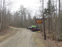
- Hudson River Confluence. The Hudson enters on the left.
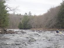
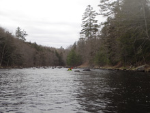
Boogie (II+ to III--). The first 3 miles are filled with boogie with plentiful catch on the fly surf waves. It is very pretty as the walls come down to the river and have cool erosion undercuts at places. Don't worry, they aren't hazardous as the river is huge and there is no reason to be next to them.
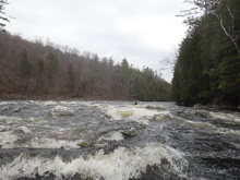
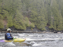
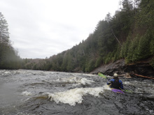
- Wall (III-). A wonderfully pretty wall appears in front of you and signals you that the Narrows is approaching. The rapid upstream is straight forward boogie, but the river is beginning to get narrower and steeper so it feels a little bigger.
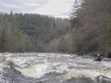
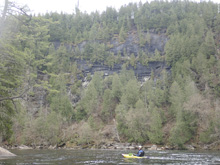
- Pre-Narrows (III-). OK, this feels different for sure. Just below the wall as the river bends left. Bigger waves, we kick flipped them. But still straight forward down the middle
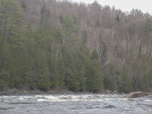
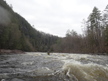
- Narrows (III to IV). The river bends back right and you are in much bigger waves, much more chaotic whitewater. We ran center and moving right to avoid the compression of the outside of the gradual right bend. This rapid lasts about a half mile.
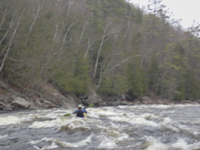
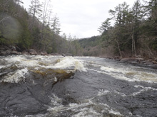
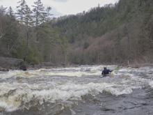
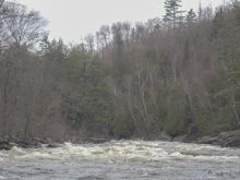
- Mile Long (III to IV-). Another fluffier but easier rapid. It was all read and run for us so I don't remember specifics. Just make sure to avoid the holes! Realistically, this rapid only lasts for 0.5 miles unless it includes the next rapid. I remember a short lull between them, but perhaps they don't separate them.
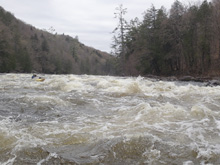
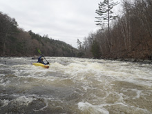
- No Name (III). This rapid is where the river fades to the right and then turns to the left. Diane caught a great surf wave at the top and I turned around and she was WAY behind me as this river really moves. I remember some holes in the bottom half once it turns left, on the right. So we stayed generally on the center
- Givney's (III to IV). This one surprised us. We drove hard center moving left and avoid some large midstream holes. I think it was easier if you stayed right, but Diane was looking for excitement and wanted to flirt with the unknown more.
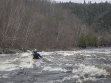
- Peters Out (II). It steps down and you think you are paddling out. But the 3 mile paddle out counter hasn't in fact started yet.
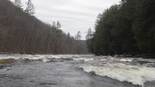
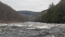
- Railroad: Pass under the railroad bridge and pick up the Boreas River which enters on the left.
- Bus Stop (III-). On a left hand bend, the river sweeps out to the outside and a large hole that extends for half of the river. You can avoid it easily on the left, or at out flow there was a window in the middle of it which we ran. Just don't end up on the far right as it did pack a punch.
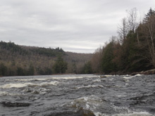
Paddle Out (I). OK, now you can start your 3 mile paddle out counter. It is mostly flat with an occasional riffle. But at least the current moves the whole way. But it does drag on a bit for sure...
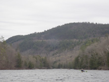
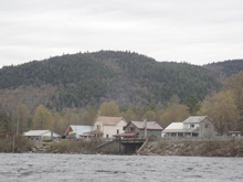
Take-out: On the north west side of North River, a town on NY-28 is a large pull off and picnic area. This is take-out.
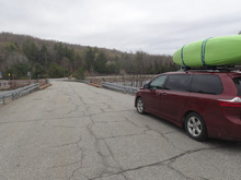
Put-in: Continue upriver on NY-28S for 10.9 miles. After the bridge over Abanakee Lake, turn right onto Chain Lakes Rd. Follow this for 1.3 miles to the upper access. Or 2.5 miles for the lower access on Indian River. Here is a gate which may prevent you from going further. But the road changes names to Gooley and gets rougher and goes an additional 0.8 miles to an access on the Hudson itself.
HTML Comment Box is loading comments...
