Hollyford River (Marian Creek Run)
| Stretch: | Marian Creek to Gunn Camp |
| Difficulty: | Class IV to V |
| Distance: | 4.5 miles |
| Flows: | ~250 cfs to ~750 cfs (Visual only) |
| Gradient: | 128 fpm average (first gorge is 201 fpm and the second/third gorge is 309 fpm) |
| Put-in: | Lake Marian parking lot at the swing bridge |
| Take-out: | Gunn Camp or earlier |
| Shuttle: | 7.0 km on good dirt road |
| Season: | Year round, can be run at base flow |
| Written: | © 2017 |
| Featured in A Wet State #125 | |
New Zealand 2016/2017 Day 17:
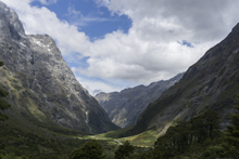
This run is called a New Zealand classic in the book. Those are some big words and should put this run on everyones list. I agree. So do a few friends who have since done this run, it is indeed a classic section of river that belongs on your tick list if paddling in NZ. It is also a great excuse to head further south, into Milford Sound which is less than an hour drive from this river, and that drive is one of the most scenic that we experienced on our trip. So... yea, do the run.
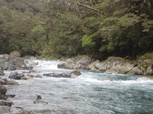
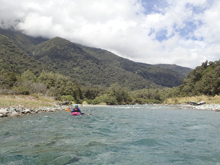
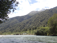
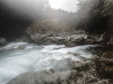
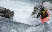
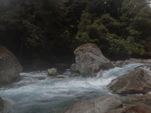
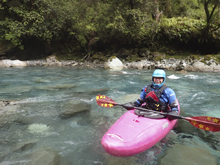
We had low water, base flow essentially. I actually thought this was a great first time flow for us, since neither Diane nor I had done the run prior. The run starts off with a brief section of mellow before you hit the first gorge which is the longest on the run. There are about 10 rapids, ranging from class IV+ to V, though mostly IV+ at out low flow. We portaged one that needed more water in the first gorge. The nature of the rapids are boulder gardens and a lot of blind corners, so if you don't know the lines scouting will be plentiful. And then the river opens up. It turns out, locals just bushwhack up 100 yards to the road here. That is because of what is downstream. Downstream you get to two short gorges, the first has a fun rapid or two before it again opens up, this time for only 200 meters before the third gorge. The book made it seem like this third gorge would have one portage. It turns out every rapid in it is a portage, unless you are a A+ gamer, have high flow, and balls of steel. Even for them, I do not believe there is a complete (no successful) decent of the 3 rapids within the gorge. The problem for us was that thinking there was only one that was a walk, we went high as the book instructed for the portage and dropped back down after the first rapid. Only to have to go back up high and drop down again. And finally a third time. We were exhausted by the time we finished the portage for sure. So, if you find yourself here, I would do what the locals do and just lap the first gorge, or at a maximum do the second gorge and then hike out to the road between them.
For note, we planned to hitch this day. So we went to take-out at Gunn Camp and got permission to park there. Then stood on the road. No one came by as it was still relatively early. We were expecting rain later in the day so we wanted to get off before the river might spike. After a while I saw a person walking out of a cabin and asked them if they would mind driving us 6 km up the road and they thankfully obliged.
We had hoped to end the day with the downriver short section of class IV+ on the Hollyford at Moraine Creek. But after portaging the third gorge we were tired and decided to scrap that idea, and instead go to Milford Sound and be tourists. The plan was to crash at the "Rosco's Milford Sound Kayaks" guidehouse called the "Paddle on Inn." Our Aussie friend Jo had put us in contact with a few of the guides, and they invited us out, so that was awesome to have a place to crash for the night! Thanks guys! With a large amount of rain and wind on the horizon the guides were confident that the following day their work would be canceled and that the Cleddau would run. So we drank and enjoyed ourselves that night with our new friends.

Previous: New Zealand 2016/2017 Day 16 - Shotover (Gorge)
Next: New Zealand 2016/2017 Day 18 - Hollyford (Falls Creek)
Mi 0.0: Mi 1.0:
- Entrance (IV- to IV). The gorge starts with a mellow rapid. The class II+ builds to class II and then there will be a small horizon. Follow the water down the right. And then follow the main channel down the middle around the corner. You will quickly figure out this river is about big boulders that block your view, necessitating frequent scouting if you don't know it. The rapids are evenly spaced with no breaks throughout the first gorge.
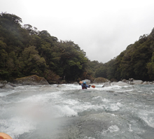
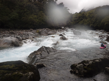
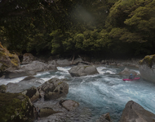
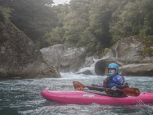
Second (IV- to IV). The second rapid was best down the far left which led to a fun boof down the far left side.
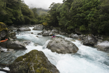
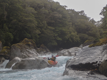
Cushion (IV+ to V). This is one of the bigger moves of the run. A busy ramp bends to the right and hits a wall, forming a big boily eddy and cushion which forms a hole. You want to run it right to left to hit the outflow.
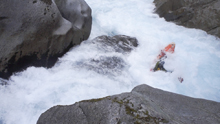
Forth (IV+). The next rapid was a long one that is worth looking at from the left. We entered along the main left channel. The rapids starts with a ramp before bending back to the right. Once bending to the right there are 2 ledges to boof anywhere.
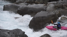
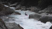
Boogie (IV). The fifth rapid in here is just boogie but it was a little blind from above. Just boof the small hole in the only main channel and then exit through the small holes that you can boof over.
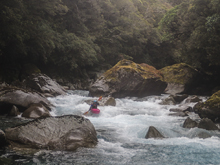
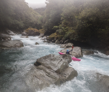
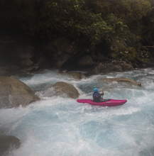
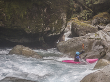
Junky (V). This one was really junky. No clean entrance lines led to a congested, sievy exit. We need a probe unit to see if the left entrance and right exit went. We portaged with some effort on the right. Immediately downstream was an exit rapid that also looked dubious as it would melt you into a crack. With more water I think you could drive over the rock and avoid the fade. We put-in and ferried out in front of a log.
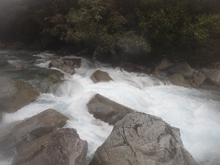
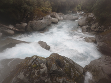
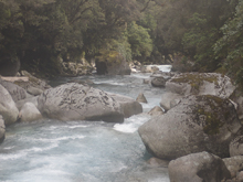
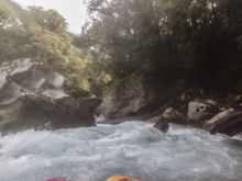
Huge Sieve (IV). I don't know if any sieve has ever deserved that name more... The rapid is pretty mellow leading up to it, but then the water slopes and falls under a house sized rock, more water than you would think get swallowed. Scout from the left to make sure you are aware of just how much water goes away. Exit boofing far left.
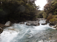
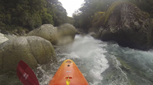
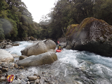
A Little Junky (IV). There was a rapid that had a junky middle to it, so we followed a side channel down the right which was clean. There may have been a sweet boof on the left, but we think it needed more water.
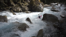
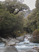
Best Rapid (IV+ to V). The biggest clean rapid of the gorge last for about 100 yards. Scout on the left. We ran down an s-turn on the left which then leads to a series of ledges that you want to boof, the first one has a punch hole. Below, it mellows for 100 ft before a rock jumble presents itself. We boofed center moving to the left channel and then threaded the needled between rocks.
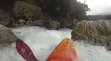
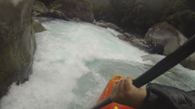
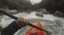
Slot (IV). The exit of the gorge was a congested rapid that had a mellow slot to boof far left of the main channel. I bet a main line went too but we were tired of scouting at this point.
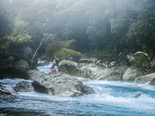
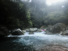
- The next mile is mellow and passes by quickly. Just class II. As I say in the description, I would consider walking up to the road here or at a minimum before the third gorge unless you really want to portage those rapids.
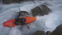
- Entrance (III). The next gorge has a mellow entrance ledge to get things going. Run left or center.
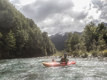
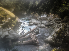
Crux (IV+ to V). The crux of this gorge is best scouted on the right. We entered far right and boofed into a narrow slow. The water then quickly moves down into a house sized rock. Some of the water goes under it, some went into a tree. We had to head far right to avoid the tree.
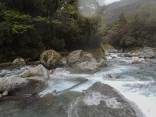
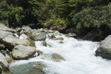
Around the Corner (IV). Around the house sized rock was a small rapid that was a little junky and then led to a small ledge that we ran far right.
Exit (III to IV). The exit was a sweet fade boof that we ran in the channel to the right of the midstream boulder. I am not sure if the left side went. Couldn't scout that side!
- Again, consider heading up to the road before the next gorge... If not, I would consider taking a look at the first 1 or 2 from river left and then heading to the right, get to the top of the "cliff face" and portage high for 200-300 yards. Our mistake was coming down to scout each rapid and then heading back up to the top again.
Entrance (V+ to U). I know one or two of the rapids in this gorge have been run, though I am not sure if they have actually been done successfully. I was told stories of A+ gamers who got their butts kicked, had heroic rescues, and lost gear... but didn't hear success stories. This one looks ok from the top, a few stout ledges lead to a pinch which has very narrow slots available as it drops some 10 ft all the while the channel is getting split by a midstream ridge of a monolith boulder. It looked very marginal at best.
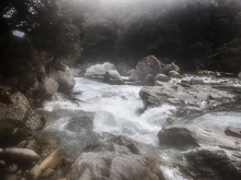
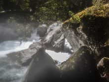
Sieve (U?). At our flow the next one was unrunnable. All the water went underground. Maybe with more water you could crest the sieve in the middle?
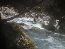
No Channels (V+ to U). The next one perhaps needed more water too... as it was a congested boulder pile for us.
Boulder (II). A huge boulder blocks the river, the channel to the left went I believe. I looked back up from below and it looked ok. But we had portaged around it all the way.
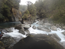
Another Pile of Crap (U?). Just downstream was another pile-o-crap that we portaged on the right again. All of the portaging was on the right.
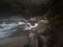
Exit (IV). The exit wasn't bad but did land on a shallow rock off of a 5 foot drop. At our very low base flow it looked painful so we walked on the left. I think with any extra water it would be totally ok to go.
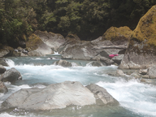
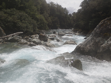
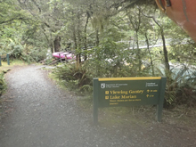
Put-in: From what I would consider the gateway of Milford Sound, the town of Te Anau, take Highway 94 North. Continue up Eglinton Valley for 87 km to the Hollyford River. Just as you get to it, turn right onto Hollyford Track. Turn right onto Hollyford Track and continue for 1.1 km to the Parking area for Lake Marian.
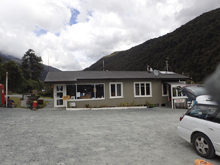
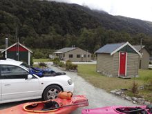
Take-out: Continue another 7.0 km downriver on Hollyford Track. You will get to Gunn Camp. We parked here to access the river. We asked permission as well. Alternatively, you could park on the side of the road to avoid the third canyon just a km or so up.
HTML Comment Box is loading comments...

