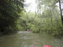
Henderson Creek
| Stretch: | Liberty Hill Rd to Laurel Snow State Natural Area |
| Difficulty: | Class V (maybe at low flow it is IV-V) |
| Distance: | 6.1 miles to the top of Richland, 1.25 for Richland Creek, 1.4 more to the lower take-out |
| Flows: | -7" to +5" on Henderson (0' to 1.6' on Richland). |
| Gradient: | 131 fpm for Henderson (max of 280), 174 fpm for Richland, and 68 fpm for the paddle out |
| Put-in: | Culvert on Liberty Hill Rd |
| Take-out: | Laurel Snow State Natural Area or the Back Valley Rd Bridge |
| Shuttle: | 15.4 miles (~20 minutes one-way) |
| Season: | Winter/Spring from rain... |
| Written: | © 2017 |
| Featured in A Wet State #129 | |
What to say about this run...? Hmmmm.... Well, when we first moved to Knoxville, I was told about this creek as a classic of the Plateau. It came up several times with several different people. But the funny thing was, it was only Knoxville or Plateau people who mentioned it. It seems that this run is a little known gem to the North Carolina paddlers. A suspicion that was also evident when I posted the video for this run on Facebook and it got 100 likes in a day and numerous surprised comments about the quality of the run. So, let me bring other people in on the "secret."
The run is good. Really good. Once you get through the paddle in, you are greeted with 5 miles of rapids that ebb and flow between class IV and V. The paddle in does take about an hour and does consist of two portages. But once through them, you quickly forget about that as you are welcomed to the steep section of the river via several fun boofs and epic slides. Below the slides, the boulder gardens get tilted on edge for the steepest section of the run. The next section has Spoonman into Fire Escape into Cover Shot. Looking back upriver will make you faint with vertigo. At the high flow we had, Fire Escape looked very very dubious. V+ for sure. Below, things mellow out briefly before you get to the Triple Bridge section which comes at you in a continuous barrage of class IV+ rapids. Finally, you get to Richland... which you may be familiar with as this section is a commonly run hike-up section. However, unlike those hike-up laps, flows will be high! Timber Rattler comes at you first and should be inspected. Below, hole after hole embrace you until you arrive at Weirdo which is a powerful rapid and marks the end of the section with take-out shortly below.
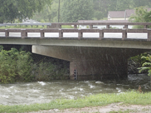
The take-out is at the State Natural Area, and as such they close the gate at dusk during the winter and 7 pm during the summer. As such, if you are planning on being on the water in the evening, it may be prudent to paddle the 1.4 miles further down to the bridge to ensure you are not locked in.
There are two gauges to reference for this run, the take-out gauge is at the lower take-out, on the upstream side of the bridge, river left. We had 1.4' when we set shuttle and 1.25' when we finished. There is also a gauge at the put-in, at the culvert exit. We had 0" on that. These were healthy side of medium flows... fluffy, juicy, etc. Apparently people run it up to 5" on the top but dang that would be scary. A few days earlier, Diane got an after work run while I was on travel, they had -4" at put-in and 0.8' at take-out and thought it was a good lowish side of medium. For reference, we had ~2.25 inches of rain in the previous 24 hours.
Note: At the high flow, I would say that not many of the rapids were actually class V, however the non-stop nature of the run felt 100% class V for sure. And that was with guides. So, if you venture in here, be prepared for full on trip. And give yourself time unless you have a guide. Even with a guide, we were on the water for ~2.5 hours and only scouted twice, and only portaged the two early rapids and Fire Escape. I have heard at lower flow it is a little more manky and starts to become more IV/V.
Mi 0.0:
- Put-in Slide (III). A slide directly below put-in is straight forward down the middle and should be a little scrappy. If it is fully padded you have high flow! Below negotiate some wood and paddle some flat water.
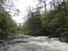
- Class IV Portage (V to P). At low flows it is a mandatory portage. Apparently at high flow it came be run. Not sure where, maybe left.. but there was wood there for us. The portage is easy on the left.
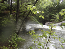
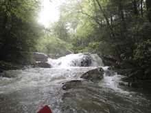
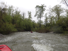
- The river stays mellow with an occasional class III drop. Stay on your toes for wood, we did 2 wood portages in this section. Then, after you paddle through more alpine scenery, you begin to drop into the gorge. Stay on your toes to eddy out right above a river wide sieve.
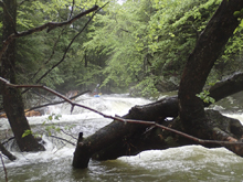
- Sieve Portage (P). The whole river drops into a sieve on either side of a midriver choke rock. Portage easily on the right and seal launch back in. The action begins immediately below! Rapids are one after the other for the next 0.8 miles.
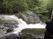
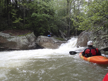
Blind Ledge (III+ to IV). Boof the middle and wind around a blind corner to a nice uniform fan rock to boof off the middle of.
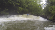
Blind Slide (IV to IV+). Enter the next slide on the right which slides back to the left. You then want to drive right in the slack water before the next tier. Slide down the right. Note, at higher flows the bottom slide gets a big hole. One in our group back-endered. Immediately eddy out right as the next rapid is directly below. If our friend didn't hit his first roll, he may have run it blind!
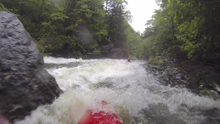
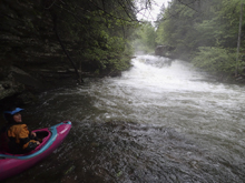
Spinal Adjuster (V). This thing was faster than I expected! Scout on the right. The drop starts with a sliding s-turn which slides you through two large reactionaries. Stay upright as you need to drive hard right for the final crux tier. In the exit, you want to be right of a rooster in order to drop through a chute and softly transition onto the rock slab below. The left lands in extremely shallow water though apparently at lower flows you can drive to extreme left and get a nice line. You can also portage the lead in and slide in before the exit if so inclined. I am not sure what a complete portage would look like.
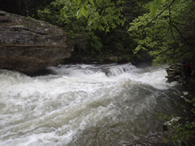
Little Triple Drop (IV). A short section of boogie leads to this drop. Three tiers, the first can be run right and an eddy can be caught to inspect the second and third tier. The bottom is the important part. Stay extreme left on it to avoid a rather mean hole that extends the rest of the river. You can boof the middle tier anywhere. Below is a short section of boogie which leads to the crux section of the run.
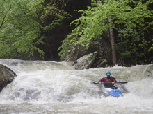
Ferry Left (IV+ to V-). Drop a small, not great looking slot on the far right. This lands in a small eddy. Then, ferry out through the middle of the rapid, behind exploding water bouncing off of rocks to drop a small slot on the far left. Below, is a fantastic boof to exit this slot. You can eddy out before it to inspect. Drive to the left for the shoulder boof, so good. Then, the rapid boogies for a minute, start left and work right to boof a nice ledge pretty far right. Eddy out immediately on the right as Spoonman is directly below. One of the more urgent eddies to catch between rapids for sure.
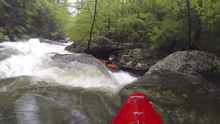
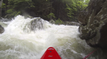
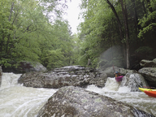
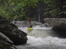
Spoonman (V). This rapid is big for sure. Scout left, portage easily on the right. The rapid has 3 main cruxes. The first is the biggest but goes better than it looks. Drop through the slot on the right of the main channel and boof the spoon shapped rock and plug through the big hole below it. Then straight out and punch two more tiers, each with holes, working right by the bottom one.
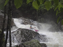
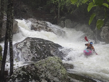
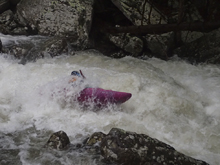
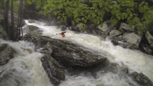
Boogie (III). One small slide and then you will go around a corner. Choice, eddy out above or run the next small drop on the right before catching the 1 boat eddy on the left to scout/portage Fire Escape.
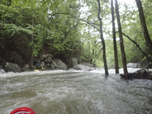
Fire Escape (V to V+). At our flow this thing was huge. I had no inclination to want to run it. Several sieves and pin spots are present in the rapid. I will let you inspect it for yourself. I also know you can put in after the top two dangerous tiers and just run the bottom two safer tiers.
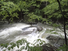
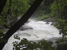
Triple Drop AKA Cover Shot (IV+ to V-). This rapid put a bigger smile on my face than any rapid has in quite some time. I was told about the top two tiers. Boof down the right. But the third tier was not mentioned. So as I boof far right and then shoulder boof off the left of the right channel, I panickily look around to see if there is Caleb in an eddy, seeing no one and having got no beta, I assume that the main flow must be the right path so I then go far left which rounds a blind corner and drops through a sluice with a soft hole at the exit. This drop is featured on the cover of Kirk Eddlemon's "Whitewater of the Southern Appalachians - Volume 1: the Plateau."
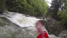
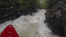
- Polebridge Creek enters on the right 100 yards below and signifies the end of the super steep section. But, don't celebrate as the Triple Bridge section is still downstream!
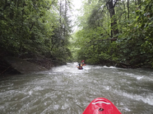
- Triple Bridge (IV+ to V). You will feel you are coming up to this before you get there, but it is marked by foot bridges just above the river. This section was super busy, pushy, and punchy at our flows. I found this to be more technically demanding that the upriver section at our flows. Eddies were very infrequent (or were insignificant for a 5 person group) so we ended up just running a lot of drops one after the other with no beta. I want to say the section lasted for a quarter mile or so. Under the bridge there was a big boof to curler against the right wall. I think this is only runnable at high flows. We then ran a big uniform ledge far left though at lower flows there is a flake that you can run right of center. Downstream I was told "follow close, some of the lines are less obvious" as we drove right into a small side channel and began boofing down a stair step drop. I bet at lower flows you can go somewhere else on that one. I think there may have been one or two more in there, I honestly just can't remember.
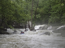
- Old Dayton Reservoir (IV). The remnants of an old dam are run in the left channel. We went right of center. Below, is the start of Richland Creek which is commonly run by itself via a short hike. See that write-up for the remainder of the rapids.
Take-out: From Highway 40, head south on Highway 27. As you enter the town of Dayton, take Walnut Grove Rd (just after the Walgreens). After 0.8 miles take the left onto Back Valley Rd. Continue for 0.7 miles before turning right to enter Pocket Wilderness Rd towards the Laurel Snow State Natural Area. This is a dirt road but was in good quality. Follow 0.9 miles to the end. Note, this area closes at 7 pm so if you think you may be later, instead continue on Back Valley for an additional 0.3 miles to the bridge. There is parking on the far side.
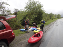
Put-in: Head back out to Back Valley rd and turn right. Follow this for 1.3 miles to TN-30 where you will turn right. Climb up the ridge for 8.4 miles. As you come into Summer City, turn right onto TN-337 (Summer City Rd.). Follow this for 4.4 miles. At the 4 way intersection, turn right onto Liberty Hill Rd. In 0.3 miles, as the road dips ever so slightly, look for the creek on the right. The culvert is actually hidden a bit from the road when the leaves are out... there is parking on the shoulder of the road and a trail down to the river on the downstream river right side.
HTML Comment Box is loading comments...

