Green River (Upper Pre-Helene)
| Stretch: | Tuxedo Powerplant to Hungry Creek |
| Difficulty: | Class II to III+ |
| Distance: | 3.85 miles |
| Flows: | 7" (100%) to 14"+ (200%). Check out Boating Beta for flow projections here. |
| Gradient: | 40.5 fpm |
| Put-in: | Access at Tuxedo Powerplant |
| Take-out: | Trail just upstream of Hungry Creek |
| Shuttle: | 9.2 miles (20 minutes one way) |
| Season: | Dam Release, Year Round! |
| Written: | © 2014 |
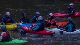
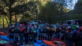
I am going to keep this one short and sweet. I did this run this year as part of Laura Farrell's inaugural "Women Taking Charge - Green River Takeover" event. Diane and her mom were paddling, so I offered to take some pics and video to contribute to their event.
The run is a great beginning run, mostly class II but with two larger rapids that should be inspected. The major downside of the run is that you have to hike out of the canyon back up to the car at the end of the day... unless you have the skillset to continue on down through the Narrows. In my mind that makes this section a total downer. But on the plus side... 300 days a year of water makes this a dependable and near to Asheville option for folks to boat... so with that, it is run quite often.
As for the event, it was impressive to see so many women (55 on the Upper and 25 on the Narrows) come out to paddle and spread the spirit of their friend, Shannon Christy. If you are interested in joining the ladies on one of their events, check out the facebook page for "Women In Charge- Green River Takeover."
2024 Note: This write-up is from pre-Helene. The reports are of drastic changes. I will try to get updates as they become available.
Mi 0.95:
- Bayless Boof (III+). There is a sneak line on the right down the easier slide, or the main line is far left. Careful if you end up blundering into the center, there is a pothole and a piton rock in the landing.
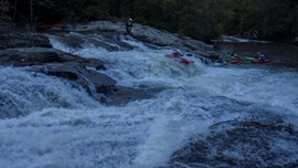
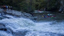
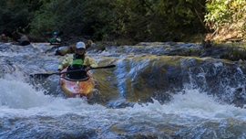
- Pinball (III). A shallow rapid that is surprisingly hard to boat scout. Follow the main flow of water. Start in the middle moving left and finish on the steep drop on the far left. It is ok anywhere... but it will be rockier.

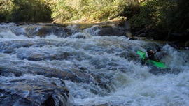
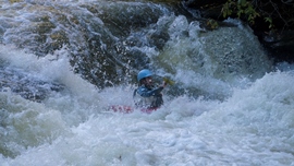
For more details on the run, see the AW write-up...
Take-out: Take-out: Take exit #53 for Upward Rd off of Highway 26. Follow Upward rd for 1.8 miles. Turn right on Big Hungry Rd and follow for 0.5 miles, turn left to stay on Big Hungry and follow for another 0.3 miles and then again turn right to stay on Big Hungry. After 0.5 miles, turn right on Gallimore Rd and follow for 0.6 miles to the gated lot. (You need a key to park here, so hit up your friends that live nearby. The trail down to the river is ~0.6 miles down the road then trail then washout trail across the road from the parking area.
Put-in: Go back out to Highway 26 and head south for 0.8 miles. Take exit 54 for US-25 / US-176. Follow this for 1.8 miles to exit #7 for US-176. Turn left on US-176 and follow for 1.9 miles before turning on the small, Pot Shoals Rd. Follow this for 0.7 miles to the bridge over the river. Parking is on the far side.
HTML Comment Box is loading comments...
