Green River (Dries Pre-Helene)
| Stretch: | Lake Summit to Pot Shoals Road |
| Difficulty: | Class III+ to IV+ |
| Distance: | 1.35 miles |
| Flows: | Look for the lake level to be between 100.6 and 100.11. 100.8 was a medium flow. You wouldn't want much higher unless you have done it before and were aware of wood situations. Check out Duke Energy's current lake level gauge. Also you can get the one-hundreths of the gauge by calling 1-800-829-5253 then pressing 3, then 1, then 1 again. |
| Gradient: | 152 fpm |
| Put-in: | The base of the dam at Lake Summit |
| Take-out: | Access at Pot Shoals Road |
| Shuttle: | 1.2 miles (3 minutes one-way) |
| Season: | Dam spill. Rarely. After heavy rain or when powerhouse has maintenance |
| Written: | © 2017 |
| Featured in Videos A Wet State #133 | |
After our morning on the Lower Rocky Broad, we headed over for the seldom running, damn near elusive, Green River Dries. The wind had really begun to pick up and the cold was biting. But, this section of river is so rarely in that no-one in our group had ever had the opportunity to run it, despite having been boating on the other Green River sections for over 20 years in one of our groups case.
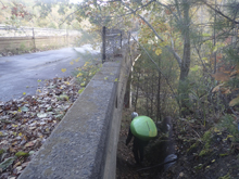
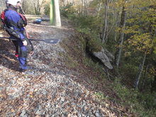
You park at the bridge over the river, after descending down to the water pipe, you cross under and continue up. Near the base of the dam, you descend down to the river. I have read reports of people getting skunked on trying to find a trail down and giving up and going back to near the bridge. The way down is steep, I won't lie. But we were able to carry our boats ourselves and none of us are billy goats.
Once on the river, you immediately get to brush choked small rapids. Follow the main flow and keep your eye on the next eddy at all times as wood is always present. Quickly, you get to the first good rapids, the slides that are just upstream of the bridge and below it. These are good read and run, and can have a few sneaky holes if the flow is high. I found at our flow, 100.8 or so, that they were a mix of feeling low and still stern squirting one member of our group. Below, you enter another brush choke. Ideally you would go far right, for us there was a tree blocking it so we went in the right channel, which is actually the bigger one. This ends in a pile-o-crap rapid that although doable, was not pretty. The left channel was clean. Below, it quickly goes into a slide with a large hole in it, stay far left. Below is another small slide with smaller hole. Then, a junky rapid that you want to hang on a boof far right on. Careful as immediately downstream is an ugly undercut. Below this things mellow out until the slides, ledge, and small falls directly above take-out.
The run is short, but felt longer than 1.35 miles for us sorting it out ourselves. The rapids themselves are probably only class IV, I have read at lower flows they are class III. But the brush gives the rating an extra half step in my mind. You wouldn't want to be an aspiring class IV boater going in here without folks who know the run. But if you are up to it, and it is running, it is certainly worth doing. By no means classic, but worth doing.
2024 Note: This write-up is from pre-Helene. The reports are of drastic changes. I will try to get updates as they become available.
Mi 0.0:
- Brush (III-). Directly below put-in, head down the far right, with the bulk of the water. As you exit the brush there is a small rapid that we ran down the left.
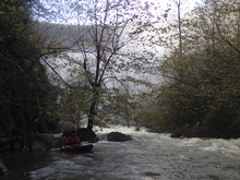
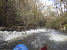
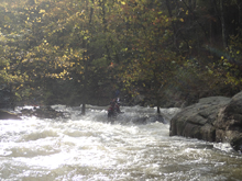
- First Slide (III to IV). The first slide started down the left before moving back to the center. The bottom had a good size hole in the middle, but you can drive right to avoid the worst of it, kind of like Powerslide on the Narrows, but less steep.
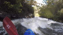
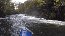
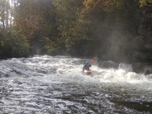
Second Slide (III to IV). The second slide is long and low angle. There is a flake in the middle that you want to avoid, either right or left. Either side is ok, as is the exit.
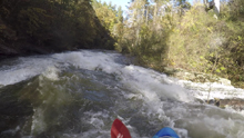
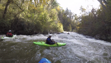
- Mank (IV to IV+). The river splits, the right has more water, but it turns out the left is where you want to go. But for us it was blocked by a tree. The right is a fun boogie set that then exits through a bolder choke that is hard to have a clean line through. The left has a few nice clean slides to get through that part. We eddied out at the lip, a few gave the right a go and none made it look good. So Diane and I carried the 10 feet to the left channel to run the clean side.
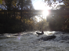
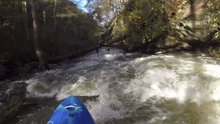
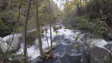
Hole (III to IV). Immediately downstream is a slide into a meaty hole. Being far left and straight (or pointing a little left) is the answer. I mean on the shore far left. Hugging it. It is possible to get out at the lip on the left, but it is tough. One in our group portaged right with difficulty.
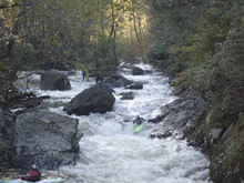
Blind (III+). I hoped out to scout the next one as it rounded a blind corner behind a big rock. It was actually totally ok, just a ramp to start left on and then turn back center for a low angle hole that as long as you hit straight, you will go right through.
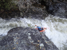
- Hold the Boof (IV to IV+). Immediately downstream is the junkiest rapid on the run. We booded the entrance far left and then immediately eddied out on the right. Jim gave it a quick scout. The line was to boof the far right, and to bring your boat left to right and hang on the stroke. That way you land in deep water rather than a pile of rocks... which I did. Note, immediately downstream is a rock wall that is dangerously undercut.
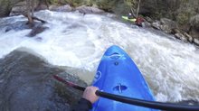
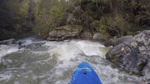
Boogie (III). Just a smidge of boogie which makes this section pass quickly.
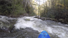
- Slides (III+). After some boogie, you get to some low angle and mellow slides. These will lead to the lip of Exit Ramp, which you can scout from the left.
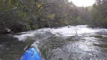
Exit Ramp (III+ to IV). Viewable from the powerhouse, the line is anywhere... though for us there was wood in the right and underwater in the right, so we dropped far left with left angle and momentum.
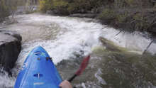
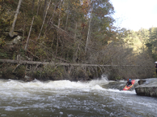
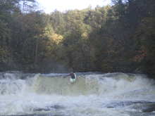
- Powerhouse Falls (IV+). Scout from either side, right may be easier. The line is down the middle, directly off the middle or even left of middle of the flake ledge. Boof it as it is not deep. At lower flows I believe people portage it.
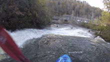
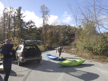
Take-out: Heading south on Highway 26 from Asheville, take exit 54 for US-25 / US-176. Follow this for 1.8 miles to exit #7 for US-176. Turn left on US-176 and follow for 1.9 miles before turning on the small, Pot Shoals Rd. Follow this for 0.7 miles to the bridge over the river. Parking is on the far side.
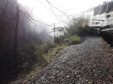
Put-in: Go back up to US 176 the way you came and turn left. Cross the river and pull into the parking area on the right on the far side of the bridge. Park there. Walk across the footbridge back to river left, go down the upstream side of the bridge. Walk downriver 10 yards to cross under the water pipe, and then head upstream. It is a quarter mile or so upriver to the base of the dam. We scrambled down just below the dam.
HTML Comment Box is loading comments...
