Gauley River (Upper)
| Stretch: | Summersville Dam to Mason Branch |
| Difficulty: | Class IV+ |
| Distance: | 10.3 miles |
| Flows: | ~600 to ?,000 cfs. Current AW gauge |
| Gradient: | 36 fpm |
| Put-in: | Summersville Dam |
| Take-out: | Mason Branch |
| Shuttle: | 12 miles, 30 minutes One Way |
| Season: | Dam Release, Sept/Oct is Release Season, I am unsure if it goes more |
| Written: | © 2011 & 2020 |
| Featured in Video A Wet State #52 and A Wet State #94 | |
The Upper Gauley is one of the rivers that everyone has heard of. Known for is heavy commercial use as well as its ruckus Gauley Fest weekend in Early October. The river had been on my list for a long time, though as it lies 2,500 miles away from my home the opportunity had never presented itself. This year however, a friend presented the opportunity via his Southwest Employee Buddy Passes. Free tickets to the East Coast?!? Who could say no! So, we hopped on a plane (thanks Southwest!) with our boats (only $50!) and arrived at the Gauley as the first stop on our week long boating tour.
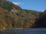
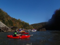
The Gauley is located near Fayetteville, a small town whose ranks swell every weekend as boaters descend from all around. On our trip we put on late in the afternoon all three days and as such had two days where we did not see a single other group on the water. Certainly this is not your typical experience, but it was welcome none-the-less. It also helped that it was the last release for the season, held late in October as temperatures had begun to drop. Speaking of which, the fall colors out in West Virginia were amazing, possibly the highlight (for Californians such as ourselves).
The river itself is interesting, there are a whole bunch of class III rapids, a whole bunch of flat water, and 5 class IV to IV+ rapids. Perhaps as flows go Richter the rapids become more class IV-V, but certainly there are no class V at flows between 2,300 and 3,200 cfs. With that said, Pillow Rock will still get your heart going. Also, don't take the river too lightly as the character of the rocks makes for a lot of pin spots and sieves. Seemingly every year several commercial rafters die on this section of river. However, if you are feeling up to it, I would highly recommend taking a play boat. The play on this run is phenomenal. There had to be at least 15 spots on the river that are better than any play spot in California. I could see with a run like that in your backyard how you could get really good at playboating and have fun while doing it.
One final interesting thing I learned while reading signs at the put-in... apparently it is common practice for the Army Corps to name dams after the nearest town... in this river's case, the that would be the town of Gad. However, after consideration they decided against the name "Gad Dam" and thus chose the next nearest town... Summersville. Interesting tidbit huh?
Mi 0.9:
- Initiation (III+). An easy rapid, just don't be tempted to surf the waves at the top as they will typewriter you into a sieve. Just stay left of center. There are plenty of other better waves to surf downstream.
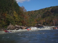
- Insignificant (IV to IV+). The first of the bigger rapids, as long as you make the entry move, the rest will be ok. Start center and drive hard left down the tongue to avoid the big hole below. Once there, read and run your way through the bottom.
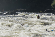
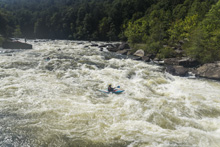
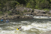
Boogie (III to IV-). There is a lot of fun boogie between Insig and Pillow Rock, in typical rafting fashion they all have names too. Maybe next year I will try to take some pics of those rapids and update the website some...
- Pillow Rock (IV+). The biggest and most intimidating rapid on the run. In reality though, it has one move that really isn't that hard. Start left and drive right as hard as you can about a third of the way down and continue driving right. If you hit the pillow, brace or surf off of it. Eitherside of the rock below is good to go...
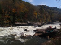
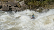
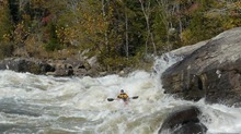
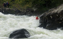
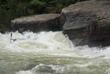
Meadow Creek enters on the left in a big flat spot just above Lost Paddle.
- Lost Paddle (IV to IV+). A three part rapid. The first part has a right line through some waves or a left boof. Both are fun. The bottom has the main line down the center (be aware it is shallower than it looks) but also has some other lines down the left that are run. The runout is easy enough with several lines leading down to a nice ender spot. There are eddies all throughout to pick your way down through.
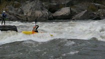
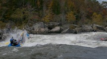
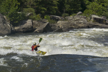
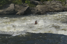
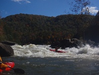
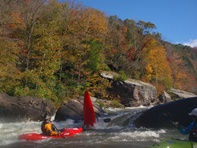
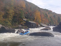
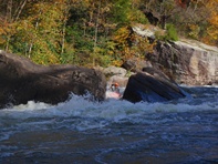
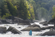
Some fun inbetween
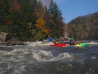
- Ship Wreck (III to IV). An easy rapid, but very dangerous. The rapid leading down to the massive rock is class III at worse, then there is a wide open line on the right of the house size rock that is badly undercut and caved. Or you can go left exposing yourself to danger... it is still only a class III move though... if worried, just go far right and it is safe and easy.
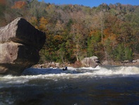
- Iron Ring (IV to IV+). Enter center-right and drive right. There is a big hole in the center at the bottom. Easy enough if you enter correctly.
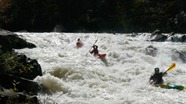
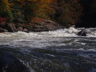
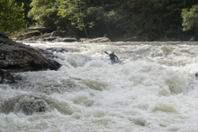
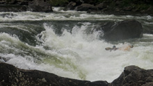
- Sweets Falls (IV+). Several different lines. The normal line is left of center down the ramp into the wave hole below. There is also a boof line off the left edge of the center channel. Then the big line is the boof line on the right edge of the channel. Mess the right line up and you are going to swim in the pour over hole below... it was big.
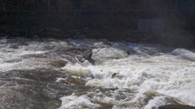
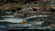
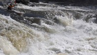
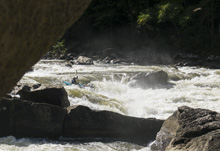
For more details on the run, see the AW write-up...
Put-in: We always were camping at put-in and set shuttle from there. From Fayetteville, go North on Highway 19. Turn left on Highway 129. Follow briefly, cross the dam and turn left on the road leading down the base... it is obvious.
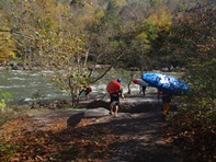
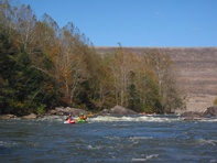
Take-out: Go back up to Highway 129, and continue away from Summersville dam. Continue for 7 miles, amile before you get to highway 39, turn left on Panther Mountain rd (has a sign marked for river access). Follow this down. At one point there is a big fork, stay right (left takes you back out to Highway 129). When you get to the obvious meadow, look for the dirt rd to the left which leads quickly to the private boater parking (in the meadow) or if it is off-season continue straight and just after the hairpoint turn to the left, look for the left turn on a dirt road which will lead you in a mile down to the river level access.
HTML Comment Box is loading comments...
