Frya (Gorge)
| Stretch: | Above Frya |
| Difficulty: | Class IV |
| Distance: | 5.3 (or several more) miles |
| Flows: | 10 to 15 cms |
| Gradient: | 111 fpm average |
| Put-in: | End of the Dirt Road River Right |
| Take-out: | Bridge before the unrunnable gorge |
| Shuttle: | 7.3 miles (20 minutes one-way) |
| Season: | June and July |
| Written: | © 2015 |
| Featured in A Wet State #103 | |
Norway 2015 - Day 13 Morning
Our last day of boating in Norway started with lots of doubt. What was going to be low enough? By now the heat wave was in full swing, shattering the snowmelt that had accumulated over the previous winter and thanks to the record cold May had stayed dormant, with its pent up energy just waiting for the heat to release it into the canyons below. So... things were high. With our general direction of travel for the day being downriver towards Oslo Reiner thought of the plan to check on the Frya. Another class IV run with one must run rapid in it, we had headed off with hopes that it would not be too high. Our fall back for the day would be the Lågen's Hunderfoss section which is a huge riverbed that can take high water (so we suspected).
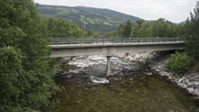
Arriving at take-out the guidebook said to look for the rocks at the base of the bridge to be covered for optimal flow, but for a wave train to not be present. To our surprise the rocks were actually out of water. We had low water. For the first time on the trip... low water. But it also looked like adequate water. So we headed up river...
The run is actually rather long if you head up on the paved road on river left. Instead, our group looked at the map and said, lets skip the few miles of class III at the top, followed by several miles of class II and try going up the dirt road on river right to find an access part way down. This isn't a great idea as we soon found out, but luckily we made it work!
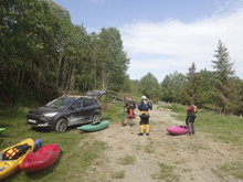
As the dirt road turned to crap, we decided to park (this was after getting a car stuck and barely getting it out). So, on foot... luckily after only a few hundred yards of walking we found a washout down to the river and decided to put on there. This left us somewhere around 5.5 miles including all of the good section near the bottom. The river started off with some class III before mellowing out to class II. Then picked up to class IV which soon found itself in a tight canyon with some powerful hydraulics. Certainly you would not want the easier sections to feel high as these lower sections would get pushy I think. We found the must run and Reiner hoped out on the right to give it a quick look and pass beta along for us to run down and wait for him below. The must run really was not that hard, a slide to boof, easier than many other rapids on the run. But must-runs always get your attention.
With that behind us we quickly found ourselves at take-out. This is one that you do not want to miss. Take out on the right, the river then slides down into the entry of a drop with a bridge over it that has two very large drops... maybe runnable at low flow, but both are roughly 30-40 feet tall and boast big hydraulics at even a low flow for the river. This is why you don't take out at the main highway bridge.
With that run underneath our belts... and plenty of day left, we decided to still give our plan B option a try and check on the Lågen a go. And that turned out to be a great way to end the trip...
Gauge Rocks: Look downstream to the highway's bridge, you want the rocks just upstream of the piller to be covered, but not forming a full wave train. This was lower flows.
Last: Norway 2015: Day 12 Continued - Sjoa (Play Run)
Next: Norway 2015: Day 13 Evening - Lågen (Hunderfoss)
We put-in at the end of the drivable dirt road on river right. This is not the highest put-in, at the top on river left there is a 30 foot waterfall with questionable landing before things get easy for many miles.
Mi 0.2:
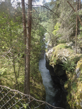
- Cool Gorge (II to III). Just below put-in the river enters a super scenic gorge. I don't remember any specific rapids in this section, other than one little rock slide that had a ramp to run. But that was only class III at most.
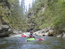
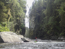
- Class III to IV Gorge (III to IV). You finally get to the fun "hard" section of this run. After the river starts to tighten up, you know you have arrived.
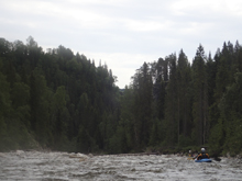
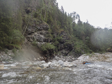
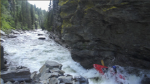
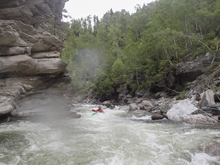
Boulder Gardens (III to IV). The first section is full of boulder gardens. Most were read and run. At one point the river makes a strong left hand turn, just downstream a few hundred yards was a ledge that you might want safety for. It goes off the right hand shoulder, but at high flow I could see a mean hole forming.
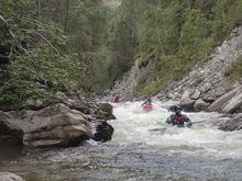
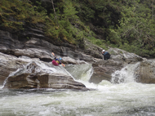
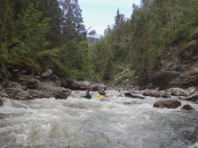
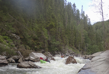
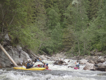
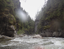
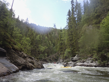
- Bed Rock (IV). You are getting close to the must run when you get to this bedrock section.
Boof Left (III+). The first of the bedrock rapid I boofed off the left shoulder. The river here constricts to just 10 feet wide and has a ridge of rock down the middle. I bet at high flow that rock provides the line.
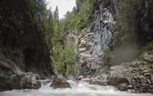
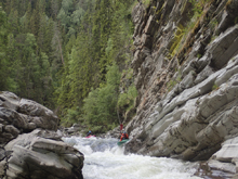
S-Turn (III+ to IV-). Not a big rapid, but a little tricky. The river folds in from the left into a diagonal hole before immediately dropping into another small hole. We entered from the right eddy to move left which seemed to work. Note: the must run is 100 yards downriver.
- Must Run (IV). The must run was scoutable form the right, so Reiner hoped out to give us beta. Down the left... slide to a boof. Was straight forward. At higher flow perhaps the hole gets more legit, but I don't really think it would.
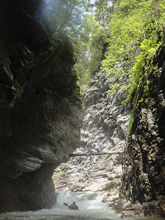
Below, the river mellows out to take-out. Don't miss take-out!
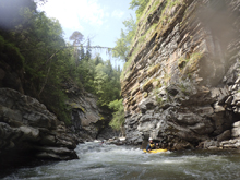
Take-out: From Otta, follow E6 South for 49.1 km, just past the town of Frya you will cross the Frya River. Turn left immediately past it and take an immediate left on the frontage road. This will hit a smaller bridge over the river. This is where you check flows. Follow the road up the river left side to get to take-out. After 600m stay left at the fork and then park at the next fork. Take-out is just 100m down the left fork but this is private land. Scout the take-out so you don't accidentally drop over the next set of drops.
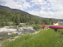
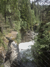
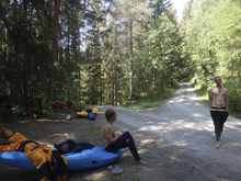
Put-in: We then went back out to the frontage road, crossed the river, and turned right just on the other side. After a big sweeping left turn 1 km in, we turned right and followed this for a long bumpy road, somewhere around 7.6 km until we couldn't drive anymore... at which time we walked. There is a better way on river left using Rd 27, take a look at a map for that one.
HTML Comment Box is loading comments...
