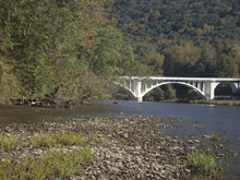
French Broad River (Section 10)
| Stretch: | Paint Rock to Wolf Creek (Or Hot Springs to Del Rio |
| Difficulty: | Class II |
| Distance: | 6.15 miles (or 12.9 miles or 17.55 miles) |
| Flows: | 1,000+ cfs. Current USGS French Broad at Hot Springs gauge |
| Gradient: | 13.6 fpm average for the crux 3.9 miles below Paint Rock (or 10.7 fpm for the entire 17.55 miles) |
| Put-in: | Paint Creek Rd at the TN/NC Border (or NOC in Hot Springs) |
| Take-out: | Boat Ramp just below Wolf Creek Bridge in TN-70 or in Del Rio |
| Shuttle: | 16.3 miles, 30 minutes one-way (or 14.6 miles and 20 minutes one-way)) |
| Season: | Pretty much year round, even in drought years |
| Written: | © 2020 & 2023 |
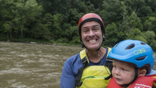
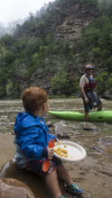
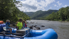
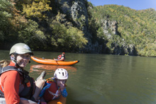
After borrowing an AIRE Super Lynx two person IK earlier this year on the Hiwassee, we decided that was the boat for us for our Aster boating days. The low profile tubes allowed for Aster to play with the water without risking falling out like in the canoe we also tried this year, plus it was easy to control in whitewater with just me paddling in the read, while Diane held on to Aster. So, we placed out order... but due to Covid everything is backordered so it took about 2 months to get here... which means Fall has set in. Bummer! Thankfully, this week we had a late October warm spell of 82 degrees so we made the plan to take the boat on its maiden voyage and decided on the French Broad! My parents were in town visiting, so we invited my mom to join us on the water and borrowed another IK for her to round out the day.
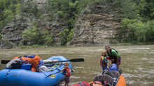
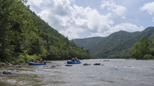
The full section 10 run is 17.5 miles long, from Hot Springs down to Del Rio. However, the first 6.75 miles is mostly flat water, with maybe 2 class II- rapids to break up the paddle. Likewise, the last 4.65 miles is also mostly flat. But the 6.75 miles in the middle, where the river breaks through Paint Rock and the subsequent hill sides between the two valleys, the river is stacked with pleasant class 1 and 2 rapids. That is the section we did as we only wanted to spend 2 hrs on the water. However, if you have more time, or want to overnight, the full run is a great option. For those overnighting, there are established camp sites on Weaver Bend.
For the 6.75 miles in the middle, at 2,800 cfs we found that most of the rapids had ways to avoid the meat and keep it a class I experience if you were so inclined. Though perhaps Lower Brush Creek is an exception and due to the sievy rocks below the rapid, perhaps always maintains a class II- feel. There are two ledges to run that offer a choose your own adventure, lines ranging from class I to II and I could see at high flows, holes could form here that you would want to avoid. On both the big ledges, far left looked like it would be class I at all flows though.
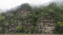
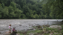
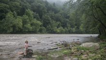
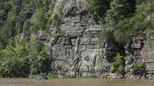
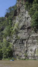
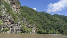
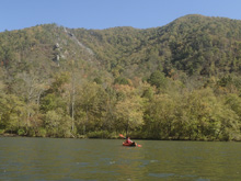
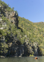
For me though, the rapids on this run were easier than I had hoped. I was hoping for more action, like the Hiwassee. But instead found just a fraction of the action. However, the surprise on this run was the scenery. The Paint Rock bluff are at the start is spectacular and there are a few more rocky outcroppings downstream at river level and high up on the mountains surrounding the river. This is the highlight of the run in my opinion, with the whitewater being just enough to make it worthwhile as a easy whitewater float.
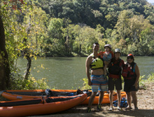
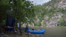
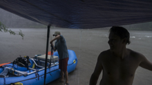
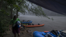
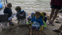
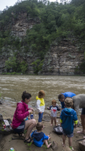
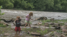
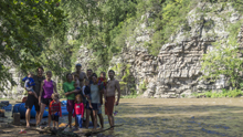
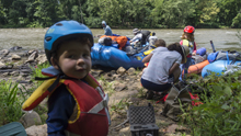
Update 2023: Well, on the other side of having a second kid and having open heart surgery, we got the chance to get back in here. This time for both Aster and Tobin's first overnighter. We put-in with the Janneys and Sanborns at Hot Springs and took out at Wolf Creek, we planned to camp at a primative site on Huff Island just upstream of Paint Creek, but we couldnt find it. Then the beach at the bottom tip was occupied with campers, so we continued down and ended up camping just across from Paint Rock itself. At 2,000 cfs the beach was nice and there was a slightly angled slop high enough off river level for two 4-person tents and then a slightly over grown spot further in for our 6-person tent. Bring some loppers and it would be a great camping spot on all regards. As it was, it was still a cool spot in a cool location and perfect for our group.
Mi 0.0:
- Hot Springs Put-in: The upper put-in for this run is at the NOC Access just under the bridge over the river in Hot Springs, NC.
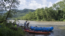
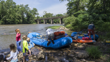
Bridge St Bridge Riffle (II-): A small riffle that is directly under the bridge, just choose a channel and avoid the bridge pylons.
- Hot Springs Riffle (II-). From the road to the lower put-in we could see one rapid in here that looked like the river ran down the right wall as the river turned left and had some strong eddy lines to negotiate.
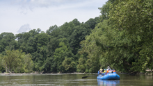
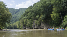
Moving Water. There is a long section of mostly flat water that is moving at 2,000 cfs with just a few small riffles interspersed between the pools.
- Murray Branch Upper(II-). A more complicated shallow shoal with converging currents, eddies, and boils. There was a line right of center heading right. Also visible from the road.
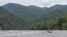
- Murray Branch Put-in: This optional put in is at an established river access spot and cuts out the biggest of the flat water pools that is upstream. Though downstream to the next access isn't a whole lot of action either.
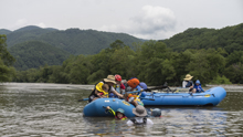
Murray Branch Lower(II-). A shallow shoal rapid best run downt the right.
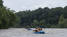
- Huff Island Camps. A large island comes into view, there is apparently a primative site somewhere on it. We didn't find it on the left channel side. At the very tip of the most downriver island is a small beach, but it was occupied when we paddled by, by people ferrying out from the Paint Creek access.
- Paint Rock Creek Put-in: The "normal" put in for this section is on river right, where Paint Creek Rd leaves the French Broad. There is enough room for a handful of cars here. There is also mountain biking from here too FYI.
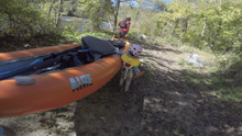
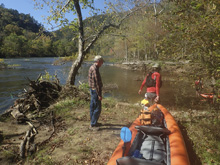
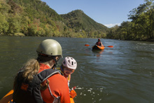
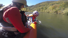
- Paint Rock Bluff (I+ to II-). A small riffle that takes you down to the wonderful bluffs that form Paint Rock. Lots of lines, a few rocks in the middle, just go left or right.
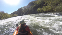
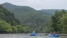
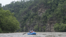
- Railroad (I+ to II-). Directly under the railroad there is a nearly river wide small rocky ledge. There were windows throughout though to line up for clean lines, or you could go far left against the shore to avoid it all together.
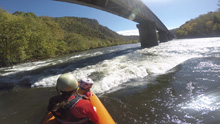
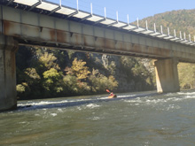
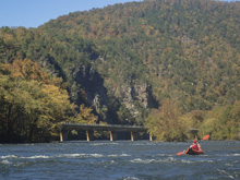
- Weavers Bend Camping: For those looking to overnight, the established campside just past the tip of Weavers Bend is a great option.
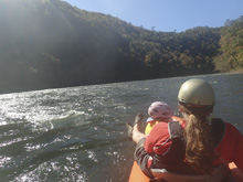
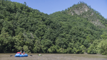
- Island Falls (II- to II). The first of the bigger rapids, at 2,800 cfs the river was split around an island formed by a large rock pile. The right looked rocky and shallow. The left had two main channels, far left on the shore was easier, where as the one next to the island had a steeper ramp into a bit of a wave train. The river then split around a large island with the majority of the water going right though I don't think it matters as the rapid is over.
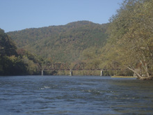
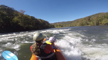
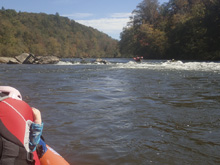
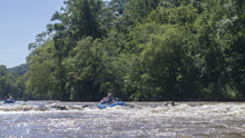
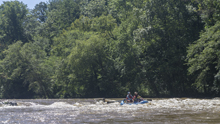
- Upper Brush Creek (I+ to II-). A straight forward rapid, stay far left for a class I line or you can run down the middle for more splashy action.
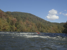
- Lower Brush Creek (II). For the adventurous souls, you could make this a II+ or maybe even a III- by negotiating down the left, which has a few holes to slalom through. But, for most, staying farther right at the top allows you to be in perfect control for the exit which goes through a rock fence. The rock fence will always present a challenge as the current hits the rocks which look sievy and divert the flow to the left through a swirly slot. So, if you start right, just start working left once you get past the difficulties that are present over there. There is plenty of time to make the move, just be careful to not swim for some reason above the rock fence.
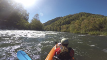
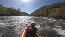
- Briggs Falls (II- to II). The biggest ledge of the run, at high flows I would imagine there are some meaty holes throughout this rapid. At 2,800 cfs there were windows, though they are a little blind from above. We went left of center and found a nice tongue into some splashy waves. Center seemed to have the steepest ledge. Far left had a line of class I+ around the ledge.
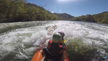
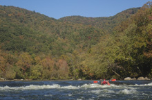
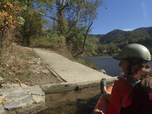
- Wolf Creek Take-out: A shallow island (at 2,800 cfs) has a small channel to the right, go down that small channel to access the boat ramp for the most common take-out. Downstream, it appears on satellite that there is only one more small rapid between here and Del Rio.
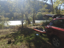
- Del Rio Take-out: I haven't used this, it looks like on river left at the highway 107 bridge is a parking area that you can use to access the river.
Wolf Creek Take-out: From Newport TN, take US-25S/70E for 15.4 miles, past the town of Del Rio. Just before the town of Wolf Creek, there is a bridge over the French Broad. 0.1 miles before that is a boat ramp with a dirt parking lot. That is take-out.
Paint Rock Creek Put-in: From Wolf Creek, continue on US25/70 E towards Hot Springs. Follow for 9.8 miles into town, and turn left in Hot Springs onto Bridge St. Cross the river and take the first left onto River Rd. Follow this 6.4 miles to where it turns sharply and pulls away from the French Broad. Park here and put in at Paint Creek.
Other Options: I have the other options marked in the map, feel free to use the coordinates to figure those out if you want to use any other access points.
HTML Comment Box is loading comments...

