Fox River
| Stretch: | Fox Glacier to Highway 6 |
| Difficulty: | Class IV to IV+ |
| Distance: | 3.2 miles |
| Flows: | ~500 to ~2,000 cfs (Visual) |
| Gradient: | 80 fpm average |
| Put-in: | Base of Fox Glacier |
| Take-out: | Highway 6 Bridge |
| Shuttle: | 3.2 miles plus 0.5 miles walking |
| Season: | Year Round |
| Written: | © 2017 |
| Featured in A Wet State #123 | |
New Zealand 2016/2017 Day 15:
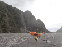
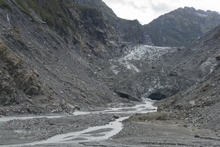
The previous afternoon after getting off of the Perth, we drove South to the Fox. Arriving fairly late in the afternoon and low on motivation, we decided to be tourists rather than kayak that day. So we hiked up to take a look at the glacier with the throngs of other tourists. Along the way we noted that the river looked like a healthy medium, and that the glacier had receded a bunch in recent years. They have signs marking where the glacier was at various times in the past few hundred years, but perhaps most shocking to me is how much it has receded just in the past 5 or 6 years.
We also tried to take a look at the crux section which the guide book states is downstream of the footbridge. You can tell it gets steeper, but we didn't put that much effort in to see for ourselves. I think it is probably better that we didn't as well. Our group was comprised of three new friends who were going to be at the peak of their comfort level, and seeing it may have scared them. Especially at that afternoon's flow.
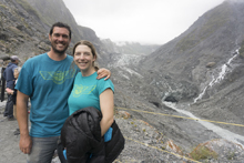
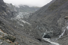
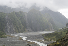
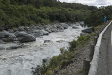
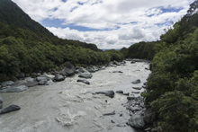
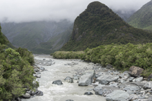
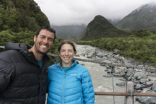
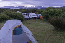
That night we drove 20km away to Gillespie Beach to camp a few meters away from the ocean and enjoy another rainy evening. The next morning we headed up to the river again, and as we began hiking up I noted that the water looked low, maybe a whole foot lower at the top which is wide and flat. I was fearing the river would be low. It wasn't until we crossed down into the crux section downriver that I realized that the flow was still quite nice, and that the previous night's flow would have been exciting to say the least. I don't know why I didn't realize sooner that the time of day would have such an impact on the glacial melt occurring. It just didn't dawn on me.
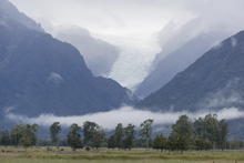
This run is super worthwhile. The run is not super long, so you may want to combine it with the river that comes out of the Franz-Josef glacier as well. But the scenery at put-in is unreal and the rapids in the bottom two thirds are quite fun and at higher flow would certainly be class IV+ if not more. Note, the river is notorious for being fogged over and making visibility really bad, like losing your group while on the river bad. We only had one corner where it started to get foggy, but was never severe. Also, do yourself a favor and drive towards Gillespie Beach. Out of town, once you turn right take a look back up the valley for an epic view of the glacier and surrounding mountains!
That afternoon, rather than running laps or another creek we began a drive to Southland, and specifically Queenstown. We drove south and then over Haast Pass and the super cool to peer into the Gates of Haast. We then had an early dinner in Wanaka before heading to the Dogleg section of the Kawarau where we camped for free.
Also, it is important to to see... the affect of global warming... look at the recession of the Fox Glacier over the past several years here
Previous: New Zealand 2016/2017 Day 13 - Perth (Five Fingers)
Next: New Zealand 2016/2017 Day 16 - Shotover (Gorge)
Mi 0.0/2.5:
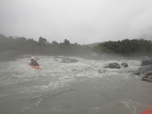
- Put-in (IV). It really depends on where you put-in... as since the glacier has receded an unholy amount in the past decade I am sure this will change too. For us, as soon as the river bended right it dropped off a continuous section that was actually much more continuous and busy than expected. We worked out way down the right. As the river worked back left it eased up a bit before turning into a flat gravel bar riffle.
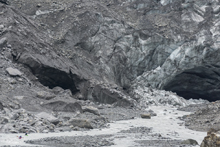
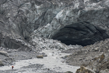
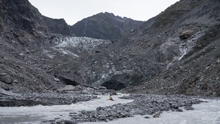
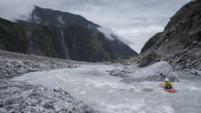
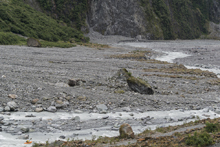
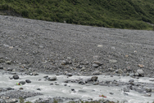
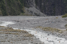
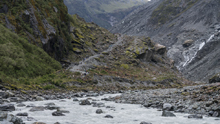
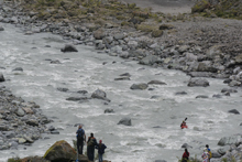
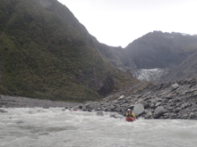
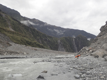
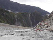
- As you float through the valley take a look around at the spectacular scenery.
- Valley Exit (III-). As you exit the valley and see the foot bridge below, the gradient pics up again. Work down and catch an eddy on the right to peak over the first bigger drop.
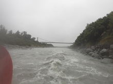
Foot Bridge (III+). The rapids start abruptly at the footbridge. The first one was run right cutting back hard left across the tongue to avoid rocks above on the left and below on the right. Downstream we worked our way down the mellower section down the right to an eddy above the first of the larger drops.
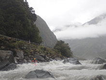
Get Right (IV). This first rapid of the crux section had a swirly lead-in that then led to the main move, the main move was a ramp that you wanted to carry right momentum over so that you could be right at the ledge immediately below. Center was the worst of the hole, left of center actually was ok too. Make sure you are pointing straight whatever happens for the best odds!
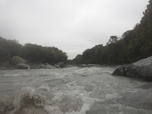
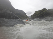
Crux (IV to IV+). I would call this rapid the crux due to length, difficulty, and non-inconsequential consequence (that seems like horrible grammar). We started from small eddies far right. The entry move was to go down a tongue which lead to a hole, driving left to avoid the meat of the hole as well as the rocks that lay downstream on the right. Once through the hole, there was an eddy on the left to collect and then peel back out of now driving back right on the bend to stay off of the left wall.
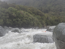
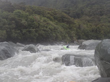
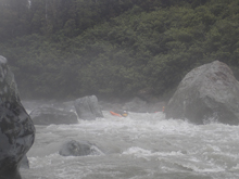
Zig Zag (III to IV). Downstream is a fairly long and busy boulder garden. Follow the bulk of the water.
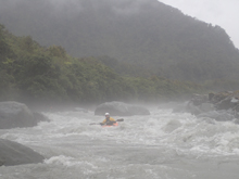
- It gets easier from here with two exceptions.
Ledge (III). Blind from above but actually quite clean. This 4 foot ledge was best to run right of center.
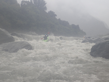
Boulder Bar (III to IV). There was one rapid which was a congested mess with few clean lines. Several different lines were taken, I stayed right of center which felt a little meatier while others stayed further left.
Take-out: 50 minutes south of Whataroa on Highway 6 you will get to the town of Fox Glacier. 1.7 km further will see you approach the bridge over the Fox river. Just before the bridge there is a dirt road on the right that you can use as access. It also looked like there was a dirt area just upstream of the bridge, but I did not confirm. Either way, take-out immediately at the bridge.
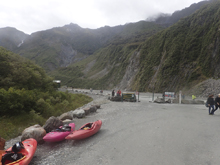
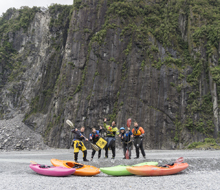
Put-in: On the other side of the highway, there is a Fox Glacier Access Rd that goes up the North side of the river. Follow this for 4 km to the trailhead parking area at the top. We then choose to hike up another ~1 km to put in at the base of the glacier. This also involved crossing a rope with a sign that read "guided tours only."
HTML Comment Box is loading comments...
