Fium Orbo (Upper)
| Stretch: | The Rocket Gorge |
| Difficulty: | Class IV to V- |
| Distance: | 5.6 km |
| Flows: | ~200-500 cfs (0.65 at the take out gauge was low, but good for the bedrock) Gauge is at the take-out for the Middle |
| Gradient: | 163 fpm average |
| Put-in: | Spur road dropping down off of the D89 to Cavo, near Aja |
| Take-out: | Bridge just off of D344 4.4 km before Ghisoni |
| Shuttle: | 9.3 km, Some dirt at the end |
| Season: | Spring from snowmelt/rain |
| Written: | © 2013 |
| Featured in Video A Wet State #73, Kayak Session's Guide and in A Wet State's contribution to World Kayak's Video Guide | |
And a huge thanks to Prijon for the boats they lent us!


Day 3:
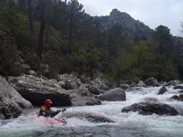
Our third day on the water brought with it cold temperatures and of course some rain. The guys had done the Upper section of the Fium Orbo in a rush the day they got on the island the week before. Due to higher than optimal flows they were forced into portaging the Rocket gorge. But this time, with lower flows, hopes were high for a good to go flow.
As we pushed off at put-in, one thing was apparent, the in between stuff was going to be low. Rock dodging/bashing was the name of the game for the first few km. A good size here or there greeted us and I kept my spirits high. Soon enough, we rounded a corner into the first bedrock rapid the fun began to be had.
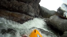
The entry to the Rocket Gorge is a portage due to a bad caved out hole. The gorge is easy to scout via the portage trail on the left. I would recommend walking down to scout the middle falls before dropping into the Rocket. The exit of the falls is a portage due to another folding falls before the final exit drop. The highlight for me was watching Harold's boat fill with water on the throw and go and exit through the unportagable exit pinch. A few minutes later followed by Harold who disappeared for over 7 seconds (GoPro verified) before popping up well downstream. Just long enough Paul and I in the pool below began to get very nervous.
Downstream, one more portage and a number of fun bedrock rapids await befoire things open up and begin to get a little manky before you get to the gauge and the next section of river. For the record, I actually thought the Middle section was much more classic then the Upper... other than the Rocket Gorge of course. But also, several in our group still weren't feeling the new to us boats yet and did not like the undercut in the middle of the second falls and decided to walk the whole gorge. So perhaps that is why my opinion was higher of the middle section.
More water would have been welcome for the boulder gardens on my day. We had 65 cm on the gauge. But again, more water makes the gorge that much harder... so I guess it is a toss-up. The flow however was perfect for the middle section, so see that write-up too.
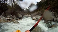
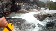
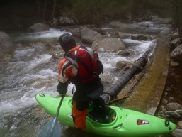
Finally, I apologzie for all of the GoPro and other video captures that I am pawning off as photos here... we tended to go fast on the water (putting on after 4 pm every day) and focused on taking video when we did hop out. Thanks to Darin McQuoid for his contribution of video that I took shots from.
Km 0: Km 2.5:
- Start of the Bedrock (IV). The bed rock starts with a fun rapid that is indicated by a house size rock on the right and a decent hole at its base. Downstream is some fun boogie that leads to eddies on the right and left just above the first big rapid.
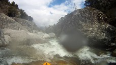
Ramp (IV- to IV+). I have seen video at low flows and the eddy and hole are nothing, folks are able to keep their heads dry. However, we had low flow and the hole was such that you ended up plugging and fighting out of the eddy. (It amazes me folks run this run lower... the junk was so junky... but of course the bed rock is unrunnable at high flows). Run down the center, maybe a smidge left.
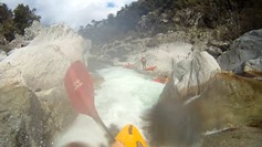
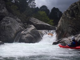
- Portage (V+). Just downstream, get out on the right to portage over either down the right to seal launch in for the gorge, or over the bridge and on the trail to the left to portage the entire gorge. The lead in rapid was not one to blunder into.
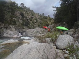
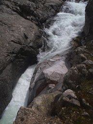
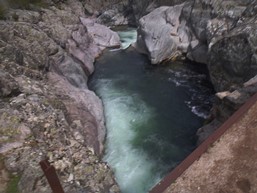
Rocket (IV). This drop was straight forward... run down the ramp. Our group all went left on it.
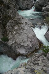
Exit (V). The crux of the gorge (not including the portage at top or bottom) is the exit drop. Just below the Rocket, scout on the left. Enter far right, stay off the undercut wall on the left at the base of the ramp, then exit off the 8 to 10 foot ledge below.
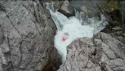
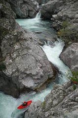
Portage (V+). This rapid is runnable, but rarely so. Normally a portage around it can be done at river level, including a throw and go. One in our group had his boat capsize which resulted in it running the Gorge Exit which resulted in him having to swim the small ledge. He was under for over 7 seconds.
Gorge Exit (IV). The exit of the gorge was a twisty drop leading to a 4 foot ledge.
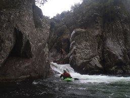
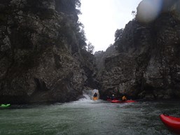
- Swimmer's Hole (IV+). A long bed rock rapid with 4 distinct tiers to it all lined up on top of each other. Run down the left of all of them, the bottom one is a pinch with a large hole that swam one in our team on the first lap.
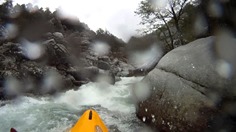
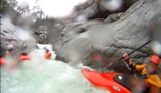
Portage (U). Easy portage on the left involving a seal launch into the rapid exit. The rapid has water slam into a rock and into sieves. It is a no-go.
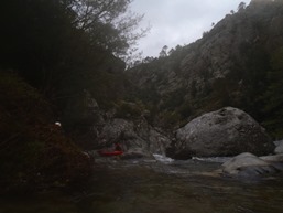
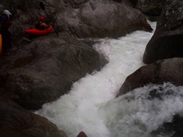
A couple of fun bedrock rapids keep you occupied...
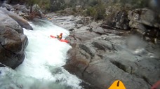
Double Drop (IV). A fun two part rapid, the first is boofed left of center. The second involves sliding with left angle down a rock to avoid a boulder at the base that some of us pitoned.
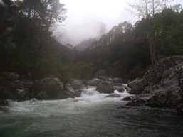
Boogie continues until it opens up.
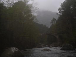
Directions: Use the GPS locations to get yourself to put-in and take-out... I wasn't driving most days and do not know enough of the directions to be useful.
Take-out: So we continued on to the Middle, so I did not actually use this take out. But it was an obvious access point off of D344 before Ghisoni where a spur road crosses the river.
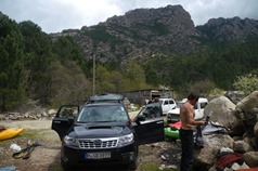
Put-in: Look at a map before going to this one. Outside of Ghisoni on D69, look for a paved road dropping down to the right towards the river. This road turns to dirt after a few km. It then crosses a small trib. Some folks walk down the left side of the creek to avoid conflict with the land owner. Others park just outside of the land owners gate down the road another 100 meters. From there, walk 100 meters up the dirt road and look for a trail that leads into the woods and quickly down to the water.
HTML Comment Box is loading comments...

