
Emory River (Oakdale to Clifty Creek)
| Stretch: | Mud Creek to Clifty Creek |
| Difficulty: | Class I |
| Distance: | 3.8 miles |
| Flows: | 450 cfs to 1?,000 (obviously would get a little tougher higher). USGS Emory River at Oakdale gauge |
| Gradient: | 10 fpm average (0 fpm/lake after mile 2.0) |
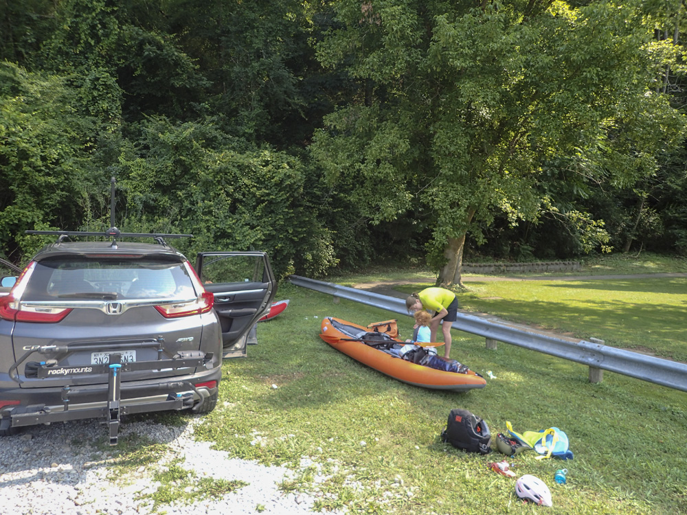
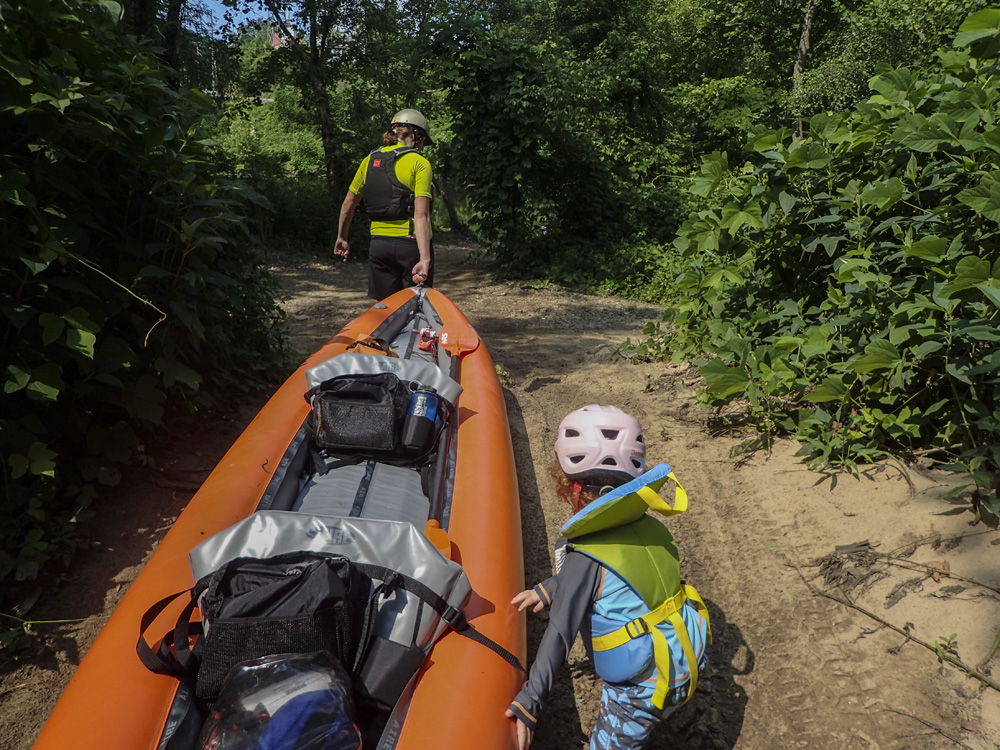
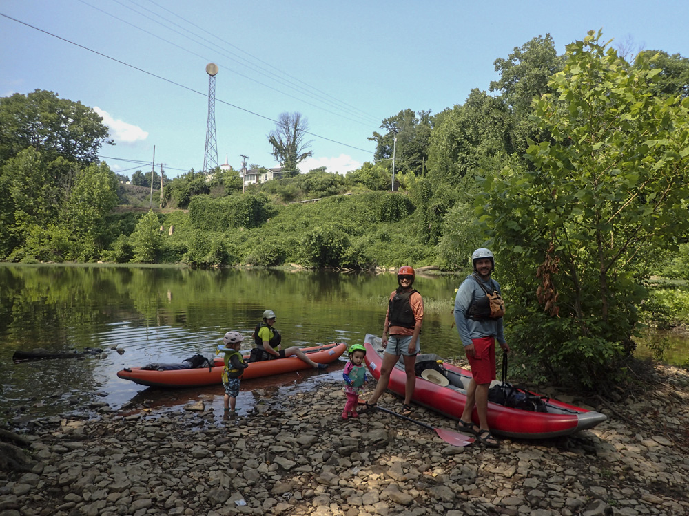
| Put-in: | Beach at the mouth of Mud Creek, off of Camp Austin Rd in Oakdale |
| Take-out: | Beach at confluence with Clifty Creek on Clifty Creek Rd |
| Shuttle: | 4.7 miles, (10 minutes one-way) |
| Season: | Fall to Spring, Rain fed (occasional summer off of large storms) |
| Written: | © 2021 |
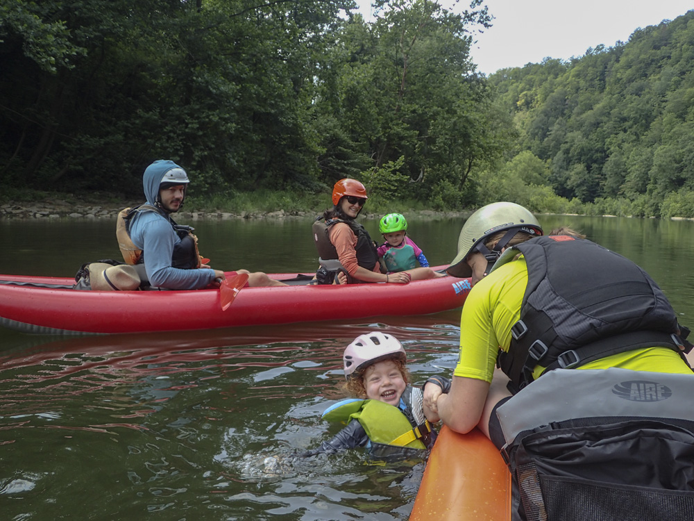
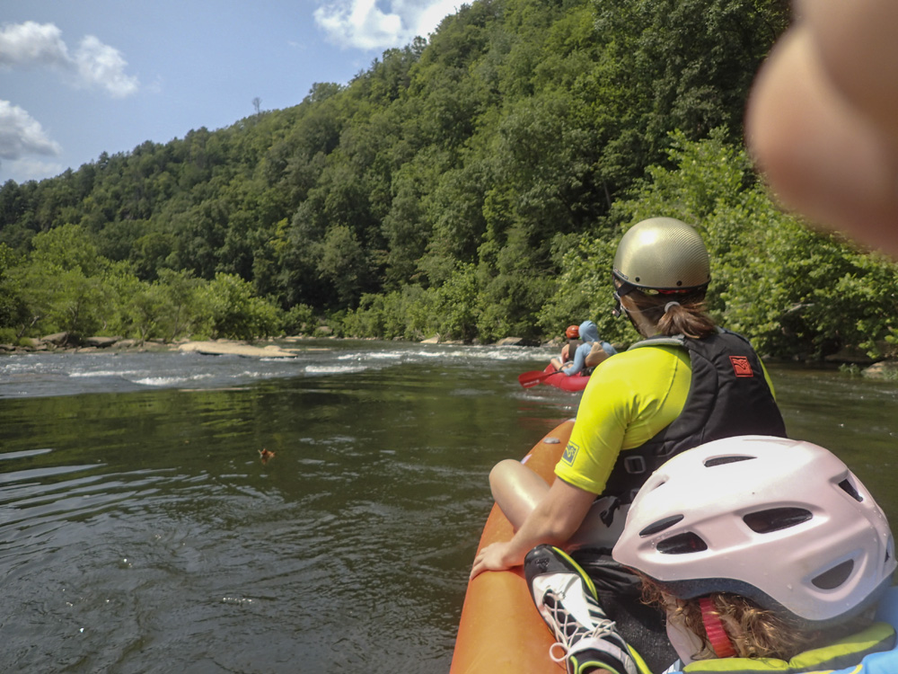
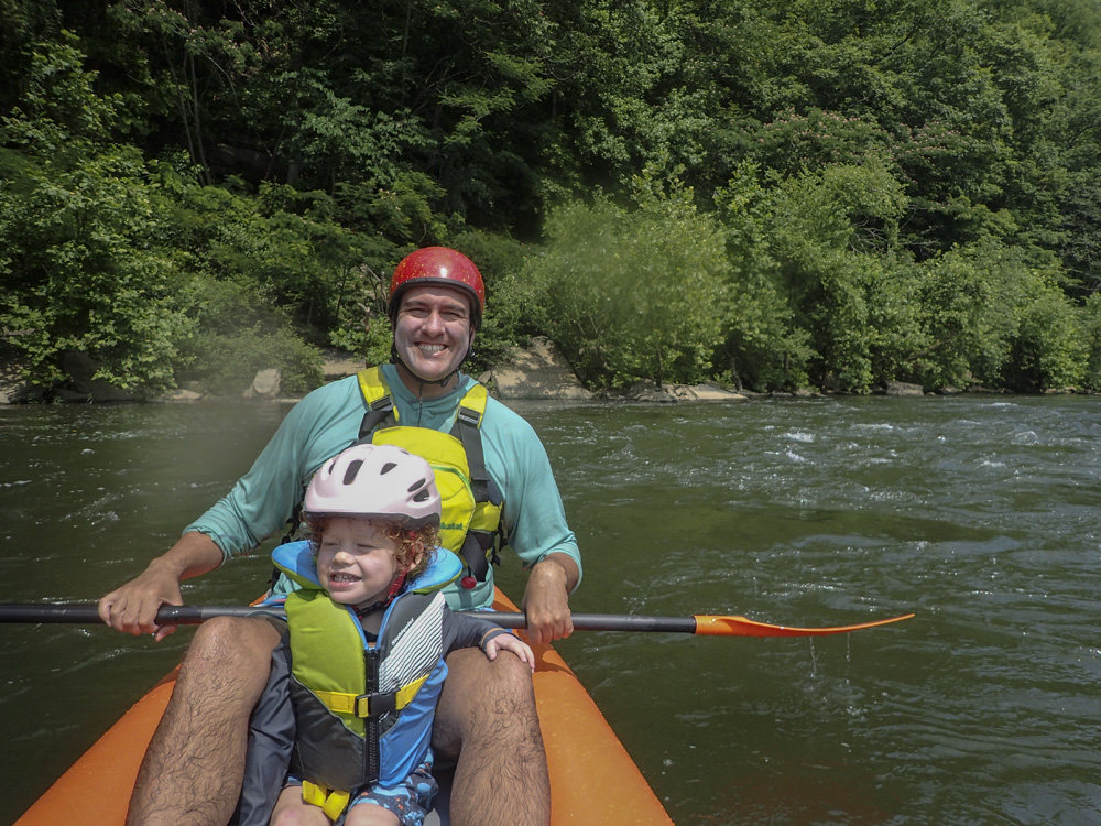
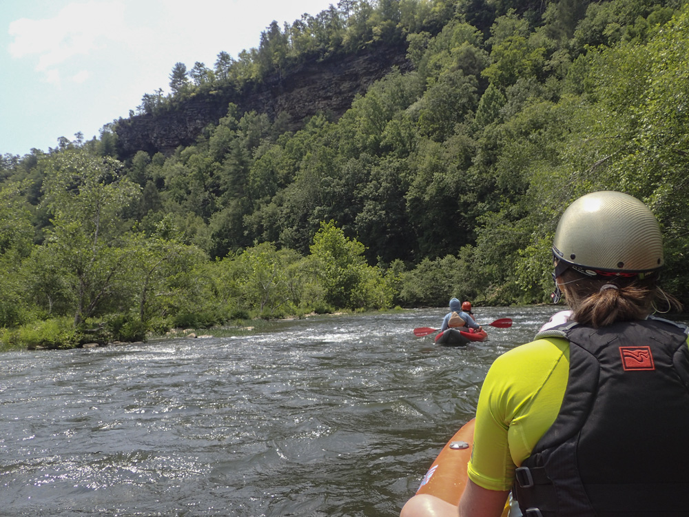
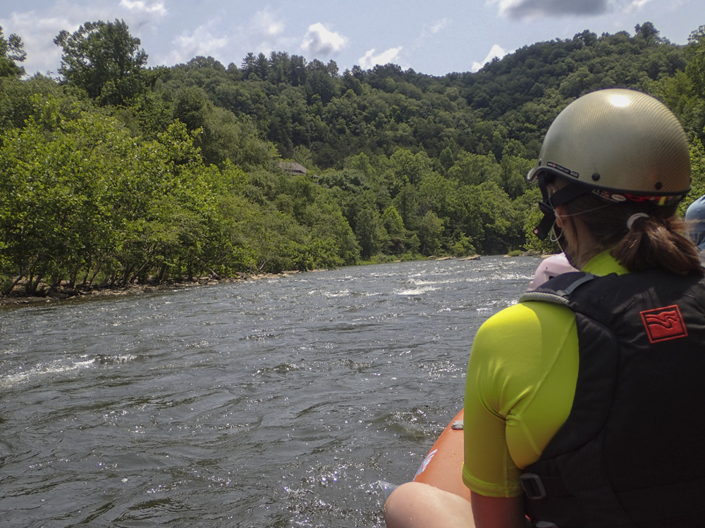
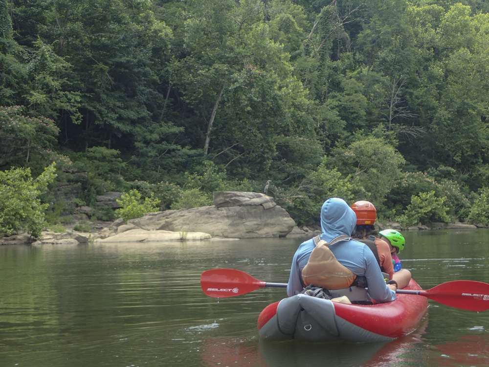
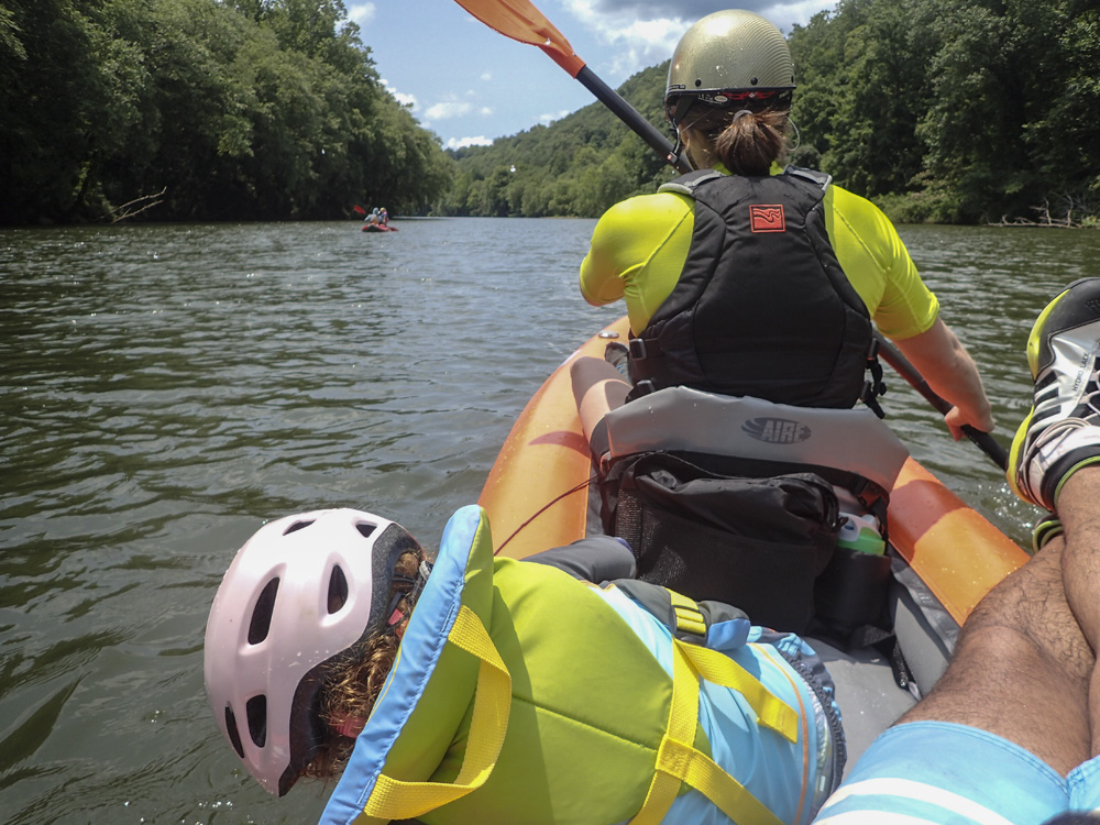
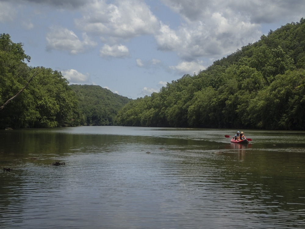
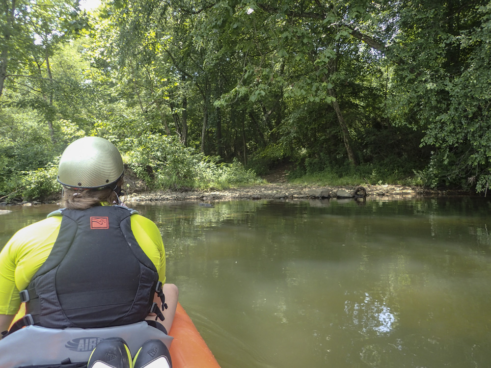
This river holds in longer than most since it is at the bottom of a major river drainage with multiple large tributaries. Often in the winter, you will find it in the thousands to tens of thousands cfs. I would venture to guess that you probably would want to consider it a class II section at those flows. Because it holds in well, it will likely have water while many of the mountain class I runs are too low. It is also the easiest of the kid friendly runs we have done thus far. It also has the largest flat water section of those rivers we have done with Aster, at almost 1.8 miles of flat lake water to paddle out on at the end of the day. On the bright side, this river is very pretty. Nice forest land surrounds it, with only the occasional house, and at least one pleasant bluff line grace you during your paddle. Additionally, we saw all sorts of bird wild life including 5 Blue Herons at a time and a Bald Eagle. Because of all this, I would say that this float is more about being out on the water, and less about running rapids.
We had 480 cfs which I felt was nearing a min, but not there yet, for inflatable kayaks to head down the river.
Mi 0.1:
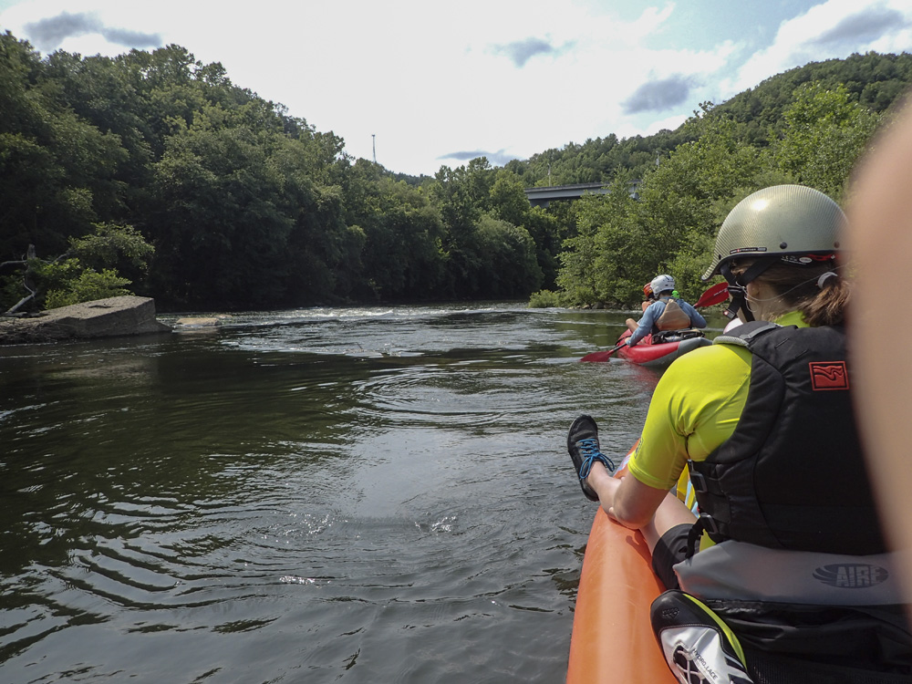
- Old Dam (I+ to II-). The biggest rapid is right at the beginning. It appears to be an old dam site, or maybe an old river crossing. We just followed the flow down the middle. You can go around the one small hole feature or just go right through it. Your choice.
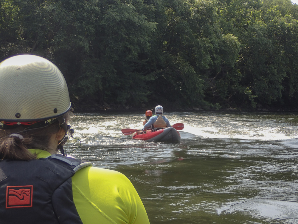
Boogie (I). There are a handful of boogie rapids in this section, with sections of flat water between.
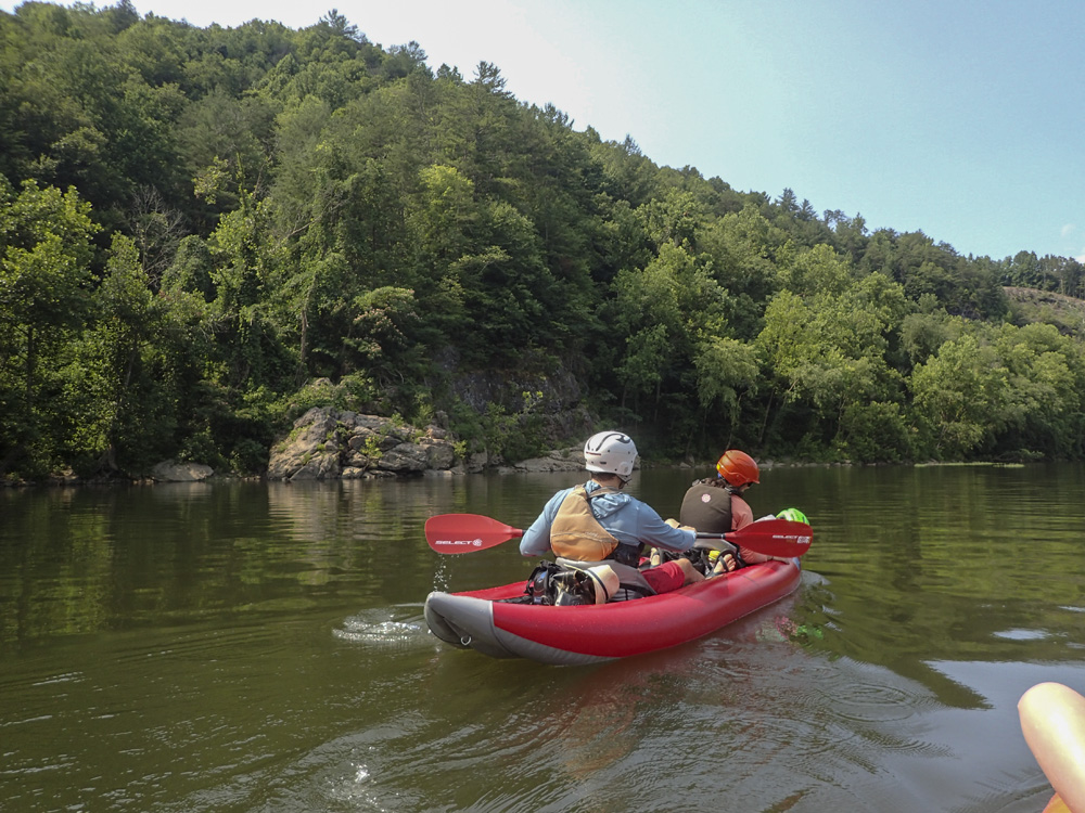
- Slots (I+). You come around a left-hand bend and a few large boulders create slots to choose. We went far right. We took lunch immediately below on a beach on the left.
- The End (I). You come around another left hand bend and have a long wide rapid that leads to a large pool that is the start of the lake paddle out. In this section we saw 5 Blue Herons and a Bald Eagle. It was pretty rad.
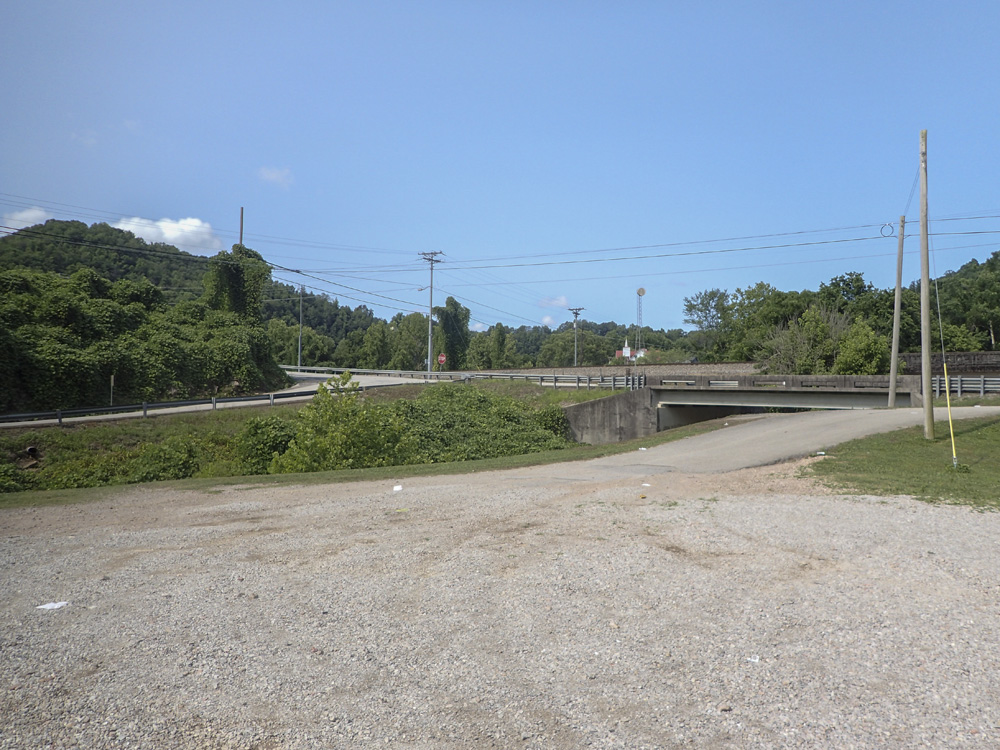
Take-out: From Knoxville, head west on Highway 40 for 36 miles. Take exit 350 for TN-29 toward Harriman/Midtown. After 2.0 miles, just before you get to TN-27, take a right onto Pansy Hill Rd. This cuts a corner, then turn right to stay on Pansy Hill. Follow this for 0.8 miles. Just before you cross the Emory, turn left on a sketchy one lane side alley looking rd, Riggs Chapel Rd. This quickly opens up to two lanes as you drive up the river and cross under Highway 27. After 2.4 miles on Rigs Chapel Rd, veer right at the fork to get onto Clift Creek Rd. In another quarter mile you cross Clifty Creek and can park on the far side. There is access to the Emory just across the rd from where you park. Note this is also the takeout for Old White Oak and Clifty Creek.
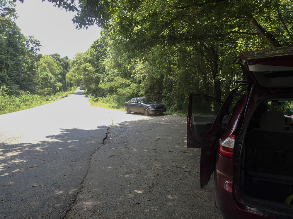
Put-in: Continue on Clifty Creek, quickly climbing up and crossing Old White Oak Creek. Continue for 2.6 miles before turning right at the T, onto Airport Rd. Follow this for 1.7 miles, crossing the Emory River, and then turn left onto Camp Austin Rd immediately after the bridge. Follow this for 0.3 miles to the park on the right at Mud Creek. From the parking area, cross Camp Austin Rd to the right of the creek and drop down the dirt road, this will then lead to a small dirt road to the beach at the river. The walk here is maybe 300 yards.
HTML Comment Box is loading comments...