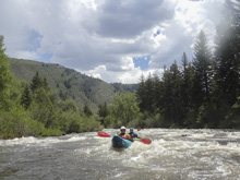
Eagle River (Upper)
| Stretch: | River Run to town of Edwards |
| Difficulty: | Class III |
| Distance: | 8.0 miles |
| Flows: | 1,000 to ?,000 cfs. USGS Eagle River below wastewater treatment plant at Avon gauge |
| Gradient: | 55 fpm average |
| Put-in: | Parking on US-6 downstream of the River Run Apartments |
| Take-out: | Access at park or rest area in Edwards |
| Shuttle: | 9.0 miles, (15 minutes one-way) |
| Season: | Spring off snowmelt |
| Written: | © 2021 |
-
Colorado Road Trip 2021: Day 12 Afternoon
I don't have a whole lot to say about this section. It was all non-descript class II+ to III and non-stop. It honestly took us longer than I anticipated so we were kinda rushing as my mom was babysitting not only Aster, but Laura and Steve's Luke as well. I expected these miles to just fly by like every other Colorado River had, but the reduced gradient for sure slowed progress from what I anticipated. Instead, while I can see the appeal for the class III boater, it just wasn't my favorite type of class III, the non-defined rapids and lack of unique moves etc. So next time I would probably skip this section and just do the first portion of our day on Lower Gorge Creek and Dawd Chute. Or maybe next time I would add Upper Gore Creek in order to extend the day. But, if you are looking for a class III run and don't want the IV, this is a good option and will provide you several nice miles of kayaking or rafting. We did see multiple groups of rafts and kayaks out there, so it obviously is a good run for the people who are looking for this grade and style of rapid.
Its funny, at the put in for Lower Gore Creek, I told Steve and Laura to where a thick layer and perhaps their poggies too. They put on the thick layers, fully expecting to give me a hard time about being hot later. But after 3 hours of the Lower Gorge, Dawd Chute on the Eagle, and then this section, both were thanking me for that tip as the endless splashing of cold snowmelt water chills you for sure!
Another funny story of this section is the signs warning you about scouting and or portaging. At least 3 signs warn you as you enter the town of Avon. The four of us, who have all done plenty of class V, were eddy hoping nervously and cautiously. What did we find? The Avon Whitewater Park. Cracked us up the level of fear they imposed for this class III section of rapid. Also crazy in hindsight after doing Clear Creek and nearly being swept over the dam rapid which is for sure life threatening and seeing no warnings whatsoever.
For flow reference, we had 1,900 cfs which was a nice flow on it, not low, not flooded. It moved and there weren't many rocks to avoid. Just nice flowy, endless rapids.
Note: This run is just continuous, mostly II+ moves with some III-. However, the continuous nature of it, and the cold water, makes me think you would want to be a class III boater overall to safely make a run on this river.
Mi 0.0: Mi 1.3:
- Highway Dam (III-). It isn't a dam as much as an artificial rock pile that was likely put in place while they were making the highway overpasses. Stay far left to stay in the deep water.
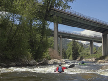
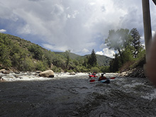
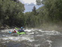
- River Wide (III). We caught some rafters as we passed under a bridge, and then were all jangled together in a bunch when we went through this rapid. It started as boogie and then led to a river-wide hole (2nd pic) that we ran on the left. The hole wasn't bad, perhaps at higher flow it gets worse and you would want to head to the edges to sneak around it. Downstream you begin to see signs warning about the upcoming whitewater park.
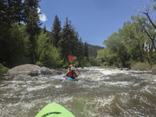
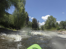
- Avon Whitewater Park (III). The biggest rapid of the run without a doubt. A series of small ledges, surf waves, and holes. At normal flows are all totally fine to bomb down the middle of. The warning signs make me think that perhaps at flood some of the features turn ugly, but I do not know that for myself.
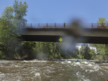
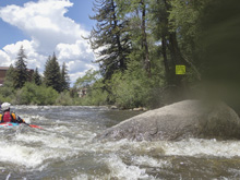
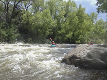
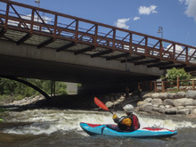
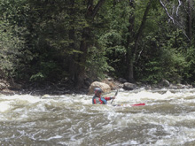
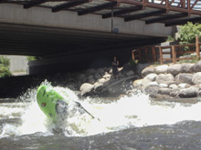
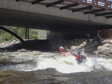
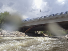
- Golf Course: Not a rapid, just more boogie… but a clear thing to understand your downstream progress by.
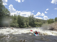
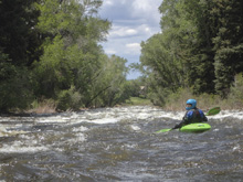
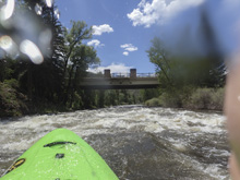
- Bridge to Park: There was a footbridge that you could use as take out which goes up to the park. We were unable to use the access here as we had RVs in our caravan and the park had signs saying no RVs.
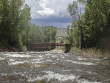
- Bridge to Rest Area: This is what we used as take-out, though it said cars left unattended would be towed. But, we had shuttle drivers who were staying with the cars so we felt ok about this.
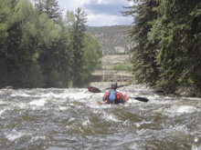
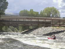
Take-out: So the sources all say "Edwards" as the take-out but do not give any specific details. So, we met at the Rest Area in Edward on Edward Access Rd. This is signed as no unattended vehicles allowed. But we had shuttle drivers and RVs so this was all that would work for us. If you go up Miller Ranch Rd for a quarter mile you can also park at Mountain Recreation Freedom Park and access the river via one bridge earlier. This area was marked as no RVs so it did not work for us.
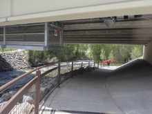
Put-in: Go one block south of the river on Edward Access Rd and turn left to head east on US-6. Follow this for 7.4 miles. Just before the River Run apartments, turn left onto kayak Ct and basically just u-turn it onto the onramp back onto the highway. Immediately before the highway, park on your right near the bus station. Disclaimer, we paddled through this section, so this is what I pieced together but did not verify personally.
HTML Comment Box is loading comments...

