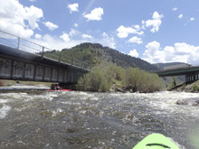
Eagle River (Dawd Chute)
| Stretch: | Forest Service Visitor Center to River Run |
| Difficulty: | Class IV to IV+ |
| Distance: | 1.5 miles |
| Flows: | 500 to ~4,000 cfs. USGS Eagle River near Minturn gauge, plus USGS Gore Creek near mouth at Minturn gauge |
| Gradient: | 73 fpm average |
| Put-in: | Parking near the Holy Cross Ranger Station |
| Take-out: | Parking on US-6 downstream of the River Run Apartments |
| Shuttle: | 1.7 miles, (2 minutes one-way) |
| Season: | Spring off snowmelt |
| Written: | © 2021 |
-
Colorado Road Trip 2021: Day 12 Midday
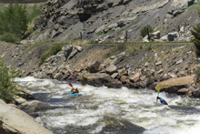
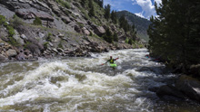
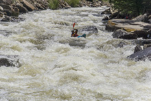
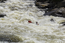
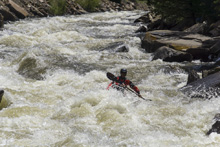
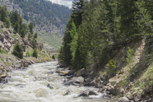
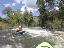
The crux is brief but fun, similar in difficulty to the Crystal Narrows. Just a bit of artificial road and train blast pinching the river tight as it tumbles over its gradient at a consistent pace. From the top, it looks like the bottom is going to get rowdy. This caused us to eddy hop and get out of the boat twice to take a peak. But in reality, the bottom is just big fluffy breaking waves that can be run directly down the middle! After the main chute, the river stays entertaining but just class III to IV- in nature for the remainder.
We began up at the Vail Whitewater Park and ran Lower Gore into this. That is a great addition of Gore is at 500 cfs or more. We then continued down through the Upper Eagle down to the rest area in Edwards. That section of the Eagle was less entertaining, just non-descript class II+ to III. The Avon Whitewater Park was nice in there though.
We had 1,900 cfs which I thought was a great flow for the run. I am sure this is on the healthy side though by no means high. At this flow I would say the Chute was approaching class IV+ just because of the big water and length of the rapid. Flipping and swimming is very much no ideal in here. At lower flows I am sure it is just class IV.
Mi 0.25: Mi 0.5:
- Dawd Chute (IV to IV+). The main event of this section of river is the rapid you come to. We entered some mellow boogie before I eddied out on the left to step out of the kayak to see what was going on downstream. From there I could see at the very end of the straight away was something bigger. We then ran down the center to avoid holes on the right at top, then moving right to avoid holes on the left, t to then eddy out on the left. Diane hoped out and found the big thing at the end was just big exploding waves, totally benign and good to go down the center!
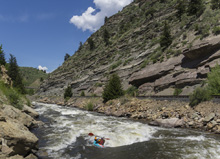
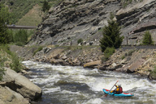
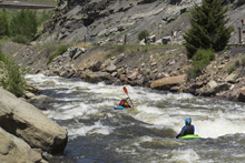
- Bridge Pylon (III). The river makes a hard-right turn and the river slams into a bridge pylon on the left with the force of most of the flow. Stay hard inside right to avoid the pylon.
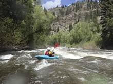
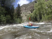
- River Run #1, #2, and #3 (III- to III). I remember three crescendos of boogie as we moved through this section starting at the apartment. They were read and run and you could bite more off of holes if you wanted
Take-out: From Eagle-Vail (not to be confused with Vail proper), head east on US-6 for 1.3 miles. Just before the River Run apartments, turn left onto kayak Ct and basically just u-turn it onto the onramp back onto the highway. Immediately before the highway, park on your right near the bus station. Disclaimer, we paddled through this section, so this is what I pieced together but did not verify personally.
Put-in: Head upriver, east on US-6 for 1.3 miles to the Ranger Station just after you pass under I-70.
HTML Comment Box is loading comments...

