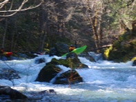
East Fork of the North Fork of the Trinity River (Lower)
| Stretch: | East Fork Rd to North Fork of the Trinity |
| Difficulty: | Class III to III+ |
| Distance: | 6.5 miles |
| Flows: | ~120-500 cfs |
| Gradient: | 66 fpm average |
| Put-in: | End of East Fork Road |
| Take-out: | Confluence with the North Fork |
| Shuttle: | 6.5 miles, 15 minutes (one way) |
| Season: | Winter from rain, spring from snowmelt |
| Written: | © 2011 |
| Featured in Video A Wet State #42 | |
I first remember hearing about the East Fork of the North Fork of the Trinity the first time I kayaked Pigeon Point. Although I had been rafting Pigeon Point for several years, and swimming at the rope swings and swimming holes on the North Fork for years, I never knew that there was a small tributary that was boatable. But, that first day kayaking Pigeon Point, the river was raging so to extend our day we put in at the confluence of the East Fork North Fork and the North Fork. It was there that my brother told me about the run on the East Fork. As the years passed, I had hoped to get on the little run, but the creek is finicky and tends to only run off of recent rain. And as I spend most of my time in Trinity during summer months, I never got the opportunity to paddle it. Until this year, with a huge snow pack and an early week of heat crossing the state, the North Fork jumped to 2,100 cfs indicating with some certainty that the East Fork North Fork should be flowing as well.
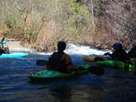
With our group of friends assembled we headed out. Most often, the bottom section from just above the East Fork Rd Bridge down to the confluence. I had always heard this to be a class III run. Above, I had heard of a class IV run from the end of the road down to the bridge. In the end, I thought the run ended up much more like a class III run with maybe one IV up top (and the one IV was actually a portage due to a totally sketchy log and cave combo) and the bottom was much more of a class II-III, or class II with maybe 3 or 4 class III-ish rapids. Both though were worthwhile even for boaters who may be looking for harder whitewater because the river canyons are nestled in a densely wooded forest and despite the ease of access to the road above, the road is never noticed. It really made for quite a pleasant day of relaxing with friends. Next time though, I think I may want to go up to the top of the East Fork via Hobo Gulch and see what is up there... perhaps there are some rapids up in them poison oak forests...
Update: The day after, a few friends ended up going into the Upper section off of Hobo Gulch Rd. and reported it was an amazingly scenic section with parts only a boat wide. I believe they also said it was more class III-IV.
Mi 0.7:
- There was one log-jam/ willow-garden in the first mile that was runnable far left in addition to a few class III rapids
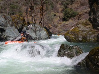
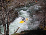
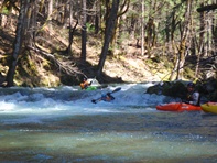
- Portage (U). An ugly log and room of doom combo occur in a tight blind rapid where the river makes an s-turn to the right and then left. Portage on the left with ease.
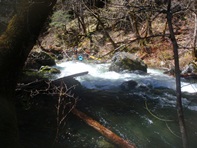
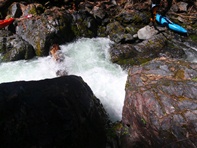
And some more good in between stuff
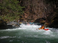
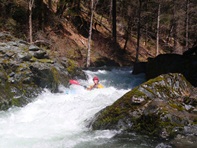
- An optional put-in as at the East Fork Rd. Below this point it is more class II-III with one or two class IIIish rapids.
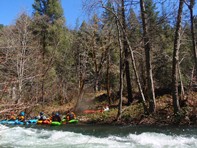
Several good class II-III rapids await downstream
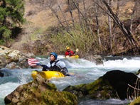
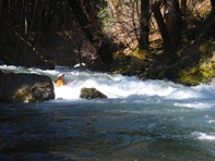
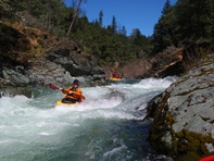
- Anne's Slide (III). I think that was the name I was told. It is a straight forward drop with two holes to punch through down the left then center.
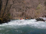
Take-out: From Weaverville, head West on 299. After 15 miles, you cross the North Fork of the Trinity. You then turn right on East Fork Rd. Continue to the confluence and bridge once again over the North Fork. The gauge is that you want at a minimum a small stream flowing between the bush at the confluence itself and the shore.
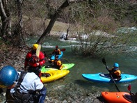
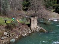
Put-in: Continue up the East Fork Rd. Either stop at the bridge over the East Fork of the North Fork or continue up to where the road ends.
HTML Comment Box is loading comments...

