Duskin Creek
| Stretch: | Walden Mt Rd to the Piney River |
| Difficulty: | Class III to IV |
| Distance: | 3.15 miles (plus 3.65 miles on Piney River) |
| Flows: | 3.5 to 6' on Piney River. Look for 2' of past 12 hr rain |
| Gradient: | 130 fpm average on Duskin, 54 fpm on Piney |
| Put-in: | Low water bridge on Walden Mt Rd |
| Take-out: | Piney River access on Shut in Gap Rd |
| Shuttle: | 6.6 miles, (20 minutes one-way, bad/rough dirt road) |
| Season: | Winter and Spring, rain |
| Written: | © 2019 |
The morning after Wildcat, thanks to yet more overnight rain, the options were plentiful around the region. What was forecasted to be 0.75 to 1.25" had ballooned to 2-3" in parts of Tennessee, specifically around the plateau. I thought there might be a good chance that things were going to blow out, and thought of Duskin Creek. I sent a few notes out, those notes then got passed along to large group texts and soon there were 10+ potential people in our group. Thankfully (selfishly, I am not a huge fan of big groups) a visual was posted of Piney River (which Duskin flows into and is your indicator) which showed it raging at 9-10 ft. That caused hesitation. Coupled with a misunderstand of 10:45 at take-out versus 10:45 in West Knoxville, my group ended up being just 3 of us. A forth bailed for one reason or another as we got to take-out. Anyways, that was all great, in my mind, a group of 3-4 is a great size to make good progress downriver, especially one we don't know and has been reported to be woody in the past.
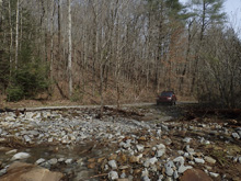
Arriving at take-out we found the flow had dropped to about 6'. Pretty much right where I anticipated it to be some 3 hours after the visual was taken. Knowing it would continue to drop by the time we finished, we headed up for shuttle. The massive rain this year has done a number on the road, and it is in terrible shape, requiring ok clearance and four wheel drive for sure. Arriving at put in we found what looked to be perfectly adequate flow. Through the day, David Lew and I would discuss what we felt the flow was. I suggested medium, he suggested low. I agree with both... but that is because I agreed it felt low at times, but by South East standards I know it is no where near the low side of the flow... so we settled on calling it medium side of low. The pics in the guidebook certainly show it much lower... so yea.
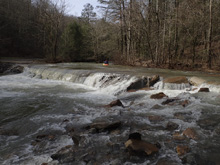
The run starts off which some entertaining bedrock slides before you find yourself at the biggest vertical drop of the run, a nice two tiered bedrock slide. Downstream, you find yourself in a mix of bedrock and boulder gardens. Two ledges should be minded and caused us to hop out to take a quick peak. The first was on a right bend and was run down the middle, the second was after a multi step bedrock drop and was signaled by the foot bridge on the left wall immediately downstream. Below the second ledge, you get one fantastic long section full of nice moves and holes to punch before it mellows out and you find yourself on Piney River.
Duskin Creek deposits you in the middle of the paddle out of Piney River, and though no major rapids are present, you will have fluffy flows so there will be holes to avoid and unrelenting big water class III to maneuver to make it to take-out.
For reference, we had 2.25" of overnight rain which brought the Piney up to 9.5' by dawn. It dropped to ~6.0' when we arrived at 10:45. By the time we were off, it was 4.5 or 5'. The whitewater is pretty nice, but the scenery is the real reason to come here, as it is super nice with that regard. After the run, David and I said good bye to Brandon Stephens who went hiking with his family, and headed up for a Piney lap. By the time we got back down 3 hrs later Piney was at 4'. When we boated by Duskin, it looked scrappy low already. So, be on the early plan if you hope to catch this creek, as it does not hang around for long!
Mi 0.0:
- Put-in (III-). You could run the low water bridge at put-in if you are so inclined.

Boogie (III-). After a few small gravel bar rapids, you get to a few small slides.
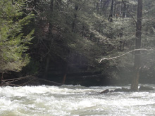
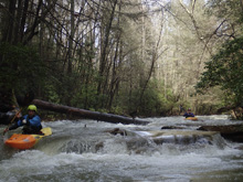
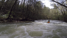
- Right Bend (III to III+). As the river bends sharp right, there is a blind rapid. You could hop out on the right to scout, or pop into the eddy on the left at the lip. The rapid was straight forward enough, we ran down the left, giving care to the undercut left wall that the water moved into. Below, we got right, out of the main channel, due to wood downstream on the left.
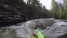
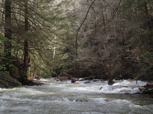
Bedrock Boogie (III). Some really nice bedrock boogie appears.
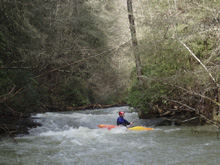
- White Pine Cascade (III+ to IV-). Unmistakable due to the size of the horizon line, this one warrants a scout if you don't know where to go. There are two parts to the drop, the entrance part is on the left side of the river and drops into a decent hole. We ran to the left of the hole. This then set you up well to run down the left side of the main slide which was smooth and easy. There was a center line on the main slide as well that resulted in a boof over a sizable hole at the bottom, it went, but you want to be straight for sure.
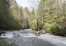
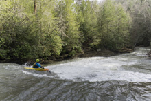
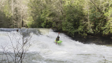
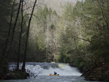
Boogie (III-). The river is just full of boogie, stay on your toes for the first ledge which only has small eddies above it.
- First Ledge (IV). I hoped out to scout from an eddy at the lip on the left. I then signaled the others through. The line was in the main channel (left half of the river), and was right of center in that channel. It is a boof over a ledge that would pack a punch at higher flows. Below, the river split into two channels, the left channel had wood so we exited right.
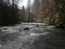
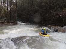
Boogie (III-). There was a log in here we had to sneak around, but then we got to a wonderful walled section of the river. Really this river was stunning throughout from a scenery standpoint.
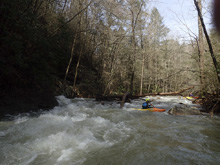
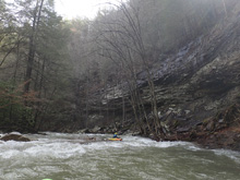
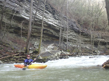
Undercut (III-). Downstream of the wall, there is a rapid where the majority of the water goes right, and into a wall. Rather than flirting with what looked to be a hazard, we just found a tongue left of center which avoided it all together.
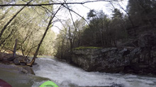
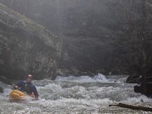
- Deep Pool Cascades #1 (III+ to IV-). There were two lines, both were blind, so I got out to scout on river right. The left line has a large single drop with a reasonable hole, but easy enough to line up. The right line was a multi-tiered slide. David ran left, Brandon and I right.
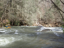
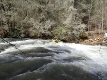
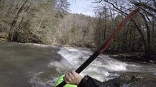
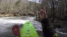
- Deep Pool Cascades #2 (III to IV). Just downstream of the ledge is a metal bridge on the left shore, spanning a sink. This signals you to catch an eddy on the left. The trail is river slide and climbs up the 30 ft to the bridge. We entered right of center to boof the nose in the center of the small, but powerful, ledge. Hitting it correctly cleared you easily of the hole below. The hole had a boil downstream so getting in it sideways could be bad. I imagine at high flows this is a legit hazard. The far left side of the ledge was also an ok line, less exposed than the center nose. And at high flows, I bet the far right shore's channel around the ledge is also good to go.
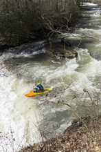
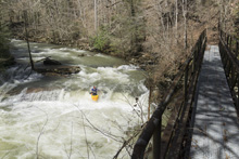
Runout Rapid (III to IV-). The biggest rapid on the run is the runout of the ledge. It might not have the big and powerful ledges or the impressive gradient of the slides, but this rapid last for the next 200 yards and is full of rocks to dodge and holes to punch. It left us all surprised as it had more spice than we anticipated and left us smiling with enjoyment.
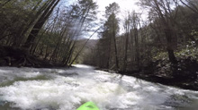
Boogie (II to II+). Downstream, the boogie eases up down to the confluence with Piney River.
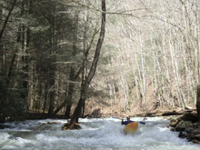
Hemlock Falls(II+ to III-). A small slide sneaks up on you, go down the right.
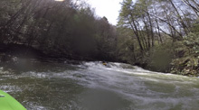
- Piney River Confluence. You will now have a fluffy paddle out on Piney. No, there are no big rapids downstream, but since the river is high, there are still some holes. Thankfully, it is a wide riverbed and any class IV boater should be able to read and run down, easily avoiding all of the holes.
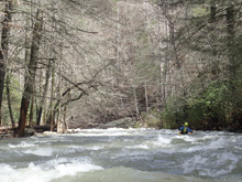
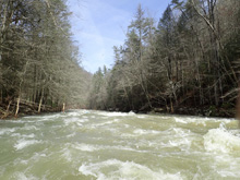
Take-out: Heading South on Highway 27 in Spring City, TN, turn right onto Piccadilly Ave. Follow this to Wasson Memorial (TN-68). Turn right. A quarter mile later, turn left on Shun in Gap Rd. Follow this to the park just before the bridge over the river.
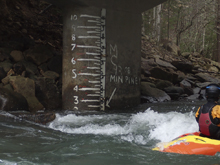 (pic taken a different Piney, non-Duskin, day)
Put-in: Continue on Shut-in Gap Rd, immediately crossing Piney River and climbing up the other side. After 5.1 miles, turn left onto Forest Camp Rd, which is also signed for Duskin. In 0.4 miles, stay left onto Walden Mt Rd. The road gets rough (2019). In 1.1 miles, you will get to the low water bridge on the creek. Park before it.
HTML Comment Box is loading comments...
