Dunlap Creek
| Stretch: | Sabo Road to Piney River |
| Difficulty: | Class III to IV |
| Distance: | 4.4 miles on Dunlap + 3.35 miles on Soak Creek |
| Flows: | 2" of rain in prior 6 hours. Visual Gauge at Take-out, 4.0' and not dropping on the Piney. New (2021) Steambeam Gauge should correlate 1:1 to the visual gauge. Look for 1.5 inches of recent rain or more. |
| Gradient: | 223 fpm average after the paddle in (mile 2.8) on Dunlap and 87 fpm Average on Soak Creek |
| Put-in: | Sabo Rd, culvert over the small creek |
| Take-out: | Piney River Trailhead access point. |
| Shuttle: | 12.1 miles, (20 minutes one-way) |
| Season: | Fall to Spring, Rain fed |
| Written: | © 2021 |
My parents were in town, so for the first time in a year we had an opportunity to kayak and get be gone all day, see some new rivers, and not have to add risk due to Covid (we haven't used a babysitter during the pandemic). So, checking the rain gauges, I saw that the Piney area got hit hard and likely the tributaries of Piney River were in.
Speaking with Kirk, I misspoke and invited him on Duskin (which I did a few years ago, and is just a few miles upstream in the Piney drainage) and he declined as he too had done it. Afterwards I realized the error of my words as he mentioned he hadn't done Dunlap before. But, Trembly was game for joining, so we had a group.
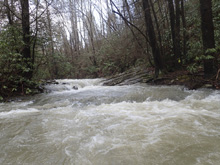
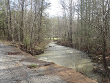
You want to check Soak Creek from the takeout to ensure it is high and brown. If it isn't, this small tributary of Soak (which confluences with Piney at takeout) will certainly not have water. As it was, I think we were a few hours late for Dunlap as it is insanely small at put in. At put in two very small creeks join to create one simply small creek 100 yards below put in. We could tell it was low, maybe very very low. But it seemed enough to generally float down which bumping rocks, so we did the old "well we are here" and put on.
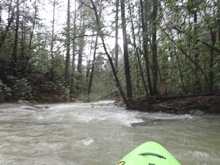
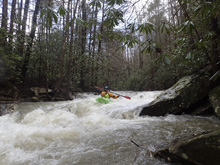
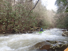
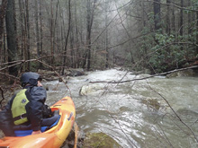
The run starts with flats and wood choke. We had to get out almost immediately for one log, but after that we were able to stay in our boat with mild and aggressive log maneuvers. More water would make some of those portages probably. You eventually get to a low bridge that will require a portage. Below this, things start to get interesting. Stay on your toes though as throughout the run wood was in play. In the middle of the steepest section the river took a sharp left turn and there was wood that required a sneak in a small right channel. You soon come to a spot where large boulders block the channel. We ran a sweet slot boof on the right here. The next rapid is one of the largest on the run and is a cascade drop into a slot with an undercut right wall. Below, was another congested drop which we boofed far left. One more good sized drop we had to portage the top drop due to wood and put in half way down. Not long before you his the confluence and get ~4x the water. The rapids start off mellow, with wonderful scenery and one large overhanding cave feature. But soon, the rapids pick up and you get some big splashy rapids and a few large sticky ledges to keep you honest as you work your way down to take-out.
While we had what I would call absolute minimum flow for an enjoyable experience on Dunlap, I did think it was fun and worth doing. I imagine with more water the rapids would be more fun, but the wood situation would require even more diligence. With that, I would say this run is not a classic, but worth checking out for something different on the days when it rains a lot and Piney is high. We had Piney at 4.5 or so and dropping. I think we were a few hours late as I would have anticipated Piney to be higher when we took off but it wasn't, it was a quarter foot lower.
Mi 0.0:
- The creek starts off small, super small, after 0.1 miles it gets a little help from a tributary. The name of the game here is tree dodging and portaging in flat water.
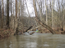
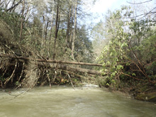
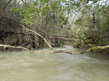
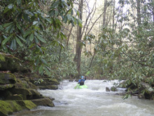
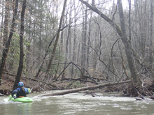
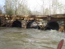
- Bridge (P). A private road bridge will require a portage. Below here it improves quickly. A few small boogie rapids get you to where the river becomes worthwhile.
- Pinch Undercut (III+ to IV-). Perhaps the biggest rapid on the run, this rapid has a rocky entrance that can be run a number of places which then pinches down through a small hole, note that the right shore is undercut here, but it isn't terrible. Boogie (III- to III). More fun, scenic boogie is downstream.
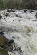
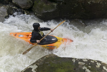
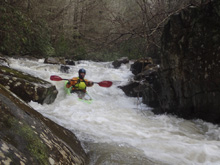
Right Slot (III+ to IV). The first properly blind from above rapid comes at you. We did a boof off the center shoulder in the right channel, this then had a bit of a rocky runout.
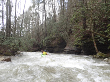
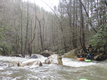
Left Slot (IV- to IV). Another steep ledge, this time best run off the left shoulder, boofing to clear away from the rocks in the center of the river.
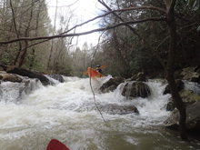
Boogie (III). Fun read and run needs to be eddy hoped as trees are an ever present danger.
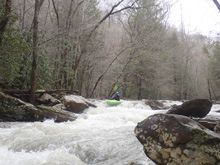
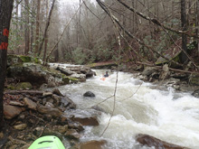
Last Dunlap Rapid (III to III+). We had to portage the entrance due to wood, but the bottom was a fine little ledge that we ran right to left.
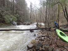
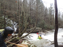
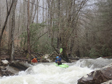
- Soak Creek Confluence, the creek comes in on the right and you now paddle out on Soak Creek. The water is likely at least fluffy, if not properly high, and for most, this will likely be the place where trouble is found as a few holes are big.
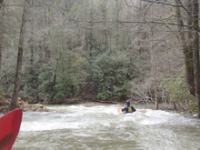
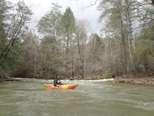
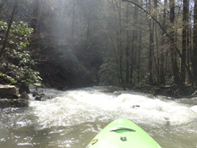
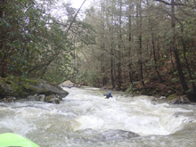
- Cave (II). A very pretty and scenic cave is on the right. Rapids continue below and are generally class II to III-
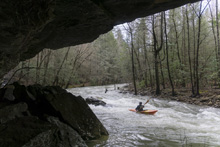
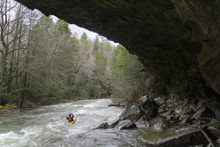
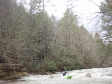
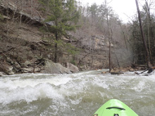
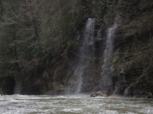
- Cumberland Trail Rapids (III to IV). The small rapids give way to larger rapids right near where the Cumberland Trail comes back into sight on the right shore. Stay on your toes for the ledge in the second one which you will want to boof as it is rather sticky. Note, it is only a 1.5 mile hike to hike up here from the bottom with basically no elevation gain other than the river's gradient.
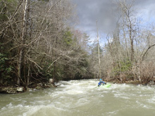
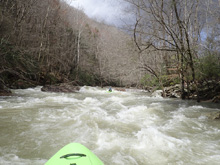
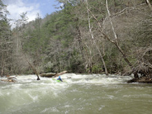
- Surfs Up (III). A slidy section one mile from take-out, near the Little Piney Creek confluence, offers some fantastic surfing.
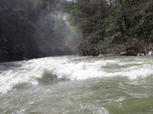
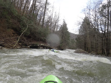
- Piney River Confluence, ferry across and take-out.
Take-out: Heading South on Highway 27 in Spring City, TN, turn right onto Piccadilly Ave. Follow this to Wasson Memorial (TN-68). Turn right. A quarter mile later, turn left on Shun in Gap Rd. Follow this to the park just before the bridge over the river.
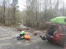
Put-in: Go back out to TN-68 and turn left. Climb the ridge and after 6.5 miles turn left on Jewett Rd which 1.7 miles later turns into Happy Top Rd. After another 2.1 miles, turn left onto Sabo Rd and descend the dirt road for 0.6 miles. You will cross two micro creeks, we drove over both and parked on the far side where there was a nice off the road spot. Those micro creeks are your put-in.
HTML Comment Box is loading comments...

