Dinkey Creek (Superdink!)
| Stretch: | Infinislide to Old McKinley Grove Bridge |
| Difficulty: | Class V- to V |
| Distance: | 4.0 miles |
| Flows: | ~110 to 250 for Infinislide. >200 for the Rest of the Run. Current Dreamflows gauge |
| Gradient: | 289 fpm average (First mile is 440 fpm) |
| Put-in: | Old cow Creek Quarry... then hike |
| Take-out: | Old McKinley Grove Rd Bridge |
| Shuttle: | 8.4 miles. (20 minutes one way) plus a 1 mile hike (40 minutes) |
| Season: | Spring from snowmelt. |
| Written: | © 2012 |
| Featured in Video A Wet State #61 | |
Dinkey Creek is certainly best known for the section of river below Ross Crossing, known as The Waterfalls. A testament to how good that section is as some 20 miles upriver is the Infinislide. As long as I can remember I have wanted to run Infinislide. Almost a mile long, dropping a few hundred feet in a long continuous slide, with a few ledges to spice it up and ending in a 20 foot falls... it sounds (and looks) like heaven. So finally, this year (2012) we motivated to head out and drive the 4.5 hours to Shaver Lake and the nearby Dinkey Creek.
The first day of our trip, we boated the Cherry Bomb section and found the water very low. With that experience fresh in our mind we begin to think that we will have a good but low flow for Infinislide the next day but will likely have to walk out after running it rather than running down the reportedly manky paddle out of the run. That night however, we run into some friends who had just had an exhausting day hiking in and finding high water that resulted in the slide not getting run and in fact the water being so high that the runout was too high and thus forced them into hiking back to the put-in car. Admittedly thinking we were doomed, but unwilling to change the plan, we stayed the course and went to see the truth ourselves the next morning.
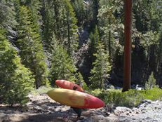
After hiking in (took way longer than expected, nearly an hour... I think it can be shorter though) we found the water indeed high for the slide. Even being lower on the diurnal that our friends the afternoon before (we were there around 11:30, they were there around 3:30), the water was still too high for our taste. A few holes right near the end looked meaty, consequential, and nearly impossible to get through/around. However, lacking the desire to hike back out, we opted to continue down the run and make the most of our day, even if it were to be a portage fest. We found the run starts out with some fun slides and ledges, a few packed a good punch. The river then enters a few long complicated boulder gardens... we were actually having a great time, the rapids were great, the scenery good, where was the mank? Oh, it was just around the corner. The last several miles, the river traded off being really fun in tight gorges and being really steep and manky. We portaged one manky rapid early on. Later on, we got to the Portage Gorge which starts off with a few great rapids and then falls over 20 feet into a rock. The portage required friction climbing and ropes to lower boats. Just downstream, a dubious undercut forced us out again. Again, just downstream, another steep rapid which our scouting never did get a good view of forced us to extend our previous portage. Below, things again got manky. None too soon, we were in the Honeymoon Pool Gorge with one final portage around a wall check rapid and at take-out.
This day ended being a lot longer than we had anticipated. The river felt like plenty more than the 3.5 miles stated on AW. In the end, I am glad we didn't spend the hour or two at Infinislide that we would have had it been runnable. That would have gotten us off the river closer to 6 than the 3:30 time we got off as it was prior to the long drive home. If you plan to do the entire run, get an early start and keep your progress quick. With that said, I think it is also a very small window which Infinislide would be good and the paddle out would be good. It was certainly a bit manky for us... As such, I think I would plan on having to hike out after doing the slide at a lower level. The thought of which may prevent me from going back until I forget how much the hike would suck to do in the reverse direction. However, with the water we had, the section below Infinislide was actually fun and really pretty. Certainly worth doing on its own. So anyways, I am sure I will be back, because Infinislide is just that cool looking... but I will have to forget the hike first...
Mi 0:
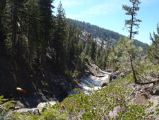
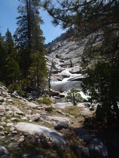
- Infinislide (V). We didn't actually get to run it... but it is a half mile long slide, steep and with several powerful ledges and holes leading to a 20 foot falls. The final slide was called Viagara back in the 90s, and the nasty twisty ledge not far upstream was called Twisted Mister.
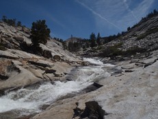
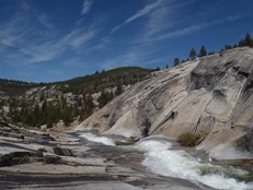
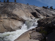
Rocketman (V). The first rapid below Infinislide slams you into the left wall. It looked very hard to avoid, so we quickly walked around it to put-in below. I believe this is the rapid referred to in the comment at the bottom of the page.
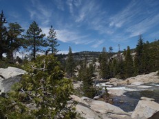
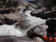
Smaller Slides (IV to IV+). A few small slides, ledges, and seams await just below the pool. We had looked at these rapids while hiking in so we made quick progress. There were three ledges that you will want to take a look at as if the water is too high they may become juicy.
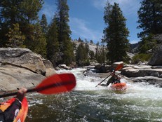
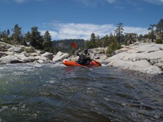
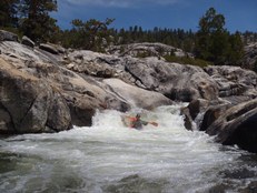
Two Tiers (IV+). The last slide has two tiers. The first is a straight forward slide down the middle which leads direction to a non-vertical 8-10 footer that lands in a sticky hole. We all tried to get right. Below is a somewhat manky rapid that we went right on.
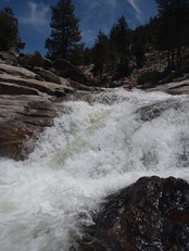
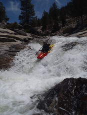
Pinch (IV+). Just below, is a pinch rapid that looked a bit spicy. It was a single move but landed into a big walled in hole. We were able to stay in our boat and scrap around it on a small granite channel on the right.
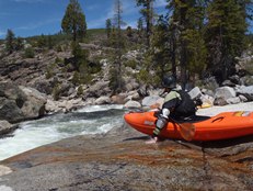
Cow Creek (IV+ to V). This was one of the best rapids of the run. Scout from the right. The first main ledge is maybe 8 feet tall and back by a rock. We went left over the ledge. Below is 50 yards of hole bashing goodness. A really fun rapid.
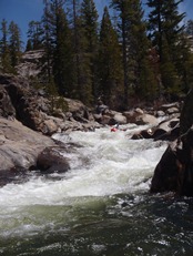
- Around the Outside (IV). A steep drop goes just fine moving far left then back right.
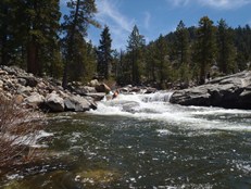
It gets manky for a bit for here... We had one portage around a particularly manky section that had a fence of rocks at the top and a piton at the bottom.
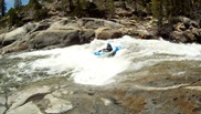
- Mini-Gorge #2 (IV to V): A really sweet gorge, started off with a bang. A ledge that had a big hole in the center and a nice boof on the left (that slams you into the wall) before running out. Diane went left and only had minor contact with the wall. I went for the nose of the boof and nailed it but still went deep. Below, a few nice boofs followed by a double drop run down the middle.
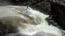
It gets a bit manky again, but surprisingly there is a fun rapid or two in this section.
- Mini-Gorge #3 (IV to V): This is actually kinda the paddle in to the Portage Gorge... and there was a potential portage in here too. The main rapid is blind and steep so we scouted on the left. After a few easy ledges, the river pinches on the left wall then goes off a off-angel ledge pushing you into the right wall. From the river right scout, the wall looks horribly undercut (can't see it, but from reading the water). It turns out there is a nice ramp down the wall leading down to the eddy below. There is one manky rapid best run down the left below. And then a ledge we snuck around by scrapping around it on the right. This takes you to the start of the portaging.
- Portage Gorge (V to U). The first drop is unrunnable. A 20 foot drop into a rock that then deflects either into the wall or into a sieve. Portage right around the house size rocks. Lowering the boats back down and friction climbing (bring your 5.10's!) down. A few runnable rapids lead to a boulder chock which is runnable but is followed by a slide into a nasty undercut. We chose to walk left. Below is another drop that we tried to scout but could not get a vantage at. It looked big and gross from what we could see. We continued our previous portage on the left. There was a 10 foot ledge just below that we ended up portaging in continuation as well due to difficulty of getting back down to the water. We put back in by down climbing a Manzanita ravine. Then went 50 feet, scouted another drop that went but were instructed to portage (right) from our one scout designee. It is a 10 foot boof with a reconnect. It wouldn't have been pretty, but would have gone in hindsight.
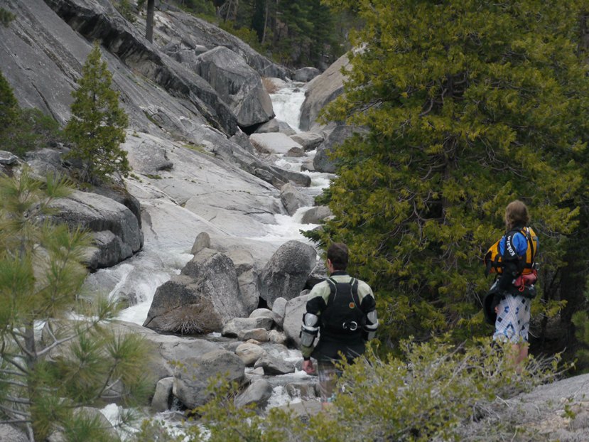
It gets manky again until Honeymoon Pool. If the campground is open, you can take out at the top of the campground. It was not opening until Memorial Day this year (2012) so we continued down to the first bridge.
- Honeymoon Pool Gorge (IV to IV+). Several fun rapids and one potential portage await. The first is a slide that can be run anywhere. The second is a ledge that we ran in the middle, just off the rock on the right side of the river. The third was the portage for us where the river slams into the wall before dropping over a sticky ledge. We portaged easily on the right. The last main rapid was a nice three tiered rapid run down the left the whole way. A little bit of mank later, we were at the bridge... very tired and happy to enjoy a beer.
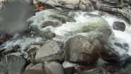
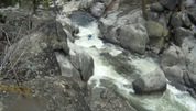
Take-out: From Shaver Lake, take Dinkey Creek Rd East off of Highway 168. Follow for 11.5 miles. Turn right on McKinley Grove Rd and cross the Creek. Turn left on the first road and continue for 0.3 miles to the dead end and old bridge over the creek.
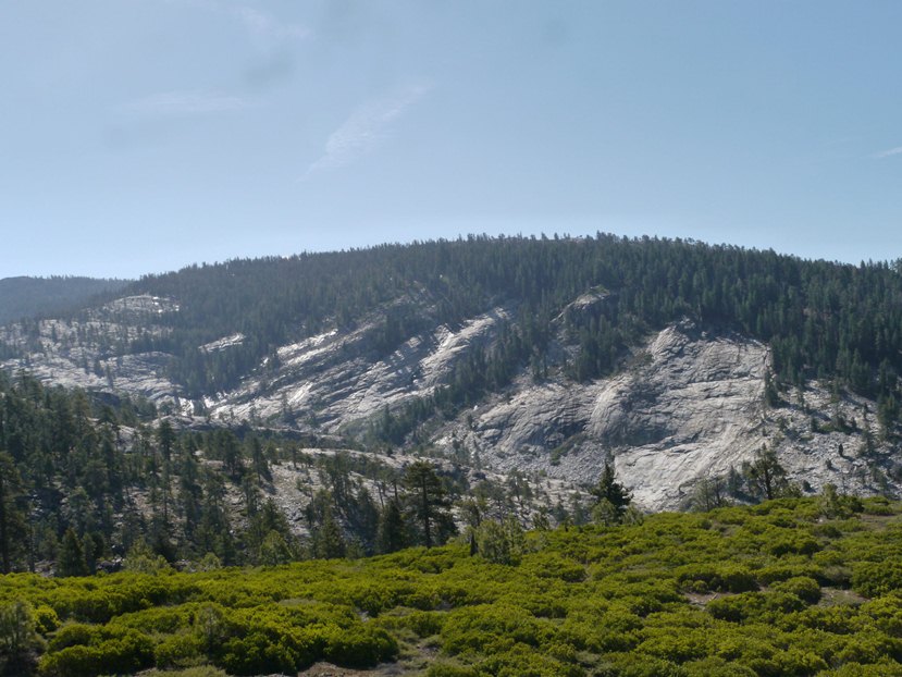
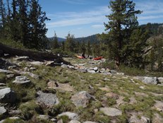
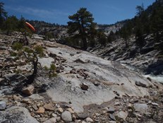
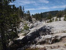
Put-in: Go back to Dinkey Creek Rd and go back towards Shaver Lake for 2.7 miles. Turning right on the nicely paved road marked 9S09. Follow for 5.2 miles to the dirt road leading down to the old quarry that can be seen from the road. Then start hiking... follow the ridge for a little bit and drop down to Cow Creek and cross it. Move downriver and head up and over the saddle when it becomes somewhat obvious... this will drop you at the base of the slide.
HTML Comment Box is loading comments...
