Dinkey Creek (Cherry Bomb)
| Stretch: | Dinkey Creek Campground to Logging Spur Road |
| Difficulty: | Class IV to IV+ |
| Distance: | 5.4 miles |
| Flows: | 250-500 cfs. Current Dreamflows gauge |
| Gradient: | 126 fpm (Cherry Bomb Gorge is 200 fpm for a half mile) |
| Put-in: | At the top of the campground or at Old McKinley Grove Rd Bridge |
| Take-out: | Logging spur road off of Ross Crossing |
| Shuttle: | 6.5 miles. (15 minutes one way). The last 0.5 miles are on a CRV or better dirt road. |
| Season: | Spring from snowmelt. |
| Written: | © 2012 |
| Featured in Video A Wet State #61 | |
The Cherry Bomb section of Dinkey Creek (not to be mistaken for the Cherry Bomb Gorge on Upper Cherry Creek) has been a long time interest of mine. However, it is far away from home and as such I had never motivated the drive out to it. This year however, with a dismal season behind us and very few new runs under my belt I called up my friend Steve Schmitt to inquire as to his interest and the trip was planned.
Take-out it a bit of a challenge to find and should be scouted prior to putting on. There is a steep unmarked trail leading down to the water just prior to a very walled out and dangerous gorge. Once we had located the trail and marked it, it became apparent that the river was low. We first tried to get up above Honeymoon Pool for the first gorge, but the campground was chose so we decided to put on downstream at the bridge. Upon arrival at put-in the reality fully set in, the flow was very low. However, it also looked like it would be enough to float down so with hopes that downriver the gorges would tighten up the flow and fill it in we set off.
It turned out, the flow was adequate for the main granite gorges, however it was in fact very low for the in between. Many sections were shallow rapids where hitting rocks was unavoidable. However, the amazing scenery in the granite walled gorges and the fun rapids in those gorges certainly helped to make the day worthwhile. In total, I imagine that with proper flow, this run has to be one of the best class IV-IV+ runs around thanks to the scenery. Hopefully, I will find myself there again at some point in the future... this time with more water than the 190/250 cfs diurnal that we had at the Dinkey Creek Gauge.
Mi 0:
- Honeymoon Pool Gorge (IV to IV+). Several fun rapids and one potential portage await. The first is a slide that can be run anywhere. The second is a ledge that we ran in the middle, just off the rock on the right side of the river. The third was the portage for us where the river slams into the wall before dropping over a sticky ledge. We portaged easily on the right. The last main rapid was a nice three tiered rapid run down the left the whole way. A little bit of mank later, we were at the bridge... very tired and happy to enjoy a beer.
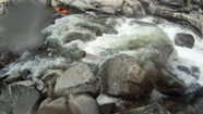
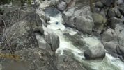
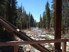
- Redwood Truss Bridge: We put-in here due to the campground not being open yet.
Highway Bridge: Just downstream, only a few class II-III rapids between the two put-ins.
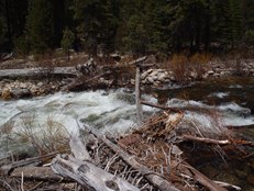
- Gorge Entrance (IV). The first noticeably steeper rapid, transitions from the cobble riverbed to the bedrock of the first gorge. We ran down the center to the hole awaiting at the bottom. A few nice and easy rapids are in the gorge prior to the bend in the river.
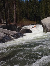
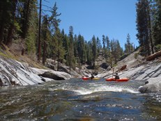
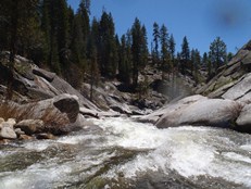
Drop before Nemo (III-IV). A steep drop against the right wall. Straight forward but a bit turbulent.
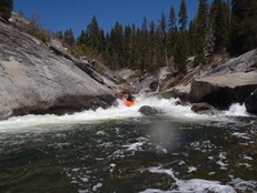
Captain Nemo (IV to IV+). One of the hardest rapids on the run. Diane entered right moving left and then straightening out. I went down the left the whole way and it worked great. There is a good hole at the bottom that we just blasted straight through. A few small ledges are downstream before it opens up for a while.
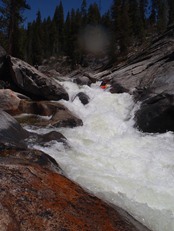
- Camp El-o-Win: on the right and left marks an access point.
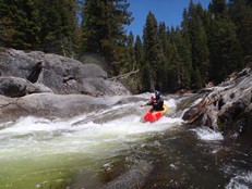
Gauge Drop (IV). A steep drop with several sieves in play. We ran the left most channel down a double drop.
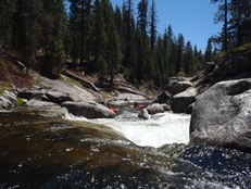
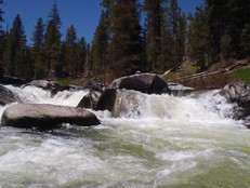
Some mank before bedrock starts back up...
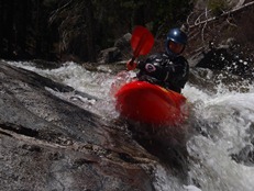
- Distinctive Slide (IV). A straight forward slide but still fun. Find some deep water
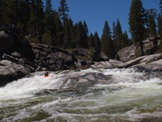
Walt's Ledges (IV to IV+). At low flow, the first couple ledges were easy. Boofing around them. The first one (boof far right) was the scene of an unfortunate accident where at higher water the ledge becomes a keeper hole and a fatality occurred. You can get out just below to scout Cherry Bomb proper on the left. At the low flows, we ran the last ledge on the left which contained a few good size holes and eddied out at the lip of Cherry Bomb on the right to portage. Not sure if that is an option at higher flows.
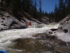
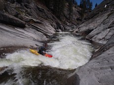
Cherry Bomb (IV+). I always envisioned this being a 15-20 foot tall drop. I don't know why... instead it is like 6 feet tall. From the eddy at the lip, and due to the tree on the left side, running it was not a great idea so we portage on the right at the lip. If we had scouted it on the left from higher up, we would have straight shot-ed the rapid boof down the right side. Oh well.
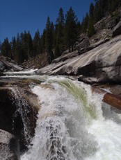
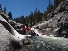
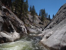
Max Headroom (IV?). OK... AW call it a IV. We portaged it. The river falls under a massive undercut that looked really nasty. With more water I think you could grind the left wall and avoid it. But at low flows there was a step on the wall that looked like would reject you into the undercut/cave.
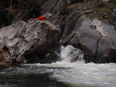
- LA Riot (IV). A fun long rapid is the last real rapid of the day. Enter left and drop down through a few holes. We caught an eddy and realized there appeared to be a good hole just downstream. Diane opted to probe it down the left and cleanly boofed the ledge.
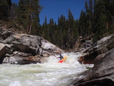
A short distance of boogie leads to the take-out that you hopefully marked prior to putting on.
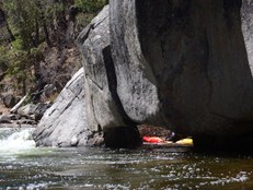 (Near the End)
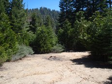
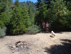
Take-out: From Shaver Lake, Take Dinkey Creek Rd East off of Highway 168 for 11.0 miles. Turn right on Ross Crossing (the sign is horribly faded). Stay left at the immediate fork. Follow for 3.5 miles (there was another fork that we stayed left on too). At 3.5 miles turn left on the small dirt road dropping down to the left. It is a bit tight, you will scratch your car. About halfway down the mountain there will be a nice clearing on the left. This is the parking. You know you have passed it by 100 feet if the road ends and you have to reverse up the road. On the far side of the clearing, amongst the trees, find the over grown trail that after 15 feet opens up into a more noticeable trail. Follow it down to the river to mark take-out before putting on.
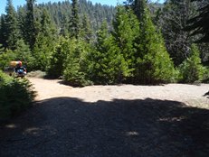
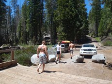
Put-in: Head back to Dinkey Creek Road. Continue for another mile to the lower bridge over the Creek, or cross and turn left on Old McKinley Grove Rd and continue up another half mile to the upper bridge. Or continue up Dinkey Creek Road through the campground (if open) and put-in at the top of Honeymoon Pool Gorge for an added section of whitewater.
 (Upper Bridge, below Campground)
HTML Comment Box is loading comments...
