Deer Creek (Below Wildwood)
| Stretch: | Lake Wildwood to Mooney Flat Rd |
| Difficulty: | Class IV |
| Distance: | 2.7 miles |
| Flows: | 700-2,000+ cfs. Current Dreamflows gauge |
| Gradient: | 120 fpm average |
| Put-in: | 0.7 miles below Lake wildwood on Mooney Flat Rd |
| Take-out: | At Mooney Flat Rd Bridge |
| Shuttle: | 2.7 Miles (5 minutes one-way) |
| Season: | Winter from Rain |
| Written: | © 2012 |
I will keep this one brief. Last year after I got on Squirrel Creek, which has a mile or paddle out on Deer Creek, I was intrigued to boat the mile or so of water above the confluence on Deer Creek. So this year, with a very dry season in California, I took one of the few opportunities I have had thus far and took advantage of a March storm and headed to Deer Creek. Darin and Cody went in last year and reported if you put in at the dam, you begin with a horrible portage and one very large slide. After speaking with Rory, she mentioned that years ago she rafted this section and found pleasant home owners who allowed them access across their property. This was the plan that we approached with and sure enough we found a very nice set of home owners who although worried for our safety allowed us access to the river through their property. By putting in lower, we were below the portage but also below the large runnable slide. What we found at our put in was one last significant and fairly manky rapid before it cleaned up into read and run class IV. This is one that I probably won't go back to. I enjoyed Squirrel Creek more, and the best rapids on Deer or below the Squirrel confluence. Also, this run is so short that it makes the drive too long in comparison. Also, if you weren't given access by the landowners... the portage through poison oak sounds horrible and not worthwhile either. So in short... it is here... but if the water is up, get on Squirrel.
Thanks to Darin McQuoid for his contribution of photos.
Mi -0.7:
- Big Slide (V+). We didn't get to see it where we put in. but Darin reported big and bumpy with a big hole at the bottom and a sieve on the left.
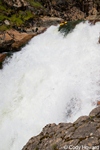
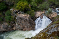
- Manky (IV+ to V). Manky followed by a weird hole and a sieve for your mistakes. The scout was really hard and through poison oak on the left. The lead in had a tree across it (2012) and thus necessitated getting out even earlier with more thorn bushes and poison oak between you and the scout... which then for us turned into the portage.
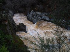
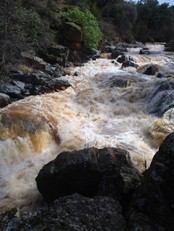
It turned mellow for a while. Class III read and run.
Conclusion (IV). A two set rapid appeared as a good size horizon line. We got out on the left to scout and found that the right line was easy. The second tier also was boat scoutable on the left and runnable throughout. Squirrel Creek came in below so I am going to pirate that write-up for the rest...
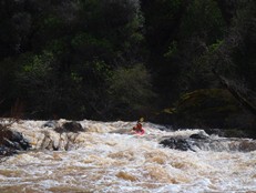
- Deer Creek Confluence (IV+). As soon as you reach the Deer, you will look downriver and be a bit intimidated. The rapid stretches on and looks massive. Luckily it works out. There are a couple of easy ledges at the top, though at higher water I can imagine these ledges pack a punch. Figure out the middle however looks good to you, there are a couple of eddies on the right shore, we used these and then hugged right around a weird curler. We finished on the far right on the shore which led to a slide into a hole. It looked like driving across the river and finishing left could work too if you were so inclined.
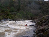
The Corridor (IV). Below here, there was one somewhat blind rapid that had a corridor through willows leading to a small eddy stuck out in the middle of the river. Center looked bad, we went left and hugged a big rock/island on the right and boofed down a 5 foot ledge. From there we went right but then had to ferry back left do to a closure of the channel thanks to willows. Always be ready for willows, don't go around any blind corners etc.
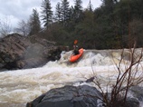
Boogie (III-IV). Lots more fun read and run boogie for the remaining mile or so to take-out.
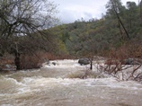
- Whatever you do, do not boat under the bridge at take out... catch an eddy above it. Also, this is likely private property so be quick getting out.
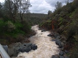
Take-out: From Grass Valley, take Highway 20 towards Marysville. Follow for 12 miles to Mooney Flat and turn right and follow for 1.4 miles. Just past the bridge, there is a wide turn out on the right. Just don't block the gate like it request. There is probably room for 2 cars here.
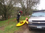
Put-in: Go up Mooney Flat Rd for 2 miles until you see the "dam" and then turn back for either a tenth of a mile or look for home owners near the first driveways.
HTML Comment Box is loading comments...
