Deer Creek (Nevada City)
| Stretch: | Nevada City to Bitney Springs rd |
| Difficulty: | Class IV-V Then? |
| Distance: | 6.5 miles |
| Flows: | 300-750 cfs (~3' to ~5' on the gauge) |
| Gradient: | 197 fpm for 1 miles, then 43 fpm average for 5.5 miles |
| Put-in: | In Nevada City, off of Sacramento St. |
| Take-out: | Bitney Springs Rd |
| Shuttle: | 10 miles (10 minutes one-way) |
| Season: | Winter/Spring from Rain |
| Written: | © 2011 |
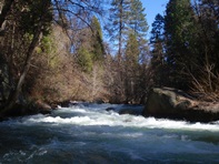
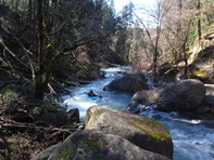
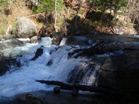
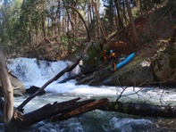
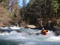
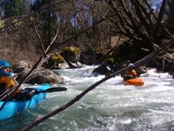
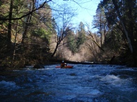
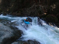
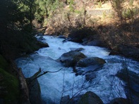
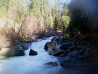
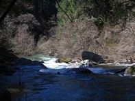
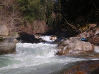
Admittedly, we didn't make it very far down this section of creek. I had heard that there was some fun stuff in here in the class IV range and a few with more consequence. What I didn't expect was wood in every drop, sieves galore (one was the biggest, most unique sieve I have ever seen), and berry bushes in places so thick you had to walk over the river (literally) using the berry bushes as a bridge. With all that said, I will probably go back and put in a little further down to continue exploring. I feel like the flow we had, 4.0 feet on the Bitney Springs bridge gauge was ideal for this section.
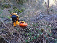
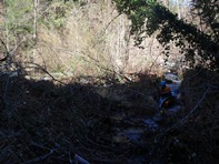
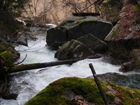
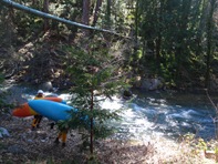
We put-in in town, downstream 100 yards from the Highway 49 over cross. Below, rapid with major wood hazard but was runnable, so we ran it. Below was a log jam portage, a sketchy runnable log jam, and a good sized class IV- with wood forcing you to flirt with a sieve (though it went well). Below, was a very large rapid with several bad places to be. The rapid would have been easier if the left side didn't have wood in it. Instead, yet again you would be forced to flirt with a couple sieves and tight pinches. We walked with effort on the left. Below was another class IV that needed a little more water, followed by the blackberry portage from hell. Once back at runnable river, we scouted the next drop and found it had wood and a massive sieve. At this point, we decided that this is not what we had in mind for the day, due to dry suit abuse and concern over Diane's still healing ankle, we opted to hike out steeply to the road 100 feet up on the right. It turns out we were about 0.2-0.3 miles from the release of the tight(ish) gorge and I think things would have gotten markedly easier and cleaner at that time. So, as Champion Mine Rd parallels the river at this time, I think I will find a nice place to put on below the gorge with a new group of unsuspecting friends and try my luck again!
For the record we only made it 0.75 miles. At mile 1.0 would be a great river access off of Champion Mind Rd. The next 3 miles looks mellow though perhaps a little woody down to Little Deer Creek Rd. As does the next 2.5 miles down to Bitney Springs.
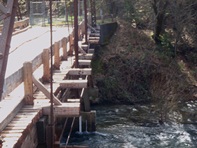
Take-out: Take Rough and Ready Rd out of Nevada City and turn right on Bitney Springs Rd. Take Bitney Springs 1.5 miles to the bridge over the river. The gauge is on the old wooden bridge. We parked on river left away from the private property.
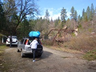
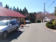
Put-in: Cross the creek and turn immediately on Newton Rd. Follow Newton Rd until it T's with Highway 49 and turn right. We parked at a Winery at Bridge St and found a homeowner who was nice enough to let us use their yard to access the river. It looks like just east of Highway 49 there may be a nice parking lot on the water off of Sacramento St. Figure it out for yourself if you are actually interested in this.
HTML Comment Box is loading comments...
