Cumberland River (Below Cumberland Falls)
| Stretch: | Cumberland Falls to Bark Camp Creek |
| Difficulty: | Class III |
| Distance: | 6.85 (Bark Camp Creek) to 10.1 miles (Laurel River Confluence) |
| Flows: | ~500 (would be very flat and slow) to ?0,000 cfs. Check out American Whitewater's current flow gauge and Lakes Online's lake level. |
| Gradient: | 14.7 fpm average |
| Put-in: | Below Cumberland Falls |
| Take-out: | Bark Camp Creek trail or Boat ramp at Laurel River Confluence |
| Shuttle: | 17.5 miles, some ok dirt road at the end. 25 minutes one-way |
| Season: | Year Round. (Best when lake is low in Fall/Winter) |
| Written: | © 2017 |
With very limited options on boating, and a new Jackson Antix that I really wanted to try, we looked for options where stern squirting would be possible. We ended up looking at a double day in Kentucky. Starting at the Rock Castle it was quite fun to see the river with 1/20th of the water that we had last time, some 500 cfs rather than 10,000 cfs. After a lap on that, we drove over to the Cumberland for tourist experience looking at the falls before finally putting on and running the river below.
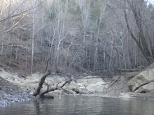
The river would be an absolutely classic class III run if it weren't for one thing. A lake paddle. And it isn't a short lake paddle either. We had a lake level of 706 ft which meant that all the major rapids were in, with the lake starting in the runout of Last Drop. We also did the hike out at Bark Camp Creek. Even with these items, the lake paddle was still a little over 2 miles. If the lake is 690 then the moving water goes all the way to Bark Camp. From the hike out location, it is actually another 2.5 miles on the lake to the boat ramp access. So your choice. 2.5 miles more of flat water, or a ~0.5 mile hike to your car? The hike seems the obvious option to me!
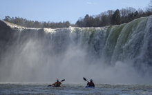
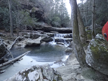
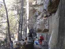
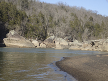
The run is classic however for several reasons. First, putting in below a ~50-60 foot falls (they advertise 60 but it seems like 50 to me honestly) is a spectacular site. Paddle up to the base of the falls, peak behind it... it is all fun! Then once you turn your attention downstream the scenery stays impressive which huge rock slabs and boulders creating unique river wall features. Finally the rapids themselves, none are that hard but they all have unique character, something that is a bit surprising for a river of this size which seem to result in featureless class III.
So, should you do this run? For sure. However, I honestly would not bother if the lake is above ~705. The lake paddle would just not be worth it if you don't get to run the rapids. Note that during the rafting season you can try to arrange a lake shuttle from the rafting companies.
Mi -0.1:
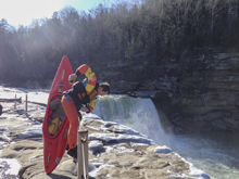
- Cumberland Falls (V+). While walking down the trail to put-in, take a look at the falls. But for an even better and unique view, paddle up the pool from put-in to take a look from the base of it! Note, it is illegal to run the falls. Though it of course has been done a number of times.
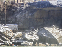
- Eagle Creek: Across from put-in is Eagle Creek. If the water is up high there is a cool 10-12 foot ramping drop into the Cumberland with the scenic 40ish footer behind it. At low flow the ramping drop is ugly.
Boogie (II). Fun boogie keeps you occupied. There really are limited flat water sections (at a medium flow). Great places for splats and squirts are abound!
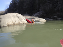
- Center Rock (III). The first larger rapid appears. It is two teirs. The first tier was a small ramp into a small hole. We just ran left into an eddy. Then, we ran center heading left down the main drop. The water funnels down and splits around a center rock. We went to the left of it. The water was squirrely for sure.
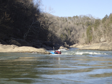
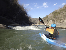
Boogie (II). More boogie, though mostly mellow....
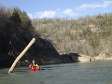
- Dog Slaughter Creek: Again, if the water is up, head up the creek for a perfect looking 12 foot waterfall huck session.
- Surfers (II+). What a fantastic surf spot! A river wide slide into a perfectly formed cushion. The water behind it is slow enough you can paddle straight up the river back onto the wave. We had all four of us surfing simultaneously. I tried to get a picture while we all surfed but flipped.
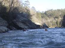
- Pinball (III- to III). A fun wave train is best run down the middle. There are some interesting eddies and boils coming off the right wall, so if you are unsure it is probably best to just stay in the middle.
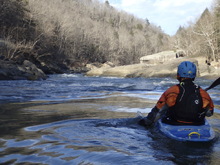
- Screaming Right (III+ to IV-). I have seen pics of this with less water and there are tongues down the middle. For us though the middle was a pretty sticky hole. The line was actually a bit tricky to hit and would be hard for a class III boater. We road up onto the curler on the right and used the slack water just behind it to move us back right, below the pocket on the right but before the hole in the middle. Definitely took edge control. There was a sneak far left that was a mellow ramp.
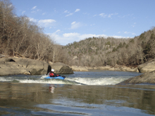
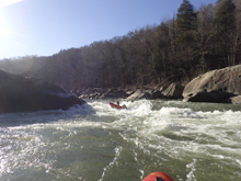
- Stairsteps (III). What a run rapid. This one is reminiscent of Pinball, but a little fluffier. And with much better play. There were multiple waves and holes on it that we surfed as we made our way down it. If you don't want to participate in those shenanigans, just stay center, maybe right of center to avoid some of the playable holes.
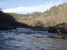
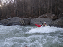
- Last Drop (III+). This two part drop sports the biggest horizon line of the day. The first teir is a ramp that you want to be heading right to left across to hit the softest spot of the hole at the bottom. Below, the river goes into a huge house sized rock. I don't know if it is undercut, but I would imagine if you swim above the chances are good you will head straight towards it. At lake levels of 705 the flat water starts immediately below. There is current still though until Devil's Creek at 705.
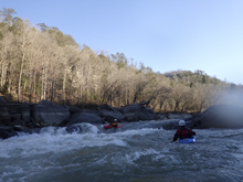
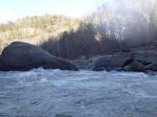
- Devil's Creek is on your right. We thought this might be Bark Camp Creek. It wasn't.
- Bark Camp Creek. This is where we took out. See the directions below for how to hike out. There is also one last small rapid here when the lake is below 690 ft. Also, if the water is up again... you can hike up and run some nice ledges and slides on this creek.
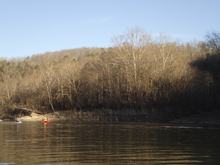
- I bet if you take-out at the boat ramp... you will be sick of flat water by this time...
Take-out: From Williamsburg KY, take Highway 75 north for 2 miles before exiting onto US-25W. Follow Us-25W for 8.7 miles before turning left onto KY-1193 N. After 4.6 miles you will turn left onto Bee Creek Rd. In 1.2 miles look for the small road on your left which is Forest Rd 193. In ~100 yards turn right onto the first dirt road you come to, follow this for ~1 mile to the parking at the gate.
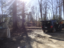
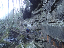
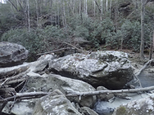
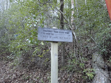
From the river: When you get to Bark Camp Creek (note there are a few small structures up just a short ways from the river on creek left), get out on creek left and climb 100 ft to find the trail. Follow this for ~150 yards to an old bridge site. You will need to rock hop to cross the creek to creek right. The trail then climbs from there. Stay left at a few forks, they will tell you it is a quarter mile to the top... I think it felt a little longer than that personally.
Boat Ramp Take-out: If you don't want to hike, google Cumberland Star Riverboat. This should work to find the boat ramp which is at the confluence of the Cumberland and the Laurel River.
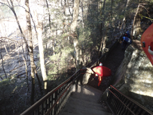
Put-in: From the Bark Camp Creek Take-out, get back out to KY-1193. Follow this for 5.8 miles to US-25W and take it south (right). Follow this for 2.7 miles to KY-90, I believe there are signs at this point for Cumberland Falls State Park. Follow this for 7.9 miles down to the river and turn right into the parking lot. If you cross the river, you went a few hundred yards too far.
HTML Comment Box is loading comments...
