Crab Orchard Creek
| Stretch: | WMA Rd to Mud Creek in Oakdale |
| Difficulty: | Class II+ to III+ |
| Distance: | 10.7 miles (+3 on the Emory) |
| Flows: | Visual Gauge at put-in. 1' is minimum. Check out American Whitewater's current flow on the Emory, we had 8,000 cfs and 1.1' on Crab Orchard. Gauge. |
| Gradient: | 44.8 fpm average |
| Put-in: | Bridge on WMA Rd |
| Take-out: | Park at Mud Creek in Oakdale |
| Shuttle: | 8.7 miles (15 minutes one way) |
| Season: | Winter and Spring, rain |
| Written: | © 2016 |
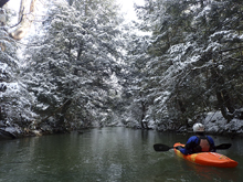
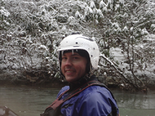
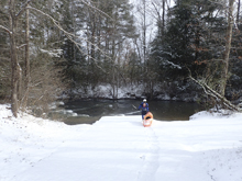
This is a nice, relatively mellow run very near Daddy's Creek on the Plateau. It requires a fair amount of water to get it going. The run is perfect for the class III boater who is looking for a nice long float that will take a good portion of the day. At 13.7 miles it is one of the longer single runs in the Plateau. For Jim and I, it took us a little over 2.5 hours of paddling downstream the whole time... but of course, going slow was not in the cards for us that day as the temperature never got over 28 degrees while we were on the water. Paddle strokes keep you warm!
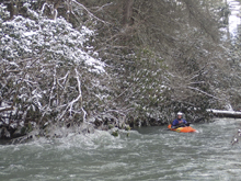
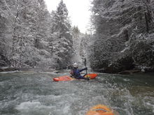
I don't have too much to say about this run, it starts with 2 miles of flat water as a paddle in. This then starts to have a few rapids here or there. The nice thing, at low flow the rapids were mostly class II+ or III-, but still had unique character to them as well as recovery pools below. That and the pleasant scenery combined gives the run is reputation of being a great novice run. I won't say it is a beginner run though as wood is plentiful on the run and the rapids require some sort of move. The wood aspect is legit. A few times we were even scrambling for eddies. We didn't end up having to get out of our boats but we did perform a few last minute eddies followed by limboing some logs. I am sure those would be portages for less confident boaters.
In the end, it was a great day out. A nice mellow river and a great option for us for the cold day when neither of us felt like doing hard whitewater... or anything that may require us to scout or portage as snow and ice was everywhere.
We had ~1.1 on the put-in gauge. Kirk's low side of good is 1.0'. I agree that I wouldn't want to go much lower. At 1.1 it was not overly scrappy, but it could turn that way very quickly. People also run it pretty high, but you would want to avoid the top 8 miles due to wood potential. The bottom is reportedly very fun when it is flowing fast. But be aware there is still a lot of brush growing into the channel and at those flows it would completely guard the shore.
Note: I could not locate the individual rapids on google earth due to the infrequent nature of the rapids. So all mileage is approximate.
Mi 0 to ~1.5: Mi ~1.5 to ~4.5:
- An occasional fun rapid pops up. Be aware there are lots of splits in the river here. Always stay on your toes as wood is plentiful.
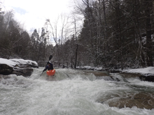
- Undercut Cave (II+). A small rapid leads to a wall on the right that is quite badly undercut. There is a fun eddy to catch at the top of it or you can just avoid the wall all together by staying left. It is a little bit nasty but only class II. A few small rapids then lead to the biggest rapid of the day
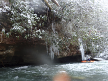
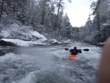
- Cluster (III+). Around mile 4.5 is a noticeably larger horizon line with a pool above. This rapid is pretty junky. The ideal line is down the far left the whole way. It is a little junky and multi-tiered.
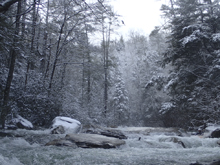
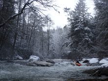
- Undercut Rock (III-). Not too far downstream is a rapid that if you start middle will want to type writer you left into an undercut rock. If you keep right momentum or just start further right, you will avoid it no problem.
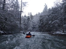
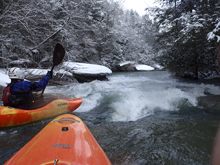
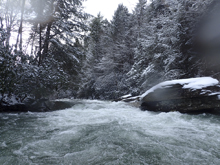
- A landmark I could measure. A sharp left turn and a pool with a nice house's gazebo area is next to the water. I found myself moderately jealous of this house.
Things were pretty mellow from here to the bridge downstream
- Camp Austin Rd passes overhead via the overpass. This is sometimes used as a flood stage put-in... though not far downstream is some constricted channels due to overgrowth... that might be a bit scarry!
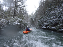
Not far downstream, Camp Austin Falls comes into view on the right.
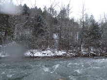
- Slides (III-). You then get to a cool section of easy slides, some short and some rather long and cruisy. Really fun
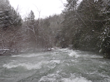
- Mill Creek Falls (V). A trib on the right ends with a spectacular 25 foot falls. If the water is high, you can run the falls. Just note that the land around it is private so stealth mode is required.
- Emory Confluence arrives and you find yourself on a healthy amount of water to cruise downriver for 3 more miles of class I down to the take-out. While we were on that part of the float... I saw a cool sight that I had never seen before. A large log was caught between trees and was spinning like a crank shaft... super cool. I can't imagine what the odds of that happening are!
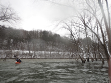
Take-out: Off of Highway 40 in Harriman, take exit 350 for TN-29 toward Harriman / Midtown and turn right onto TN-29. Follow for 2.2 miles and turn right on S. Roane St (TN-61) and follow for 1.6 miles. Cross the Emory and turn left after a few hundred yards on Georgia Ave which quickly turns into TN-29A and then into TN-328. Follow the road along the Emory for 4.2 miles to TN-299 and turn left and quickly turn right on Camp Austin Rd. Just after Mud Creek (which comes immediately) there is a park on the right. You can park here.
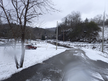
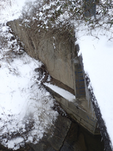
Put-in: Go back to Airport Rd, turn right and cross the river. Continue on Airport Rd for 6.7 miles before turning on WMA Rd. Follow this for 1.1 miles down to the bridge over the creek. The gauge is on the upstream river left side.
HTML Comment Box is loading comments...

