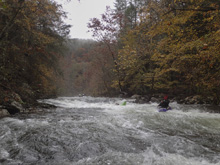
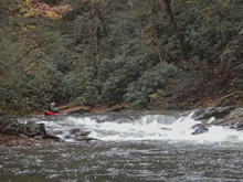
Conasauga River (Upper)
| Stretch: | Chicken Coop Gap to Old Highway 2 |
| Difficulty: | Class III to IV |
| Distance: | 7.4 miles |
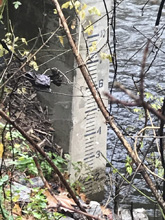
| Flows: | 10"+ to 24" on the bridge (we had 1,600 cfs and steady on the Holly Creek Gauge) . Check out American Whitewater's current Holly Creek flow gauge |
| Gradient: | 130 fpm average from miles 3.05-4.05, 59 fpm total |
| Put-in: | Chicken Coop Gap |
| Take-out: | Old Highway 2 Bridge |
| Shuttle: | 9.5 miles, 25 minutes one way |
| Season: | Fall, Winter, and Spring from rain. |
| Written: | © 2018 |
Though 50% of boaters access the river here, we were part of the other half who access the river upstream. I think that the section upstream is just a smidge harder, and not because of any moves in particular but due to the fact that it is less pool and drop. This lower section has big crescendos but mellower in between. With that said, other than Chernobyl on the upstream section, I would say the two are on par with each other.
After a short paddle in you get to the first bedrock which then slowly picks up to some bigger rapids. The first is Room of Doom, a smaller version of Hammer Factor from the Green Narrows that is more straight forward but also with a worse pocket for those who fall off early. Don't fret though, it is super straight forward. Not too far downstream you get to the what some in our group considered the crux of the run, Whale Tail. Downstream, you get to the Entrance of Pinball which in my mind was the crux as this long and pushy rapid lead to Pinball, which while fairly straightforward did pack a very large sieve on the left. Below, things mellow back out as the river opens up into the valley. Current continued all the way to the bridge where we took out.
We had 1.2' on the gauge which was a perfectly fun flow. I know people run it plenty lower, I thought this was a nice flow... probably not quite medium, but all the rocks were covered which was nice.
Mi 0.0:
- Boogie (I to II). The paddle in continues from the upper upper section's paddle out and is broken up only by one or two brief sections of rapids.
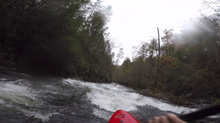
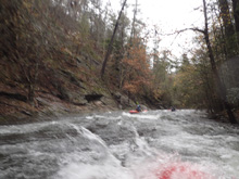
- Bedrock Slides (III to IV-). There are several nice bedrock slidy drops in this section. They last maybe 0.5 miles give or take. They were all read and run. The two biggest were the first as I recall.
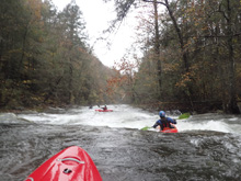
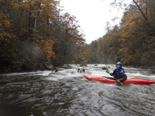
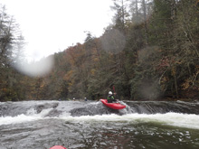
- Room of Doom (III+ to IV-). Similar to the bottom move of Hammer Factor on the Green River Narrows, this one is smaller and more straightforward, but also worse if you somehow venture far right. Instead, just drive onto the right shoulder of the midstream boulder and gently slide off downriver to the right.
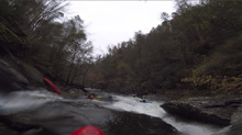
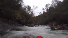
- Whale Tail (IV). Some people in our group thought this was harder. I agree it was tricky, but I still think it was just class IV. We ran starting in the right eddy and ferry out into the middle, maybe a smidge left of center where we straightened out and ran down the ramp into the hole/seam combo that is the tricky part. Tuck up if you flip, as I think it was shallow just below it.
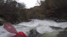
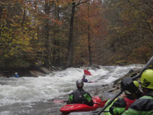
- Pinball Lead-in (III+ to IV-). This was probably the most fun section of the Upper section of the Conasauga. This long rapid goes for maybe 150 yards and consists of a few bunch wave holes to maneuver. We ran down generally left. There was then a brief lull above Pinball proper. You can eddy out on the right and scout if you want.
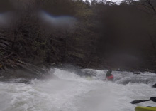
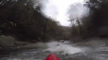
- Pinball (IV- to IV). I thought this one was a smidge harder than others thought. It is a congested entrance, avoid the far left (easy to avoid) which ends in a car size sieve. Just stay right of center which eventually ramps down into a cushion and over a shallow f-u rock. At our flow, we just sailed autoboofs off the submerged rock. If you were upside down, it could destroy you.
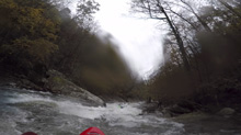
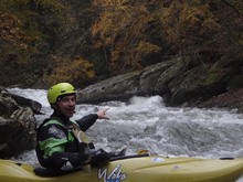
Boogie (II then I). Things mellow out quickly.
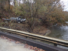
- Old Take-out. The road gets next to the river, this used to be the take out. Due to land owner encounters, it is asked that you paddle down to the bridge 2 miles downstream.
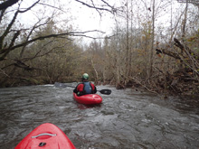
Take-out: From the town of Cisco, GA, on highway 411, take Old Highway 2 east. It quickly turns to dirt, stay on the main road. Follow it for 7.1 miles to the bridge over the river. The gauge is on the upstream, river left side.
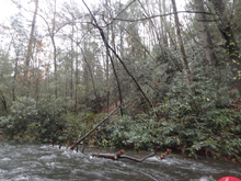
Put-in: Go back towards Cisco, going 4.0 miles. Turn left onto W Cow Pen Rd. Climb for 5.5 miles. Look for a turn out. It is where the river is close to the road (though down a steep hill). It is a slick slide down to the water apparently.
HTML Comment Box is loading comments...

