Colorado River (Gore Canyon)
| Stretch: | Blue River Confluence to Pumphouse Recreation Area |
| Difficulty: | Class IV to V |
| Distance: | 9.25 miles |
| Flows: | 500 to 4,000 cfs (been done up to 8,000 cfs). Current American Whitewater gauge |
| Gradient: | 93 fpm from mile 3.9 to 6.9. 43 fpm paddle out |
| Put-in: | Access at the Blue River and Colorado River confluences |
| Take-out: | Access at Pumphouse Recreation Area |
| Shuttle: | 12.5 miles (20 minutes one-way) |
| Season: | Summer and fall dam release, plus some spring from snowmelt |
| Written: | © 2016 |
| Featured in A Wet State #120 | |
The night after getting off of the Gunnison we drove to one of Tom's friend's house. Since weather was going to be in the 20s that night, we all thought that the idea of sleeping in doors sounded very preferential to camping. Arriving around 10 pm we didn't socialize much before going to bed. The plan was to be putting on at 10 am to give ourselves plenty of time to catch our flight that evening. Our host was originally going to join us and provide a second car for shuttle... but due to work obligations had to back out. Nick had a friend that that was camping near take-out so we called him several times, leaving messages, to arrange a second car so that we would have shuttle. In the morning, we still hadn't heard from Nick's friend and we were slower then desired hitting the road. 9 AM we made a coffee stop before leaving... for an hour drive, with no shuttle once we arrived. With best hopes we dropped gear at put-in and Tom headed to take-out hoping to locate Nick's friend or beg a ride from a fisherman. Less than an hour later Tom came back with a young kayaker whose friends were taking a leisurely morning and our shuttle was taken care of! So we got ready and shored off... only 1.5 hours past our original timeline. Eek.
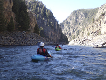
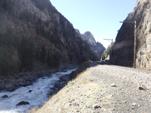
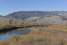
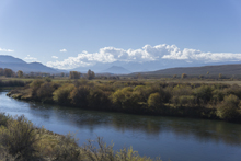
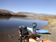
Putting on I was surprised by just how flat the paddle in was. I actually didn't know until the previous day there was a paddle in. It is 4 miles of flat. So so flat. After the 21 miles of paddle out the previous day plus all of the portaging in the Gunnison my back was pretty wrecked, which only made the paddle in that much worse. However, once you round the corner and look into the canyon it is all worth it. I was surprised just how rugged and steep the canyon was. It is something that does not come across in photos or video. The only downside is the train tracks that run the length of the canyon. But, at least they offer easy scouting.
The crux section of the run last for 3 miles and contains two class V rapids. There are also numerous class IV rapids in there as well to keep you occupied. The quality of the rapids, coupled with the quality of the scenery, and the dependable water throughout much of the year has kept this run a favorite for Colorado paddlers. The day we did it, we had 975 cfs which Tom said felt lower than 975 cfs normally feels. I thought it was a fun flow, but could also tell it was a bit on the lower side for the river as there were a few rocks to dodge here or there. Not so low I would deter anyone from going though. It was still really awesome.
After getting off of the river we began to drive back towards Denver to make our flight. We had about an hour and a half of pad for our flight. Should be enough, but certainly with the traffic we faced on the drive to the airport on Friday night we were nervous. And, go figure, the nervousness was warranted as we hit a mountain pass and quickly slow to stop and go. Luckily there is "go" in that and we only lose 30 minutes. Now however we face Denver rush hour traffic due to all of the delays we have faced. Until we got out of the car at the airport, with an hour to space, I think we were all a little nervous for a repeat of Friday at the start of the trip. Now all we had left was a 2 hour flight to Nashville followed by a 2.5 hour drive home. Arriving at 2 am I was happy to lay in my own bed and rest my sore body. But was a Friday to Monday trip to get the Black Canyon of the Gunnision, Gunnision Gorge, and Gore Canyon worth it? Oh yea. 100%!
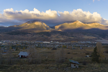
Mi 0:
- Flat Water. When I say flat water... I mean flat water. To make matters worse too, the deep channel moves around so you will be paddling and all of a sudden you are on 2 inches of water over sticky sand/mud. I had to push with my hands a few times. It is too bad that the land there is private because with a 20 foot walk you could cut out 1 mile of paddling when the river makes a huge horseshoe. But... it is illegal and people have been caught doing it. So don't
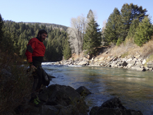
- First Rapid (III to III+). After the long flat water, pull over on the left and pull your dry top or dry suit on. And then peal out into this fun warm up rapid. The rapid is long but straight forward read and run.
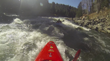
- Apple Sauce (IV+). Enter right of center and drive right through the curler coming off of the right. The hazard is being pushed left into rocks behind the hump on the ramp and out of site.
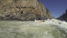
- Gore Rapid (V- to V). A few boogie rapids lead to an obviously more congested section. Before entering, stop on the right and scout from the train tracks. Depending on the flow, there are several different lines. The sneak is a small spout on the right which lands in an eddy allowing you to ferry out below the main hole. There are main lines running center and going right of the hole, or far left and hitting the edge of the main hole. Downstream, the river enters 100 yards of class IV boogie. Avoid the large fanning rock in the middle just downstream as it has a pin spot behind it. But you can go left or right of it.
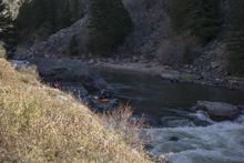
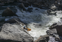
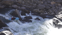
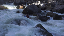
- Scissors (IV). Just below Gore Rapid is a rapid that you want to be on the right tongue next to the large mid river flake. At higher flow this flake forms a large hole.
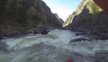
- Pyrite (IV to IV+). I have heard there is a center line, but I don't know what it is. All I have seen run, and what we ran, is the left boof line. Run down the far left and drive onto the flake for a nice 6-8 foot tall boof. Good fun.
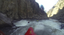
Boogie (IV to IV+). There is a long section of boogie. There are a few larger holes to punch in here, but they all go find.
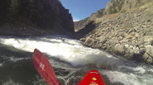
- Tunnel Falls (V). This is a worse looking drop that it looks like on video. A ramp to large hole on the right, and a catcher's mitt of a rock in the center. The line is apparently to run center to left through a lead in hole and drive torwards the catcher's mitt. But at the low flow we had, there was a rock that made that move hard, so instead Jim and Tom just mainlined through the hole. They both got through it, but didn't quite sell it. We portaged on the same side we scouted, the left.
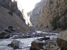
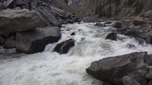
- Toilet Bowl (IV). A few boogie rapids that were mellow lead to a river wide ledge. We ran down the middle and boofed the ledge. At high flow this thing would become ugly!
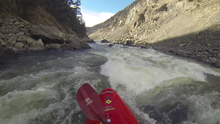
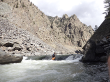
- Kirshbaum's Rapid (IV+). I think this was my favorite rapid. The thing was long! We started down the middle and worked our way right. Eventually after the river divided around rocks and came back together we then worked our way all the way left to finish. It was just good fun. I am told at really high flows this rapid is one of the scariest.
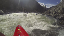
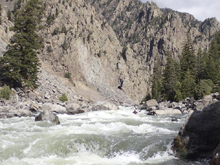
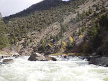
- Boogie (III to IV). Downstream there are one or two boogie rapids that standout but are read and runnable. And then it mellows out to class I to II until take-out.
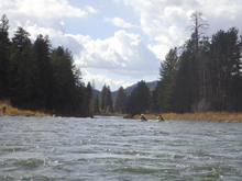
Take-out: From Kremmling, head south on CO-9 for 2.3 miles. Turn right onto County Highway 1 also called Trough Rd. Follow this for 10.3 miles to a right turn on County Highway 106. Follow this for 1.6 miles down to the river.
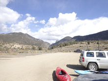
Put-in: Head back out to County Highway 1 and head back towards CO-9. After 9.8 miles, just after you cross the Blue River, take a quick left on first (and only) left turn before hitting CO-09. Follow this dirt road to the parking area that is put-in
HTML Comment Box is loading comments...
