Codi (Lower)
| Stretch: | 420 Gorge |
| Difficulty: | Class IV+ to V |
| Distance: | 1.7 km |
| Flows: | ~100-300 cfs (no gauge) |
| Gradient: | 279 fpm average (the two gorges are significantly steeper) |
| Put-in: | Bridge on the 420 just outside of Quenzi |
| Take-out: | Turnout at D420 and D20 junction (or lower at the lake, but the dam emlpoyees are apparently aggressive) |
| Shuttle: | 2.1 km, all paved (plus 10-15 minutes of hiking) |
| Season: | Spring from snowmelt/rain |
| Written: | © 2013 |
| Featured in Video A Wet State #74, Kayak Session's Guide and in A Wet State's contribution to World Kayak's Video Guide | |
And a huge thanks to Prijon for the boats they lent us!


Day 4:
Some folks are going to disagree with my opinion... I thought this run was great. Even though we had low water, and the in between was very low I always enjoy the feel of falling and accelerating in my kayak. Especially on rapids where the moves are easy to make the consequence is low. I know others in our group would say this is their least favorite run of our trip... to each their own I guess.
The Codi is a tributary of the very famous Rizzanese river. In 2011 (or maybe it was 2010) the Rizzanese had a dam put in that also drowns the confluence with the Codi. The dam's biggest impact is that it dewaters classic sections of whitewater on the Rizzanese, but another impact is that now the access to the Codi takeout is more complicated. Apparently the week before we boated the Codi, some friends had a very tense experience with the dam operators who are still conducting work at the site. Because of this, it was recommended that we take at a footbridge about 2/3rds of the way through the run. The bridge offers a steep hike less, than a kilometer long, up and out of the canyon to the road above. It also causes you to miss two rapids, one of which I have seen pictures of and looks like possibly the best rapid of the river. That is really too bad. I know that there is also an upper run on the Codi, perhaps it is now a good option to do the upper in conjunction with the lower. The upper from the photos I have seen looks a tad harder, though who knows since all I have seen are pictures on facebook.
The section we ran was in a very tight and steep canyon. The walls pinched around you, at times making you feel as if you were in a gutter. The first gorge is quite impressive with the rate at which it falls. As you scout the first rapid and look downstream, it may dawn on you that you are in for some steep gradient. Luckily though, all the rapids go, and in fact do so at a manageable pace. As I said, this was one of my favorite runs... big drops, big fun, and for once, no big consequences!
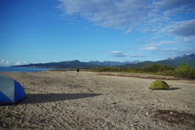
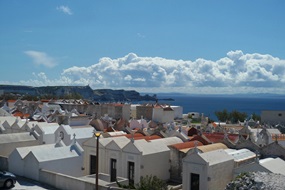
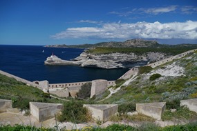
Some other highlights from this day of our trip were sleeping on the beach the night before. Then waking up and driving to Bonifacio at Corsica's southern tip. From which you could see Sardina just a handful of miles away. I highly recommend going to Bonifacio if you are in Corsica... it is well worth the drive out of the way.
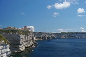
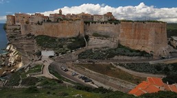
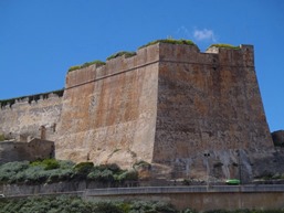
Finally, I apologzie for all of the GoPro and other video captures that I am pawning off as photos here... we tended to go fast on the water (putting on after 4 pm every day) and focused on taking video when we did hop out. Thanks to Paul Gamache for his contributions of photos as well as Darin McQuoid for his contribution of video that I took shots from.
Km 0:
- First Falls (IV). Action starts immediately, and continues for 0.9 km. After a few small rapids in the first 100 yards, you get to the lip of the first falls. Run center. It is a slide.
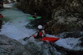
Second falls (IV-). The exit of the pool is a small 6 foot ledge, best boofed far right.
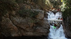
Gorge Rapid (IV+). This is a junky rapid that needed more water, we ran down the far left. The rapid ended in a hole with a shelf on the right that would drop you into the left wall.
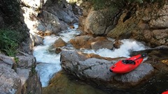
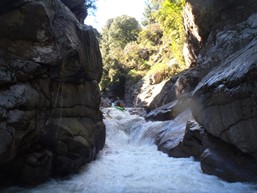
Third Falls (IV+). Easy move to make, drive hard to the right and cut through the curler. If you don't you will piton in the center.
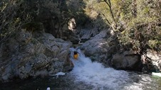
Fourth Falls (IV-). A small six foot ledge, best run down the far left.
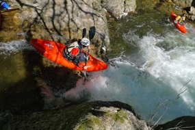
The Big Falls (V). A couple of small junky rapids lead to the pool above the Big Falls. Scout right. The falls starts with a slide to the left before sliding down into a free fall. Maybe 25 feet tall total. The landing is in a small pocket that exits into an undercut on the right. The better you boof the falls, the more likely you are to have to push your way off the undercut.
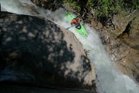
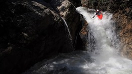
- Final Drop (IV+). A pinch on the left followed by a series of ledges run generally right, marks what I remember being the end of the first gorge.
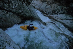
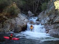
- Portage (eh?). A few fun ledges lead to a narrow pinch with some wood in it. It was runnable, but I think it would be hard to look good while doing it. Easy walk on the right.
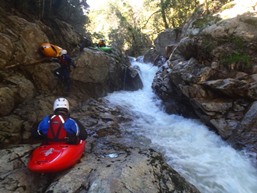
Slide (IV). A sweet slide that moves you left and transitions you onto the wall. Or you can try to aim center to get a nice boof.
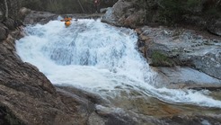
Ramp to Boof (IV+). A fun small ledge to slide to seven foot boof. At higher flows I could imagine the hole on this one getting mean as it is backed by a wall.
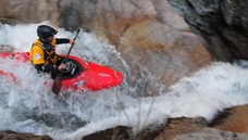
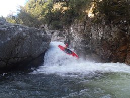
Portage (eh?). With more water this one is easier, at our flow the river pinched to either side of a midstream rock creating a narrow 6 foot ledge. We sealed launched in on the right. The Italians we met later on the trip however ran it apparently as I saw in their facebook photos after the trip.
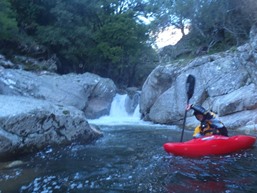
Ugly Ledge (IV-). The ledge was no problem... but I would hate to drop over it blind. Anything other than extreme right would end up in a rock pile with wood stuck pointing up in it.
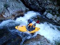
Junky Slide (IV). After a cool little slide leads you into a pool, there is a junky slide run far left. More water would have done this one good. It was abusive... After that, the footbridge appears shortly...
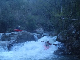
Directions: Use the GPS locations to get yourself to put-in and take-out... I wasn't driving most days and do not know enough of the directions to be useful.
Take-out: The old take out was at what is now the dam. Apparently this year there has been some bad blood between the construction workers and kayakers. In future years when they are no longer working perhaps taking out at the dam will be easier. We took out at a turn-out with a trail leading to the water about a half mile down. The trail is easy to spot at river level as there is a stone foot bridge over the water.
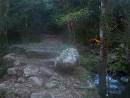
Put-in: Just outside of Quenzi on the 420 road there is a bridge over the Codi. This is put-in.
HTML Comment Box is loading comments...
