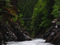
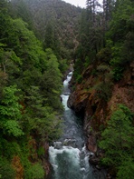
Clear Creek (Klamath Tributary - Upper)
| Stretch: | From Clear Creek Trail to Slippery View River Access |
| Difficulty: | Class IV to V |
| Distance: | 2.9 miles |
| Flows: | 500-1,200+ cfs (Compare 1:1 to Indian Creek Gauge). Dreamflows Indian Creek gauge |
| Gradient: | 100 fpm average |
| Put-in: | First Bridge on the Clear Creek trail |
| Take-out: | Slippery View River Access |
| Shuttle: | 1.9 miles (5 minutes one-way) |
| Season: | Winter and Spring from Rain/Snowmelt |
| Written: | © 2011 |
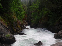
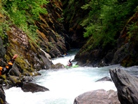
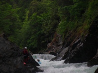
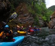
Upper Clear Creek is a true classic. High quality multi move rapids full of steep drops, holes, boofs, seams and curlers the river is a nonstop roller coaster ride from top to bottom. Somehow, despite its steep gradient and relentless feel, the river has large eddies or even pools between the drops. With twelve people in our group not once did I feel like it was too many people for the creek. The rapids tended to be relatively blind from above, but were scoutable if needed or able to be run off of beta since we had 3 people who had done the run before. Even with their beta, to complete the upper and lower runs together still took us nearly 3 hours, though we also spent the better part of thirty minutes at the Final Falls due to two swims and some unclear hand signs.
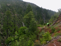
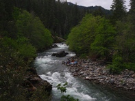
When not preoccupied with the rapids, take time to look above and below you. Unlike many other "Clear Creeks," this creek actually is crystal clear. Amazingly so. You could easily see 20 feet to the bottom of the deepest of the pools. And towering above you were steep forested walls at times locking you in completely. Hiking out of this run, although you are never far from the road would still be incredibly difficult.
So, some folks decide to not hike up the extra ~1 mile to the bridge crossing upriver from the trailhead. I highly recommend hiking up. The best section of river is up there. After two class III warm up drops, you are in it with several classic moves. The action continues past the trailhead but this section of rapids, although good, is less classic. The river then lets up briefly as you pass under the shuttle bridge as you approach the portage. Below the portage, you quickly get to the Final Falls which is the hardest rapid on the run... and it is only mildly scoutable and completely unportageable. Luckily there is literally nothing downstream for the next 4 miles so if you swim, collect your stuff in the pool below and float down to take out either a half mile below or at the end of the Lower run.
So my final thought, this run is so good that it will be the reason I drive 6-7 hours to the region again. Also, I thought it was going to be further from Forks of Salmon (where we were the prior two days) but it was only about an hour and thus can easily be run in conjunction with Nordheimer or the South Fork Salmon Gorge when in the area for a weekend.
Also, check out Darin's write-up for many more excellant pictures...
Mi 0:
- Put-in (III). Some people choose to put-in as soon as the trail is at river level. We carried another 100 yards to a cool class III rapid that leads to a walled in flat water gorge just below the first bridge.
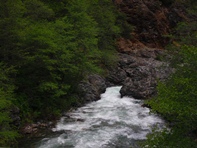
A quarter mile of class II-III warm up greets you giving you a brief warm-up before the action starts. The first four harder rapids are in the next 0.3 miles.
First Rapid (IV+). The first rapid can be seen from the trail on the way in. Move right at the top and boof the hole below.
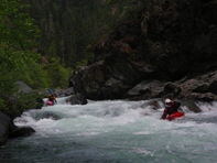
Double Drop (IV to IV+). Straight forward down the right. At our flows the holes were benign but I can imagine at higher flows it becomes harder. Also, if a rescue is needed make sure folks don't swim down the next rapid 50 feet downriver.
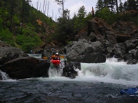
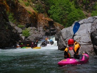
Curling (IV+ to V). Scout left, though only one person can get out at a time since there is nowhere to stow boats. Drive right behind the tree punching a curler feeding off the right wall that wants to shove you left into a sieved out area. End on the right and punch a hole. The curler put half of our group into no mans land on the rock that divided the river. One person flipped and ended up on river left but worked through it ok.
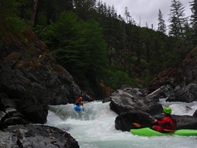
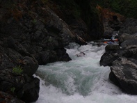
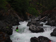
A Few Good Hazards (V- to V). Scout left or portage right. The initial tongue leads to a few holes, drive right down it as the left wall is undercut and has a sieve in the back of the undercut. This immediately leads to a pinch exit that is also moderately sieved out.
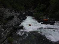
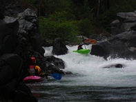
Mile 0.6 to 1.2 is easier boogie.
- Boof (IV to IV+). What a sick boof. It endered a few people and got a few people worked in the hole. But for those that hit it, it was great.
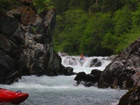
Two Channels (IV to IV+). At higher flows apparently you go right and it is mellow. At our flows, right was junky. Left was good and the hole at the bottom was not bad.
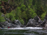
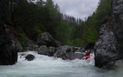
Possible Portage (V). Totally runnable, but you have to get through mank in order to get to the rock fence creating a wall of sieves. The walk on the left is manageable. We all walked. At higher flows apparently the exit cleans up considerably.
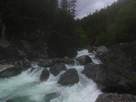
About a third of a mile of boogie leads to the next set.
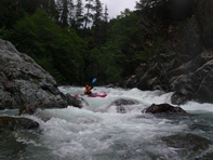
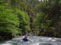
- Ledge (-IV). Boof the left side of the ledge over the good size hole. Eddy out left.
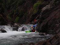
So Fresh and So Clean (IV+ to V). The top ledge had a sweet boof in it that landed you in front of a rather large boil from the ledge. Not the place to be out of control. Power through and run the exit hole wherever.
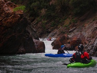
- Portage (V+). I believe this rapid has still yet to be run. Two massive holes bounce off each wall. One at a time, catch the eddy on the right (seriously, one at a time, the rest should wait well upstream) and portage on the right.
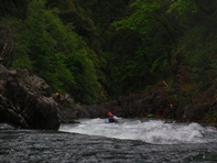
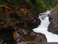
Post Portage Ledge (IV-). A good size ledge best run on the right is immediately below the portage.
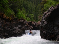
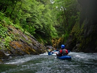
- Cottonmouth (V). Moderately scoutable from the lip on the left, you will see there is a ledge downstream of the entrance, and that is about it. The key is the hole just downstream at the choke point 20 feet below the ledge. Either run the center of the entry or sneak it on the left (after you see a few flips here and a broken paddle you might decide to sneak the entry). Then either boof the ledge on the left, run the center tongue, or the far right tongue but drive left off them all to get to the far left for the hole below. It swam two people. Somehow though, after Darin broke his paddle in the entry he managed to work his way out of the ledge and the bottom hole with only half a paddle. Quite impressive.
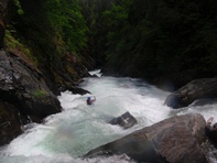
- Take-out on the left should be scouted prior to putting on as it is very easy to miss.
Take-out: 7.5 miles west on Highway 96 from Happy Camp turn right on the road that I believe was marked as Clear Creek Rd (or FR-16N10 on the maps). If you cross Clear Creek on Highway 96, go back and take the first turn that you passed. Follow the signs towards the Clear Creek Trailhead. After 6 miles you will see a river access sign for Slipper View. This is take-out. It is recommended that you walk down to the water to scope out the take-out as it is easy to miss.
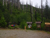
Put-in: Continue up toward Clear Creek Rd. You will cross the creek and come to a fork, stay right and in a few hundred yards you will come to the parking area and trail head. It is about a 0.9 mile hike to the top from here.
HTML Comment Box is loading comments...

