Clear Creek (Klamath Tributary - Lower)
| Stretch: | Slippery View River Access to the Klamath |
| Difficulty: | Class II |
| Distance: | 4.25 miles |
| Flows: | 500-?,000+ cfs (Compare 1:1 to Indian Creek Gauge). Dreamflows Indian Creek gauge |
| Gradient: | 55 fpm average |
| Put-in: | Slippery View River Access |
| Take-out: | Klamath River, Highway 96 |
| Shuttle: | 7 miles (10 minutes one-way) |
| Season: | Winter and Spring from Rain/Snowmelt |
| Written: | © 2011 |
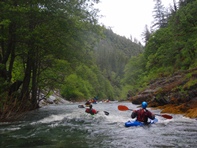
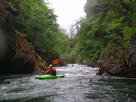
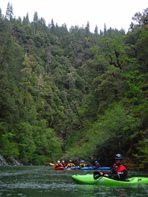
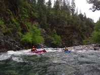
I am going to keep this write-up brief. This is a great class II run. The scenery and water clarity will delight any boater who ventures down it. Whether you are a class II boater doing this run by itself or a class IV-V boater extending the Upper run with a mellow paddle out to extend your day, it is worth it. The thick forest and shear canyon walls may be intimidating but rest assured that there are no significant hazards downstream. Instead you are greeted with a meandering creek with small overhanging caves along the river and tall mountains rising around you. Only as you get within a few hundred yards of take-out do you start to see signs of civilization leaving you with the feeling of being deep in the jungles of Central America.
The only rapid worth mentioning is a small rapid on a sharp right corner to the river around a shoal. The left channel has an avoidable piton hazard fanning water up obviously. Just move to the right to avoid it. The rest of the rapids are straight forward.
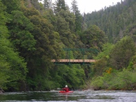
Take-out: 7 miles West of Happy Camp on Highway 96, the road crosses Clear Creek, park at the bridge.
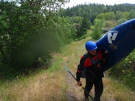
Put-in: Go 1.3 miles back towards Happy Camp, turn left on Clear Creek Rd. Follow this for 5.5 miles to the Slippery View River Access that is well marked.
HTML Comment Box is loading comments...
