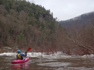
Clear Creek (Clear Creek Gorge)
| Stretch: | Lilly to Nemo |
| Difficulty: | Class III to IV |
| Distance: | 6.8 miles (1.5 on Clear Creek, 3.3 on the Obed, and 1.0 on the Emory) |
| Flows: | 400 cfs (very low) to 10,000 cfs (or more). Check out American Whitewater's current flow gauge. |
| Gradient: | 55 fpm (on Clear Creek) then 18 fpm |
| Put-in: | Lilly Bridge on Ridge Road near Lancing |
| Take-out: | Nemo Bridge on Catoosa Rd near Wartburg |
| Shuttle: | 15.3 miles (35 minutes one way) |
| Season: | Winter/Spring from rain |
| Written: | © 2014 |
Finally, business trips timed such that I didn't miss all of the rain in the SE. This time, returning Friday I was greeted by an evening or rain when rivers surged, providing one day of respite from work prior to my Sunday departure on another business trip. However that day of rain was significant, and plans were changing as fears of flash floods were abound.
As we were lying in bed, our first plan to go to Daddy's creek fell through due to flash fears, the alternative with those friends was an easier day... which Diane and I decided to skip on and lay in bed longer as both of us were sleep deprived. But then we got work of a group heading to Island Creek, a run that everyone has said must be a priority for me to get on... so we rolled out of bed and got going. Arriving at Island Creek take-out we saw a very brown river, no surprise since all the tributaries we drove over were spilling their banks full, frothing and surging dark brown. As we drove to the Island Creek put in, surprise would put it mildly that in fact Island Creek did not budget in the slightest. Did the rain hit everywhere other than this drainage?!?
The next plan was to do Little Clear Creek into Clear Creek and down to the Nemo take-out. So, we left a car and headed up to check flows up top. Arriving at Little Clear Creek we found flows on the higher side at 2.8, higher than half our group felt like boating it at. Plan C, just Clear Creek with a potential lap on Little Clear Creek at the end of the day after it dropped. Finally, arriving at Clear Creek we found a healthy, but by no means high flow and were able to get some boating in.
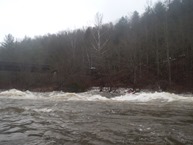
The first rapid was reported to have a sticky hole that can stomp people. Our group decided to edge on the side of caution and scout. As it turns out at the 2,200 flow that we had the hole washed out and it is just a crashing wave left of center. Below, Diane and I read-and-run our way down enjoying some great rapids prior to the confluence with the Obed. Below, the rapids eased and became wave trains, with the best being the first. Soon the river turns to mostly flat water and the site of the Emery entering on the left is all too welcome and signals that you are nearing the end.
After we got off the river, while driving out shuttle we once again stopped at the Little Clear Creek put-in expecting it to have dropped as it had not rained all day. To our surprise, it help steady and had not dropped even an inch. Diane and I considered putting on as our car was at the Little Clear Creek take-out (the put-in for the Clear Creek section we did), but without even the slightest knowledge of what lay downstream, we decided to all call it a day... though with one last stop at the Crooked Fork to check out Potter's Falls. We knew the flow was going to be high, so it wasn't as much to scout as it was to admire. But arriving to see 9 feet of deep brown water surging over the falls and through stout holes only solidified our desire to not suite back up. Though both falls had a line at that flow that I would have run on a warmer day, so perhaps next time.
Anyways, Clear Creek itself was a fun run. The creek had some very nice scenery in its tight canyon. The rapids were fun and had a big water-ish feel to them, but even at 2,200 still were only III+ with maybe one bordering on IV. The downside is that the creek is all too short. Once you hit the Obed the rapids lose their challenge and it becomes a little bit of a slog. With the higher flow the water continued to move thankfully. But I can imagine it is slow going when the water is at 1,000 cfs. I look forward to returning to this area though to get Island Creek and the Little Clear Creek. And as such, I am sure I will return to this section as well.
Mi 0.3:
- Jacks Rock Falls (III). At this flow it was a straight forward ramp into a crashing wave. Just make sure you are left of center. The right has a sticky hole. It looks drastically different at lower flow.
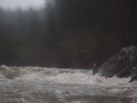
Camel Rock (III-). Just downstream was camel rock, where the river split around a rock pile. The right had a boof over a bit of a hole. Or there was a sneak on the left bank. Just avoid the rock pile in the middle.
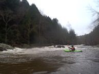
- Wooten's Folley (IV). At this flow, this was the most fun rapid in my mind. We started off on the far right and cut behind a large poor over in the middle at the top. We then drove left to stay off the wall at the right on the bottom.
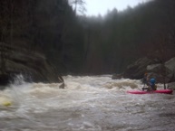
- Ledge (III-). This rapid was easy enough, wave train that leads to a macking hole at this flow. Just make sure to end up left.
- Focus Falls (III-). One last rapid, it looks big from above. But there ended up being a nice ramp down the middle that we moved left across.
- Island (III). On a right bend you will come to a long and (depending on the flow) powerful rapid. At high flows, I would recommend avoiding the left and center unless you are confident to maneuver around big holes. Most of the time, just stay down the right for the most straight forward line.
- Cyclops (III to III+). Depending on the flow, this one is either mellow with nothing really going on, or it is a huge wave hole (like 15 feet tall) in the center with the water moving towards it. At those higher flows, drive right and don't let the boily shore water spin you out!
Boogie (II+ to III-). Downstream, there are a few more fun rapids, but it mellows out for sure.
- Confluence with the Emory. Below is fast moving water down to take-out.
For more details on the run, see the AW write-up...
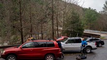
Take-out: From Knoxville, head up 162 then 62 to the town of Wartburg. On the far side of town, turn left on N Kingston St and follow it for 0.2 miles before turning left on Main St. In 0.1 miles when Main St bends right, go left on Bonifacius St and follow for just 0.2 miles before turning left on Catoosa Rd (I think actually Bonifacius turns left and at the 90 degree bend and then the road name changes to Catoosa). Either way, then follow it for 5.5 miles down to the river.
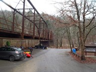
Put-in: Take Catoosa Rd back towards Wartburg for 5.5 miles, as you get into town turn right on Bonifacius St and quickly turn left on Main St (Old Highway 27). In less than a mile, turn left on Montgomery Rd and follow it for 2.9 miles until you hit TN 62. Turn left and follow it for 2.5 miles until Ridge Rd departs on your left. Take Ridge Rd 3.2 miles down to the river.
HTML Comment Box is loading comments...

