Clear Creek (Barnett to Jett)
| Stretch: | From Barnett Bridge to Jett Bridge |
| Difficulty: | Class II to II+ (III) |
| Distance: | 4.6 miles |
| Flows: | +180 cfs. Though 800 cfs felt like an ideal flow for the average user. Check out American Whitewater's current flow gauge. |
| Gradient: | 6.5 fpm average |
| Put-in: | Barnett Bridge Access on Frankfort-Deerlodge Rd |
| Take-out: | Jett Bridge Access on Genesis Rd |
| Shuttle: | 4.5 miles (less than 10 minutes one way) |
| Season: | Winter/Spring from rain |
| Written: | © 2019 |
Having friends visit from out of town is great for a number of reasons. Obviously, seeing your friends and catching up, but also sharing your rivers with them, and then finally, getting yourself on runs that maybe you wouldn't normally prioritize. So when Culley and Karrie Thomas sent me a note saying they were coming south from Vermont to paddle class II with their boys, I knew a good few days would be had.
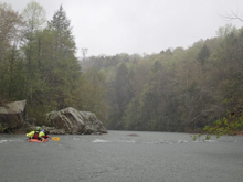
After they spent a few days on the North Carolina side of things, they came over our way. Torrential rain was anticipated, and sent a lot of stuff high overnight. With that in mind, we found a pocket where the rain was lighter, and it just happened to be directly over Clear Creek.
We have done Clear Creek Gorge, downstream of the Lily bridge, a number of times, almost always very high after paddling out from Little Clear Creek. We always knew that there were good quality sections upstream, but as they are in the class II range, we never prioritized boating them. We opted to do two section this day, to make for a more complete day, so we started at Barnett, went past take-out at Jett Bridge, and continued down to the Lily Bridge.
The river starts with a good rapid, Cook's Hole, just downstream of put-in. Downstream, the river has an occasional rapid, with moving flat water for the next few miles. Around mile 2.5 things start picking up. The biggest thing to note here is the Dangerous Undercut rapids. The first can be avoided all together (see description) by taking the left channel around an island. The second is on one of the only channel, though the move isn't terribly difficult.
I thought the quality of the rapids and the scenery made this run very worth while. Downstream of Jett, in the next section, the rapids pick up. But for what this section was, I thought it was really nice. I am unsure why more people don't add it to a Jett to Lily lap.
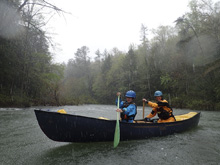
For reference, we had 980 cfs or so. Culley and Karrie thought the run was perfect for their kids. Though I should note that both adults are accomplished boaters and the kids were in the front of a canoe (10 year old) and Duo (6 year old). Anyways, if you mare looking for mellow, scenic, fun class II... look to Clear Creek.
Mi 0.0: Mi 0.4:
- Cook's Hole (II+). On the first left turn comes the first rapid. There is a pile of rocks creating multiple channels. We hugged the left side of the center channel.
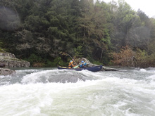
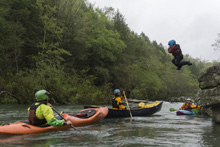
Boogie (II-). There is an occasional boogie rapid spread amongst rather flat, but moving sections. Things start picking up a little bit after a mile or so.
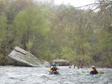
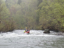
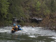
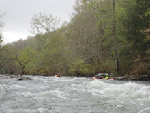
- Old Mill Rapid (II). A small ledge channel is the most straight forward way through this rapid. It ramps through a small hole, but then is chill. The center channels slide down the back of large slab rocks.
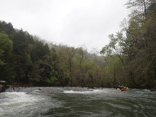
Scree Field is visible on the left, it sticks out as completely different scenery. This is your indicator that the undercut rapid is not far downstream. First, there is a small pool to paddle across.
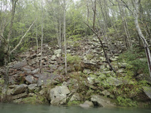
- Dangerous Undercut (III). I didn't actually get a look, so I do not know how hard it is to avoid. But, the general consensus is to just stay in the other channel. The river splits around a shoal/overgrown island, take the left side. Briefly, the island stops, again stay left just downstream at the next island. At the bottom, you will still run a tight-ish slot on the left, but this spot doesn't appear to be dangerous. The danger is on the right side of that rock, or perhaps one upstream.
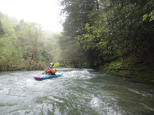
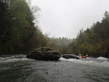
A small pool with a really easy to avoid undercut fills this stretch
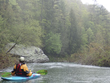
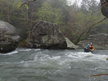
- Another Dangerous Undercut (II+). The last hazard is on a right bend, some very distinct large cube shape boulders block the river, the line is to stay left away from the rocks on the right, as one in the small channel is undercut. It is not a tough move.
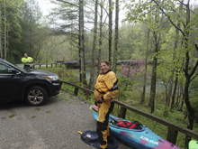
Take-out: From Wartburg on Highway 27, continue north for 2.7 miles before turning left onto TN-62 W. Follow this for 6.5 miles before turning left onto TN-298 S. Follow this 1.3 miles, look for the access which drops down to the right on a road to a parking area, several hundred yards before you get to the bridge over the river.
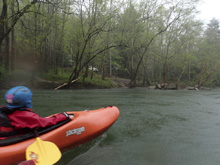
Put-in: Continue over the river on TN-298 S. Follow for 3.0 miles before turning right onto Frankfort Deerlodge Rd. Follow this for 1.5 miles, the parking is just before the bridge. The easiest access is upstream of the bridge, on that side of the river.
HTML Comment Box is loading comments...

